File:OpenTopoMap Fil vert de l'Huveaune.png
Jump to navigation
Jump to search


Size of this preview: 800 × 500 pixels. Other resolutions: 320 × 200 pixels | 640 × 400 pixels | 1,024 × 639 pixels | 1,280 × 799 pixels | 1,680 × 1,049 pixels.
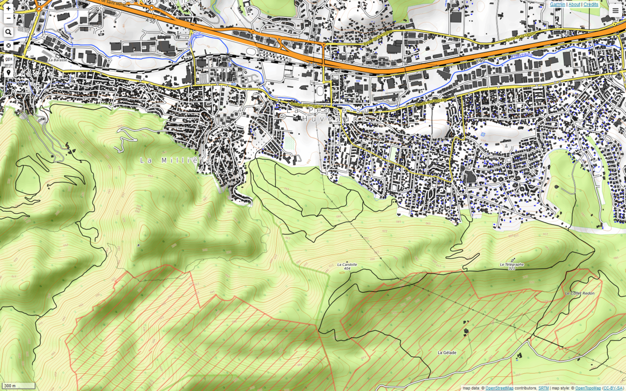
Original file (1,680 × 1,049 pixels, file size: 1.51 MB, MIME type: image/png)
L'équivalent du scan 25 version OSM sur le sentier pédestre.
File history
Click on a date/time to view the file as it appeared at that time.
| Date/Time | Thumbnail | Dimensions | User | Comment | |
|---|---|---|---|---|---|
| current | 21:07, 2 October 2018 | | 1,680 × 1,049 (1.51 MB) | J-Louis ZIMMERMANN (talk | contribs) |
You cannot overwrite this file.
File usage
The following page uses this file: