File:Power-PAP-z13.png
Jump to navigation
Jump to search

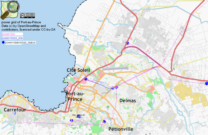
Size of this preview: 800 × 519 pixels. Other resolutions: 320 × 208 pixels | 640 × 415 pixels | 1,024 × 664 pixels | 1,250 × 811 pixels.
Original file (1,250 × 811 pixels, file size: 606 KB, MIME type: image/png)
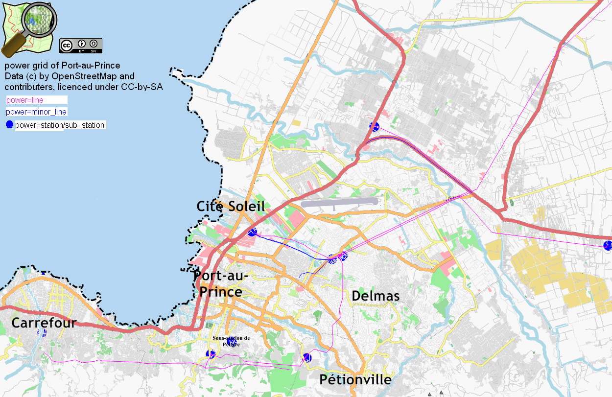
power lines and minor power lines at Port-au-Prince area. contact: bahnpirat@nickname.berlin.de
Licensing
![]()
Contains map data © OpenStreetMap contributors, made available under the terms of the Creative Commons Attribution-ShareAlike 2.0 (CC-BY-SA-2.0).
File history
Click on a date/time to view the file as it appeared at that time.
| Date/Time | Thumbnail | Dimensions | User | Comment | |
|---|---|---|---|---|---|
| current | 18:10, 26 January 2010 | | 1,250 × 811 (606 KB) | Bahnpirat (talk | contribs) | category:power userCategory:WikiProject Haiti |
| 11:55, 23 January 2010 | 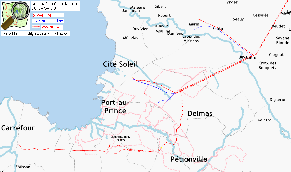 | 1,182 × 698 (193 KB) | Bahnpirat (talk | contribs) | power lines and minor power lines at Port-au-Prince area. contact: bahnpirat@nickname.berlin.de |
You cannot overwrite this file.
File usage
There are no pages that use this file.