File:Praha, Malá Strana, Petřín, rozbitá silnice.jpg
Jump to navigation
Jump to search


Size of this preview: 800 × 533 pixels. Other resolutions: 320 × 213 pixels | 640 × 426 pixels | 1,024 × 682 pixels | 1,280 × 853 pixels | 2,560 × 1,706 pixels | 4,770 × 3,178 pixels.
Original file (4,770 × 3,178 pixels, file size: 3.54 MB, MIME type: image/jpeg)
This file and its description are from Wikimedia Commons.
Summary
| Description |
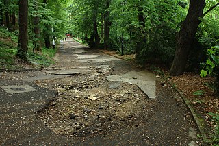
Čeština: Rozbitá silnice v Praze v Petřínských sadech
English: A broken road in Prague, Petřínské sady Park, CZ |
||||||
| Date | |||||||
| Source | Own work | ||||||
| Author |
|
||||||
| Permission (Reusing this file) |
This file is licensed under the Creative Commons Attribution 3.0 Unported license.
|
||||||

| Camera location | | View this and other nearby images on: OpenStreetMap |
|---|
¨
File history
Click on a date/time to view the file as it appeared at that time.
| Date/Time | Thumbnail | Dimensions | User | Comment | |
|---|---|---|---|---|---|
| current | 09:09, 7 May 2012 | | 4,770 × 3,178 (3.54 MB) | wikimediacommons>Aktron |
File usage
The following page uses this file: