File:Samenscholingsverbod Doel.jpeg
Jump to navigation
Jump to search


Size of this preview: 600 × 599 pixels. Other resolutions: 240 × 240 pixels | 481 × 480 pixels | 769 × 768 pixels | 1,025 × 1,024 pixels | 1,543 × 1,541 pixels.
Original file (1,543 × 1,541 pixels, file size: 462 KB, MIME type: image/jpeg)
Summary
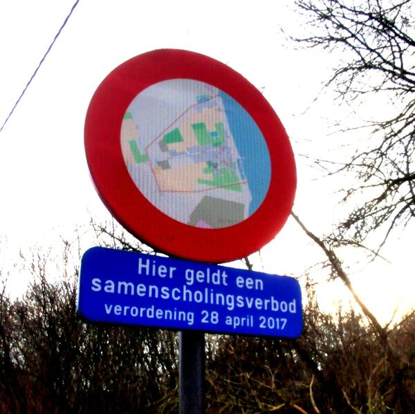
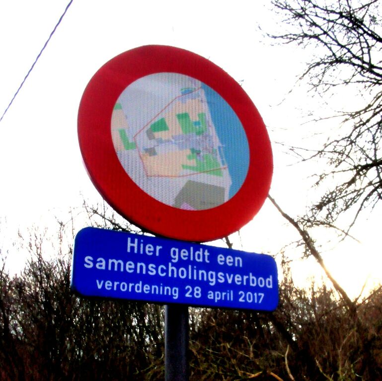
Een aangepast C3-Bord in deelgemeente Doel (Beveren) met onderschrift "Hier geldt een samenscholingsverbod, verordening 28 april 2017"
Op het C3-bord staat een screenshot van Doel (gebaseerd op OpenStreetMap) met de outline van de zone van het samenscholingsverbod
Licensing
![]()
I, the creator of this work, hereby release it into the public domain. This applies worldwide.
In case this is not legally possible, I grant anyone the right to use this work for any purpose, without any conditions, unless such conditions are required by law.
Notice to creator or uploader: Please consider using {{CC0-self}} instead for your work.
"Releasing work to public domain" has some issues, as it is not well defined in some jurisdictions and/or it is not actually possible to "release to public domain". Using CC0 license achieves the intended effect while avoiding such problems and is well suited for media files.
File history
Click on a date/time to view the file as it appeared at that time.
| Date/Time | Thumbnail | Dimensions | User | Comment | |
|---|---|---|---|---|---|
| current | 14:11, 1 January 2021 | | 1,543 × 1,541 (462 KB) | Pietervdvn (talk | contribs) | Een aangepast C3-Bord in deelgemeente Doel (Beveren) met onderschrift "Hier geldt een samenscholingsverbod, verordening 28 april 2017" Op het C3-bord staat een screenshot van Doel (gebaseerd op OpenStreetMap) met de outline van de zone van het samenscholingsverbod |
You cannot overwrite this file.
File usage
The following page uses this file: