File:Weimar lat50,9799 lon11,3259 z13 - 20071109 041214.png
Jump to navigation
Jump to search
Size of this preview: 681 × 600 pixels. Other resolutions: 273 × 240 pixels | 545 × 480 pixels | 736 × 648 pixels.
Original file (736 × 648 pixels, file size: 153 KB, MIME type: image/png)
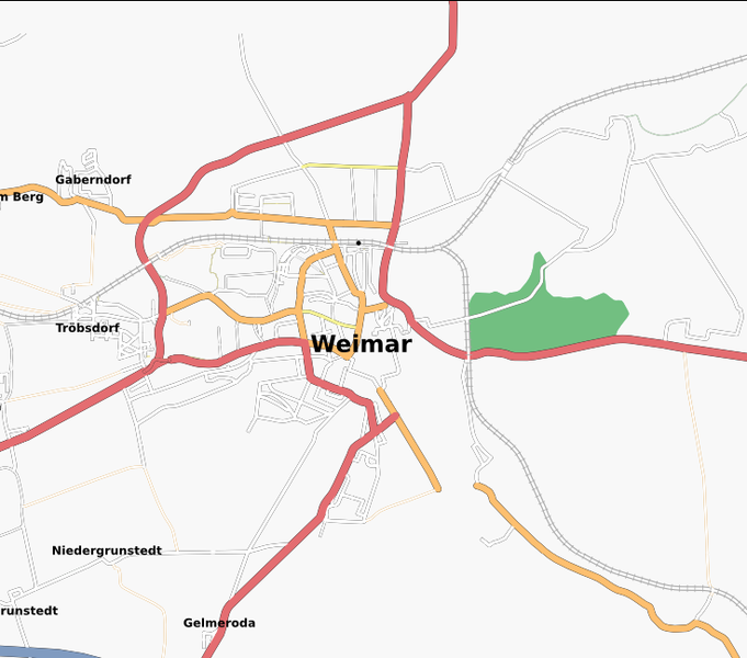
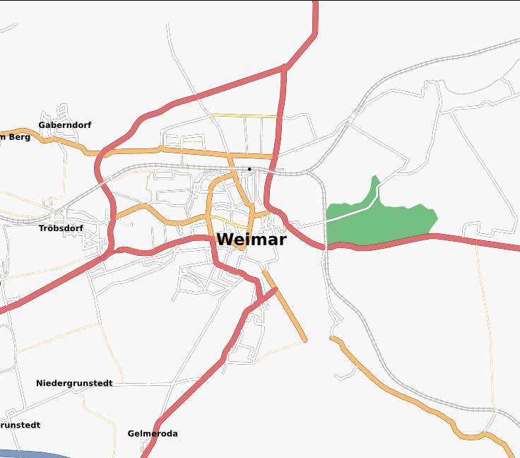
map of Weimar (osmarender) at lat=50.9799 lon=11.3259 zoom=13 on 11/09/2007
![]()
Contains map data © OpenStreetMap contributors, made available under the terms of the Creative Commons Attribution-ShareAlike 2.0 (CC-BY-SA-2.0).
File history
Click on a date/time to view the file as it appeared at that time.
| Date/Time | Thumbnail | Dimensions | User | Comment | |
|---|---|---|---|---|---|
| current | 03:20, 9 November 2007 | | 736 × 648 (153 KB) | Miskellaneous (talk | contribs) | map of Weimar (osmarender) at lat=50.9799 lon=11.3259 zoom=13 on 11/09/2007 |
You cannot overwrite this file.
File usage
There are no pages that use this file.