Uploads by Acrosscanadatrails
Jump to navigation
Jump to search
This special page shows all uploaded files.
| Date | Name | Thumbnail | Size | Description | Versions |
|---|---|---|---|---|---|
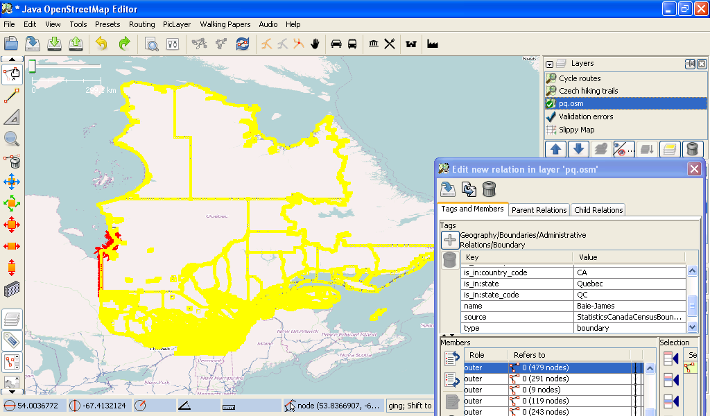
| 01:12, 29 November 2010 | Quebec StatsCan Boundaries.png (file) |  |
111 KB | 1 | |
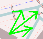
| 14:14, 28 September 2010 | Waterway canal.png (file) |  |
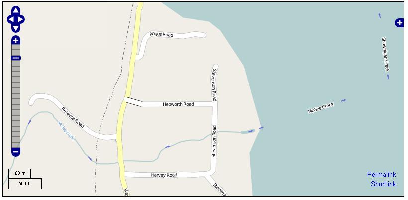
8 KB | and example of mapnik rendering of a canal (as indicated with the arrows) | 1 |
| 02:27, 11 August 2010 | Bing and osm.JPG (file) |  |
153 KB | ArcGIS showing OSM mapnik over the BigMaps aerial imagery as a transparent overlay | 1 |
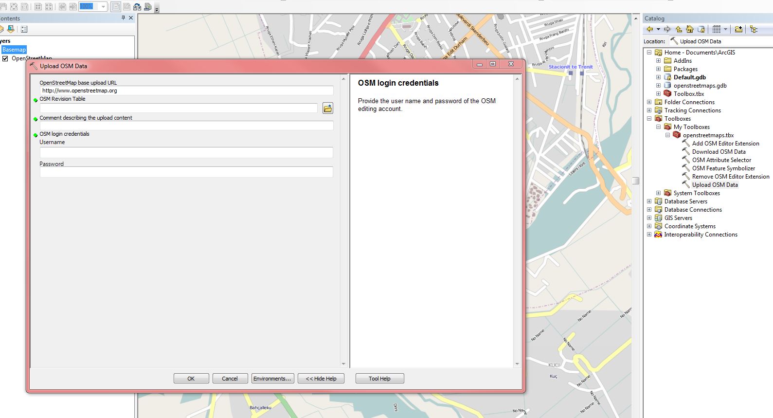
| 02:25, 11 August 2010 | Arcgis upload.JPG (file) |  |
150 KB | ArcGIS showing how to upload data to OSM | 1 |
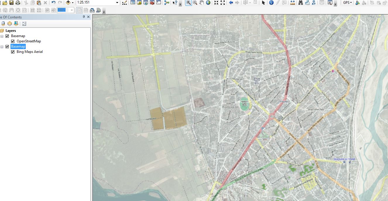
| 02:24, 11 August 2010 | Shkoder area in ARCMAP10.JPG (file) |  |
133 KB | Viewing the shkoder area in ARCMAP10 | 1 |
| 02:22, 11 August 2010 | OSM toolbox.JPG (file) |  |
135 KB | ArcGIS showing the OSM Toolbox, with all the various choices | 1 |
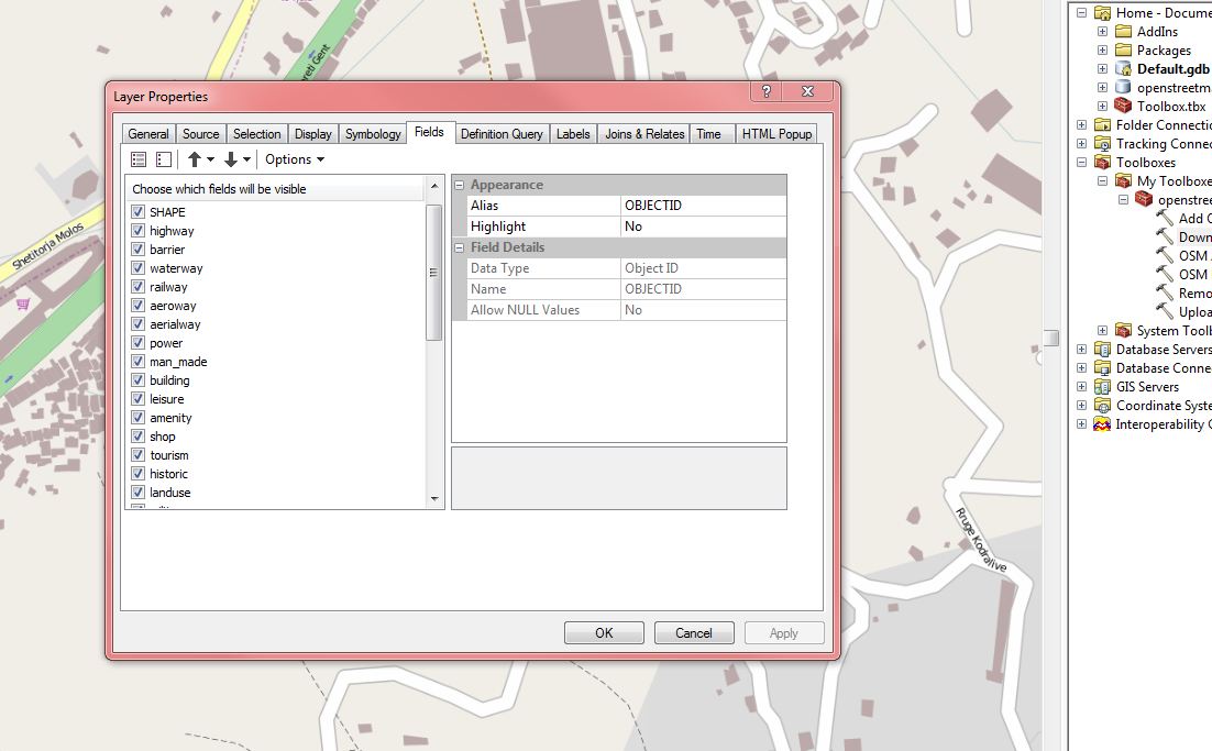
| 02:20, 11 August 2010 | Layer properties.JPG (file) |  |
105 KB | ArcGIS showing the different layer properties of OSM data | 1 |
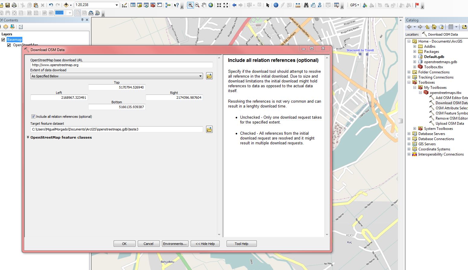
| 02:18, 11 August 2010 | Download.JPG (file) |  |
194 KB | Showing how ArcGIS can download OSM data | 1 |
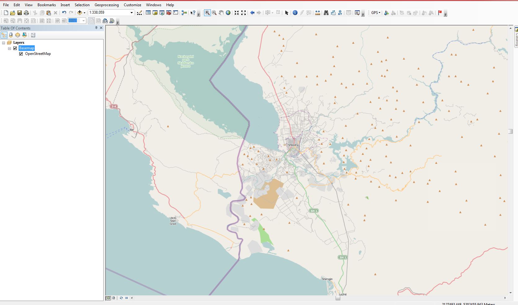
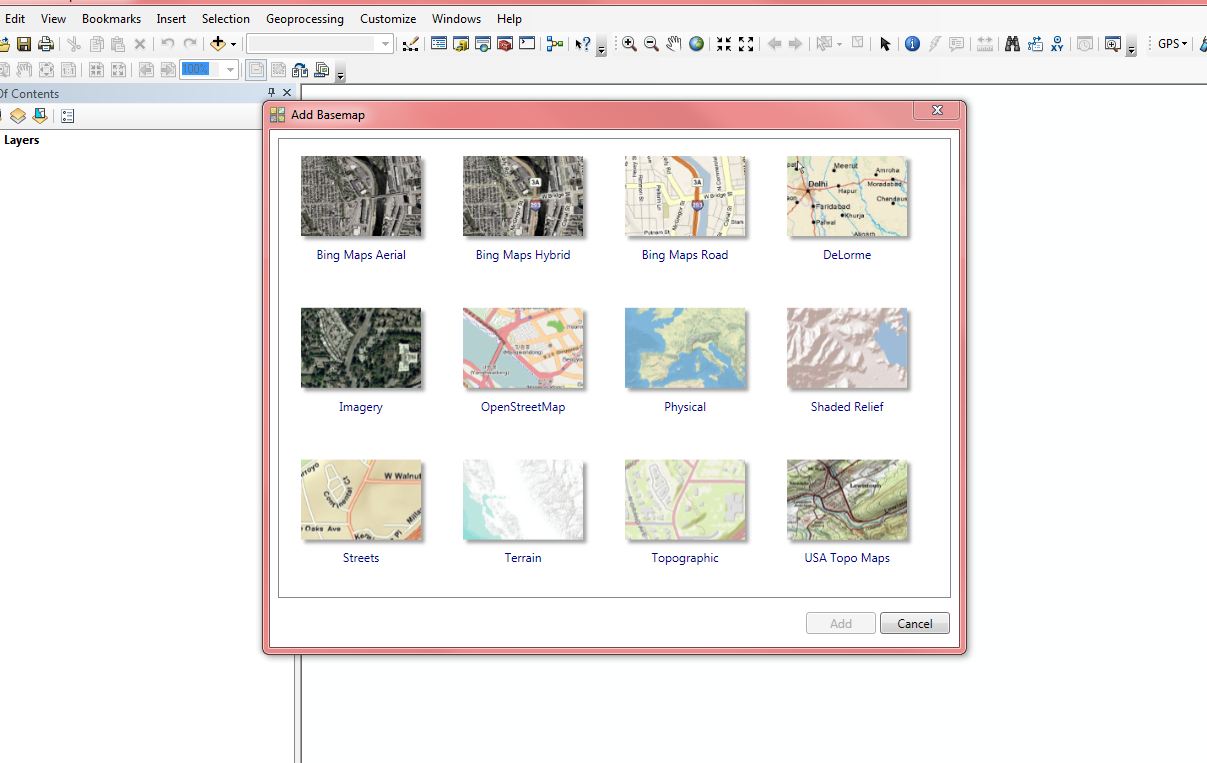
| 02:10, 11 August 2010 | Basemap.JPG (file) |  |
105 KB | ArcGIS showing the different basemaps available | 1 |
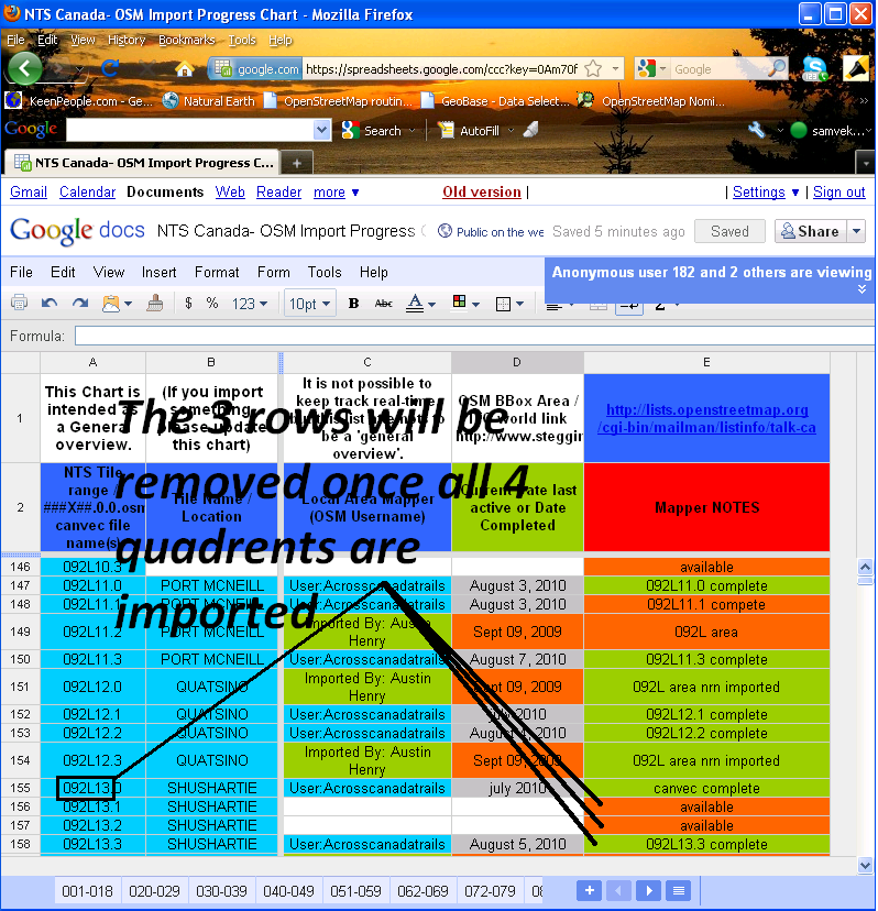
| 12:06, 9 August 2010 | NTS GoogleDocsChart.png (file) |  |
169 KB | NTS_Canada Google Docs chart view with explaination | 1 |
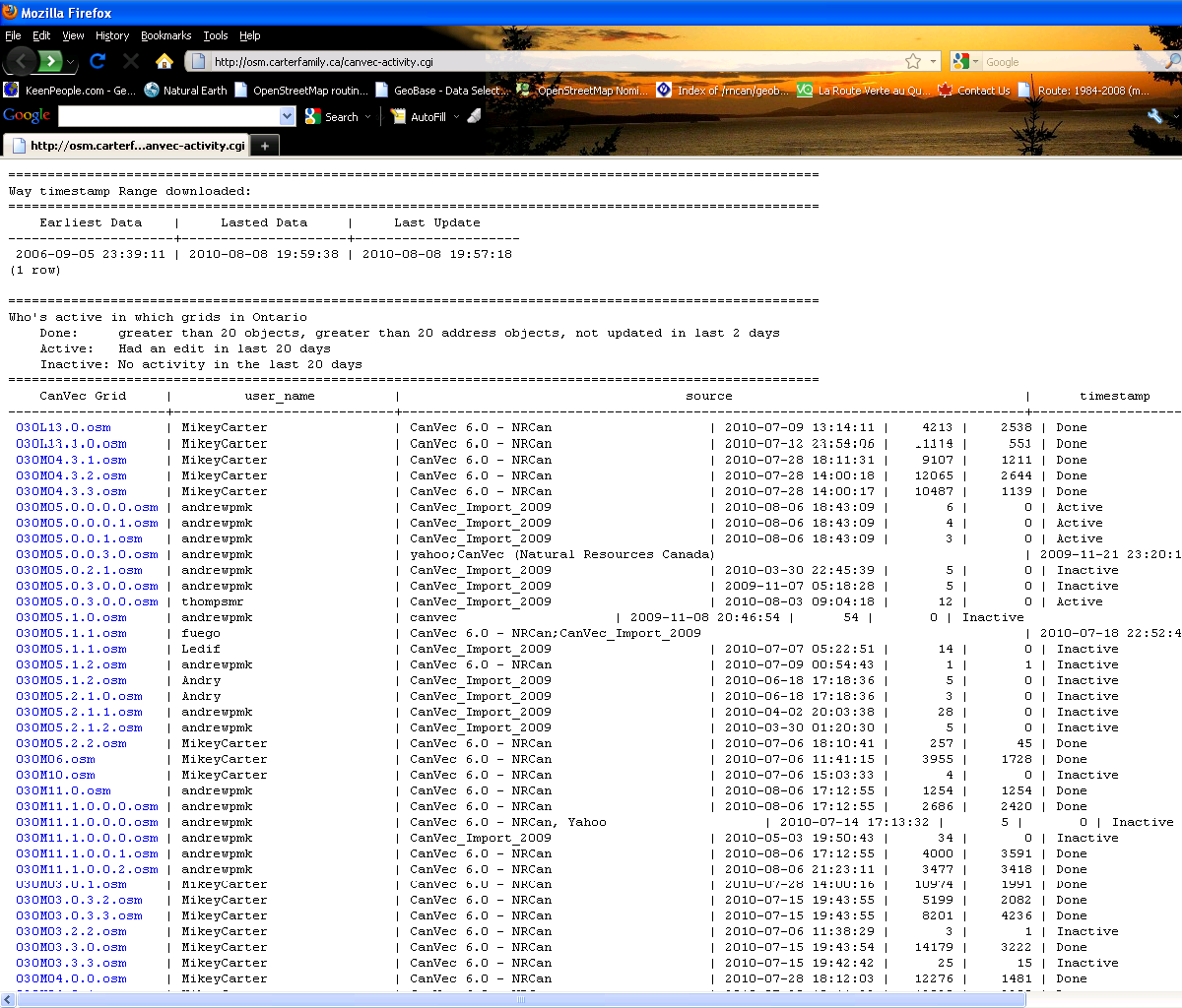
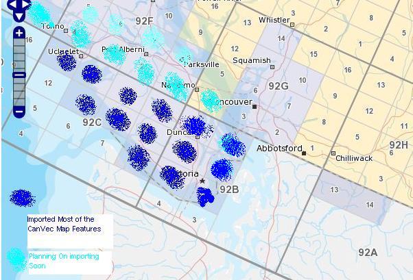
| 12:02, 9 August 2010 | Canvec activity.png (file) |  |
180 KB | 1 | |
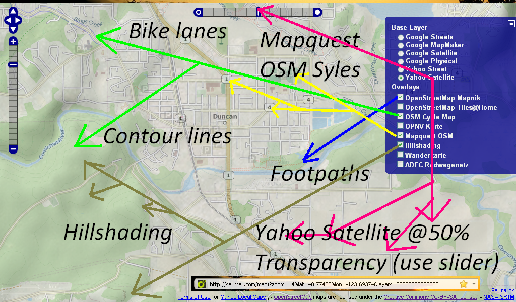
| 00:08, 22 July 2010 | Sutter MapQuest Yahoo OSM CyleMap Mashup.PNG (file) |  |
998 KB | 1 | |
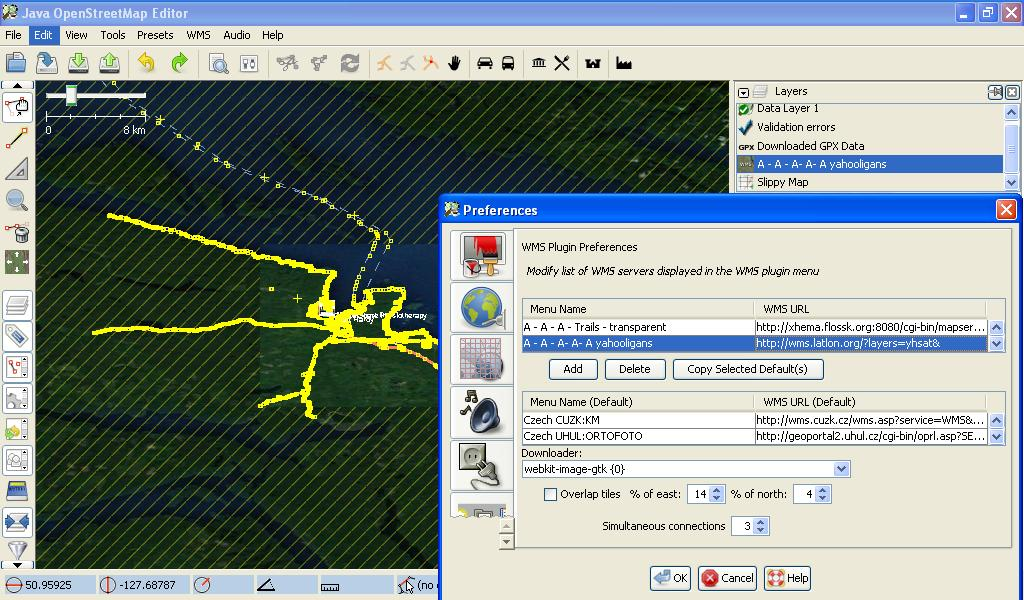
| 00:48, 20 July 2010 | JOSM WMS Yahoo.PNG (file) |  |
915 KB | 1 | |
| 00:30, 20 July 2010 | JOSM WMS Yahoo.jpg (file) |  |
153 KB | Yahooligan WMS background. | 1 |
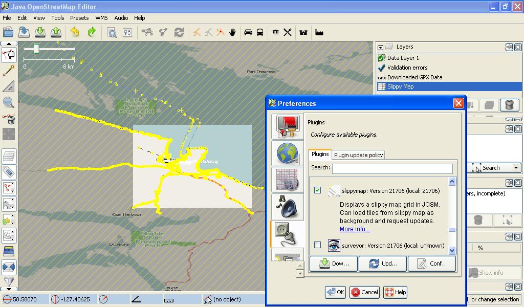
| 00:23, 20 July 2010 | JOSM SlippyMap plugin wms.jpg (file) |  |
124 KB | 1 | |
| 19:22, 19 July 2010 | 021L14 CanVec Routable IMG colours.jpg (file) |  |
309 KB | Added sample | 1 |
| 19:14, 19 July 2010 | JOSM Toporama.jpg (file) |  |
235 KB | View of NRCan Toporama WMS layer | 1 |
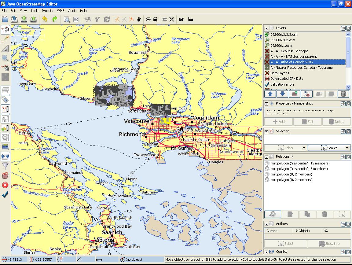
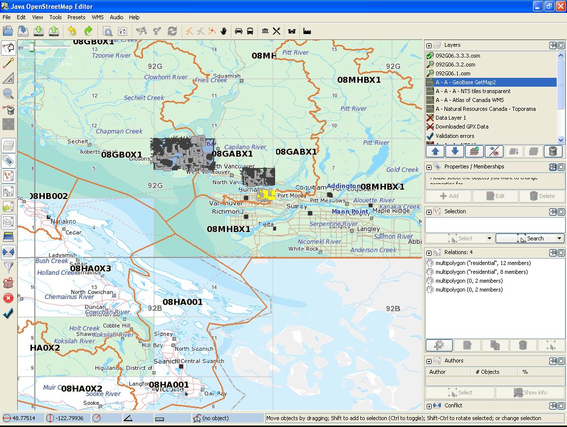
| 01:17, 15 July 2010 | JOSM NTS GeoBaseNHN CanTopo.jpg (file) |  |
209 KB | Listing the NTS tiles #'s and the geobase NHN reference tile #'s | 1 |
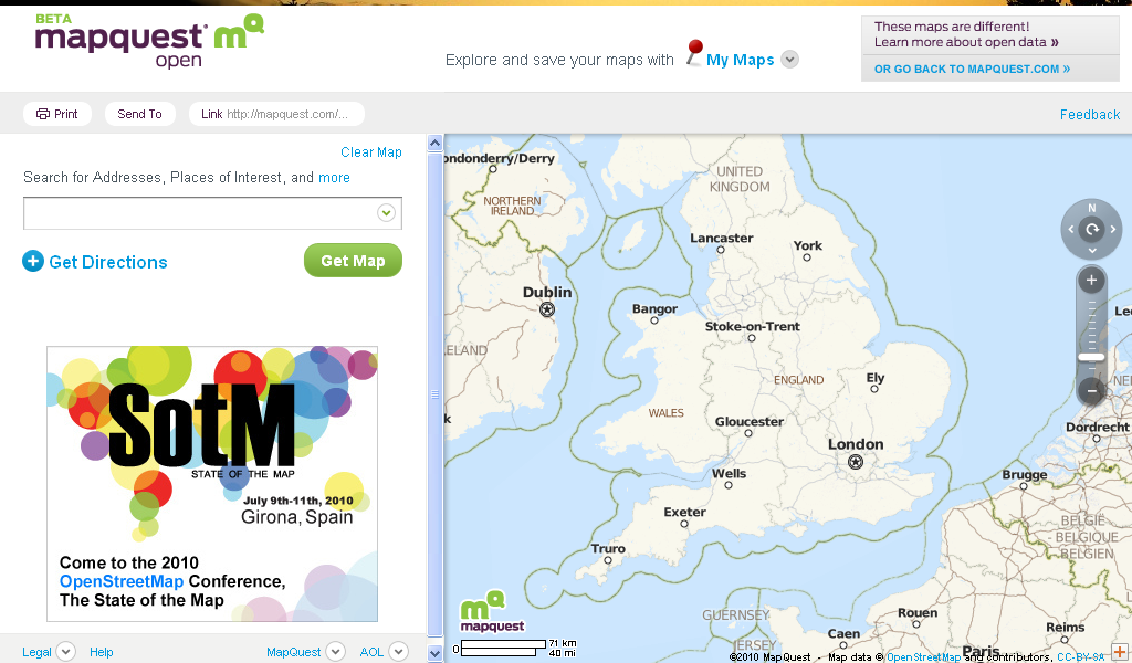
| 16:09, 13 July 2010 | MapQuest Open.PNG (file) |  |
253 KB | Screenview | 1 |
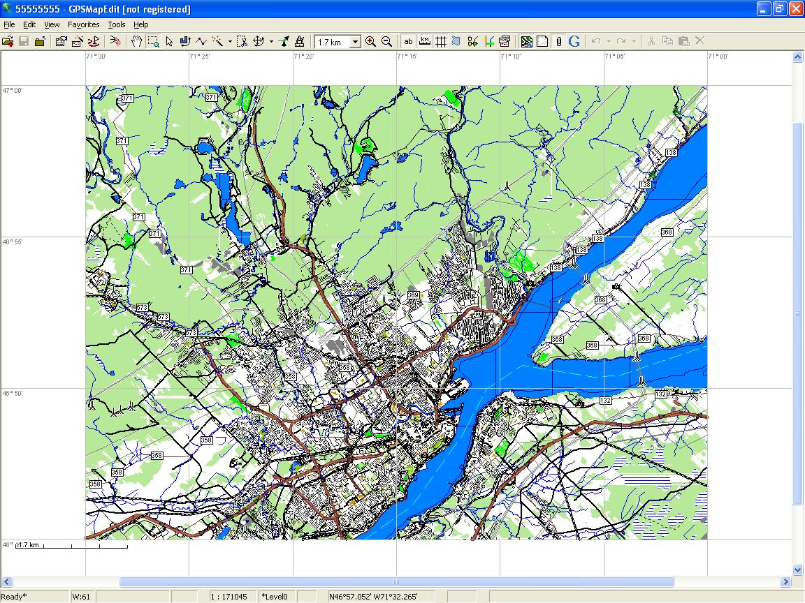
| 03:26, 30 June 2010 | NTS 011 Grid POI MapSource View.jpg (file) |  |
116 KB | 1 | |
| 06:14, 29 June 2010 | BCarea-mkgmap-routableOSM 22June2010 MapSource View.jpg (file) |  |
109 KB | 1 | |
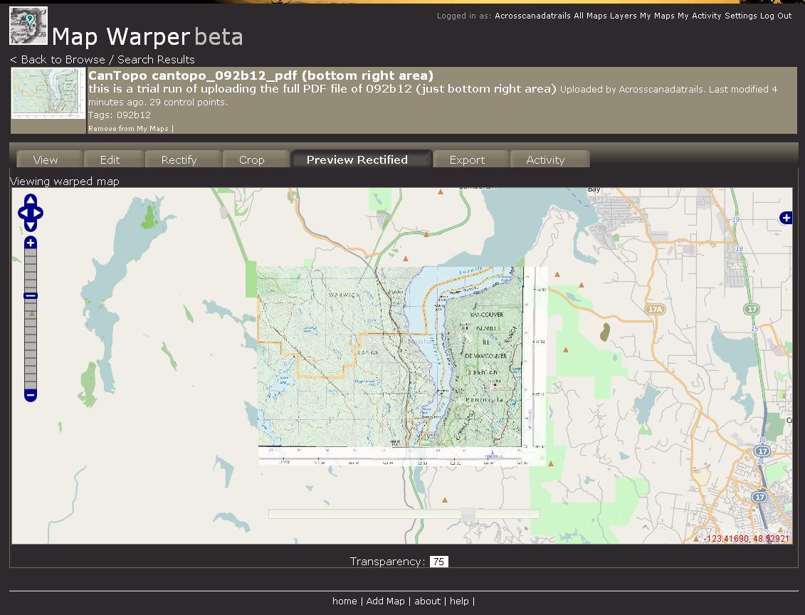
| 04:36, 23 June 2010 | Map Warper092b12 75percent.JPG (file) |  |
126 KB | Map Warper Example | 1 |
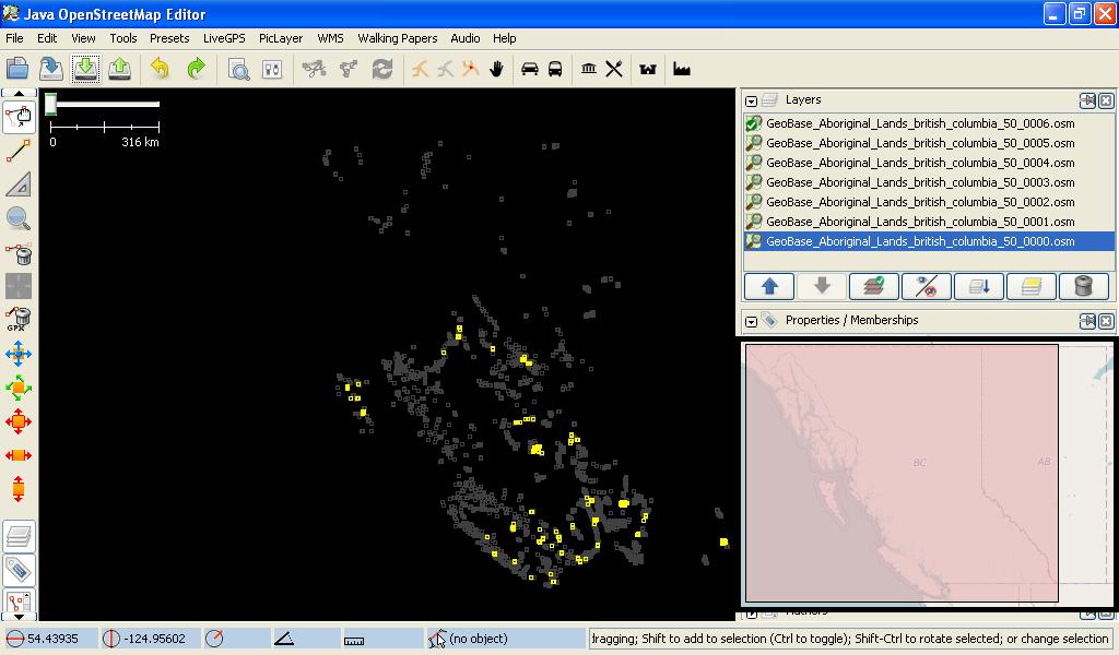
| 14:26, 15 April 2010 | Aboriginal lands British Columbia JOSM.jpg (file) |  |
89 KB | 1 | |
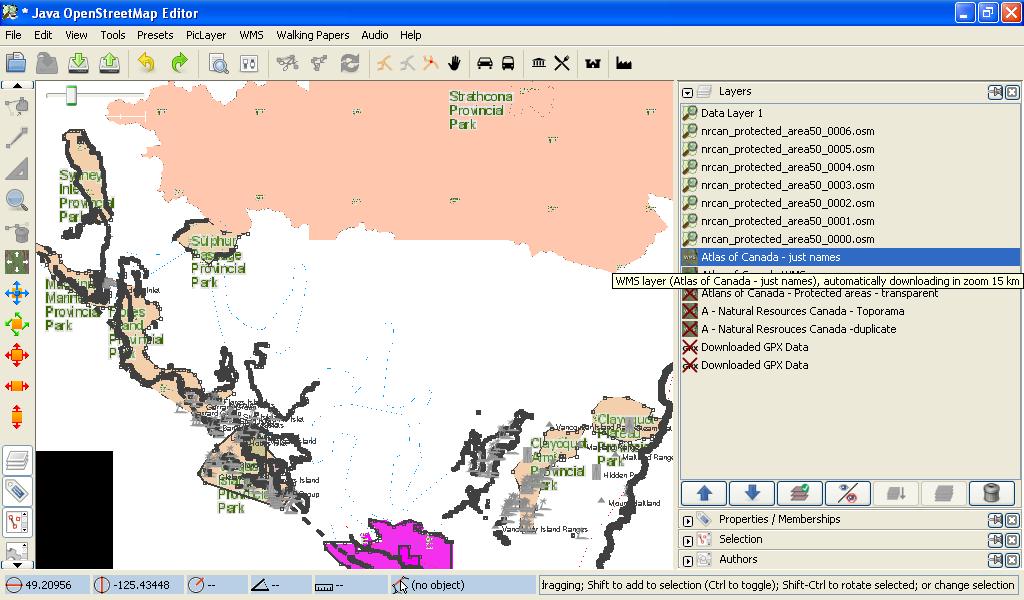
| 09:28, 7 April 2010 | Nrcanprotected areas atlas canada.jpg (file) |  |
118 KB | Of the Pacific Rim National park area on Vancouver Island, BC, Canada, Earth | 1 |
| 18:10, 7 March 2010 | Corine Import System Example.jpg (file) |  |
141 KB | 1 | |
| 12:25, 5 March 2010 | Aboriginal lands sample.jpg (file) |  |
9 KB | a sample of aboriginal_lands on mapnik at admin_level=3 | 1 |
| 17:31, 22 February 2010 | JOSM OSM CanMatrix TopoRama mix.jpg (file) |  |
164 KB | When using both sources, you can get a better idea of the map features around. Knowing that TopoRama might be off by 20 meters. | 1 |
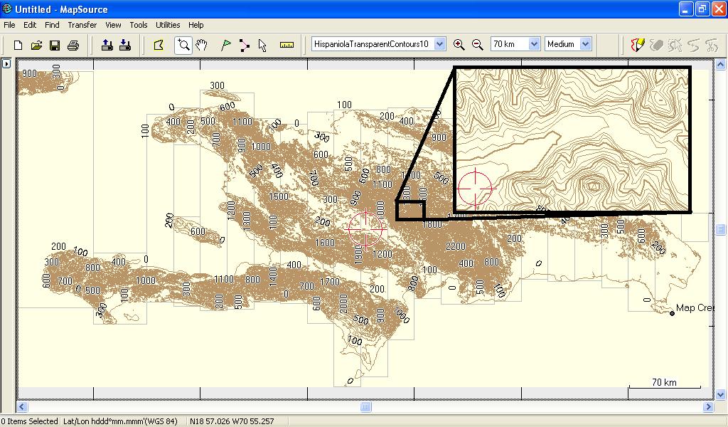
| 18:19, 30 January 2010 | HispaniolaTransparentContours10 garmin mapsource view.jpg (file) | 147 KB | This Transparent Map can be used on a Garmin GPS with any OSM garmin maps | 1 | |
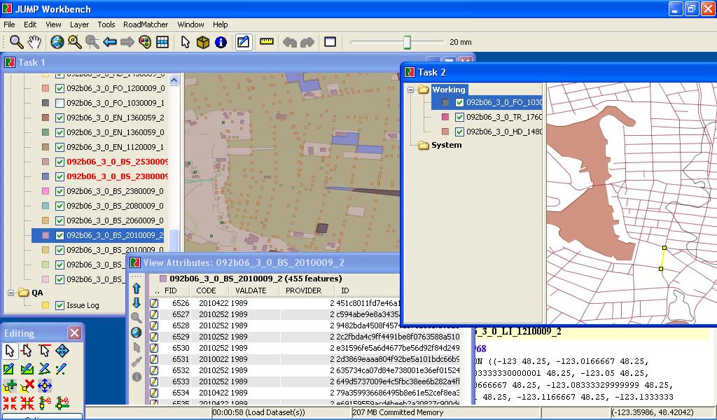
| 03:33, 31 July 2009 | Cavec import status.jpg (file) |  |
56 KB | Updated status of area | 2 |
| 17:48, 27 July 2009 | GeobaseNHN sample area.jpg (file) |  |
26 KB | Added the sample area showing how the flow pattern works | 1 |
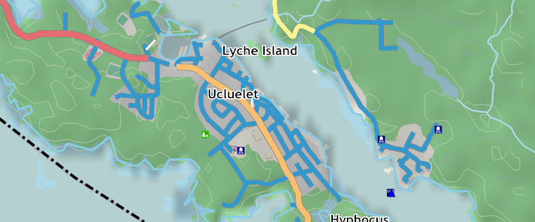
| 08:14, 2 June 2009 | Uclelet rendered map.png (file) |  |
215 KB | This is the sample area where data was imported from CanVec data, and the roads from GeoBase NRN data. | 1 |
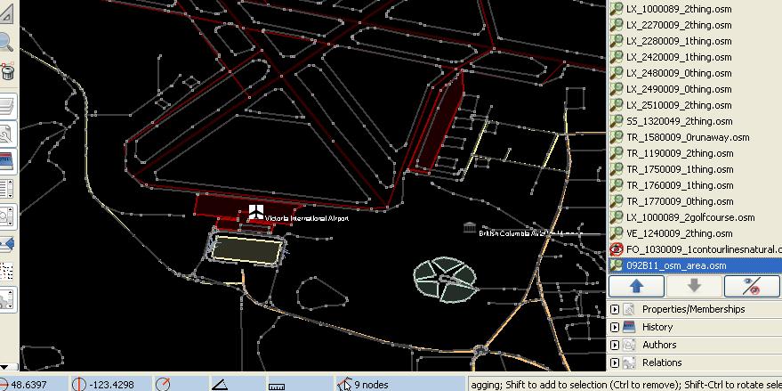
| 09:41, 25 February 2009 | Victoria airport canvec.jpg (file) |  |
81 KB | CanVec data view of Victoria,BC airport area, will all the features. | 1 |
| 23:40, 18 February 2009 | CanVec Victoria compair building roads.jpg (file) |  |
151 KB | Victoria, BC to show how CanVec map details could be converted to OSM | 1 |
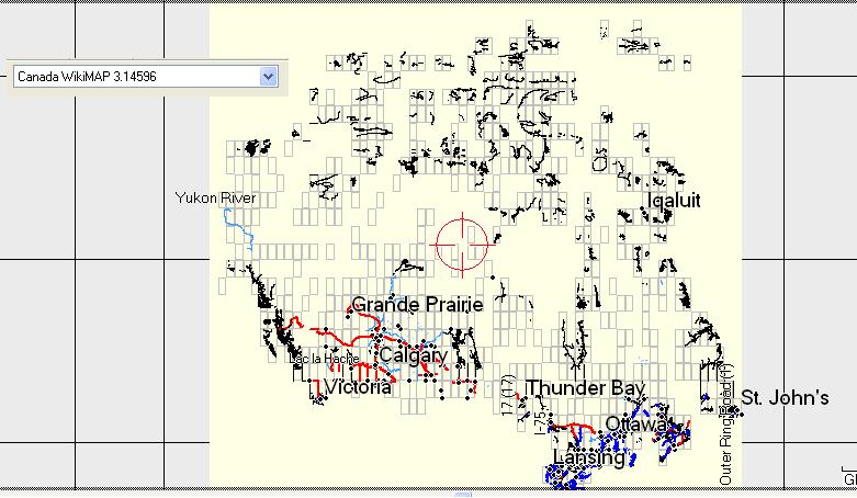
| 22:18, 23 September 2008 | Canadawikimap31496.jpg (file) |  |
68 KB | Canada WikiMAP 3.14596 all of OSM Data (on request i can make different maps as people like) :) | 1 |
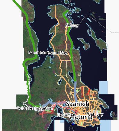
| 06:42, 25 July 2008 | Greater Victoria Area map 24 july 08.jpg (file) |  |
35 KB | Using Kosmos software and showing the landsat image, this is what has been mapped so far. | 1 |
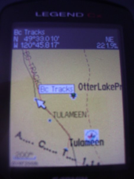
| 18:55, 22 June 2008 | GPSMapOnGarmin.jpg (file) |  |
28 KB | This is what both GPS Maps look like, along with the POI files on the Garmin eTrex Legend Cx | 1 |