Uploads by Aharvey
Jump to navigation
Jump to search
This special page shows all uploaded files.
| Date | Name | Thumbnail | Size | Description | Versions |
|---|---|---|---|---|---|
| 10:47, 3 May 2023 | Land Tasmania Signed Waivers.pdf (file) |  |
1.33 MB | {{Information | description=CC BY Waivers for Land Tasmania data | source= | date= | author= | other_versions= }} | 1 |
| 03:54, 21 October 2022 | Play xylophone in a playground.jpeg (file) |  |
6.68 MB | {{Information | description= | source= | date= | author=Andrew Harvey | permission=CC0 | other_versions= }} | 1 |
| 00:26, 17 October 2022 | Musical drums in a playground.jpeg (file) |  |
5.19 MB | {{Information | description=Musical drums in a playground | source= | date= | author=Andrew Harvey | permission=CC0 | other_versions= }} | 1 |
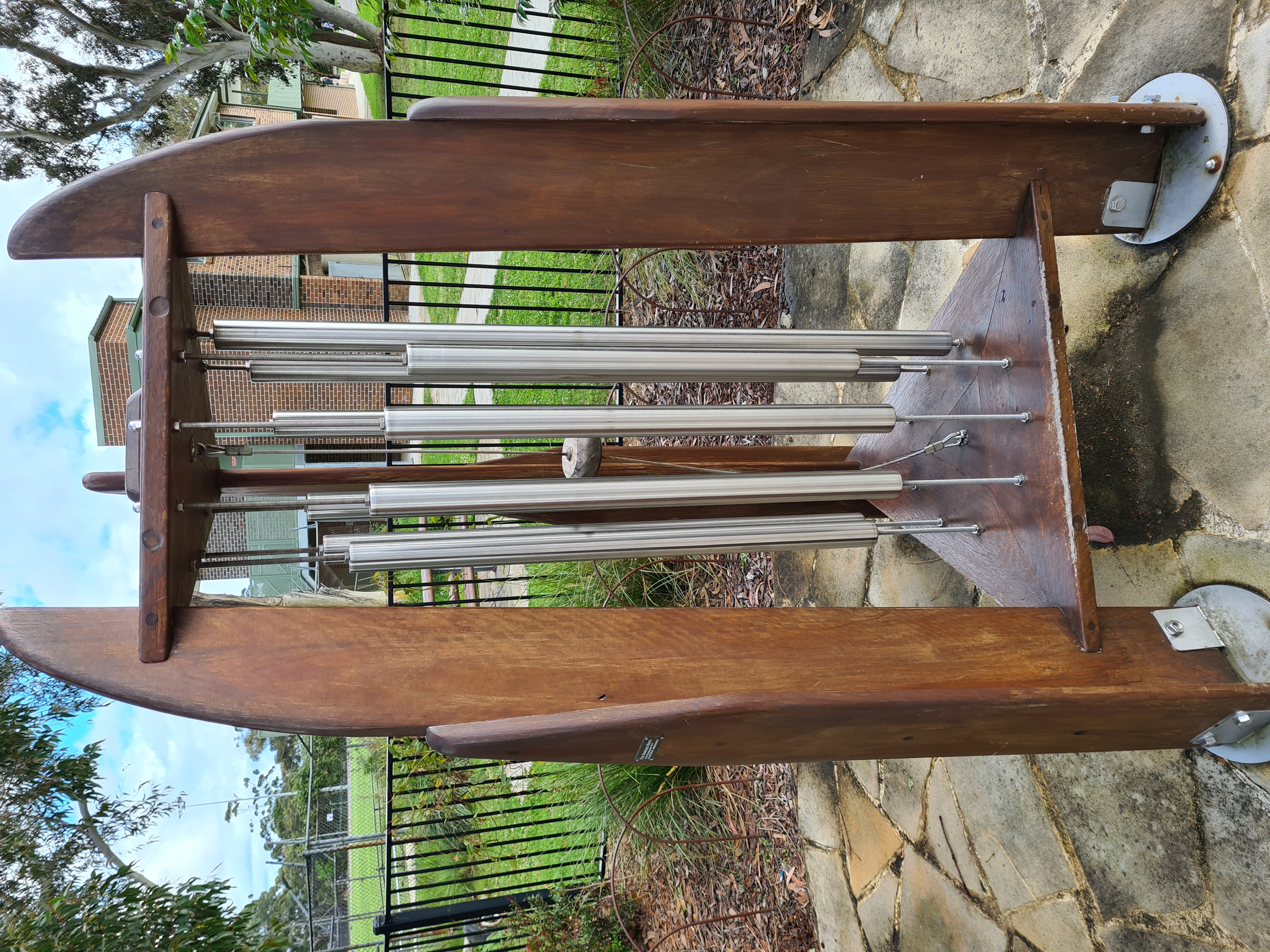
| 00:22, 17 October 2022 | Playground chimes.jpeg (file) |  |
4.4 MB | {{Information | description=Musical chimes in a playground for children to play | source= | date= | author=Andrew Harvey | permission=CC0 | other_versions= }} | 1 |
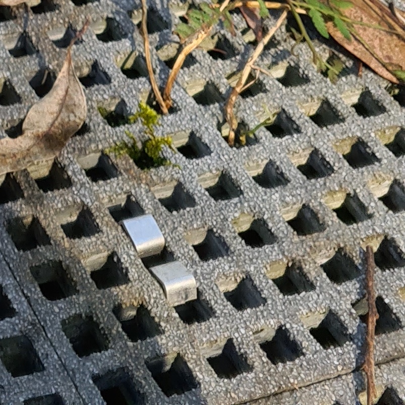
| 00:15, 18 July 2022 | Fibre reinforced polymer grate suface.jpg (file) |  |
281 KB | 1 | |
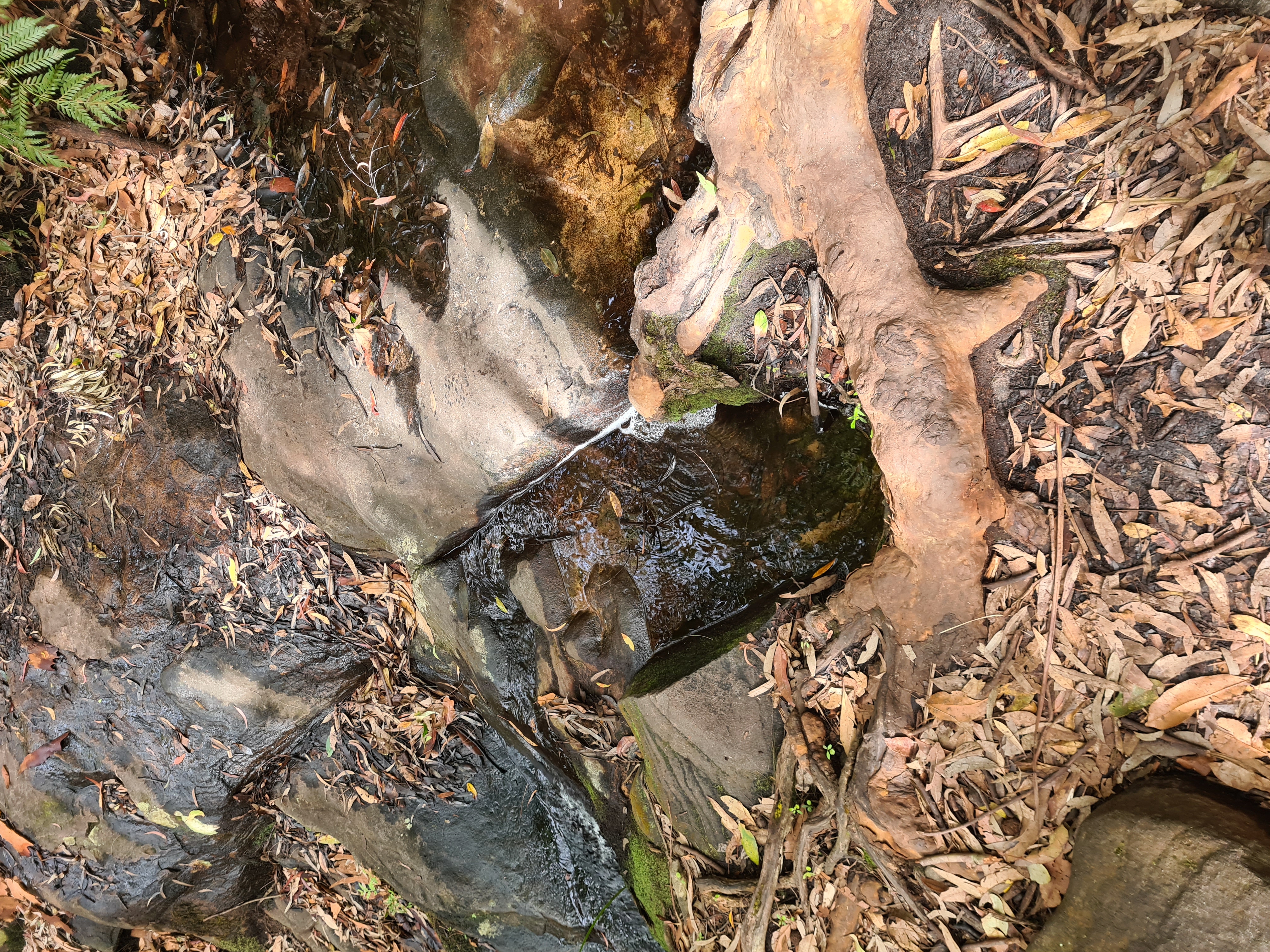
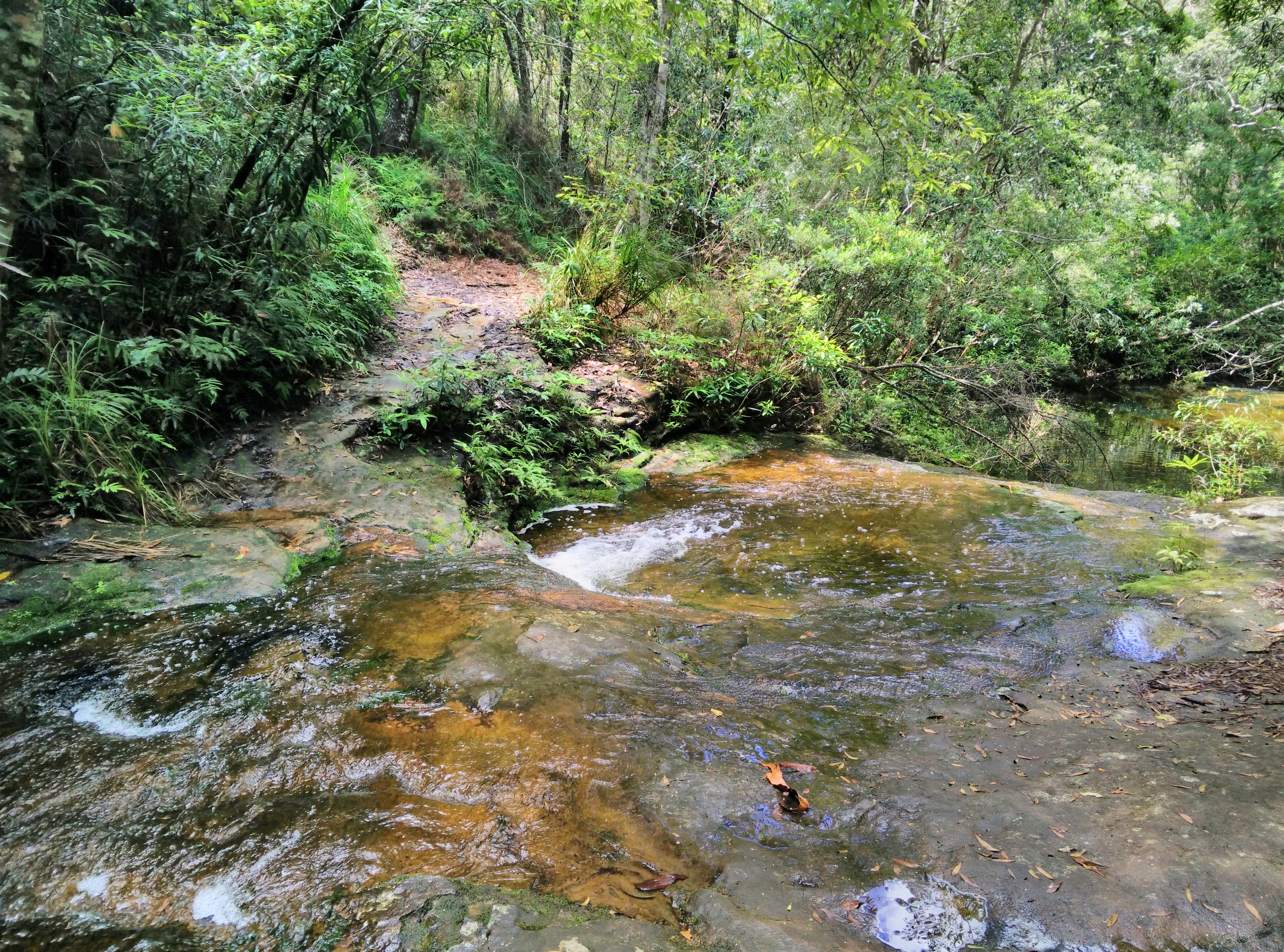
| 05:45, 13 February 2022 | Walking track passing a creek suitable to step over.jpeg (file) |  |
5.5 MB | Walking track passing a creek suitable to step over | 1 |
| 04:30, 27 January 2022 | Sample River Crossing Icons.svg (file) | 28 KB | Derived from Public Domain SJJB Icon assets | 1 | |
| 04:02, 27 January 2022 | Wet soles creek crossing.jpg (file) |  |
6.39 MB | 1 | |
| 23:17, 26 January 2022 | Yadboro River crossing at The Castle Walking Track.jpg (file) |  |
5.42 MB | 1 | |
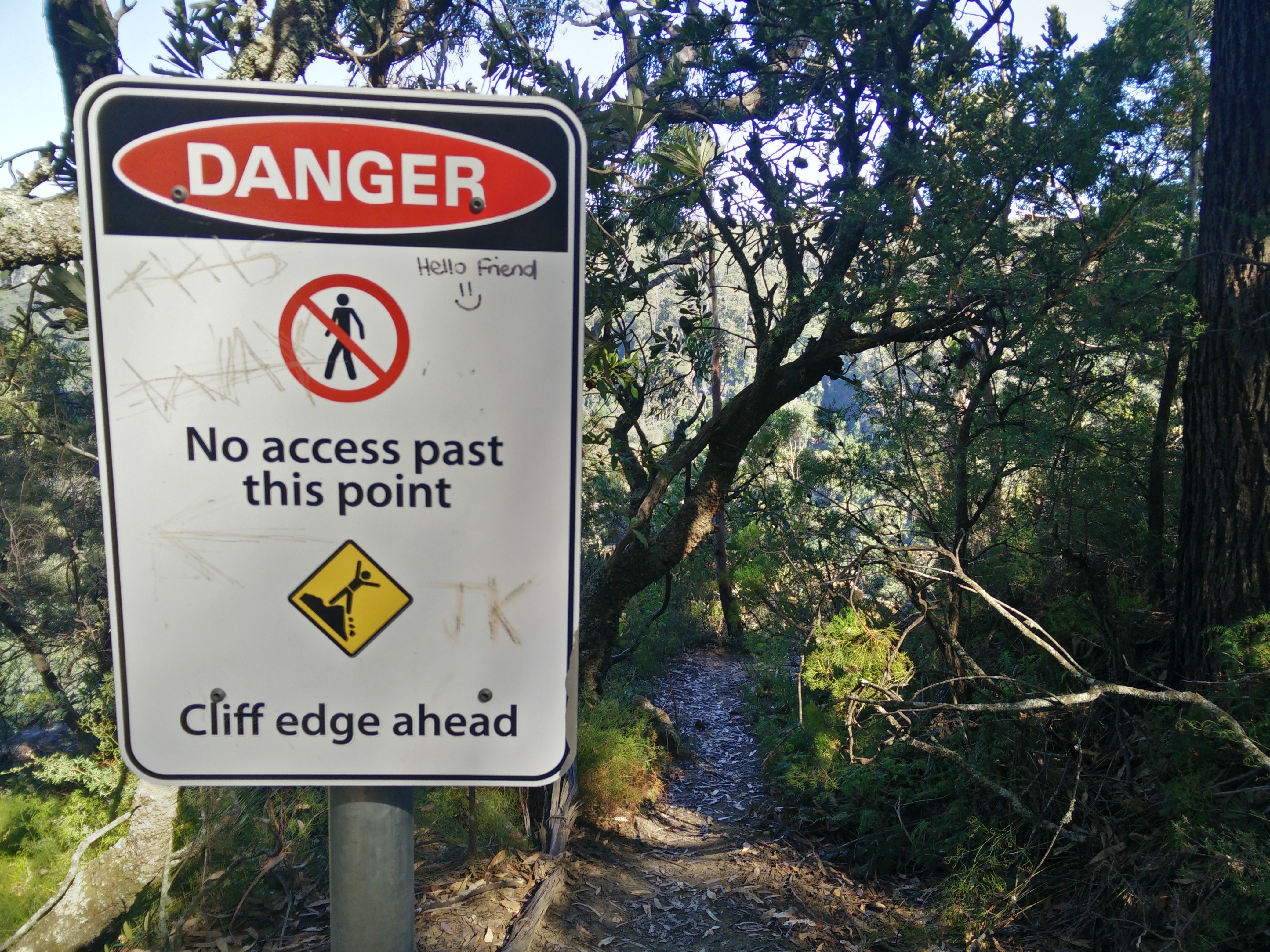
| 02:57, 25 January 2022 | Closed walking track.jpg (file) |  |
4.39 MB | 1 | |
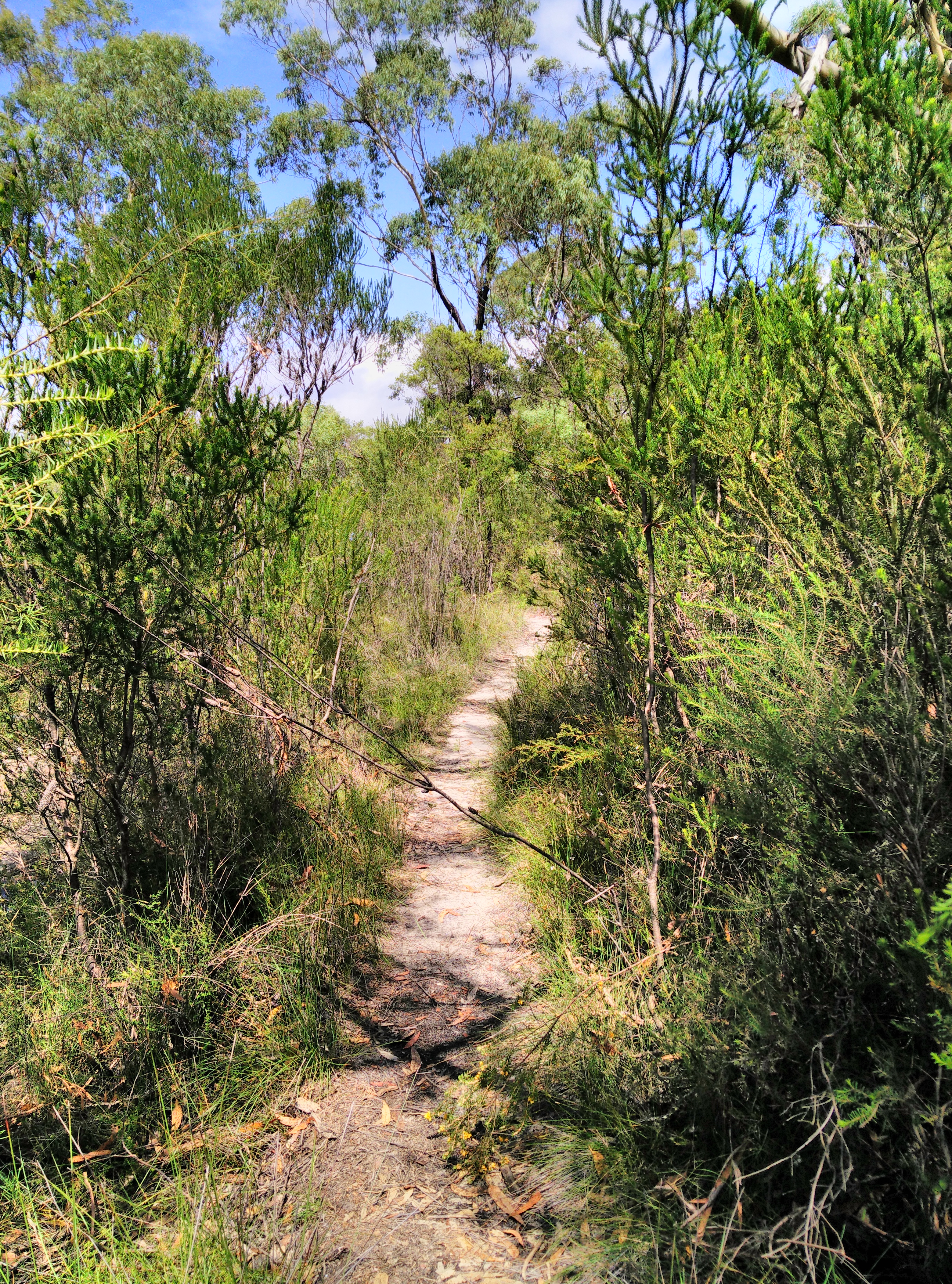
| 02:53, 25 January 2022 | Worn walking track without evidence of track construction.jpg (file) |  |
8.39 MB | 1 | |
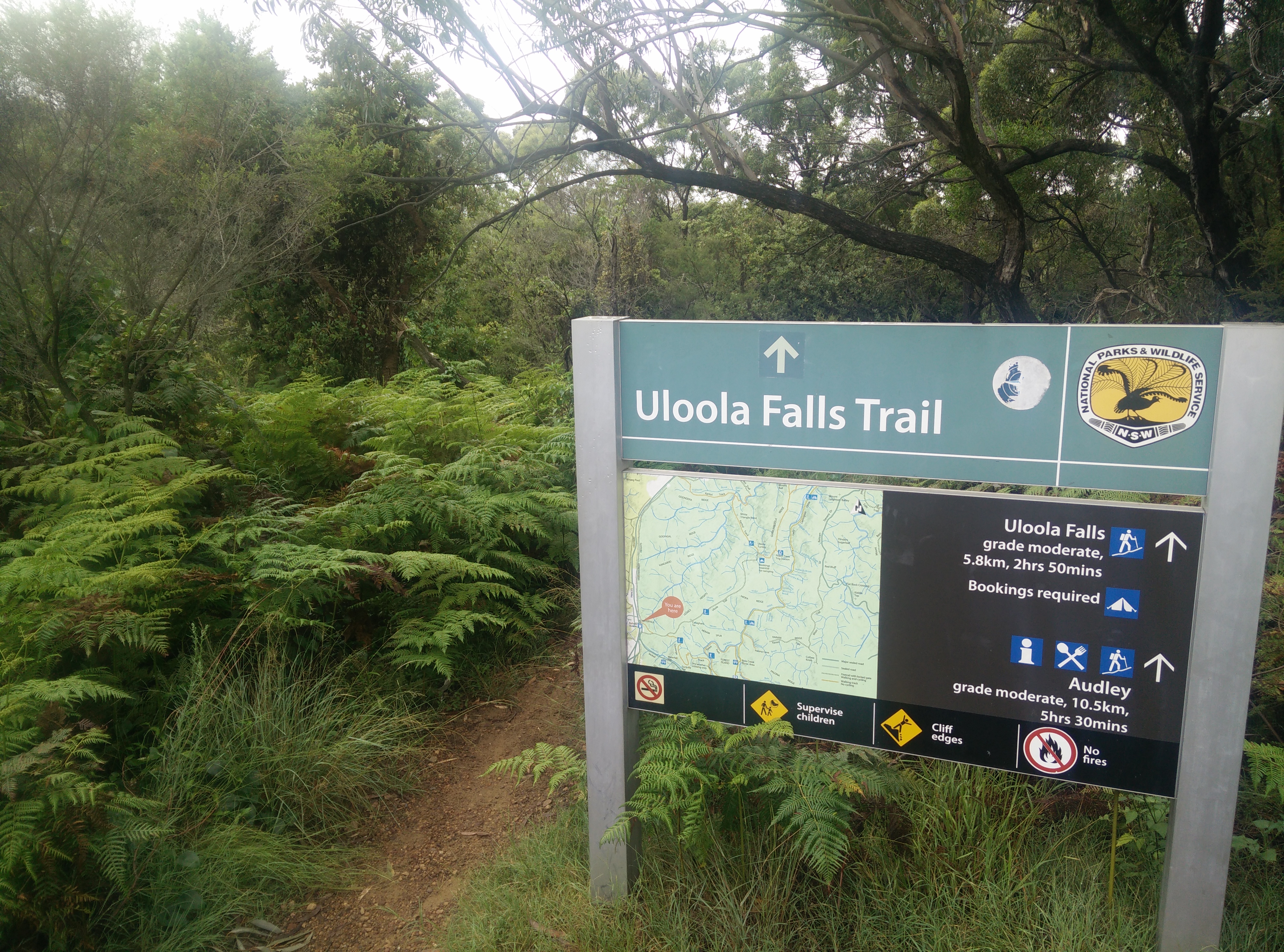
| 02:49, 25 January 2022 | Uloola Falls Trailhead Sign.jpg (file) |  |
5.3 MB | 1 | |
| 02:44, 25 January 2022 | Maintenance track accessible by foot.jpeg (file) |  |
5.67 MB | A maintenance track for use by authorised vehicles only, with walking permitted | 1 |
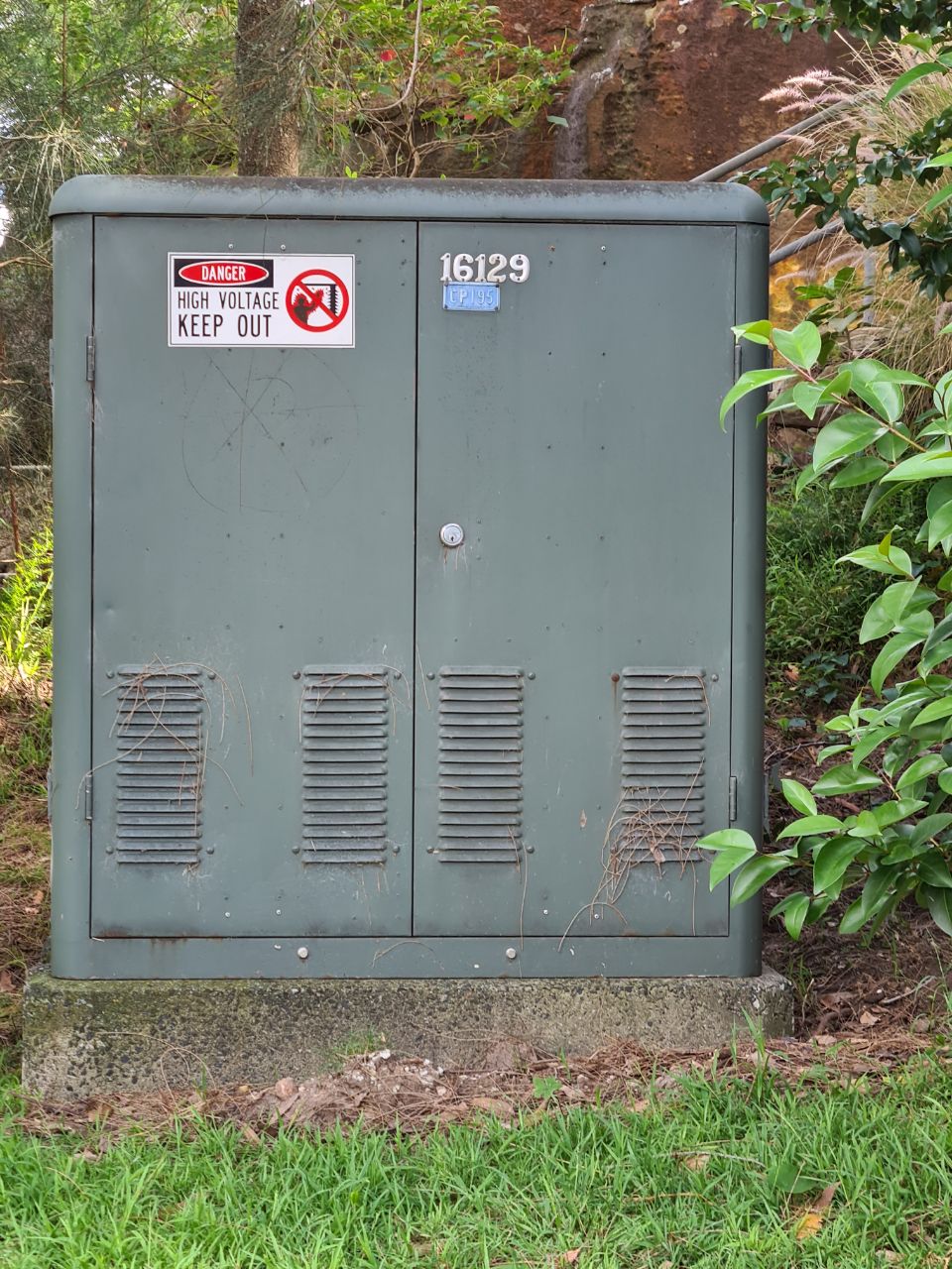
| 01:27, 26 December 2021 | Australian Green Transformer Box Street Cabinet.jpeg (file) | 281 KB | Australian Green Transformer Box Street Cabinet | 1 | |
| 01:12, 26 December 2021 | NSW Community Fire Unit Fixed Container.jpeg (file) |  |
84 KB | Australian NSW Community Fire Unit Fixed Container | 1 |
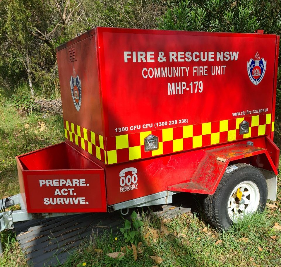
| 23:57, 25 December 2021 | Fire and Rescue NSW Community Fire Unit Trailer.jpeg (file) |  |
324 KB | An Australian Fire & Rescue NSW Community Fire Unit Trailer | 1 |
| 01:00, 19 October 2021 | Geoscape OpenStreetMap waiver 2021 Signed.pdf (file) |  |
41 KB | Geoscape Administrative Boundaries for Australia CC BY waiver | 1 |
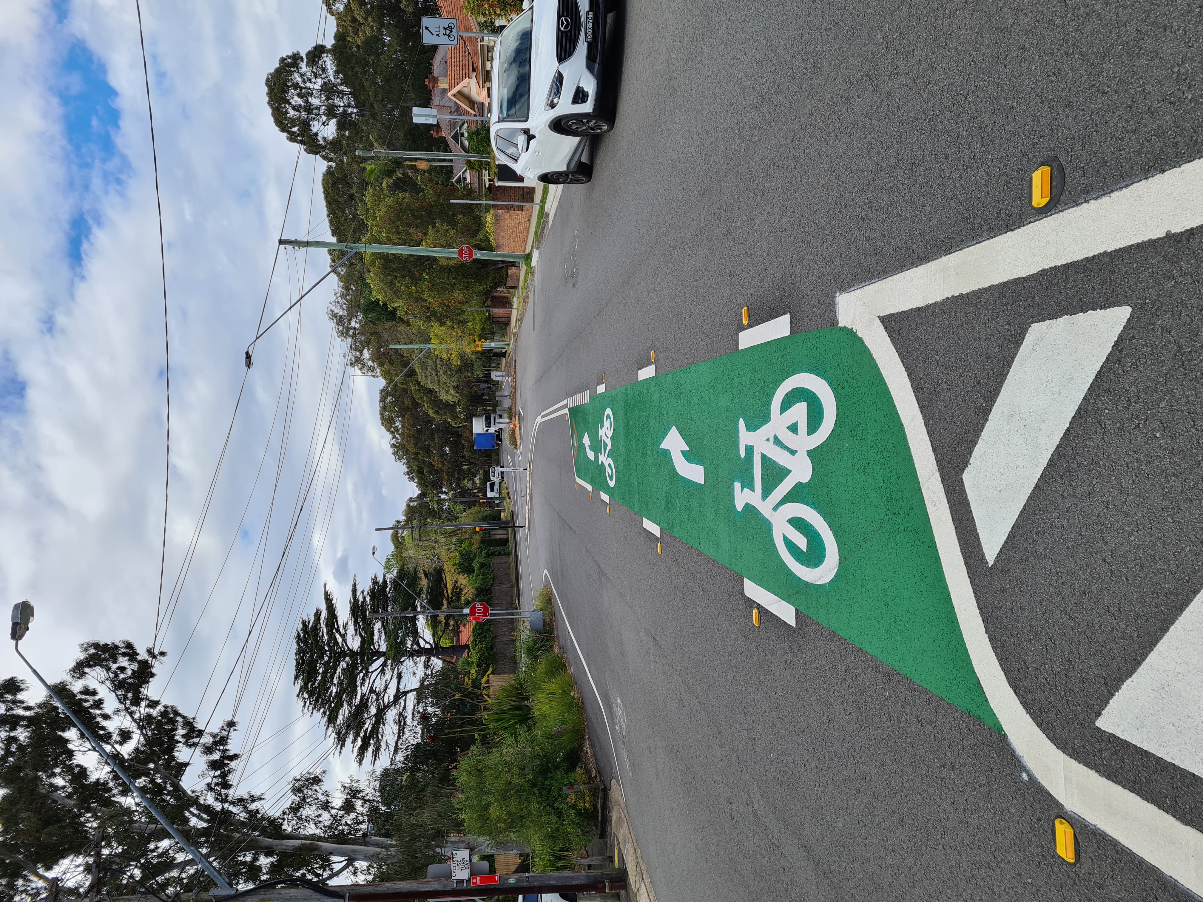
| 02:23, 21 September 2021 | Australian bicycle turn lane in the middle of a road.jpg (file) |  |
4.63 MB | 1 | |
| 00:06, 26 July 2021 | SpatialServices NSW OSM Waiver2 completed.pdf (file) |  |
147 KB | 1 | |
| 07:05, 5 November 2020 | AADC CC-BY Permission JK signed.pdf (file) | 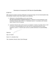 |
184 KB | Waiver originally sourced by https://wiki.openstreetmap.org/wiki/User:Breno-au | 1 |
| 04:09, 28 October 2020 | VPCM OpenStreetMap Approval.pdf (file) |  |
155 KB | Victorian Ports Corporation (Melbourne) (VPCM) CC BY waiver | 1 |
| 04:56, 27 October 2020 | OpenStreetMap Waiver 20201027 NEA AWsigned.pdf (file) |  |
347 KB | Nearmap OSM waiver for SSSI Mapathon | 1 |
| 11:09, 15 October 2020 | SpatialServices NSW OSM Waiver completed.pdf (file) |  |
124 KB | 1 | |
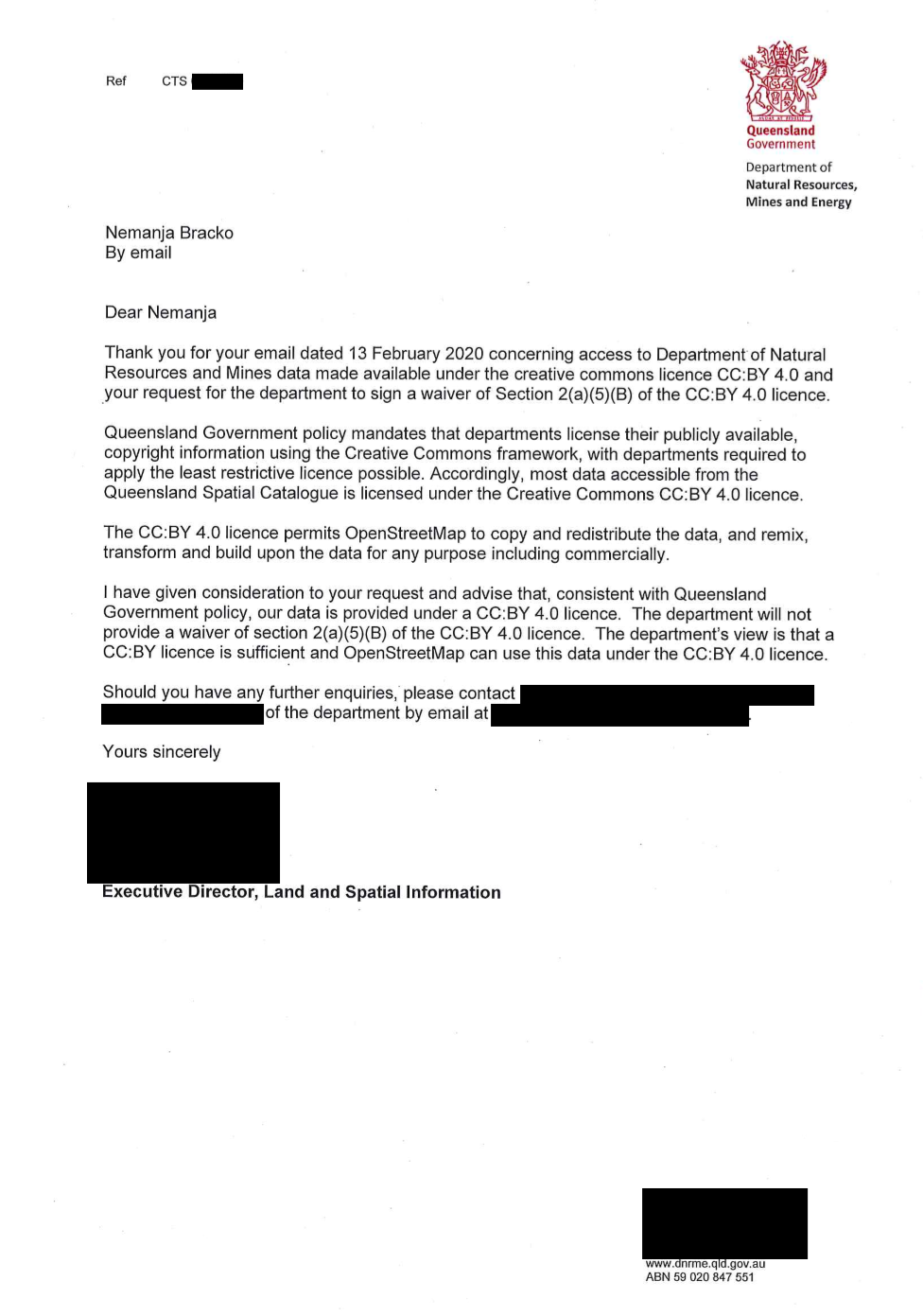
| 04:48, 21 July 2020 | QLD DNRM CCBY letter.png (file) |  |
333 KB | Originally from https://github.com/microsoft/Open-Maps/issues/49#issue-656373903, a letter from Dept of Natural Resources Mines and Energy, Queensland clarifying their stance on use of their CC BY 4.0 licensed data in OSM. Feedback from LWG was along the lines of this letter is the equivalent of a waiver and it demonstrates that: [Queensland Goverenment] do not believe there is incompatibility between CC-BY 4.0 and ODbL, and thus their data can be used for OSM. CC-BY is a contract between... | 1 |
| 10:12, 26 March 2020 | Beyondtracks-map.png (file) |  |
764 KB | 1 | |
| 03:53, 21 February 2020 | OpenStreetMap Waiver 21022020 NEA.pdf (file) |  |
230 KB | Permission to use Nearmap imagery during the SSSI Map-a-thon on the 9th of February 2020. | 1 |
| 03:39, 7 February 2020 | PlanetLabs SSFO-645-4 20020617490.pdf (file) |  |
71 KB | Planet Labs CC BY waiver for Planet Labs Weekly Basemaps from December 1, 2019 to January 31, 2020 of Australian fires. | 1 |
| 06:06, 5 February 2020 | OSM waiver AirborneResearchSouthAustralia.pdf (file) |  |
47 KB | 1 | |
| 05:31, 30 January 2020 | TfNSW OSM CCBY Signed Waiver.pdf (file) | 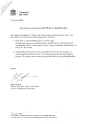 |
64 KB | 1 | |
| 22:01, 22 January 2020 | EnvironmentCanterbury AerialimagerywaiversfortracingforOpenStreetMap.pdf (file) |  |
70 KB | 1 | |
| 00:44, 4 December 2019 | AU Noosa CCBY Waiver.pdf (file) |  |
136 KB | Noosa, Australia completed CC BY waiver | 1 |
| 08:19, 11 November 2019 | AU-NSW-LocalTrafficOnly.jpg (file) |  |
7 KB | AU, NSW, Local Traffic Only Sign https://www.mapillary.com/map/im/FkY8gmlGX2NmhUARyveMQw | 1 |
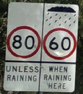
| 08:03, 28 September 2019 | Maxspeed-wet.png (file) |  |
117 KB | Australia, New South Wales speed limit road sign with wet and dry conditional speeds. | 1 |
| 08:39, 23 September 2019 | AU NSW no left turn conditional length.png (file) |  |
43 KB | Australia, NSW, no left turn for vehicles over 6m | 1 |
| 01:13, 31 July 2019 | CityOfLaunceston CCBY+ImageryWaiver.pdf (file) |  |
329 KB | City of Launceston, Tasmania, Australia Aerial imagery tracing waiver, CC BY open data waiver. http://launceston.maps.arcgis.com/home/index.html | 1 |
| 12:03, 29 November 2018 | City of Melbourne OSMF CCBY waiver.pdf (file) |  |
142 KB | 1 | |
| 01:55, 15 November 2018 | AU QLD TMR 2018-11-13 OSM Permission.pdf (file) |  |
66 KB | CC BY waiver for AU-QLD, Transport and Main Roads, State controlled roads survey centerline | 1 |
| 00:23, 10 September 2018 | BCC OSM Waiver - Signed 30Aug2018.pdf (file) | 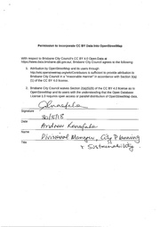 |
68 KB | Brisbane City Council open data https://www.data.brisbane.qld.gov.au/data/group/assets CC BY waiver. | 1 |
| 04:49, 31 August 2018 | Department of Industry Innovation and Science ODbl permission Administrative Boundaries.pdf (file) |  |
409 KB | OSMF CC BY waiver for PSMA Admin Boundaries | 1 |
| 05:35, 22 August 2018 | AustralianMarineParks OSM.pdf (file) |  |
69 KB | CC BY 4.0 waiver for Australian Marine Parks from Department of the Environment and Energy http://www.environment.gov.au/fed/catalog/search/resource/details.page?uuid=%7BCD8877F3-8C39-4A20-A53F-070FBEE5AF3C%7D | 1 |
| 08:22, 24 May 2018 | QPWS ProtectedAreas CC-BY3.0 OSM PermissionSigned.pdf (file) |  |
536 KB | OSMF CC BY 3.0 Waiver with slight modifications required by the copyright holder's legal review. No substantive changes made. | 1 |
| 02:43, 17 May 2018 | LINZ OSM-CC-4.0 waiver.pdf (file) |  |
397 KB | 1 | |
| 00:55, 11 May 2018 | GeoscienceAustralia CCBY Waiver EmailAcceptance.pdf (file) |  |
194 KB | 1 | |
| 00:48, 11 May 2018 | CCBYPermission GeoscienceAustralia.pdf (file) |  |
23 KB | 1 | |
| 06:44, 19 April 2018 | CESE NSW AU MasterSchools.pdf (file) |  |
204 KB | CESE NSW MasterSchools CC BY 4.0 OSMF Waiver | 1 |
| 05:20, 13 April 2018 | OpenStreetMap OEH CCBYPermission.pdf (file) |  |
95 KB | http://data.environment.nsw.gov.au/ CC BY 4.0 OSMF Waiver | 1 |
| 02:28, 13 April 2018 | Data.sa.gov.au CCBYPermission Open Street Map.pdf (file) |  |
112 KB | data.sa.gov.au OSMF CC BY 4.0 Waiver | 1 |
| 22:46, 22 March 2018 | OSM CCBY Consent-MainRoadsWA.pdf (file) |  |
20 KB | Main Roads Western Australia CC BY 4.0 OSMF Waiver | 1 |
| 05:05, 19 March 2018 | CAPAD CCBY waiver.pdf (file) |  |
71 KB | Australian CAPAD dataset CC BY 4.0 OSMF Waiver https://wiki.openstreetmap.org/wiki/Contributors#Department_of_the_Environment_and_Energy | 1 |
| 07:39, 14 March 2018 | ACT Government 20180314 Permission to Incorporate CCBY data into OSM.PDF (file) |  |
16 KB | OSMF CC BY 4.0 Waiver to use ACT Government fundamental spatial data licensed under CCBY in OpenStreetMap as OBDL license. | 1 |