Uploads by Ben
Jump to navigation
Jump to search
This special page shows all uploaded files.
| Date | Name | Thumbnail | Size | Description | Versions |
|---|---|---|---|---|---|
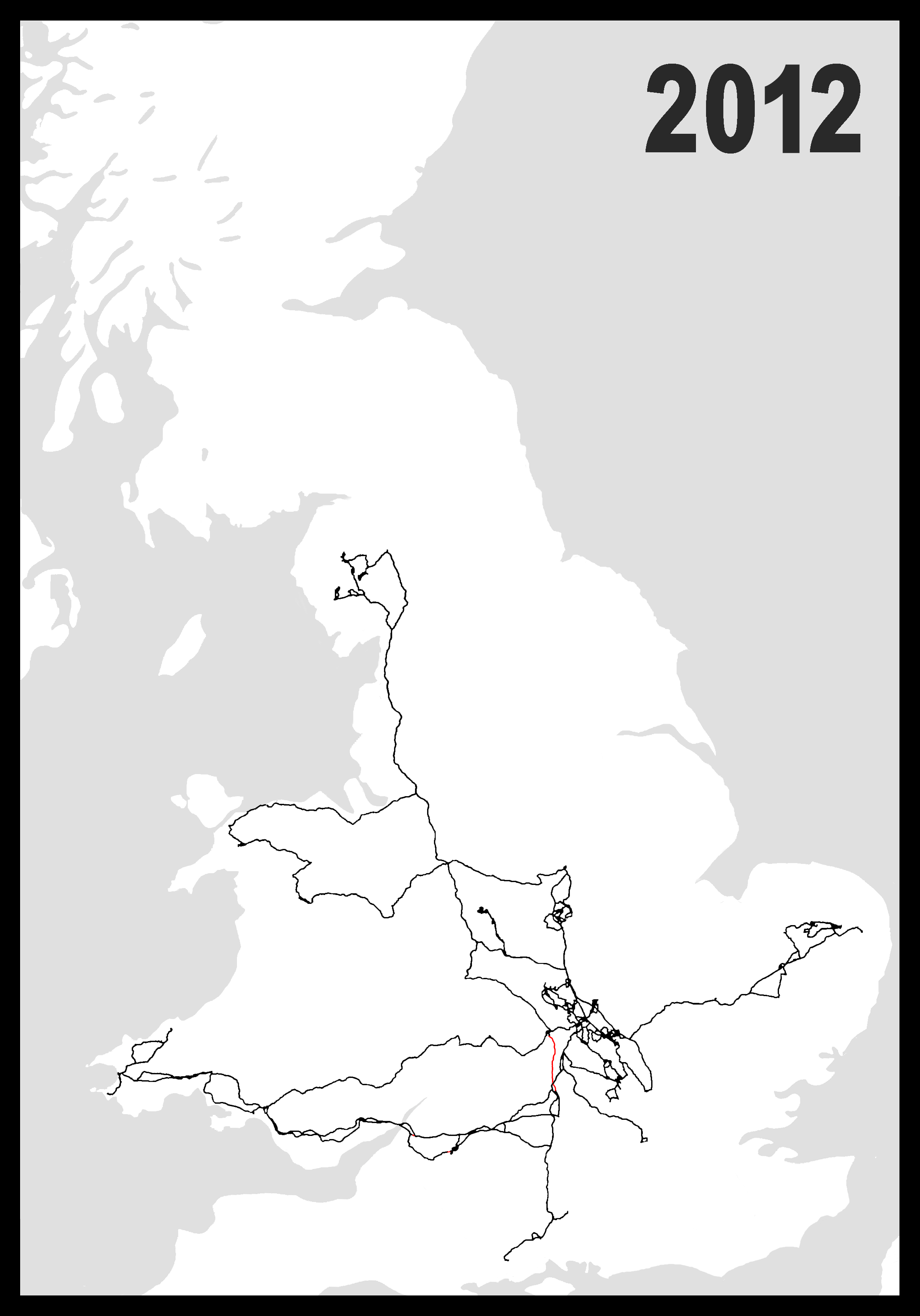
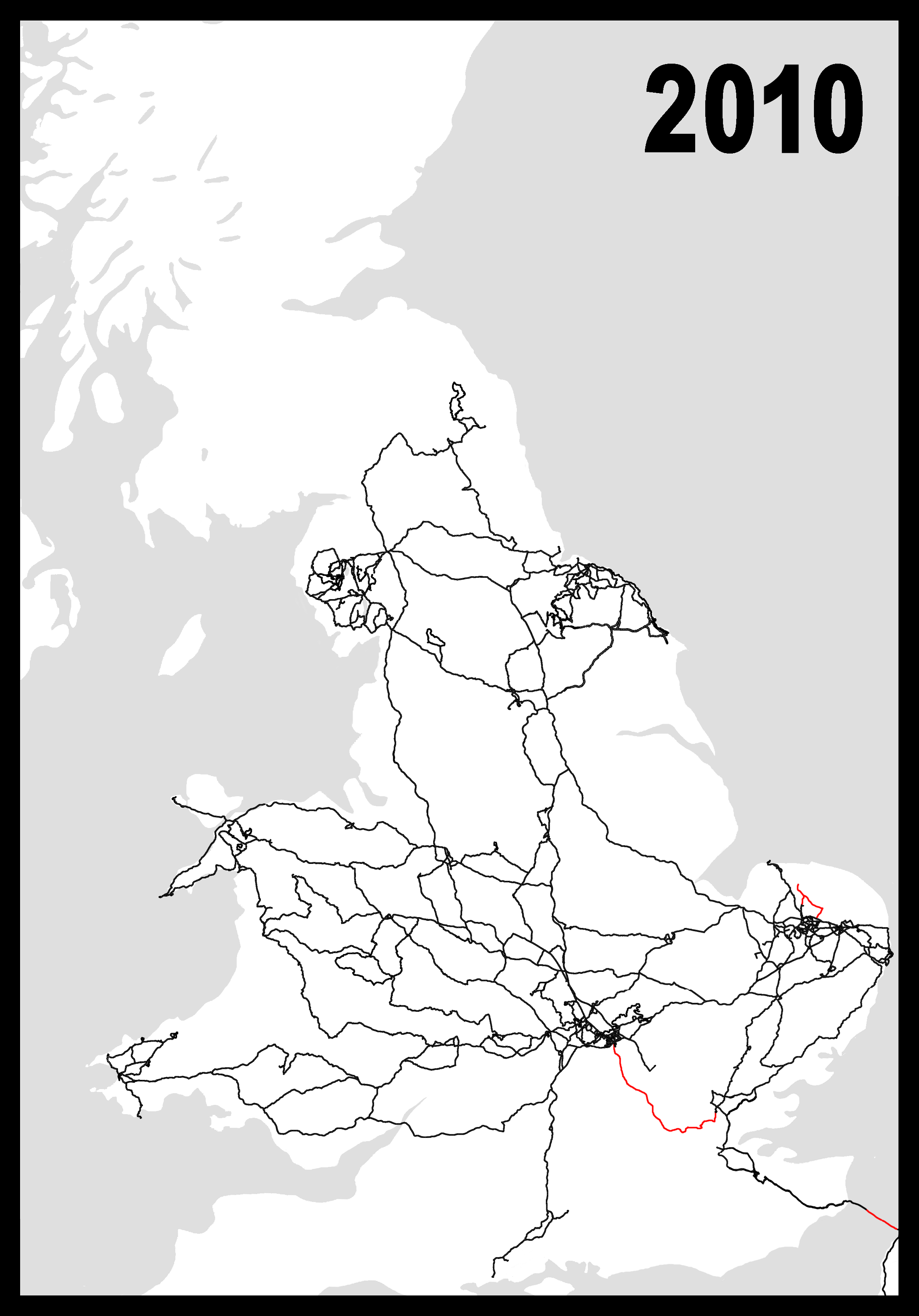
| 19:08, 1 January 2013 | GPS 2012.png (file) |  |
237 KB | 2 | |
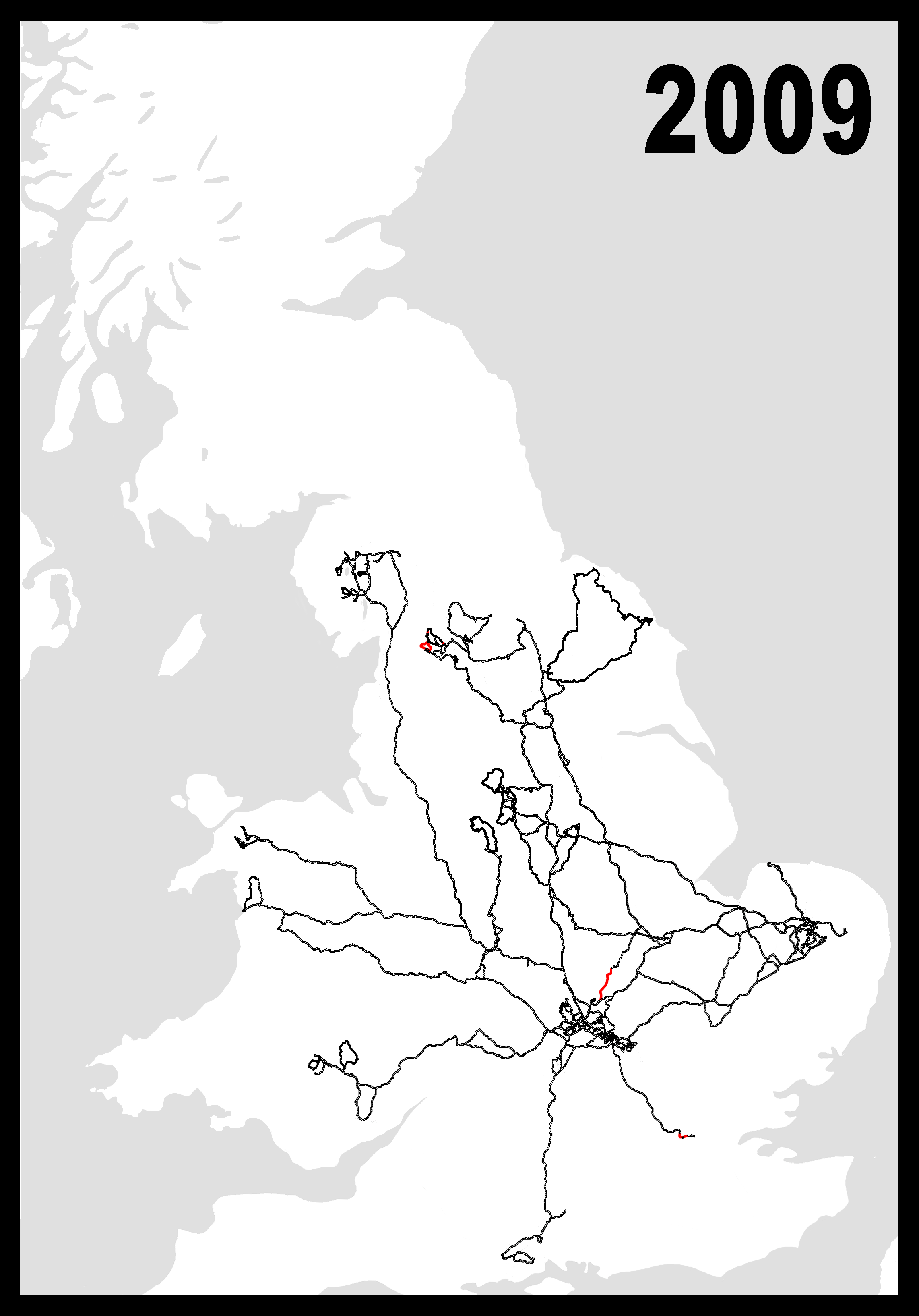
| 18:32, 1 January 2013 | GPS 2009.png (file) |  |
329 KB | 5 | |
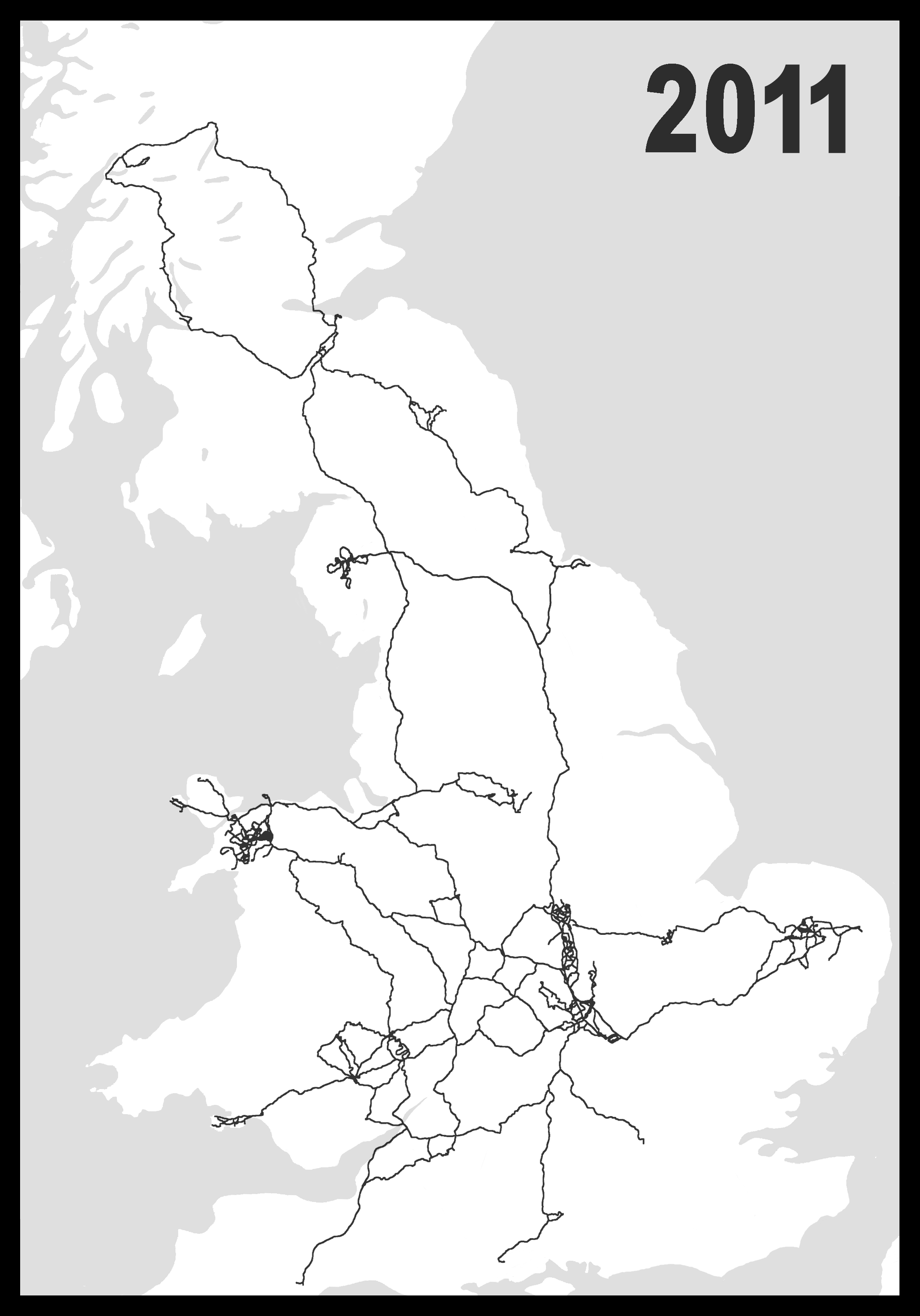
| 23:31, 13 May 2012 | GPS 2011.png (file) |  |
506 KB | 1 | |
| 04:46, 21 January 2012 | Z18crop.png (file) |  |
214 KB | 1 | |
| 04:15, 21 January 2012 | Comparison - Junction4.png (file) |  |
202 KB | 1 | |
| 04:15, 21 January 2012 | Comparison - Junction3.png (file) |  |
202 KB | 1 | |
| 04:14, 21 January 2012 | Comparison - Junction2.png (file) |  |
205 KB | 1 | |
| 04:14, 21 January 2012 | Comparison - Junction1.png (file) |  |
211 KB | 1 | |
| 07:06, 20 January 2012 | Core-Casing - Z18.png (file) |  |
1.25 MB | 1 | |
| 07:05, 20 January 2012 | Core-Casing - Z17.png (file) |  |
603 KB | 1 | |
| 07:04, 20 January 2012 | Core-Casing - Z16.png (file) |  |
250 KB | 1 | |
| 07:04, 20 January 2012 | Core-Casing - Z15.png (file) |  |
108 KB | 1 | |
| 07:04, 20 January 2012 | Core-Casing - Z14.png (file) |  |
52 KB | 1 | |
| 07:03, 20 January 2012 | Core-Casing - Z13.png (file) |  |
25 KB | 1 | |
| 07:02, 20 January 2012 | Difference in Core-Casing.PNG (file) |  |
39 KB | 1 | |
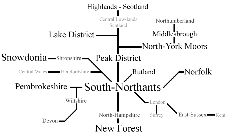
| 12:44, 11 May 2011 | User-Ben.- Places I've mapped.png (file) |  |
40 KB | Update | 2 |
| 11:24, 11 May 2011 | GPS 2010.png (file) |  |
700 KB | 1 | |
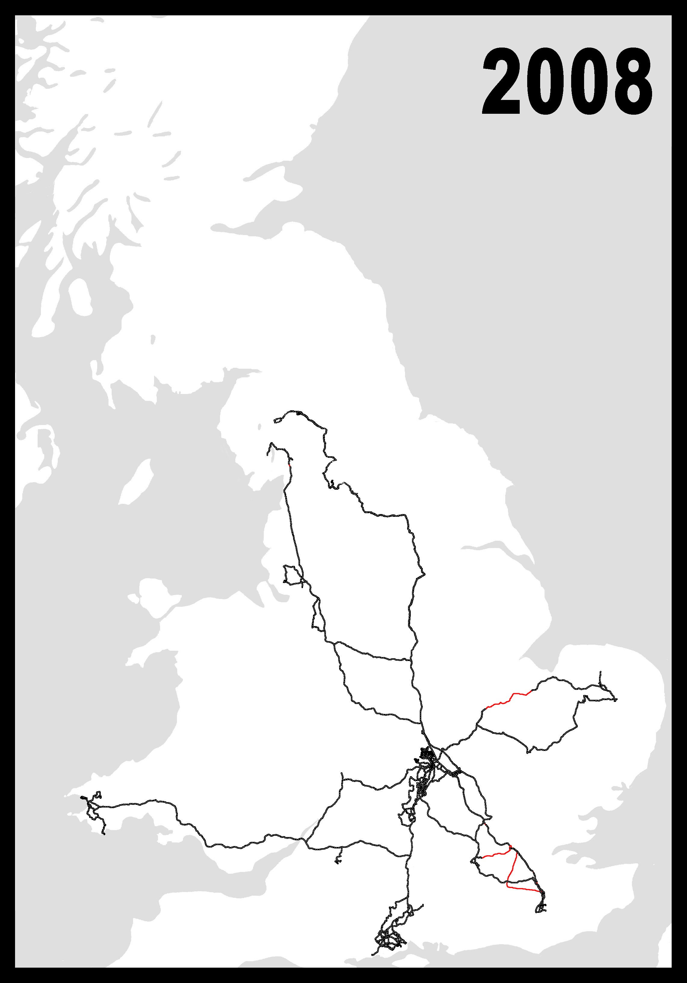
| 11:22, 11 May 2011 | GPS 2008.png (file) |  |
298 KB | 2 | |
| 11:21, 11 May 2011 | GPS 2007.png (file) |  |
403 KB | 3 | |
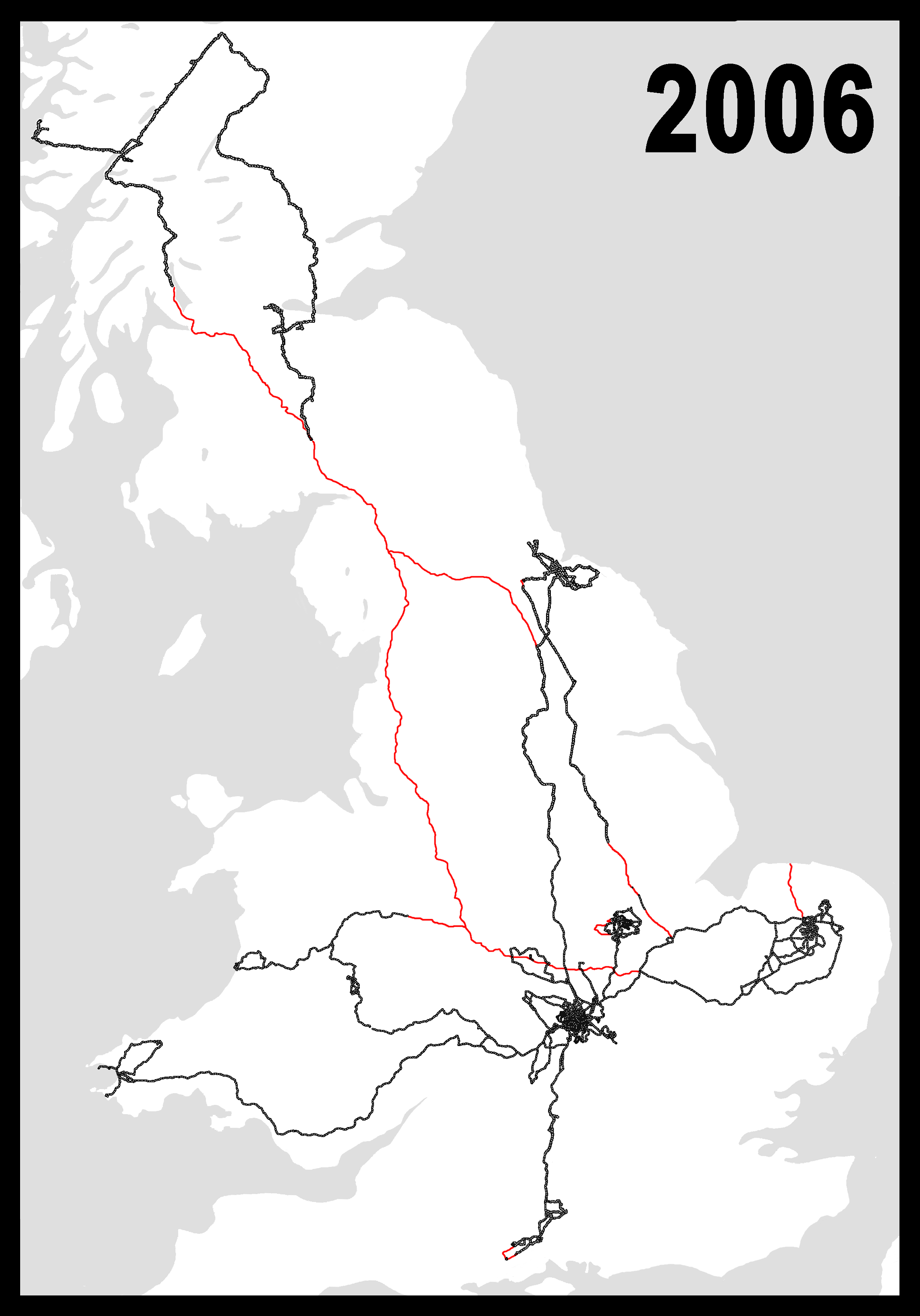
| 11:20, 11 May 2011 | Where I've Been in 2006.png (file) |  |
410 KB | 5 | |
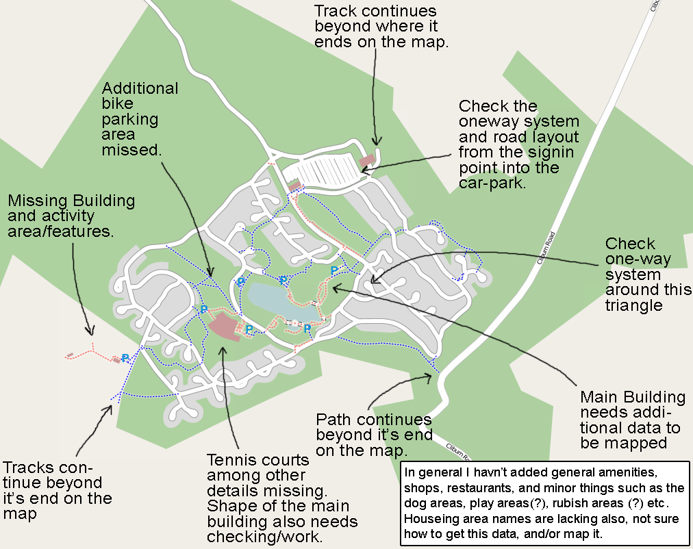
| 10:40, 13 February 2009 | Center parcs.png (file) |  |
204 KB | List of required data for 'Center Parcs - Whinfell Forest' http://www.openstreetmap.org/?lat=54.6361&lon=-2.65215&zoom=15&layers=B000FTF | 1 |
| 18:00, 10 February 2009 | Not looking at byways.PNG (file) |  |
201 KB | 1 | |
| 00:23, 30 January 2009 | Farmland.PNG (file) |  |
123 KB | 1 | |
| 19:38, 19 January 2009 | Natural-tree example.PNG (file) |  |
58 KB | 1 | |
| 19:35, 19 January 2009 | Tree z18.png (file) |  |
1 KB | 1 | |
| 19:29, 19 January 2009 | Selecting osmarender layer.png (file) |  |
28 KB | dito | 3 |
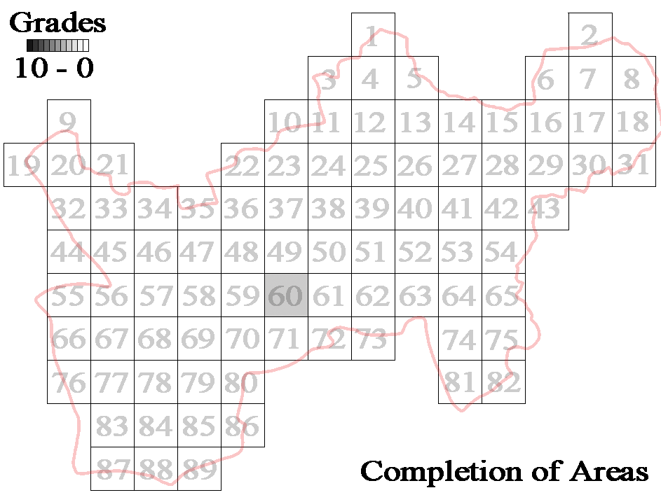
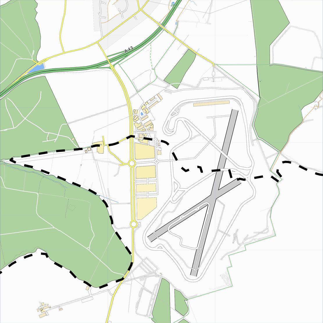
| 17:49, 6 January 2009 | Silverstone - To Do.png (file) |  |
854 KB | 3 | |
| 14:15, 6 January 2009 | Silverstone - z13.png (file) |  |
32 KB | 2 | |
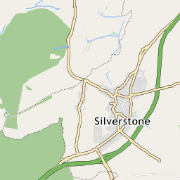
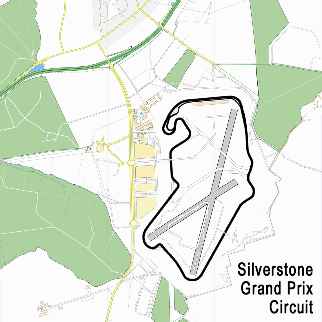
| 14:06, 6 January 2009 | Silverstone.png (file) |  |
1.22 MB | 2 | |
| 11:36, 6 January 2009 | Anarchy.png (file) |  |
1 KB | 2 | |
| 20:49, 28 December 2008 | Leicester.png (file) |  |
333 KB | 1 | |
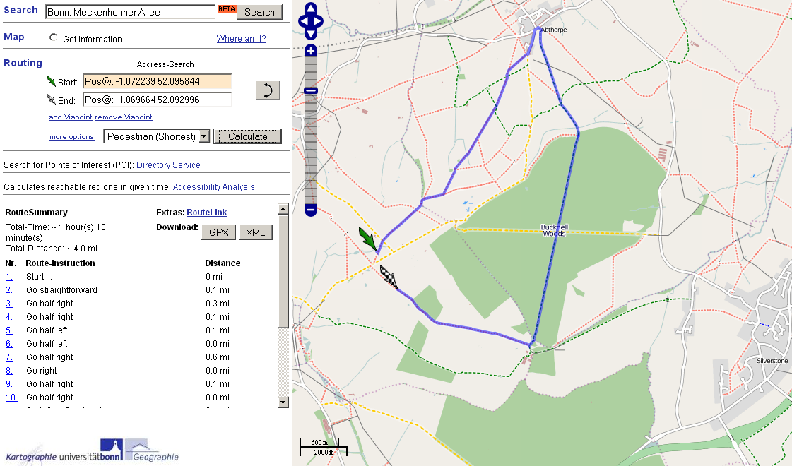
| 18:23, 28 December 2008 | Yournavigation Problem.PNG (file) |  |
226 KB | 1 | |
| 00:32, 15 December 2008 | South Wappenham - z13.png (file) |  |
18 KB | 1 | |
| 23:55, 14 December 2008 | South Northmaptonshire z13 tiles.PNG (file) |  |
61 KB | 1 | |
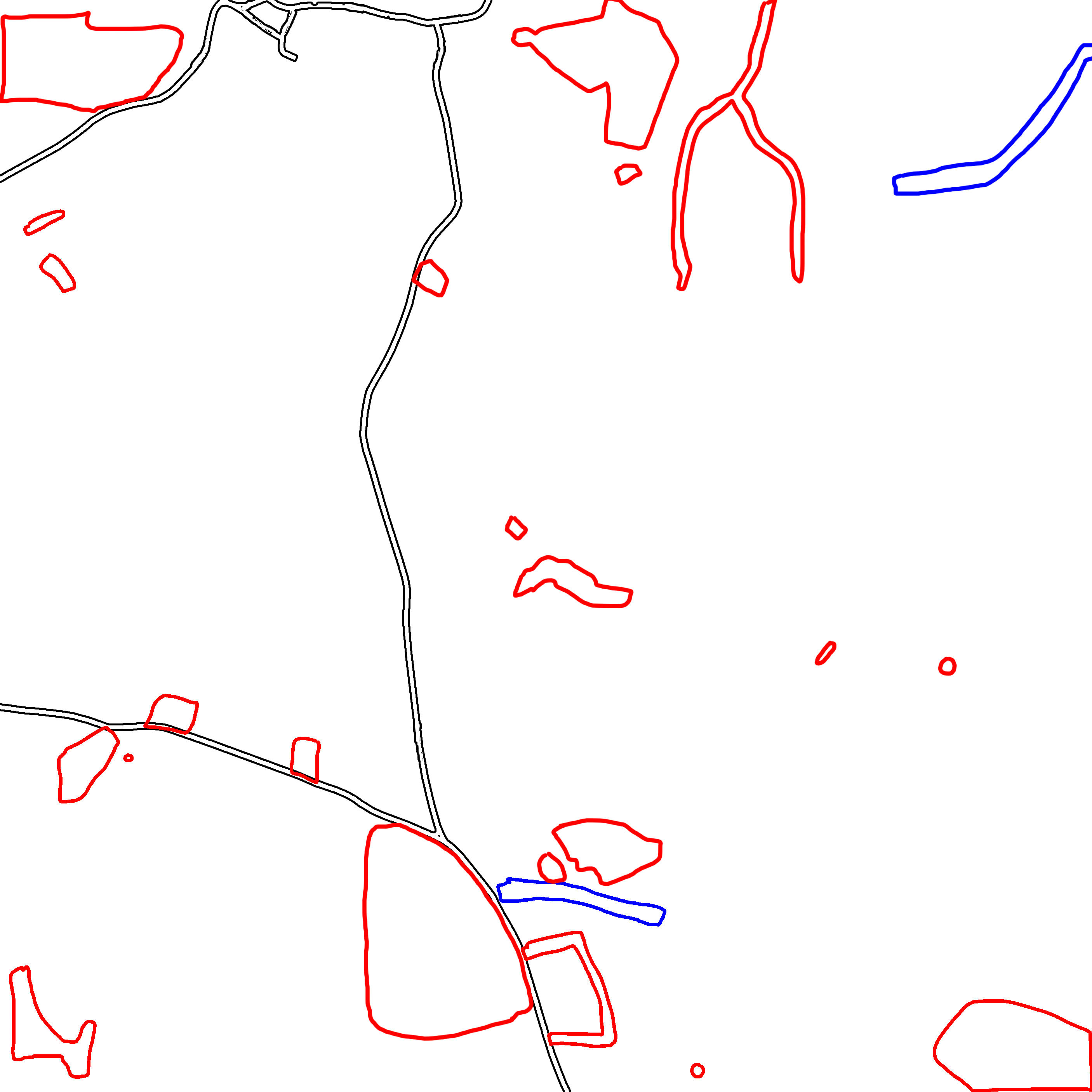
| 22:45, 14 December 2008 | South Wappenham - To Do.png (file) |  |
449 KB | 3 | |
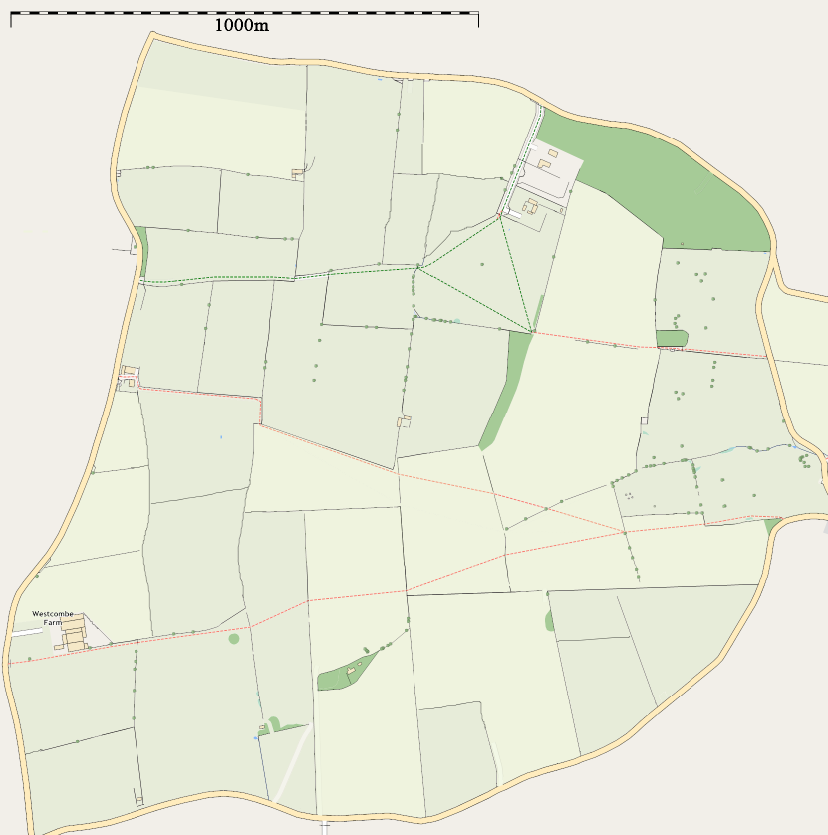
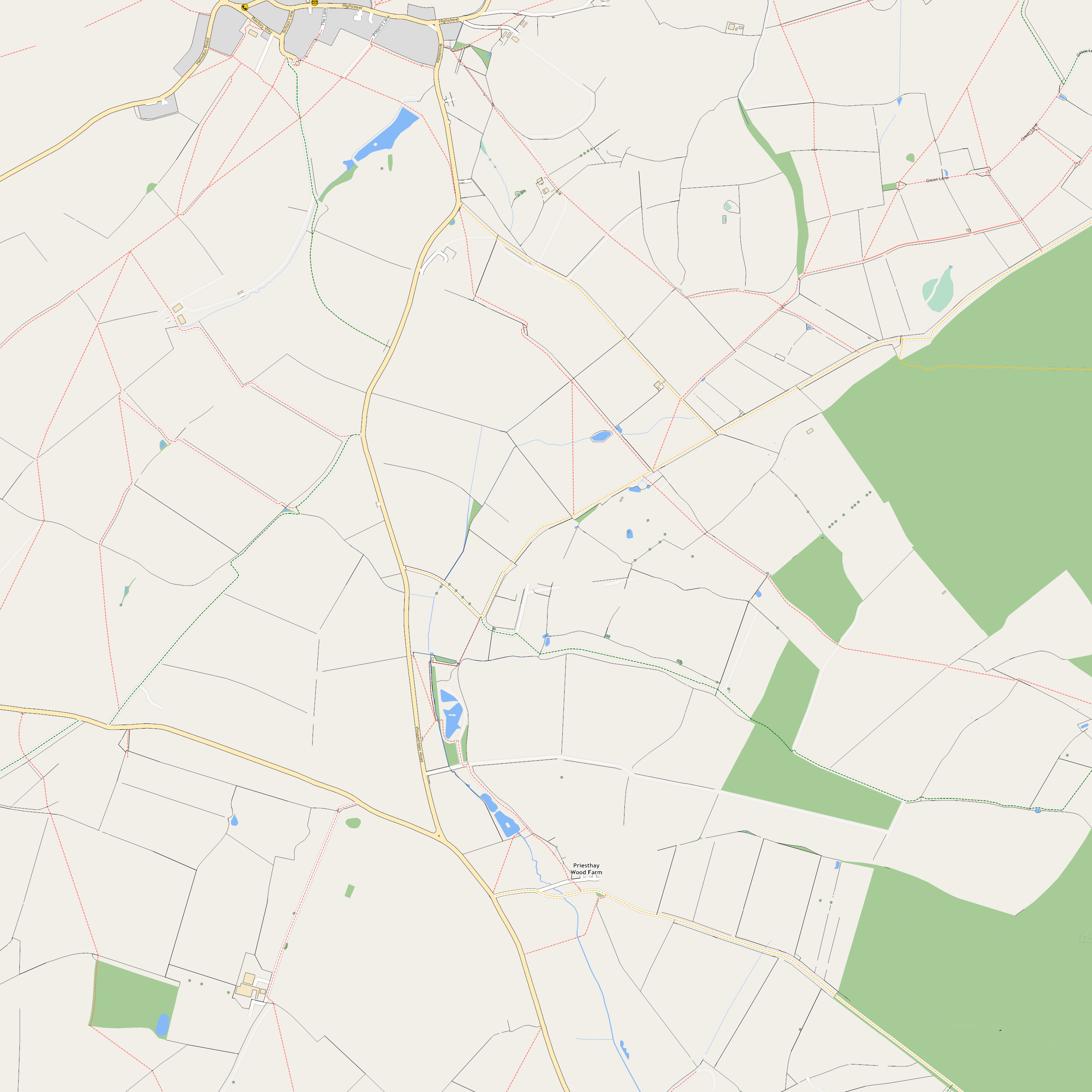
| 22:44, 14 December 2008 | South Wappenham.png (file) |  |
1.53 MB | 2 | |
| 11:22, 3 January 2008 | User-Ben - Address.PNG (file) | 656 bytes | 2 | ||
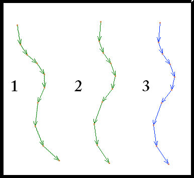
| 01:10, 18 October 2007 | Nodes-segments-ways.PNG (file) |  |
10 KB | 2 | |
| 16:47, 9 July 2007 | Silverstone Circuit2.png (file) |  |
578 KB | Added Title, Made track blatent, removed county boarder | 1 |
| 02:50, 6 July 2007 | Silverstone circuit.png (file) |  |
575 KB | 1 | |
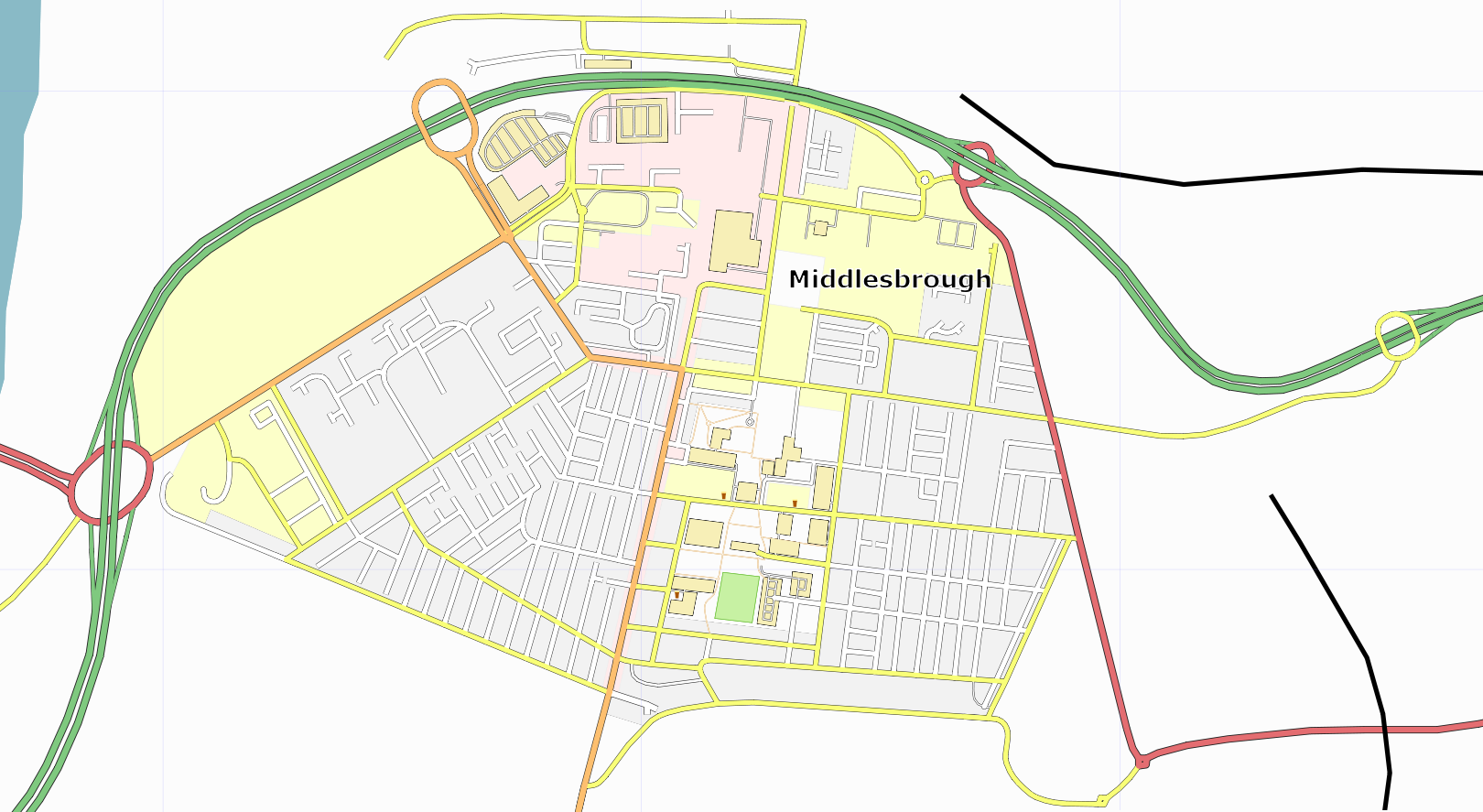
| 17:27, 26 April 2007 | Middlesbrough.PNG (file) |  |
377 KB | 1 | |
| 00:58, 25 March 2007 | Nodes along a way.PNG (file) |  |
2 KB | 1 | |
| 00:54, 25 March 2007 | Dual Carrageways.PNG (file) |  |
2 KB | 1 | |
| 00:42, 25 March 2007 | Ways relative to dots.PNG (file) |  |
7 KB | 1 | |
| 23:36, 24 March 2007 | Good-Bad Ways.PNG (file) |  |
12 KB | 1 | |
| 05:22, 8 March 2007 | Rivers.png (file) |  |
23 KB | 1 | |
| 02:33, 23 February 2007 | Road-area-osm.png (file) |  |
5 KB | Reverted to earlier revision | 4 |
| 15:40, 26 January 2007 | Example of methods.PNG (file) |  |
9 KB | 1 | |
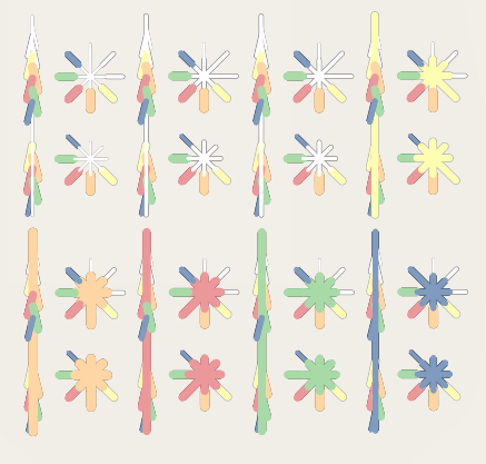
| 01:18, 22 January 2007 | Symbols.png (file) |  |
1 KB | 1 | |
| 02:38, 21 January 2007 | Nstar.png (file) |  |
20 KB | 3 |