Uploads by Bgirardot
Jump to navigation
Jump to search
This special page shows all uploaded files.
| Date | Name | Thumbnail | Size | Description | Versions |
|---|---|---|---|---|---|
| 00:13, 24 July 2018 | Align-imagery-JOSM.gif (file) |  |
3.41 MB | Animated gif shows how to align imagery in JOSM | 1 |
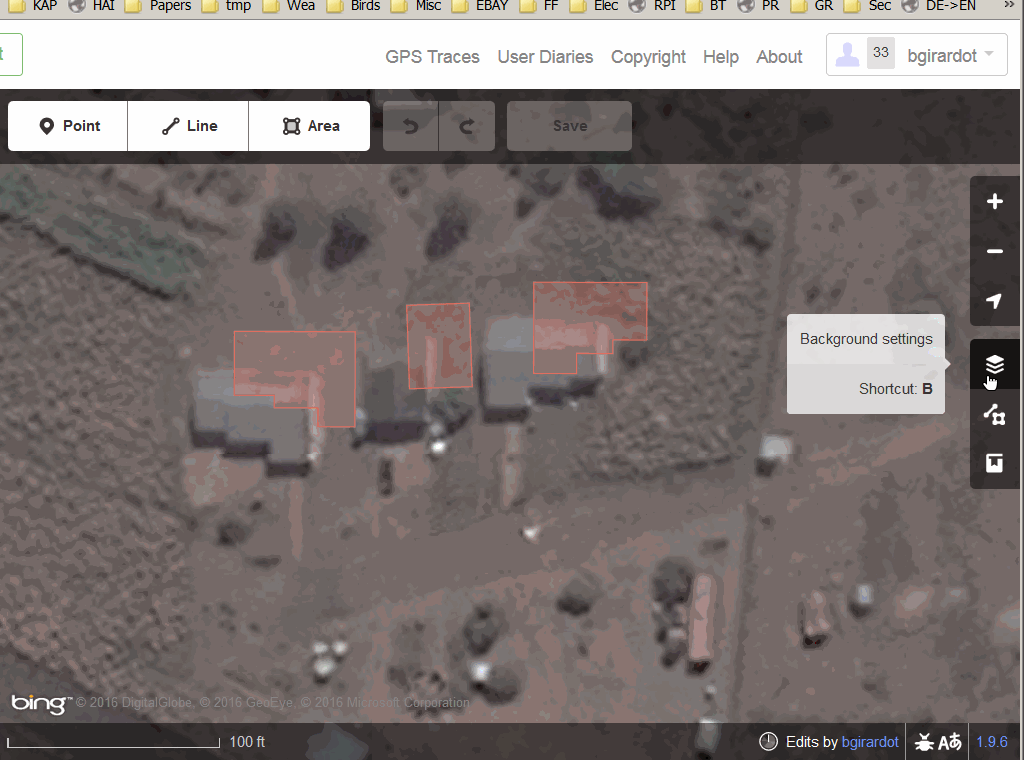
| 18:46, 4 July 2018 | Sq-bld-id23.gif (file) |  |
398 KB | Shows how to square a building using the iD editor. | 1 |
| 10:30, 4 May 2018 | Somalia-iD-align-imagery.gif (file) |  |
2.17 MB | Animated GIF demonstrating how to align background imagery in the iD editor using roads in Somalia | 1 |
| 20:04, 22 February 2018 | Round-blds-id.gif (file) |  |
273 KB | Animated gif of creating a round building in the iD web editor. | 1 |
| 14:07, 18 May 2017 | Id-change-brightness3.gif (file) |  |
537 KB | Animated gif showing how to change the background brightness in the iD web editor. | 1 |
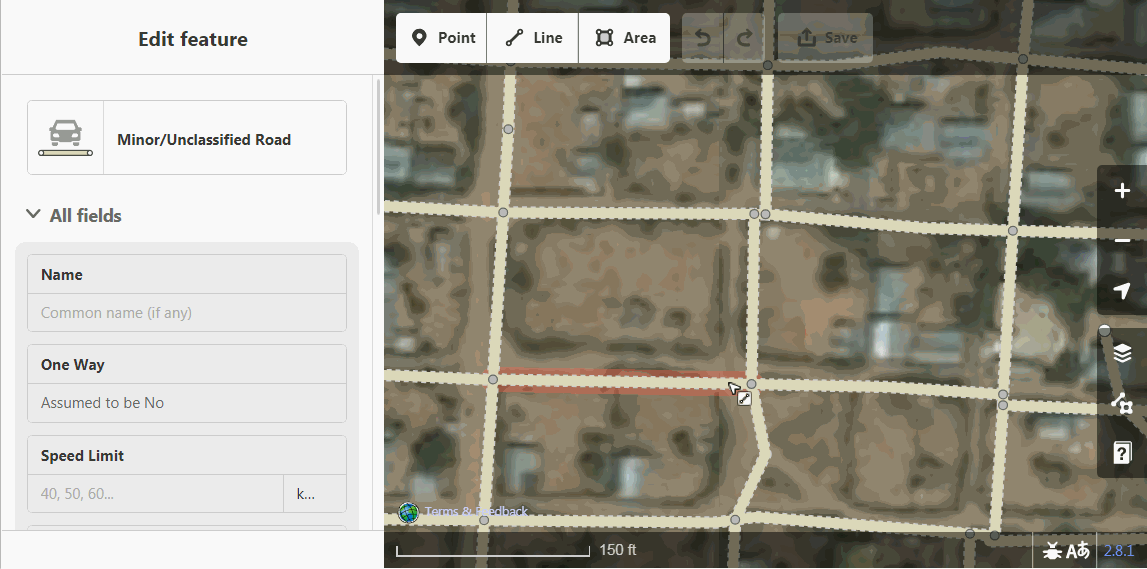
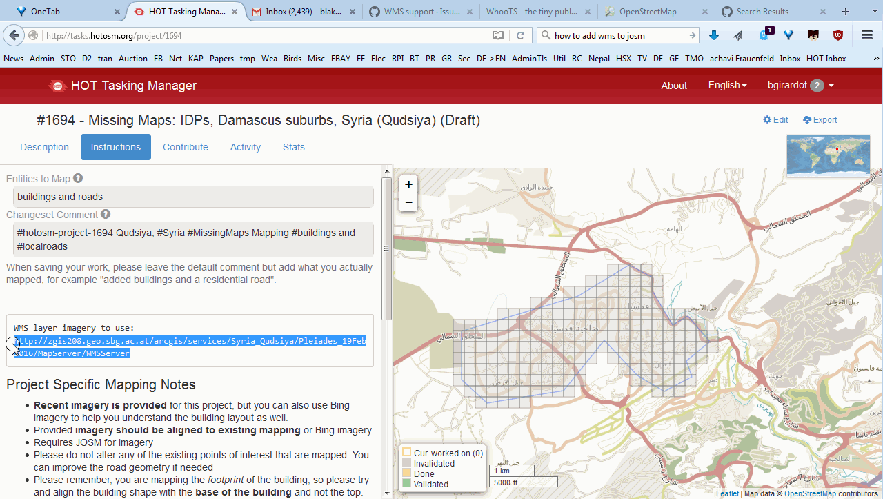
| 12:15, 15 March 2017 | Id-align-roads2.gif (file) |  |
2.55 MB | An animated gif that demonstrates how to align imagery to existing mapping using the iD web editor. | 1 |
| 05:13, 4 December 2016 | Id-add-imagery.gif (file) |  |
3.42 MB | Animated gif of how to add imagery with the iD web editor. | 1 |
| 17:37, 6 July 2016 | Id-adjust-imagery.gif (file) |  |
4.03 MB | An animated gif of the new UI for adjusting background imagery in the iD editor. | 1 |
| 00:17, 22 June 2016 | CodeofConductComplaintProcedures-Current.pdf (file) |  |
113 KB | This is a PDF copy of the HOT Code of Conduct Complaint Procedures. These were adopted by the HOT US Inc. Voting Members on May 5th, 2016. | 1 |
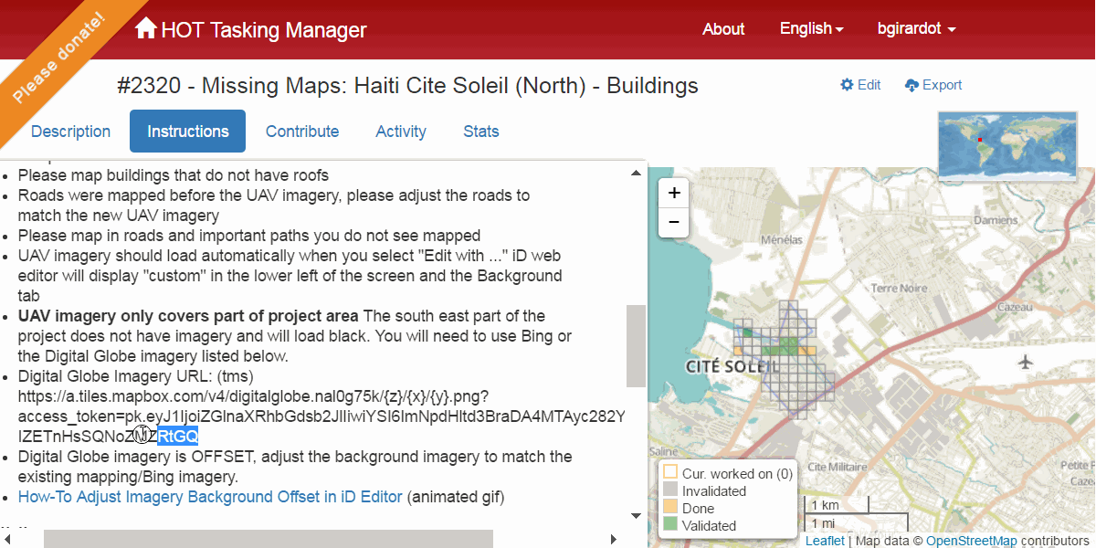
| 11:51, 24 March 2016 | How to add WMS Layer in JOSM.gif (file) |  |
1.07 MB | An animated gif that shows the process of adding a WMS layer in JOSM | 1 |
| 12:51, 5 March 2016 | InternationalWomensDay2016-.png (file) |  |
4 KB | Logo, no words, 2016 International Womens Day. Source: http://www.internationalwomensday.com/Logo | 1 |
| 19:04, 25 October 2015 | MX OSM Auth.pdf (file) | 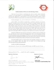 |
1.1 MB | License from the Mexican Government allowing OSMF use of data released at http://busca.datos.gob.mx/#/grupos/rmx for OSM mapping and releasing under ODbL 1.0 | 1 |
| 03:47, 17 March 2015 | OSMNotesGuest.gif (file) |  |
188 KB | Animated gif showing the use of notes while not logged in to OSM | 1 |
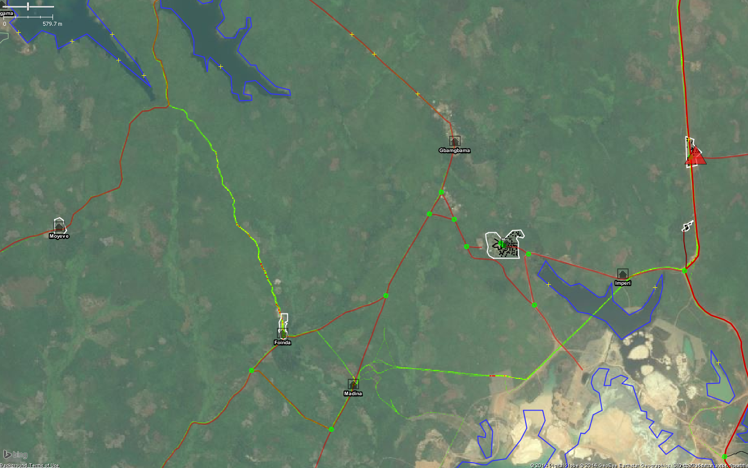
| 23:03, 26 December 2014 | StravaHeatMapExample.png (file) |  |
1.17 MB | This image shows the new Strava heatmap layer in JOSM in the Gbamgbama area, Sierra Leone. https://www.openstreetmap.org/#map=14/7.6968/-12.3178 {{ Bing image }} | 1 |
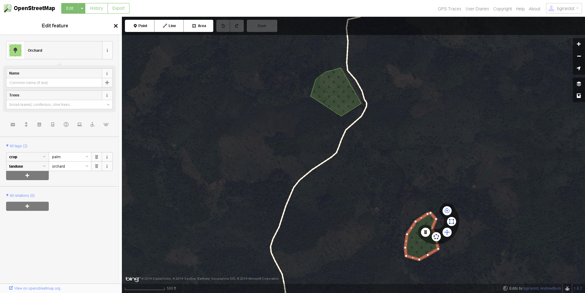
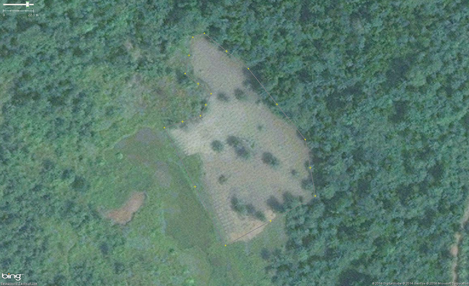
| 19:43, 14 November 2014 | Orchard07.png (file) |  |
2.18 MB | Aerial imagery of small rural palm orchard in West Africa. https://www.openstreetmap.org/#map=16/7.68543/-9.19221 {{Bing image}} | 1 |
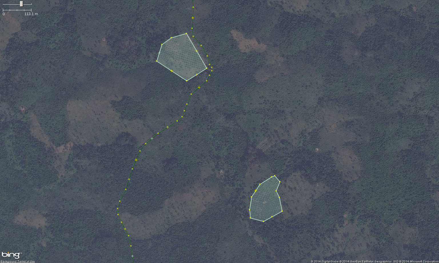
| 19:41, 14 November 2014 | Orchard06.png (file) |  |
2.22 MB | Aerial imagery of small rural palm orchard in West Africa. https://www.openstreetmap.org/#map=16/7.68543/-9.19221 {{Bing image}} | 1 |
| 19:37, 14 November 2014 | Orchard05.png (file) |  |
1.39 MB | Aerial imagery of small rural palm orchard in West Africa. https://www.openstreetmap.org/#map=16/7.68543/-9.19221 {{Bing image}} | 1 |
| 19:34, 14 November 2014 | Orchard04.png (file) |  |
1.38 MB | Aerial imagery of small rural palm orchard in West Africa. https://www.openstreetmap.org/#map=16/7.68543/-9.19221 {{Bing image}} | 1 |
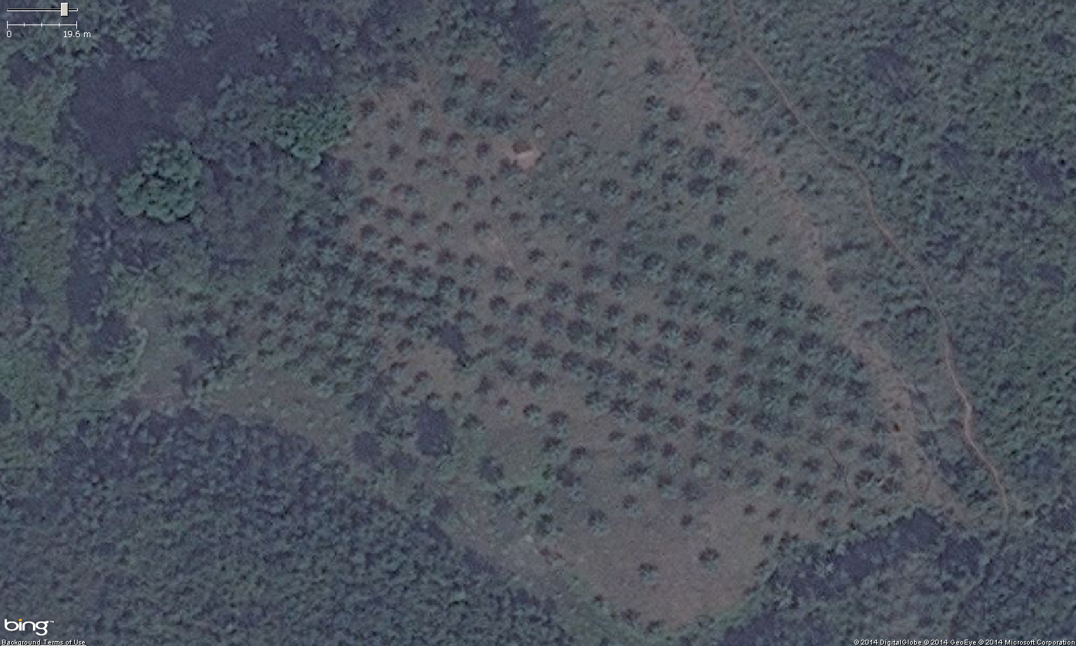
| 19:30, 14 November 2014 | Orchard03.png (file) |  |
1.37 MB | Aerial imagery of small rural palm orchard in West Africa. https://www.openstreetmap.org/#map=16/7.68543/-9.19221 {{Bing image}} | 1 |
| 19:27, 14 November 2014 | Orchard02.png (file) |  |
1.96 MB | Aerial imagery of small rural palm orchard in West Africa. https://www.openstreetmap.org/#map=16/7.68543/-9.19221 {{Bing image}} | 1 |
| 19:22, 14 November 2014 | Orchard01.png (file) |  |
2.11 MB | 2 | |
| 18:53, 14 November 2014 | RiceCrop04.png (file) |  |
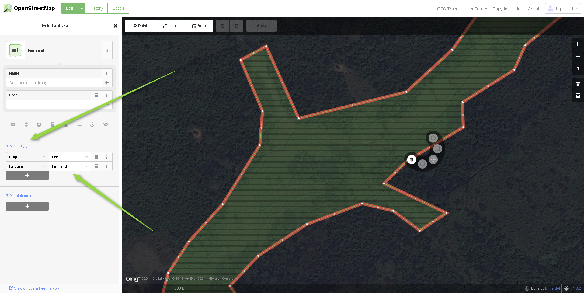
2.49 MB | A zoomed in view of rice paddies in West Africa mapped in iD with proper tags. https://www.openstreetmap.org/#map=17/7.69004/-9.1314 {{Bing image}} | 1 |
| 18:50, 14 November 2014 | RiceCrop03.png (file) |  |
2.39 MB | https://www.openstreetmap.org/#map=17/7.69004/-9.1314 - rice part one A zoomed in view of rice paddies in West Africa mapped in OSM with JOSM https://www.openstreetmap.org/#map=17/7.69004/-9.1314 {{Bing image}} | 1 |
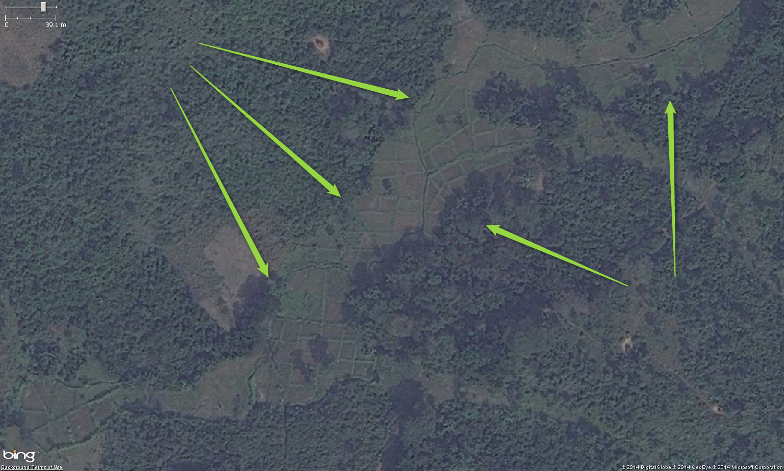
| 18:34, 14 November 2014 | RiceCrop02.png (file) |  |
1.43 MB | A zoomed out view of rice paddies in West Africa https://www.openstreetmap.org/#map=17/7.69004/-9.1314 {{Bing image}} | 1 |
| 18:29, 14 November 2014 | Rice01 5.png (file) |  |
1.24 MB | A zoomed out view of rice paddies in West Africa https://www.openstreetmap.org/#map=17/7.69004/-9.1314 {{Bing image}} | 1 |
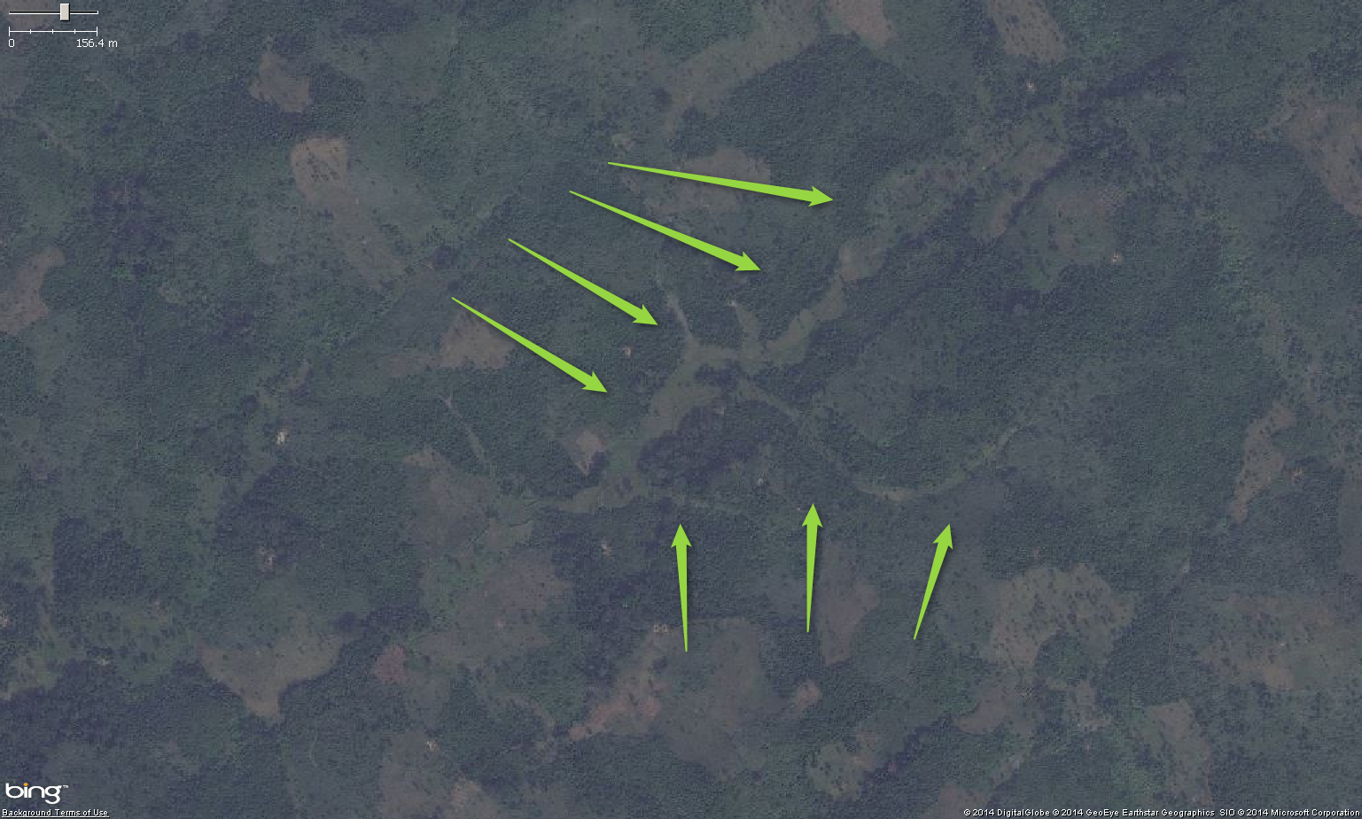
| 18:23, 14 November 2014 | RiceCrop01.png (file) |  |
1.2 MB | A zoomed out view of rice paddies in West Africa https://www.openstreetmap.org/#map=17/7.69004/-9.1314 {{Bing image}} | 1 |
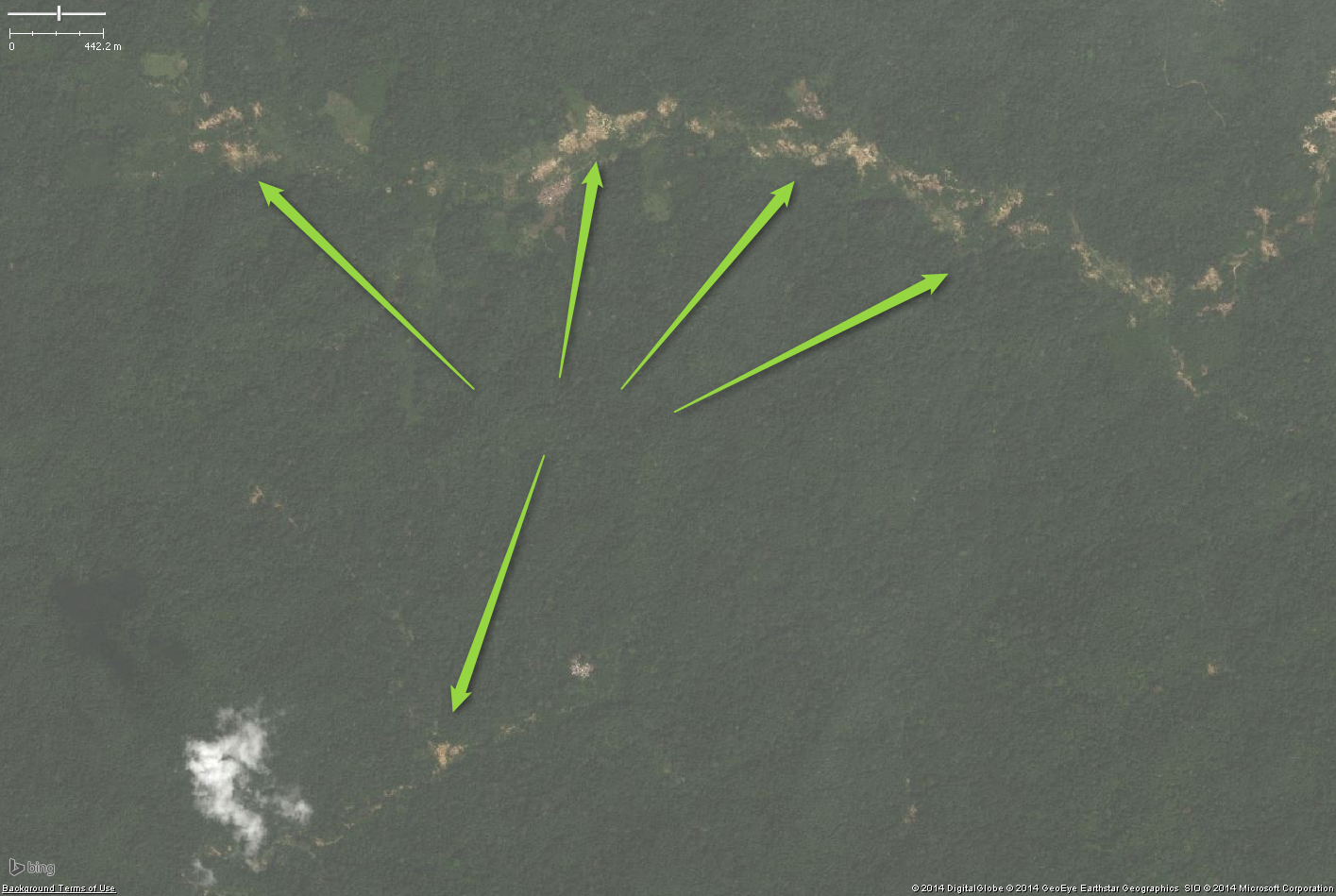
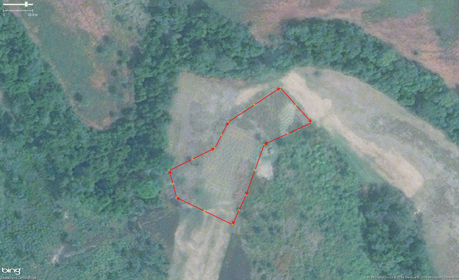
| 21:39, 10 November 2014 | Quarry01.png (file) |  |
1.38 MB | High level view of surface mining quarry in West Africa https://www.openstreetmap.org/#map=14/5.1334/-8.1108 {{Bing image}} | 1 |
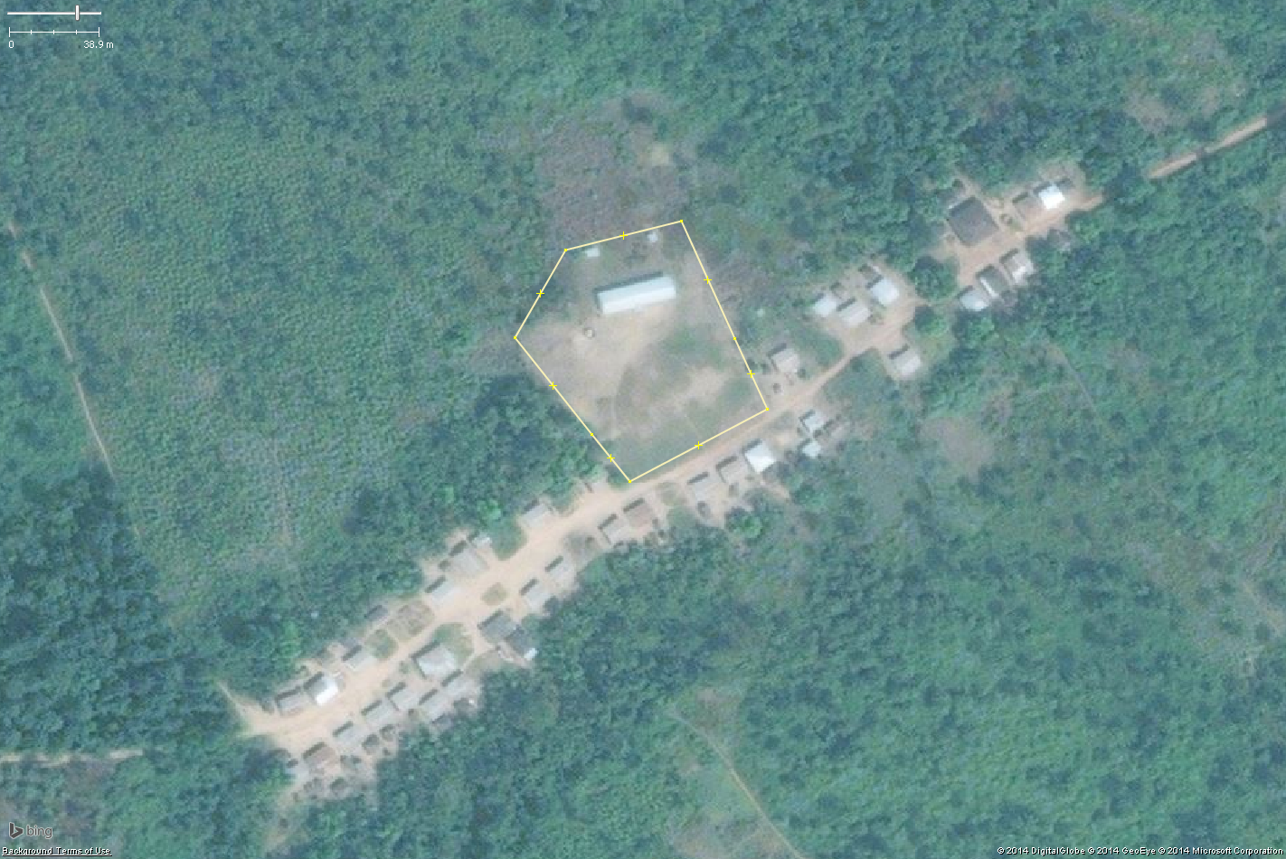
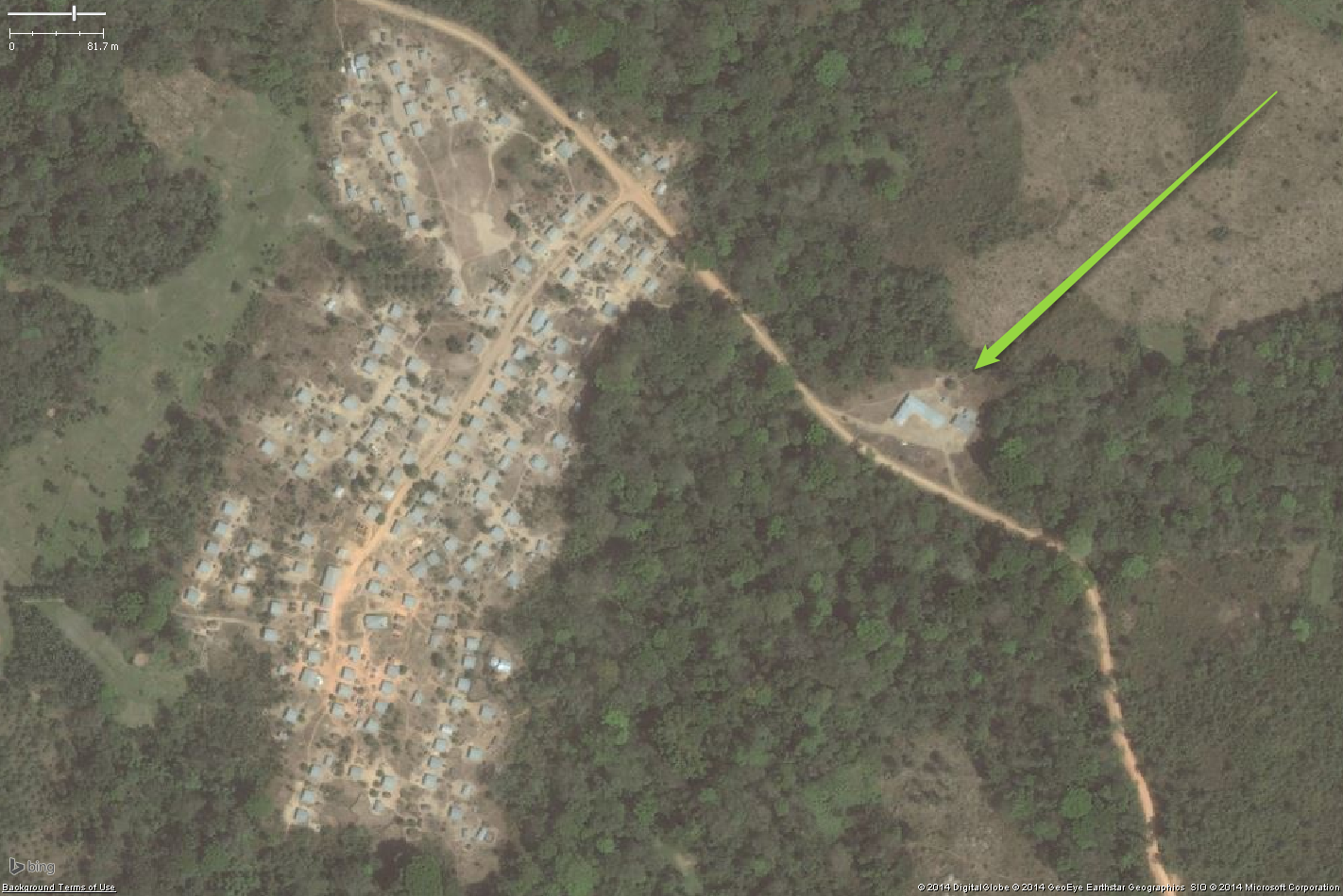
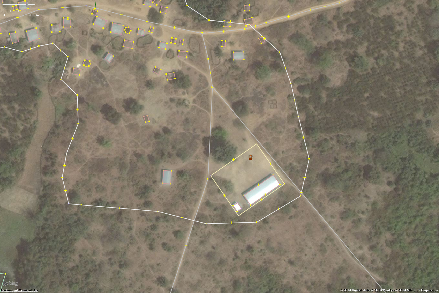
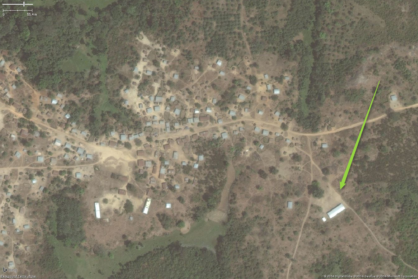
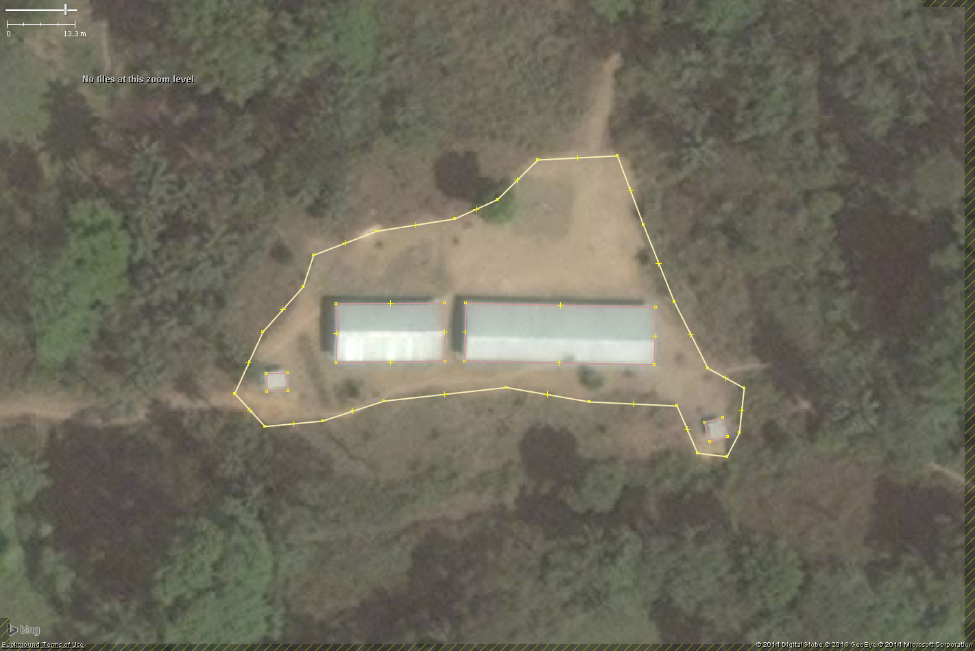
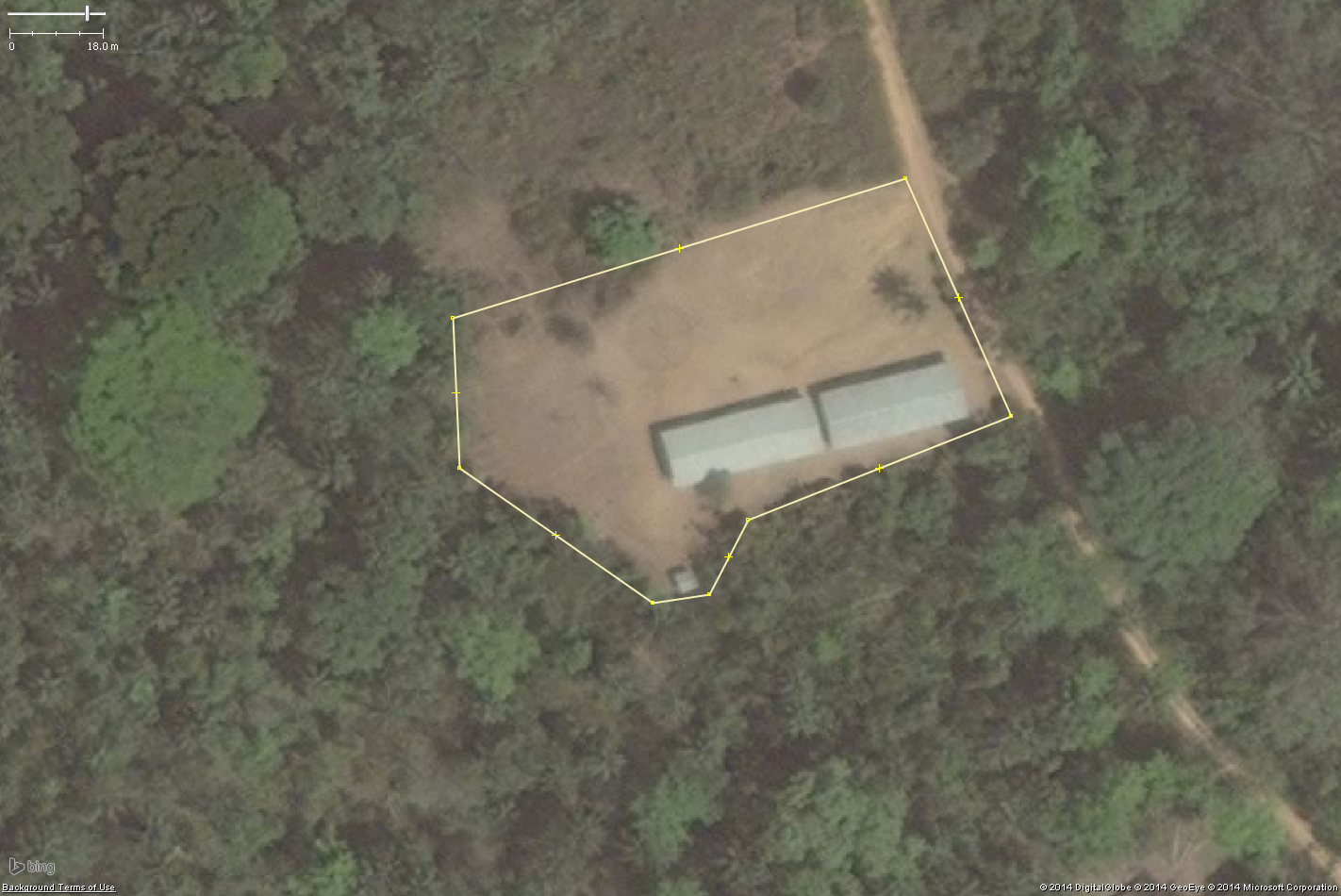
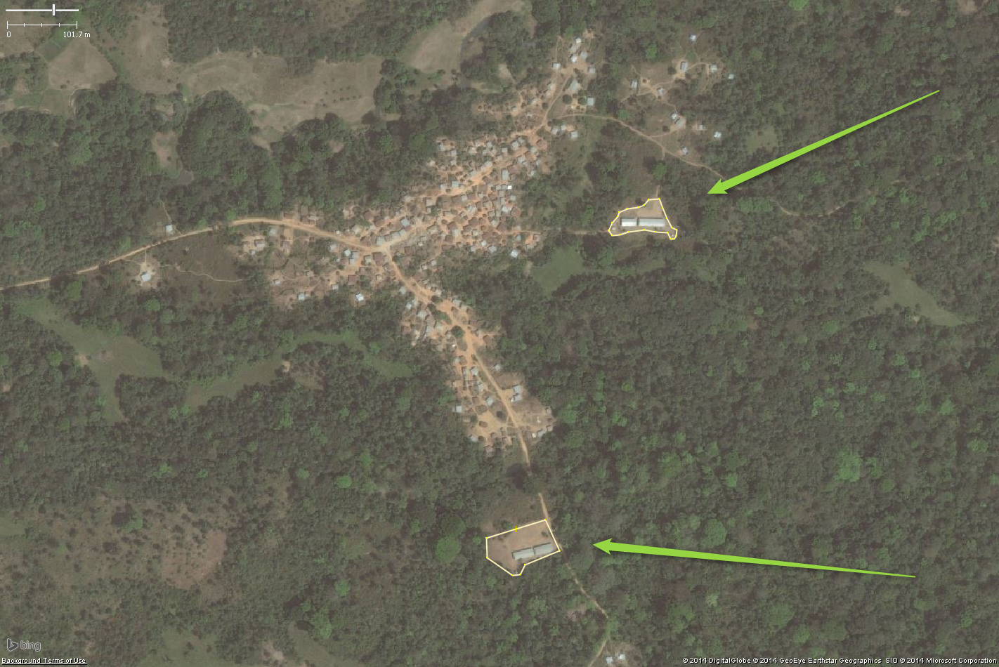
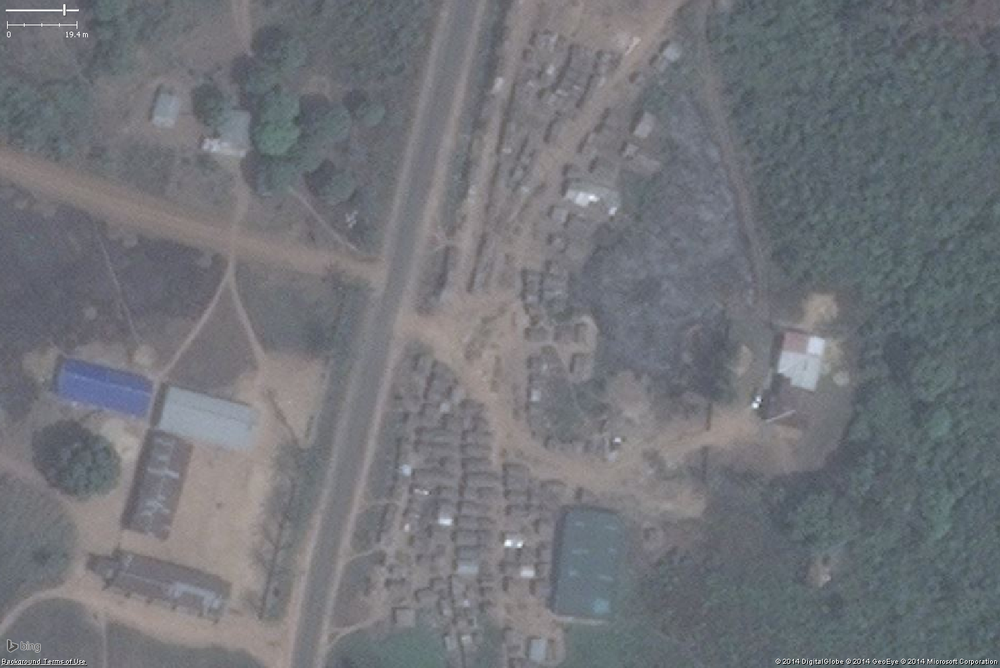
| 16:37, 9 November 2014 | School10.png (file) |  |
1.63 MB | A typical West African rural school. https://www.openstreetmap.org/#map=18/8.440656/-12.690274 {{Bing image}} | 1 |
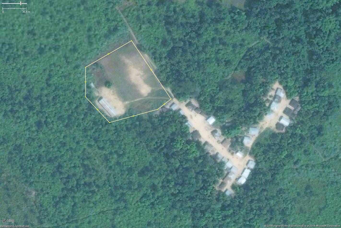
| 16:18, 9 November 2014 | School09.png (file) |  |
1.47 MB | A typical West African rural school. https://www.openstreetmap.org/#map=18/8.464849/-12.773368 {{Bing}} | 1 |
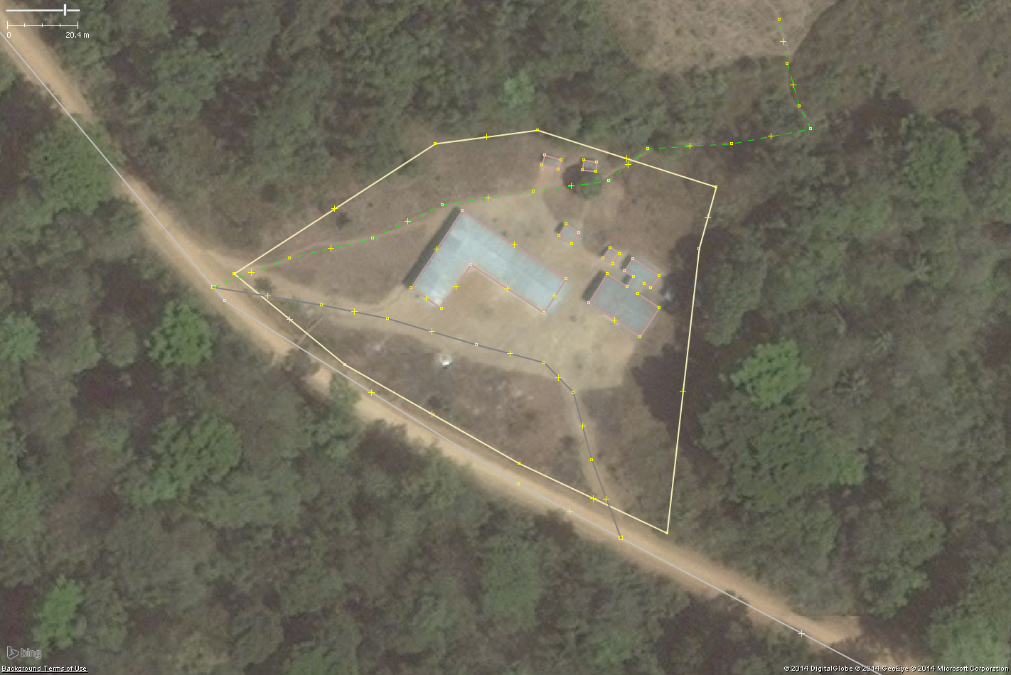
| 13:30, 9 November 2014 | School08.png (file) |  |
1.35 MB | A typical West African rural school. https://www.openstreetmap.org/#map=19/8.319574/-10.595975 {{Bing image}} | 1 |
| 13:30, 9 November 2014 | School07.png (file) |  |
1.39 MB | A typical West African rural school. https://www.openstreetmap.org/#map=19/8.319574/-10.595975 {{Bing image}} | 1 |
| 13:29, 9 November 2014 | School06.png (file) |  |
1.55 MB | A typical West African rural school. https://www.openstreetmap.org/#map=19/8.319574/-10.595975 {{Bing image}} | 1 |
| 13:11, 9 November 2014 | School05.png (file) |  |
2.16 MB | A typical rural school in West Africa https://www.openstreetmap.org/#map=18/8.36575/-10.64496 {{Bing image}} | 1 |
| 13:10, 9 November 2014 | School04.png (file) |  |
2.4 MB | A typical rural school in West Africa https://www.openstreetmap.org/#map=18/8.36575/-10.64496 {{Bing image}} | 1 |
| 12:49, 9 November 2014 | School03.png (file) |  |
721 KB | A typical West African rural school. https://www.openstreetmap.org/#map=17/8.37725/-10.60122 {{Bing image}} | 1 |
| 12:48, 9 November 2014 | School02.png (file) |  |
1.13 MB | A typical West African rural school. https://www.openstreetmap.org/#map=17/8.37725/-10.60122 {{Bing image}} | 1 |
| 12:45, 9 November 2014 | School01.png (file) |  |
2.06 MB | A typical West African rural school. https://www.openstreetmap.org/#map=17/8.37725/-10.60122 {{Bing image}} | 1 |
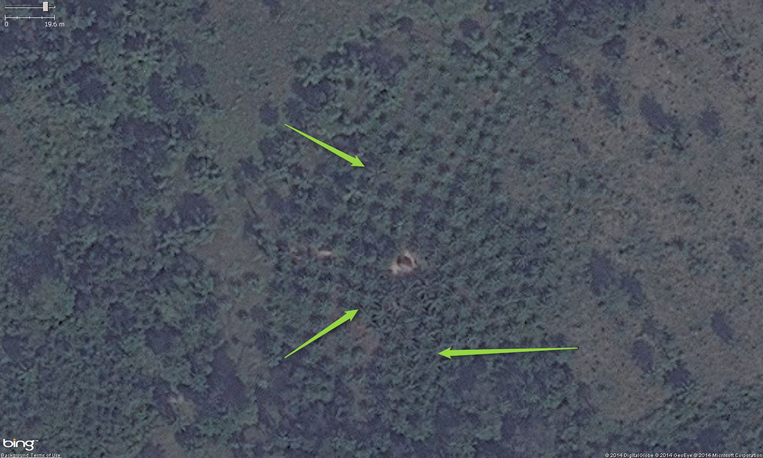
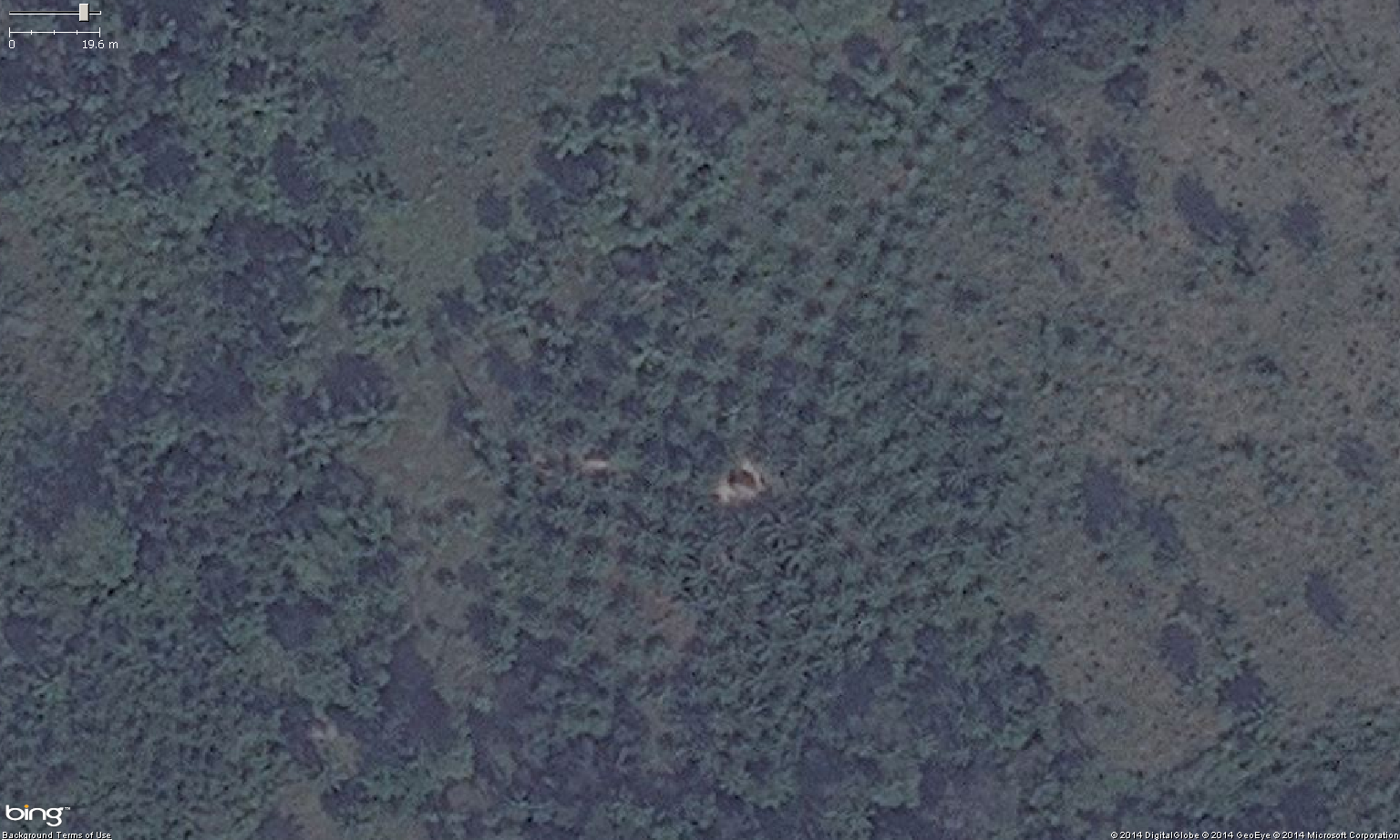
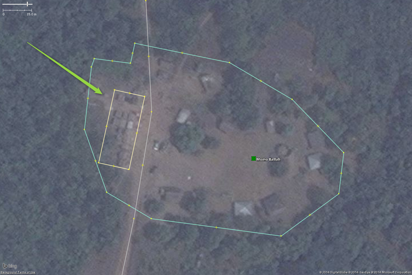
| 12:19, 9 November 2014 | Cemetery02.png (file) |  |
1.06 MB | A likely cemetery in West Africa. https://www.openstreetmap.org/#map=19/6.421993/-10.77185 {{Bing image}} | 1 |
| 12:19, 9 November 2014 | Cemetery01.png (file) |  |
943 KB | A likely cemetery in West Africa. https://www.openstreetmap.org/#map=19/6.421993/-10.77185 {{Bing image}} | 1 |
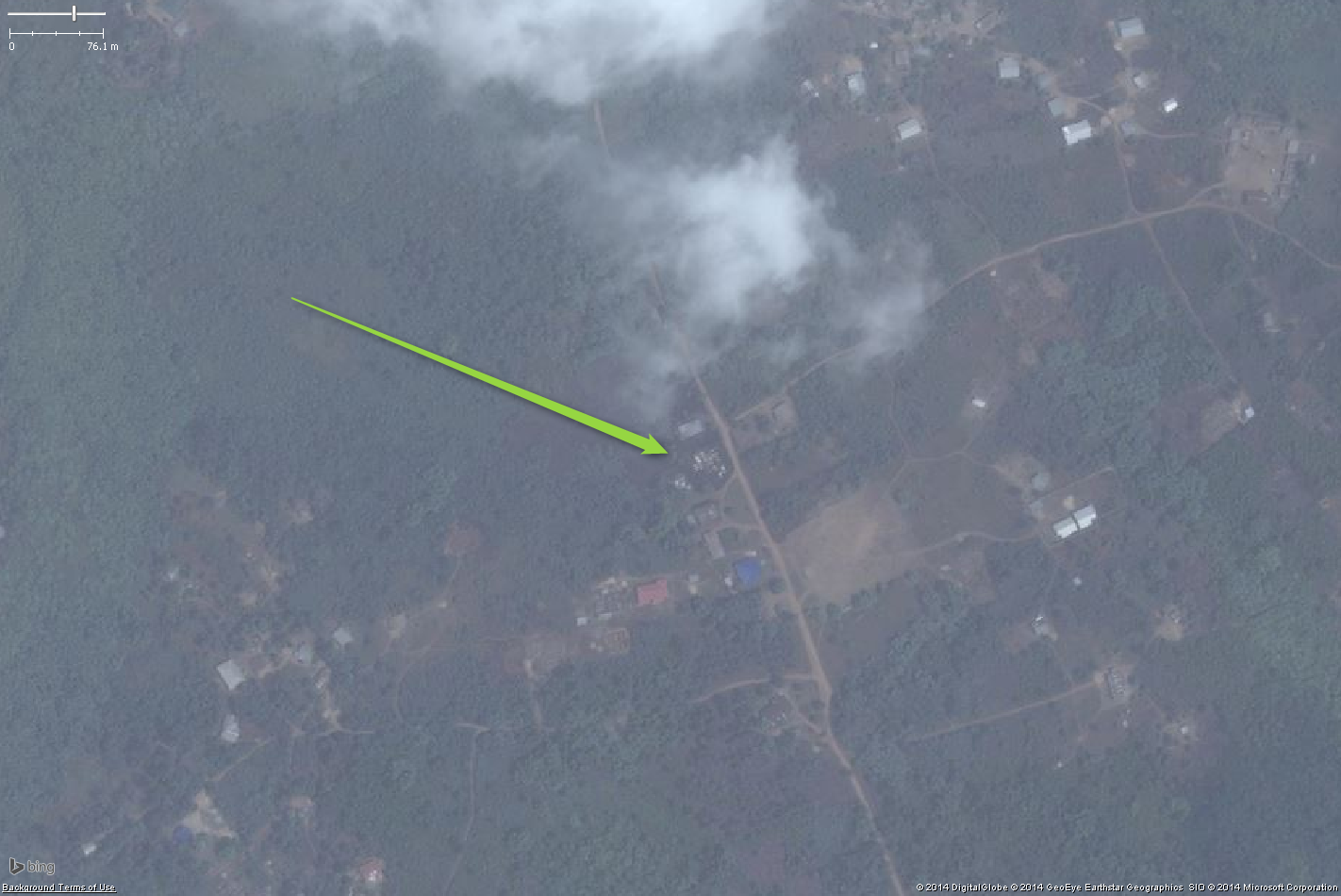
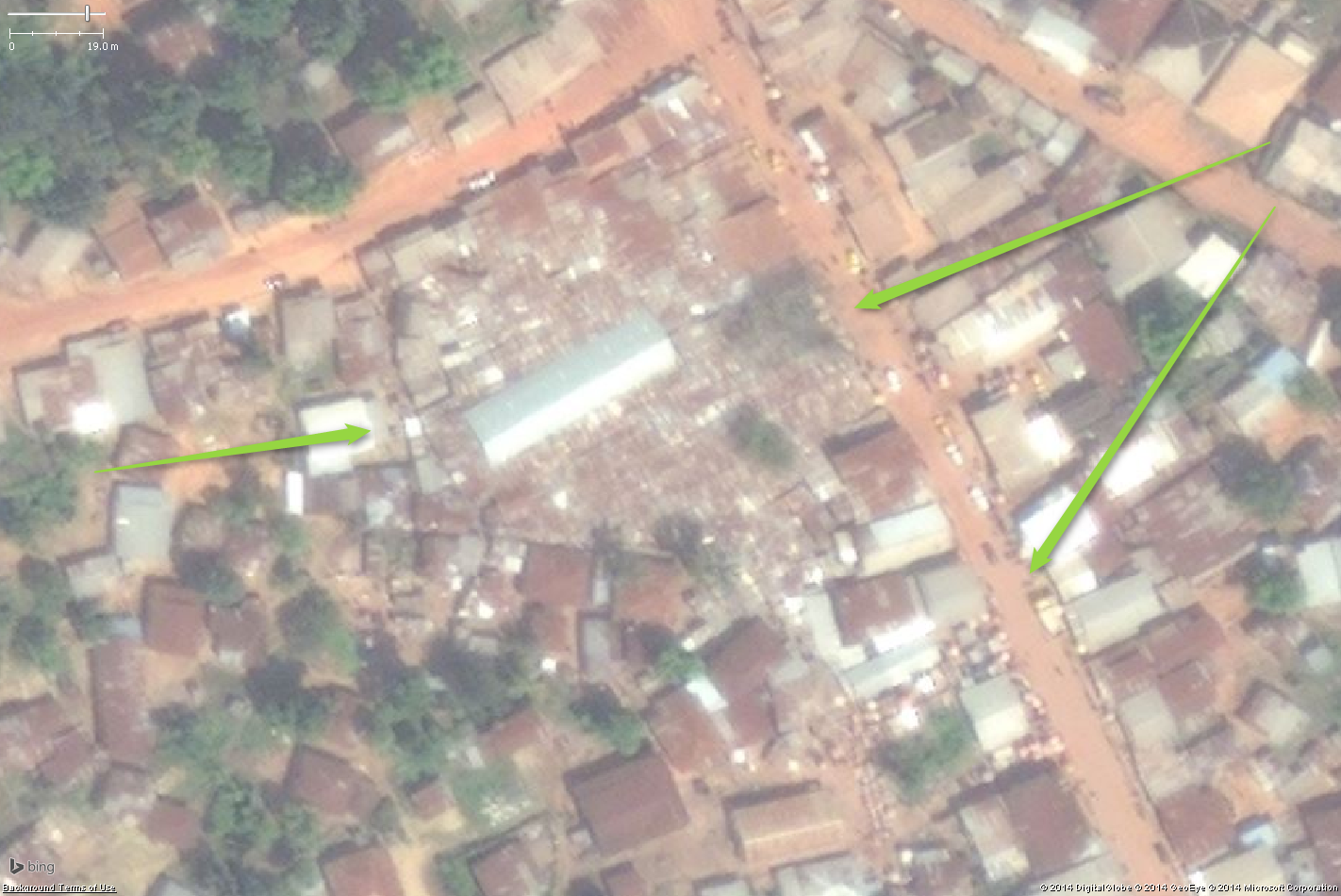
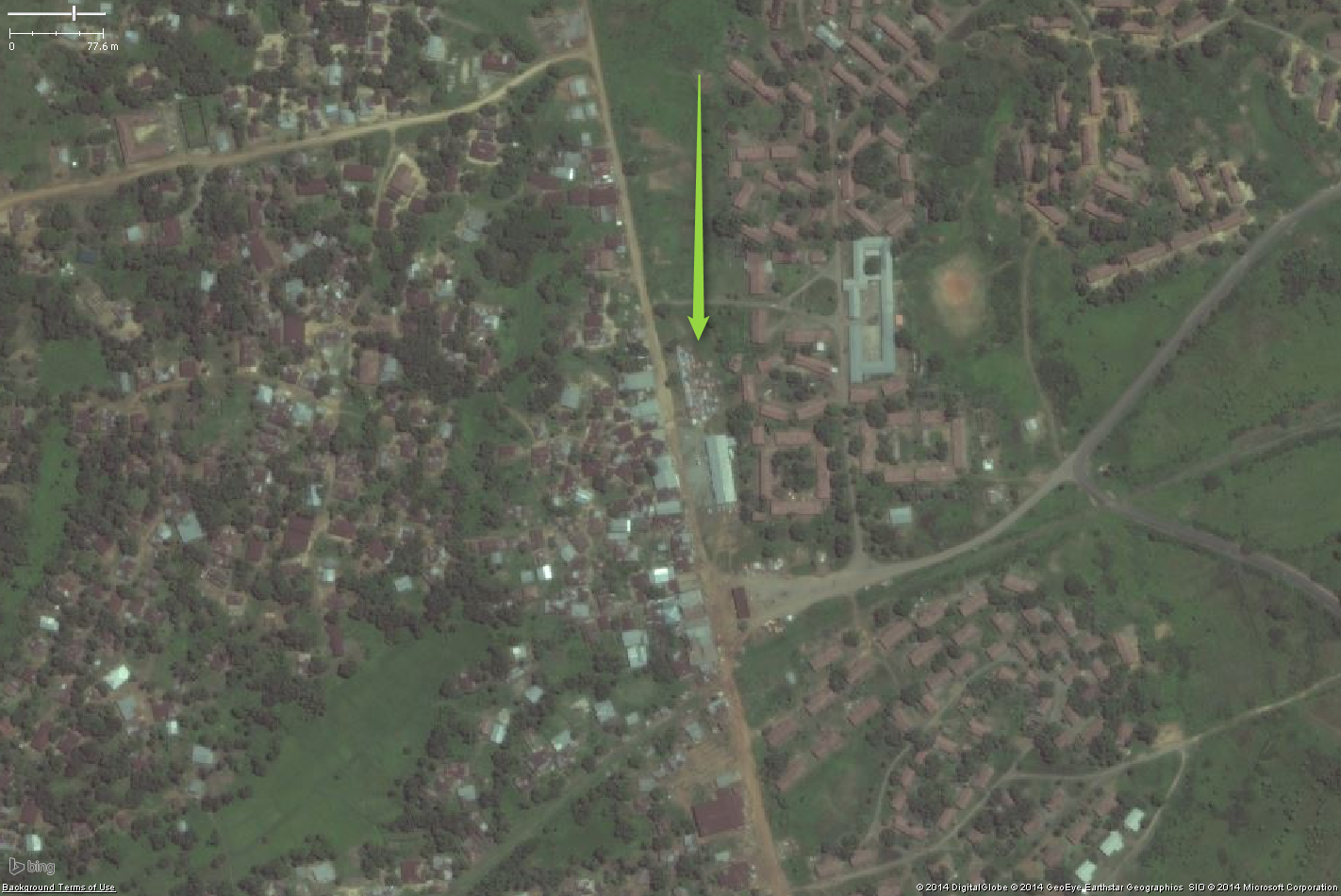
| 06:05, 9 November 2014 | Marketplace08.png (file) |  |
1.53 MB | A likely city marketplace in West Africa. https://www.openstreetmap.org/#map=19/6.998227/-9.473297 {{Bing image}} | 1 |
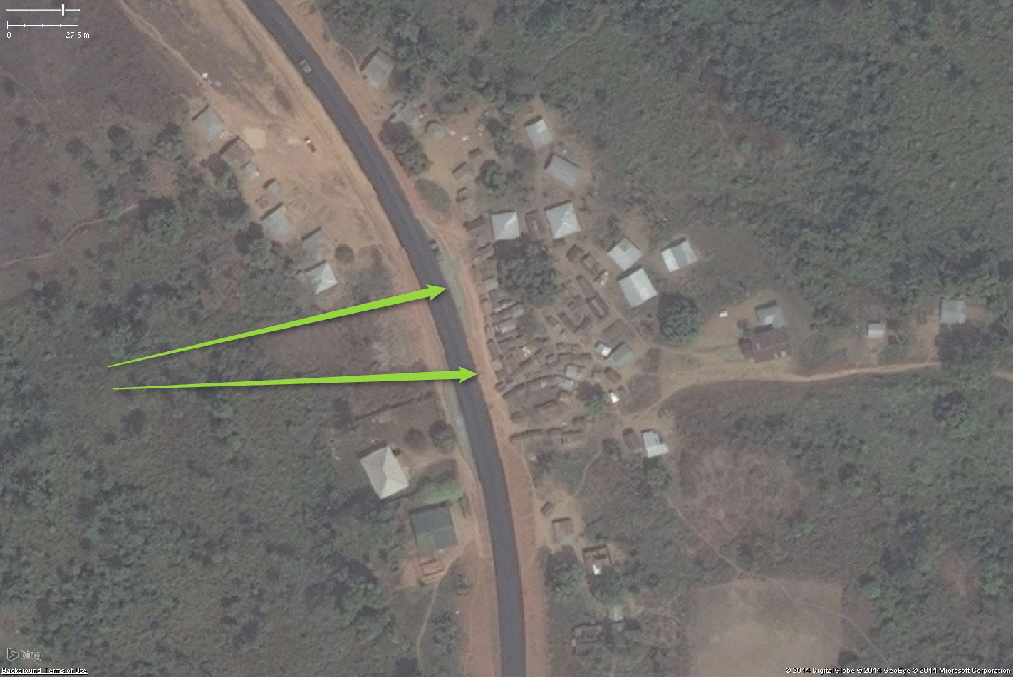
| 05:39, 9 November 2014 | Marketplace07.png (file) |  |
1.97 MB | A likely roadside marketplace in West Africa. https://www.openstreetmap.org/#map=19/6.814699/-9.928019 {{Bing image}} | 1 |
| 03:40, 9 November 2014 | Marketplace06.png (file) |  |
2 MB | A likely roadside marketplace in West Africa. https://www.openstreetmap.org/#map=18/6.053574/-10.010292 {{Bing image}} | 1 |
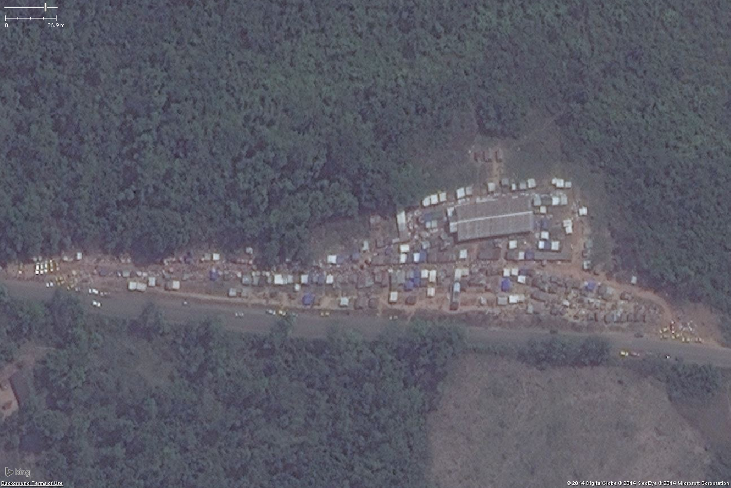
| 03:13, 9 November 2014 | Marketplace05.png (file) |  |
925 KB | A likely marketplace in a large West African settlement. https://www.openstreetmap.org/#map=19/6.812254/-10.361809 {{Bing image}} | 1 |
| 03:13, 9 November 2014 | Marketplace04.png (file) |  |
1.41 MB | A likely marketplace in a large West African settlement. https://www.openstreetmap.org/#map=19/6.812254/-10.361809 {{Bing image}} | 1 |
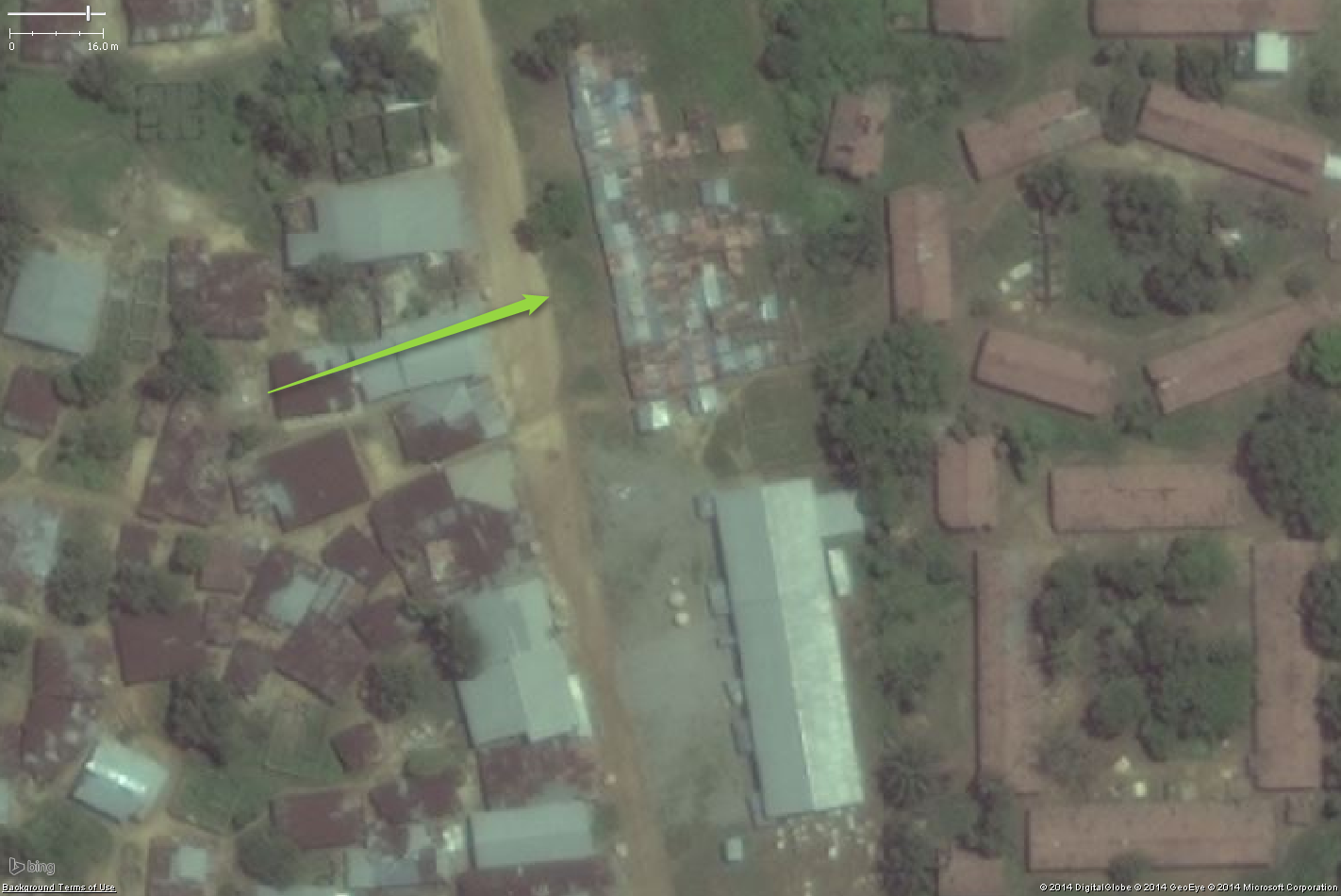
| 02:35, 9 November 2014 | Marketplace03.png (file) |  |
1.12 MB | A likely marketplace in large West African town and camp. https://www.openstreetmap.org/#map=19/6.583888/-10.88961 {{Bing image}} | 1 |
| 02:34, 9 November 2014 | Marketplace02.png (file) |  |
2 MB | A likely marketplace in large West African town and camp. https://www.openstreetmap.org/#map=19/6.583888/-10.88961 {{Bing image}} | 1 |
| 02:14, 9 November 2014 | Marketplace01.png (file) |  |
752 KB | A likely marketplace in a small West African village. https://www.openstreetmap.org/#map=19/6.54598/-10.824837 {{Bing image}} | 1 |
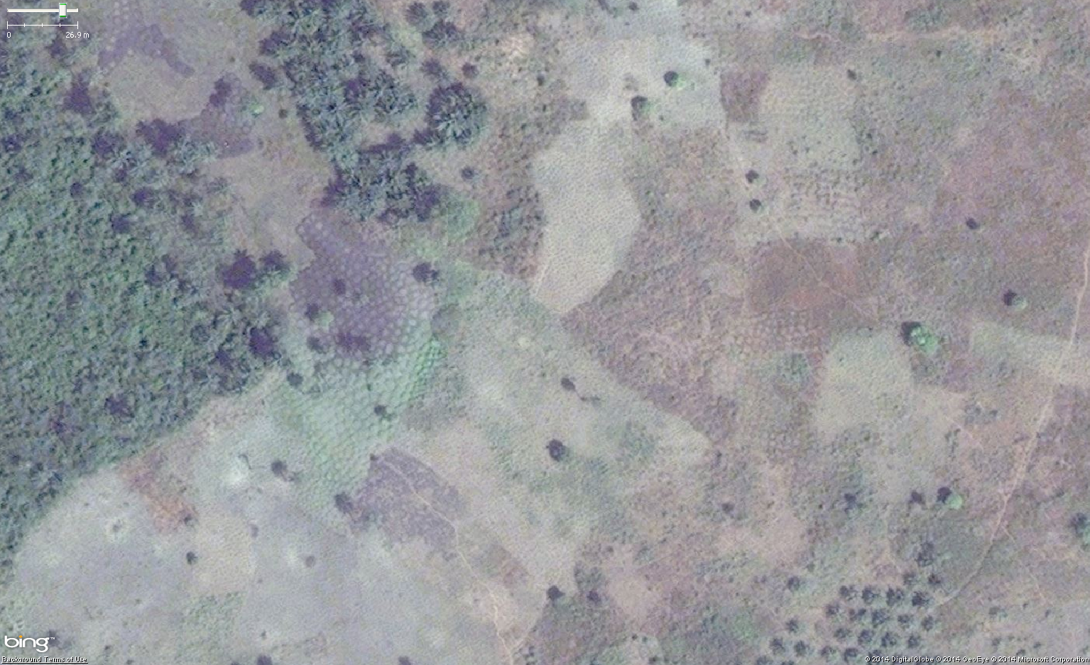
| 14:21, 27 October 2014 | CassavaWAfrica6.png (file) |  |
2.46 MB | Aerial imagery of typical Cassava (Manioc) cultivation in West Africa. {{Bing image}} | 1 |
| 14:20, 27 October 2014 | CassavaWAfrica5.png (file) |  |
1.93 MB | Aerial imagery of typical Cassava (Manioc) cultivation in West Africa. {{Bing image}} | 1 |
| 14:18, 27 October 2014 | CassavaWAfrica4.png (file) |  |
2.73 MB | Aerial imagery of typical Cassava (Manioc) cultivation in West Africa. {{Bing image}} | 1 |