Uploads by BubbaJuice
Jump to navigation
Jump to search
This special page shows all uploaded files.
| Date | Name | Thumbnail | Size | Description | Versions |
|---|---|---|---|---|---|
| 05:58, 12 April 2022 | TUCSON USC&GS 1933 Vertical.jpg (file) |  |
1.23 MB | 1 | |
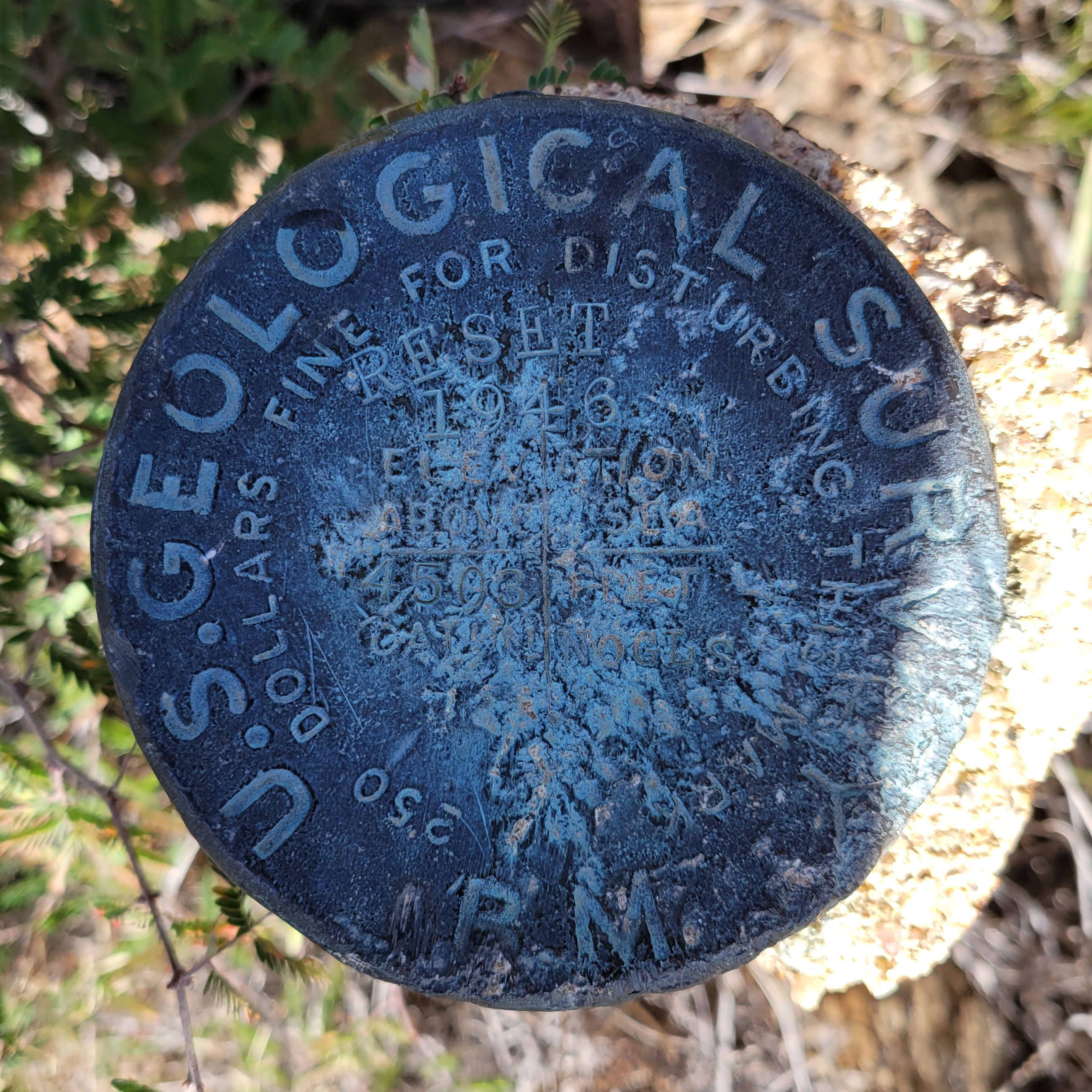
| 05:54, 12 April 2022 | NOGLS 4503 USGS Vertical Control.png (file) |  |
10.77 MB | 1 | |
| 05:48, 12 April 2022 | "TUCSON B" USC&GS Gravity Station.jpg (file) |  |
4.31 MB | 1 | |
| 05:41, 12 April 2022 | STRONG RM 2.jpg (file) |  |
596 KB | 1 | |
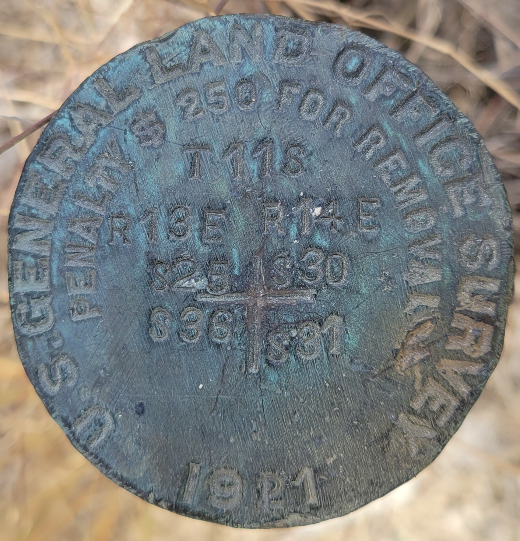
| 05:37, 12 April 2022 | GLO Pipe Cap from 1921.jpg (file) |  |
1.17 MB | 1 | |
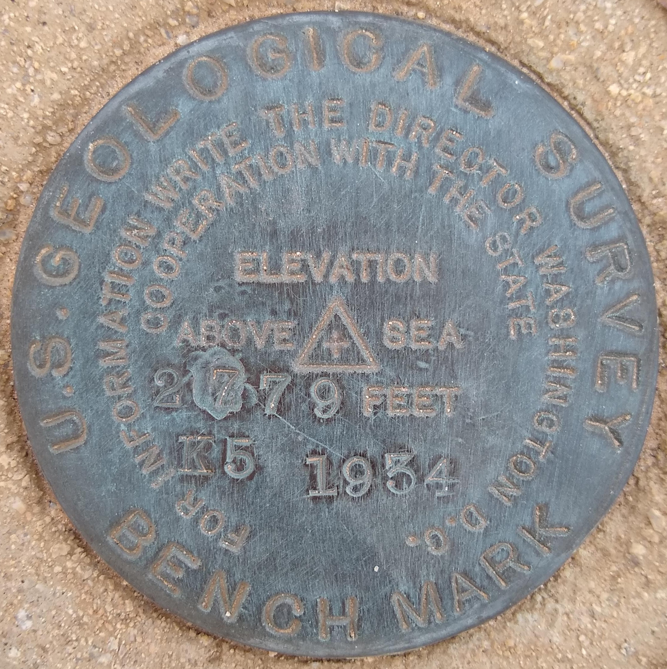
| 05:32, 12 April 2022 | USGS Control Point from 1934.jpg (file) |  |
1.59 MB | 1 | |
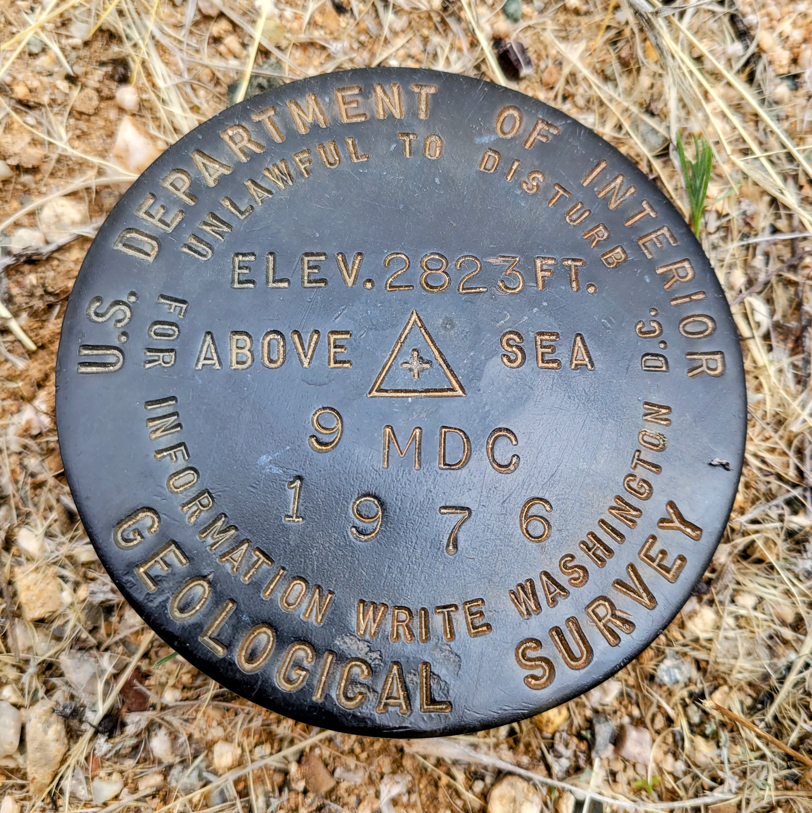
| 05:27, 12 April 2022 | USGS Vertical and Horizontal Control Point "9 MDC".jpg (file) |  |
1.85 MB | 1 | |
| 05:23, 12 April 2022 | USGS Triangulation Station "PUSCH".jpg (file) |  |
381 KB | 1 | |
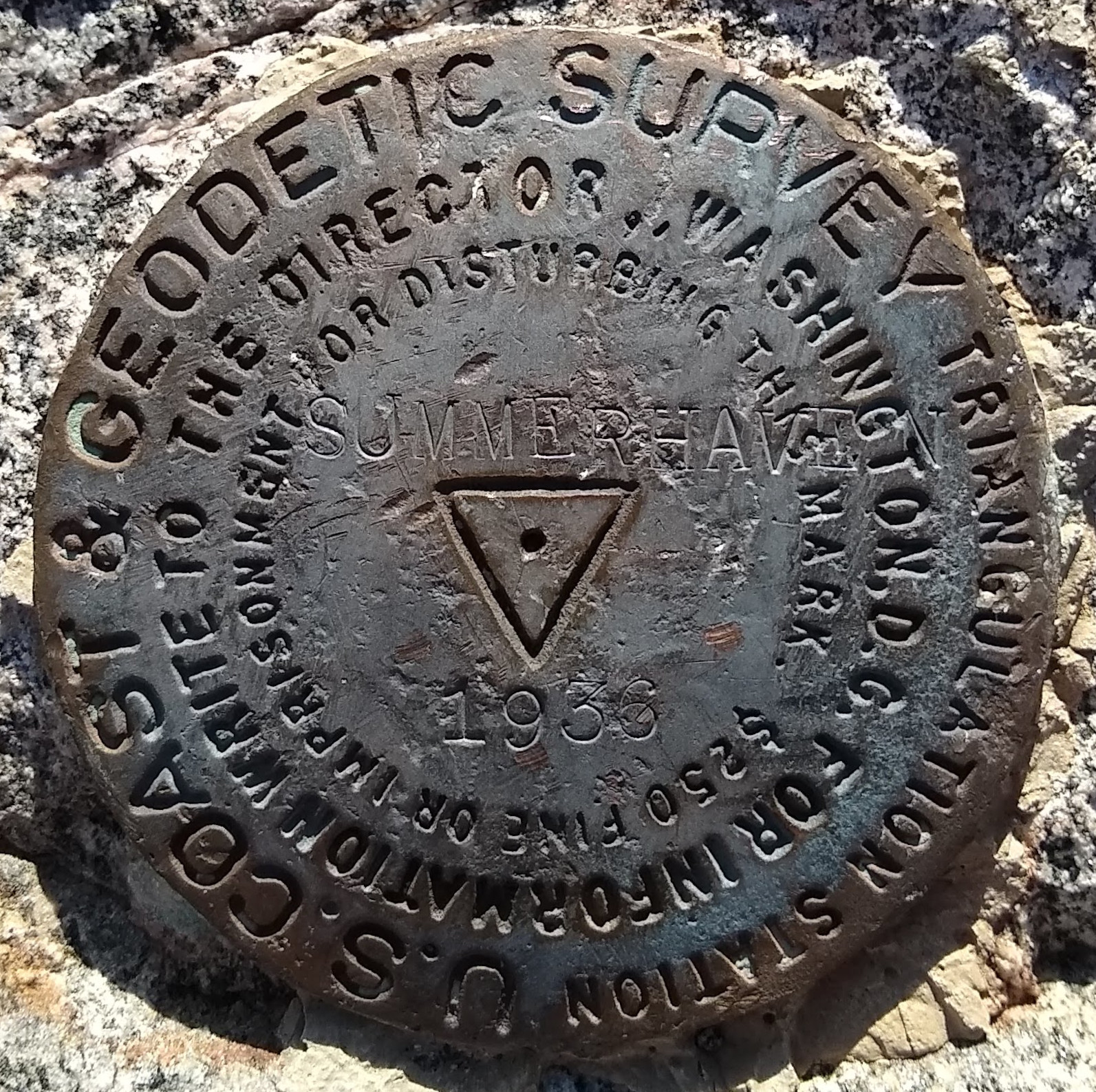
| 05:21, 12 April 2022 | "SUMMERHAVEN" USC&GS Benchmark.jpg (file) |  |
867 KB | 1 | |
| 23:47, 11 April 2022 | Vertical and Horizontal Control Points.svg (file) |  |
1 KB | 1 | |
| 06:23, 11 April 2022 | Triangle Horizontal Point.svg (file) |  |
732 bytes | 1 | |
| 06:17, 11 April 2022 | Default Survey Point.svg (file) |  |
728 bytes | 1 | |
| 06:14, 11 April 2022 | Generic Survey Point Design.png (file) |  |
4 KB | 1 | |
| 06:05, 11 April 2022 | Vertical Control Point Plus.svg (file) |  |
994 bytes | 1 | |
| 05:54, 11 April 2022 | Triangulation Station Triangle with Circle in Middle.svg (file) |  |
2 KB | 1 | |
| 14:34, 14 September 2021 | Tonto Street.png (file) |  |
1.65 MB | West Tonto Street in Phoenix. | 1 |
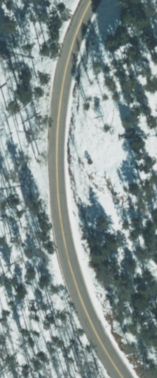
| 05:05, 14 September 2021 | North Upper Sabino Canyon Road.jpg (file) |  |
6.24 MB | This is a picture of North Upper Sabino Canyon Road taken December 26, 2019 in Tucson, Arizona. | 1 |
| 04:39, 14 September 2021 | AZ 366.png (file) |  |
648 KB | AZ 366 by the Mount Graham Wilderness. | 1 |
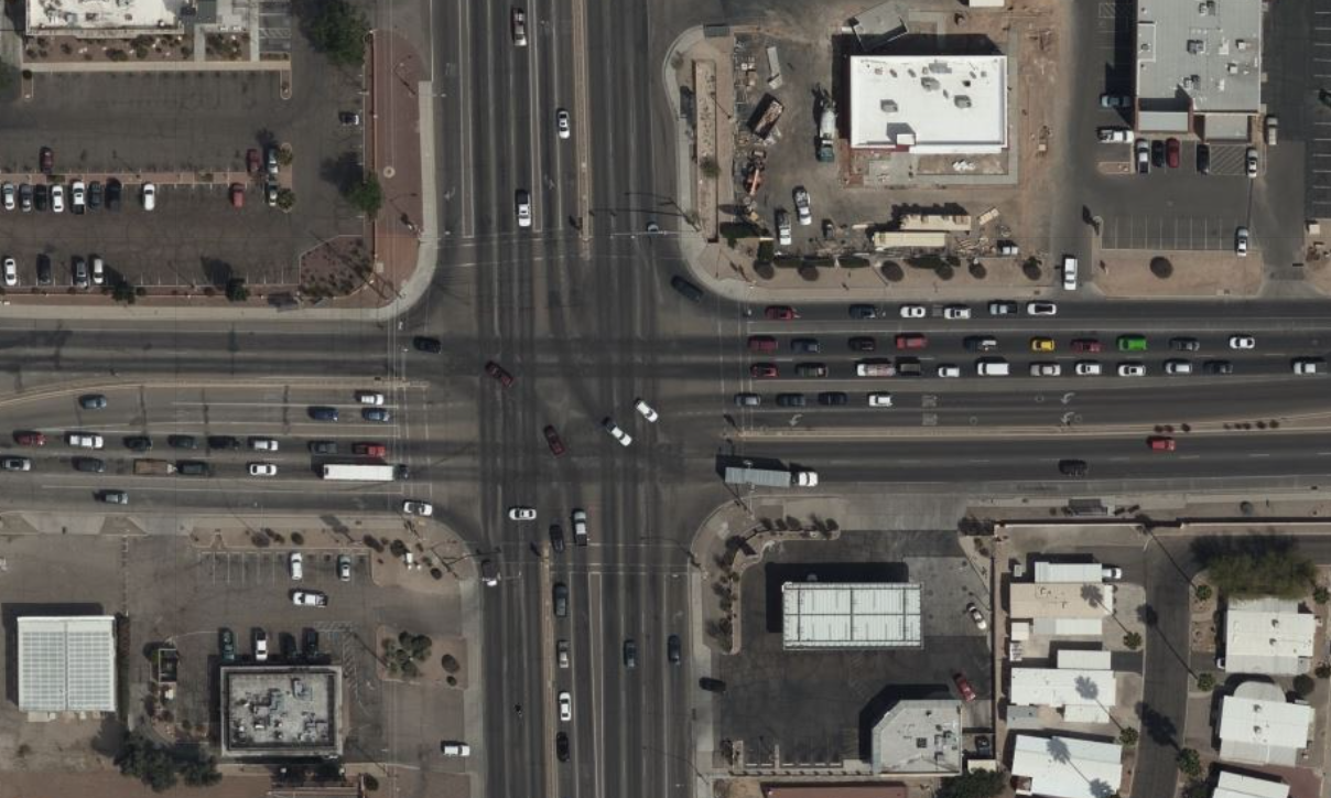
| 04:20, 14 September 2021 | Oracle and River Road.png (file) |  |
1.74 MB | The intersection of North Oracle Road and West River Road in Tucson, Arizona. | 1 |
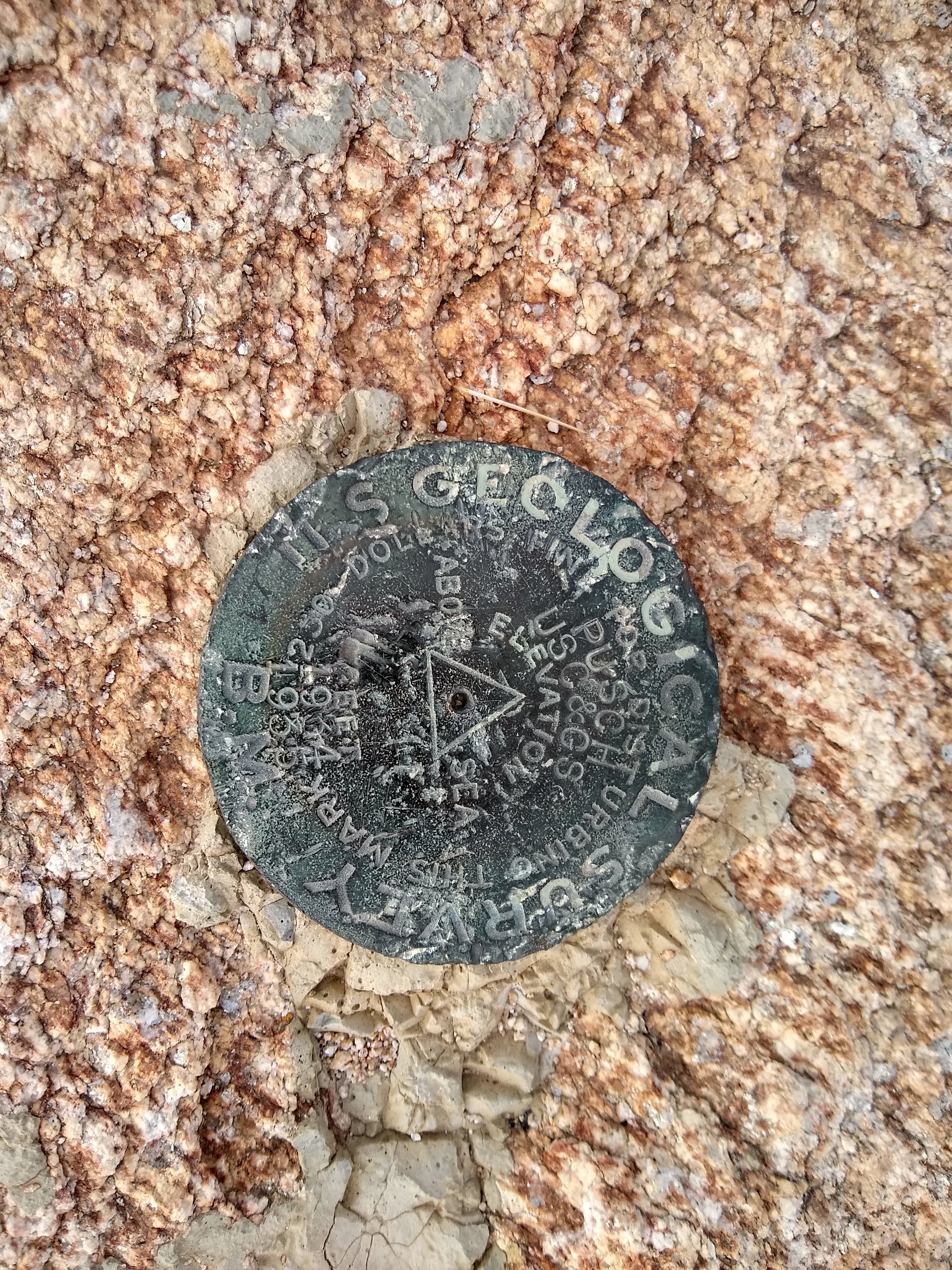
| 06:21, 3 August 2021 | PUSCH (CZ1865) Benchmark.jpg (file) | _Benchmark.jpg) |
3.12 MB | A triangulation point benchmark monumented in 1935 located at the summit of Pusch Peak in Pima County, Arizona. | 1 |
| 19:05, 7 July 2021 | RapiD.svg (file) |  |
2 KB | Logo for the RapiD editor. | 1 |
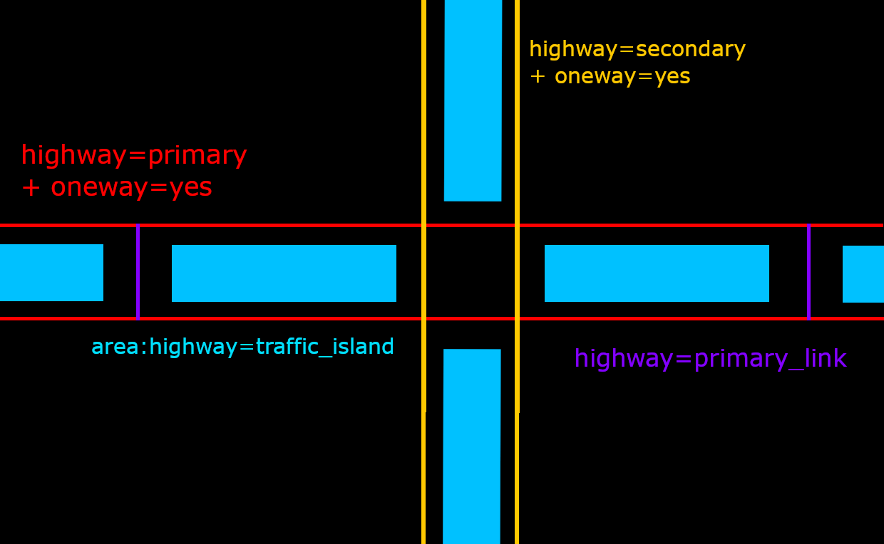
| 14:10, 11 May 2021 | DualCarriageDrawing.png (file) |  |
42 KB | Adding correct median tagging. | 2 |
| 20:02, 8 May 2021 | NotCarriage.png (file) |  |
162 KB | An example of what is not a dual carriageway. Taken on Bing from https://www.openstreetmap.org/#map=19/32.25039/-110.92834 | 1 |