Uploads by Cartinus
Jump to navigation
Jump to search
This special page shows all uploaded files.
| Date | Name | Thumbnail | Size | Description | Versions |
|---|---|---|---|---|---|
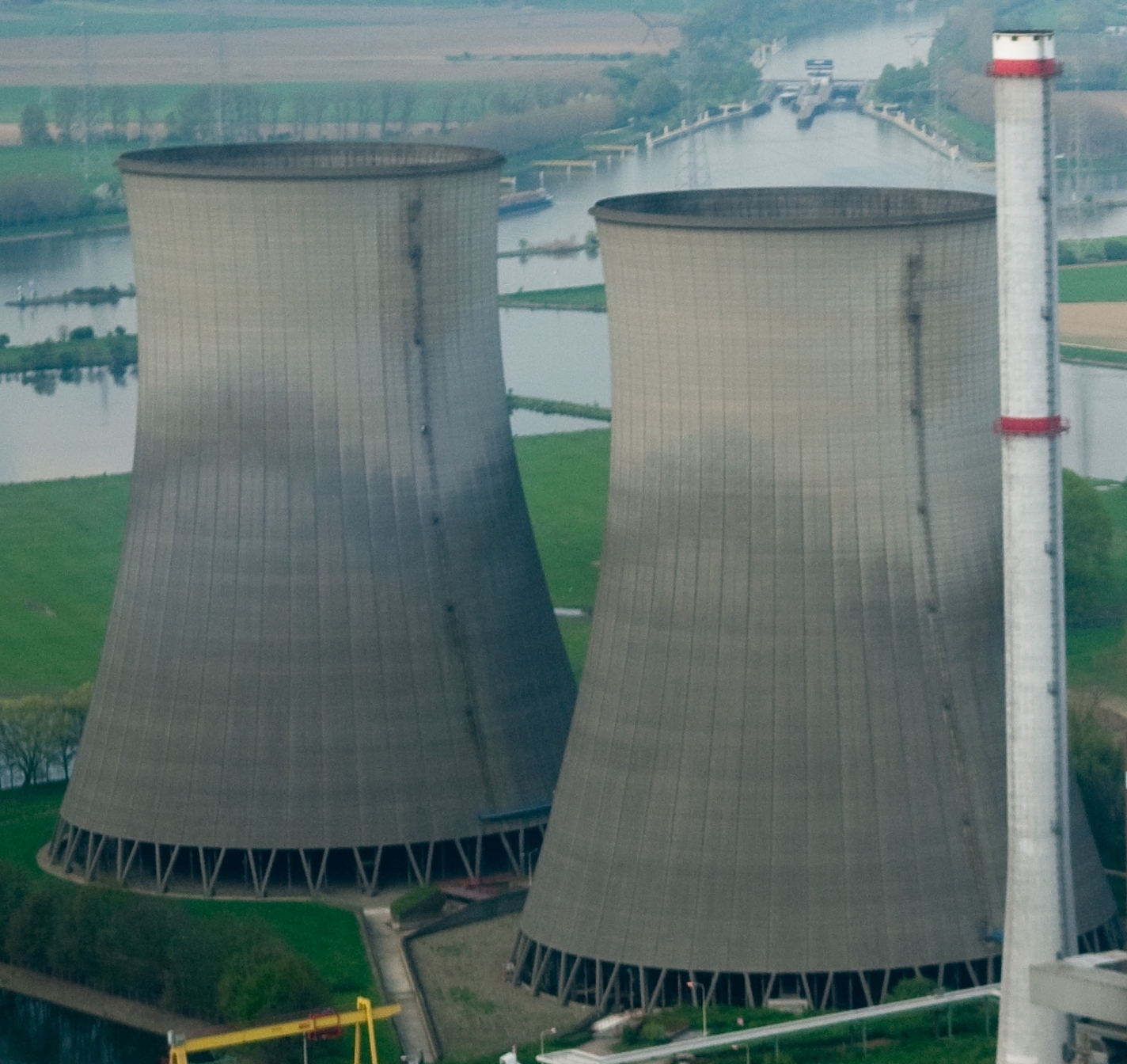
| 17:57, 18 July 2013 | Cooling Towers.jpg (file) |  |
1.12 MB | This picture is a part of http://commons.wikimedia.org/wiki/File:Essent_Clauscentrale_Maasbracht.jpg | 1 |
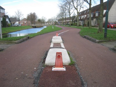
| 12:48, 29 December 2012 | SumpBuster.jpg (file) |  |
56 KB | Sump buster on a cycleway (Schonenburgseind, Houten, The Netherlands) | 1 |
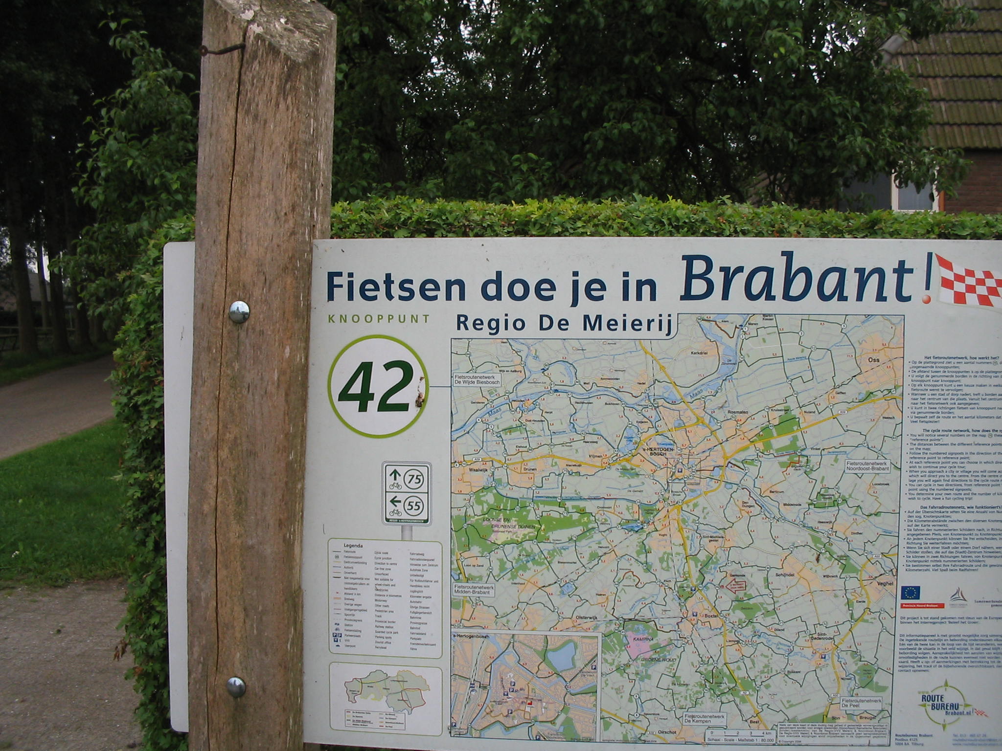
| 20:16, 10 November 2011 | Knooppunt FRN Den Bosch.JPG (file) |  |
494 KB | Borden zoals ze op de knooppunten staan in fietsroutenetwerk De Meierij / 's-Hertogenbosch. | 1 |
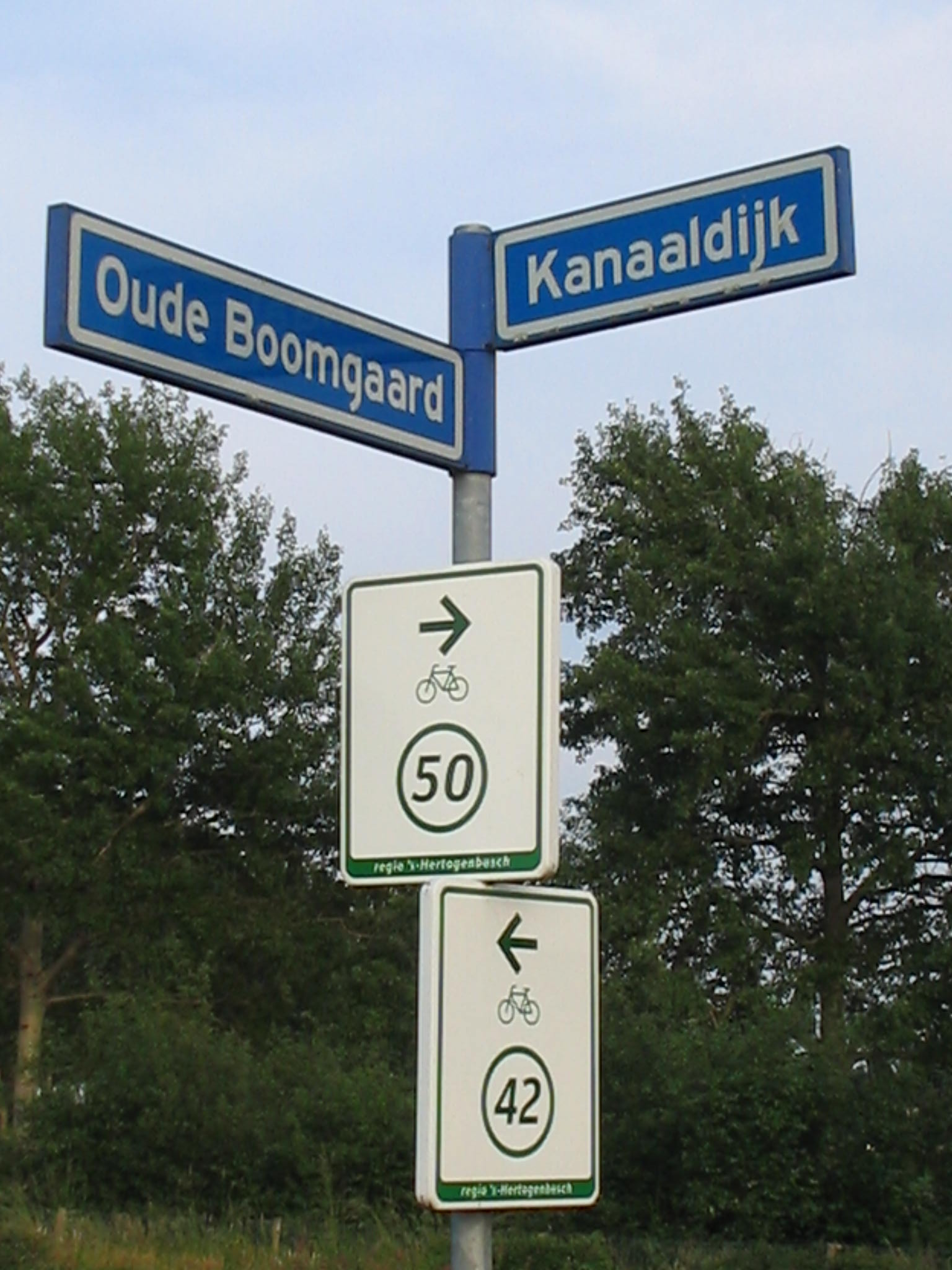
| 20:14, 10 November 2011 | Onderweg FRN Den Bosch.JPG (file) |  |
286 KB | Bordjes zoals ze onderweg langs de routes staan in fietsroutenetwerk De Meierij / 's-Hertogenbosch. | 1 |
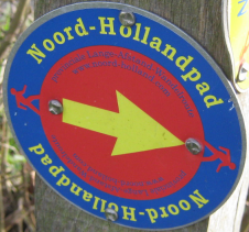
| 17:31, 26 April 2011 | N-Hp-blauw.png (file) |  |
265 KB | South to north trail mark for the "Noord-Hollandpad", a Dutch hiking route. | 1 |
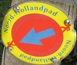
| 17:29, 26 April 2011 | N-Hp-geel.png (file) |  |
303 KB | North to south trail mark for the "Noord-Hollandpad", a Dutch hiking route. | 1 |
| 20:51, 12 September 2010 | LAWsticker.png (file) |  |
213 KB | Trail mark for national hiking routes in various countries in Europe. | 1 |
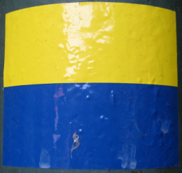
| 20:46, 12 September 2010 | StreekpadSticker.png (file) |  |
149 KB | Trail mark for some Dutch regional hiking routes ("Streekpaden"). | 1 |
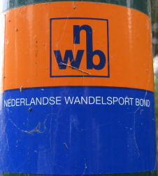
| 20:35, 12 September 2010 | NWBstickerNieuw.png (file) |  |
216 KB | Newer trail mark of the "NWB", a Dutch association of hikers. | 1 |
| 20:34, 12 September 2010 | NWBstickerOud.png (file) |  |
203 KB | Older trail mark of the "NWB", a Dutch association of hikers. | 1 |
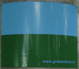
| 20:10, 12 September 2010 | GrebbeliniepadSticker.png (file) |  |
208 KB | Trail mark for the "Grebbeliniepad", a Dutch walking route. | 1 |
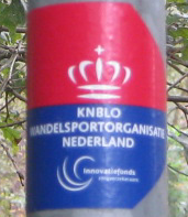
| 20:09, 5 September 2010 | KNBLOsticker.png (file) |  |
201 KB | Trail mark for KNBLO hiking routes in the Netherlands. | 1 |
| 18:14, 20 August 2010 | AkkerNwei.png (file) |  |
38 KB | Little bit of rural mapping. | 1 |
| 18:09, 20 August 2010 | FarmLanduse.png (file) |  |
3 KB | "Farm" section of the JOSM preset menu. | 1 |
| 17:37, 12 August 2010 | KoninklijkeWegSticker.png (file) |  |
152 KB | Trail mark for the "Koninklijke Weg", a Dutch walking route. | 1 |
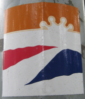
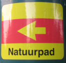
| 22:45, 11 August 2010 | NatuurpadSticker.png (file) |  |
215 KB | hiking route marker | 1 |
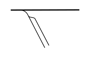
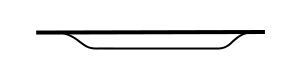
| 03:35, 30 January 2008 | Spur.png (file) |  |
4 KB | Diagram of a railroad spur | 1 |
| 03:34, 30 January 2008 | Siding.png (file) | 1 KB | Diagram of a railroad siding | 1 |