Uploads by Colin Angus Mackay
Jump to navigation
Jump to search
This special page shows all uploaded files.
| Date | Name | Thumbnail | Size | Description | Versions |
|---|---|---|---|---|---|
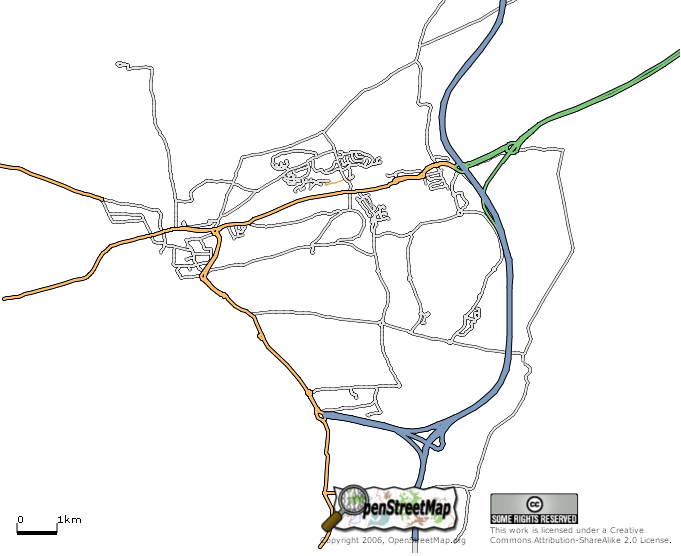
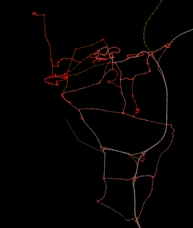
| 22:32, 7 April 2006 | Dunfermline-2006-04-08.png (file) |  |
78 KB | Latest snapshot of Dunfermline from the database. Captured on 7th April 2006. | 1 |
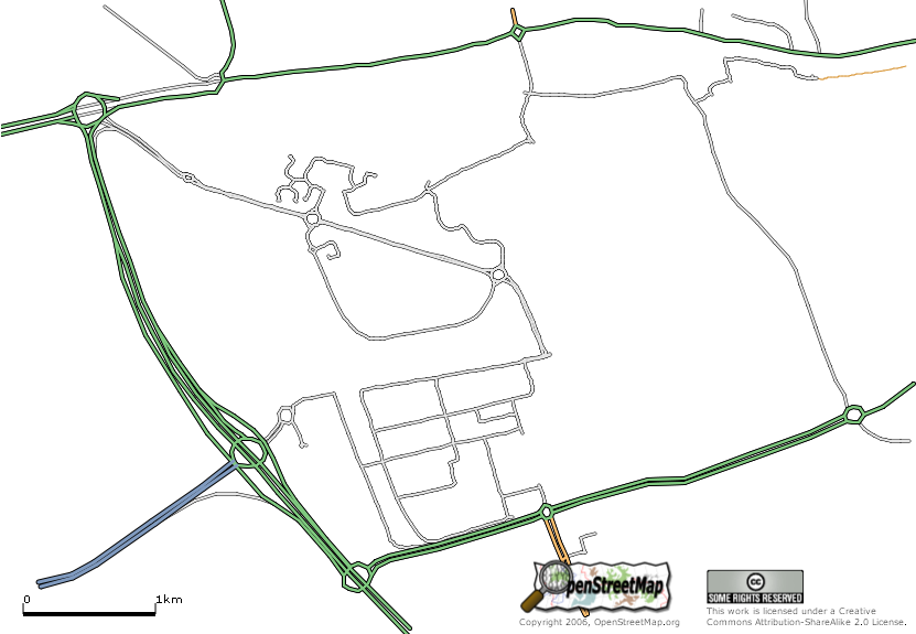
| 18:10, 29 March 2006 | Edinburgh-A71-A8-B701-2006-03-29.png (file) |  |
98 KB | The area is part of the City of Edinburgh roughly deliniated by the City of Edinburgh Bypass (A720) to the west, the A8 to the north, the A71 to the south with the B701 running through the middle (not yet mapped) | 1 |
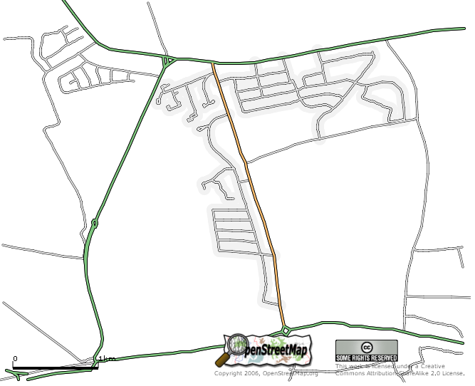
| 17:31, 29 March 2006 | Edinburgh-A8-A90-Drum-Brae-2006-03-29.png (file) |  |
83 KB | Part of Edinburgh. The area roughly deliniated by the A90 to the north and the A8 to the South with the Maybury Road (west), Drum Brae (middle) and Clermiston Road (east) (which run in a north-south direction) | 1 |
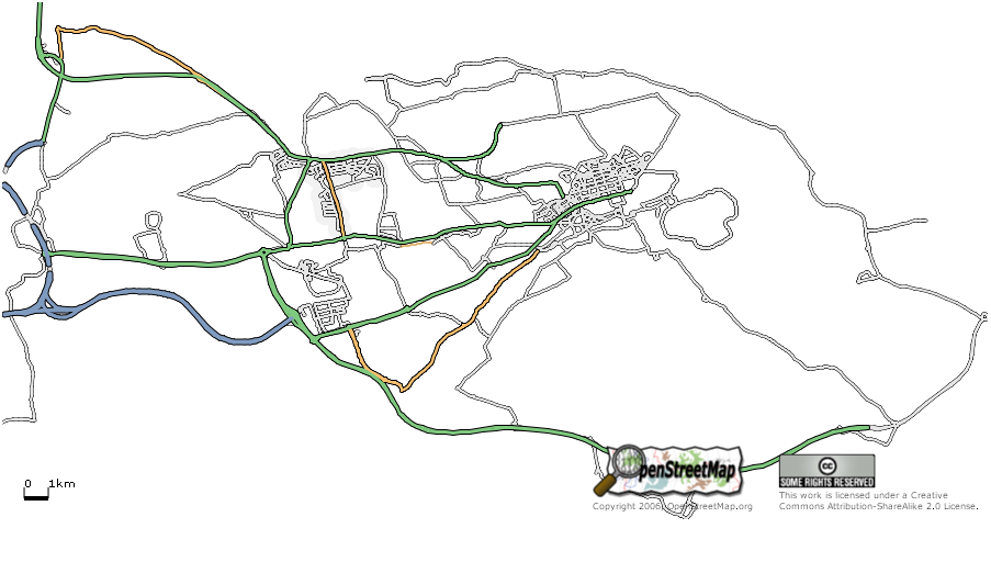
| 16:51, 29 March 2006 | Edinburgh-2006-03-29.png (file) |  |
94 KB | Snapshot of the database for the City of Edinburgh using osmarender. | 1 |
| 00:09, 15 March 2006 | Dunfermline-2006-03-14.PNG (file) |  |
25 KB | This is a graphic example of the coverage of Dunfermline & Rosyth on 14th March, 2006 | 1 |