Uploads by DavidDean
Jump to navigation
Jump to search
This special page shows all uploaded files.
| Date | Name | Thumbnail | Size | Description | Versions |
|---|---|---|---|---|---|
| 05:57, 1 November 2010 | Forest lake cake.png (file) |  |
1.37 MB | 1 | |
| 02:16, 16 August 2010 | Strathpine2010Slices.png (file) |  |
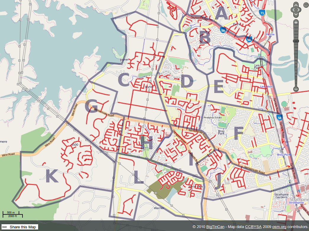
817 KB | 1 | |
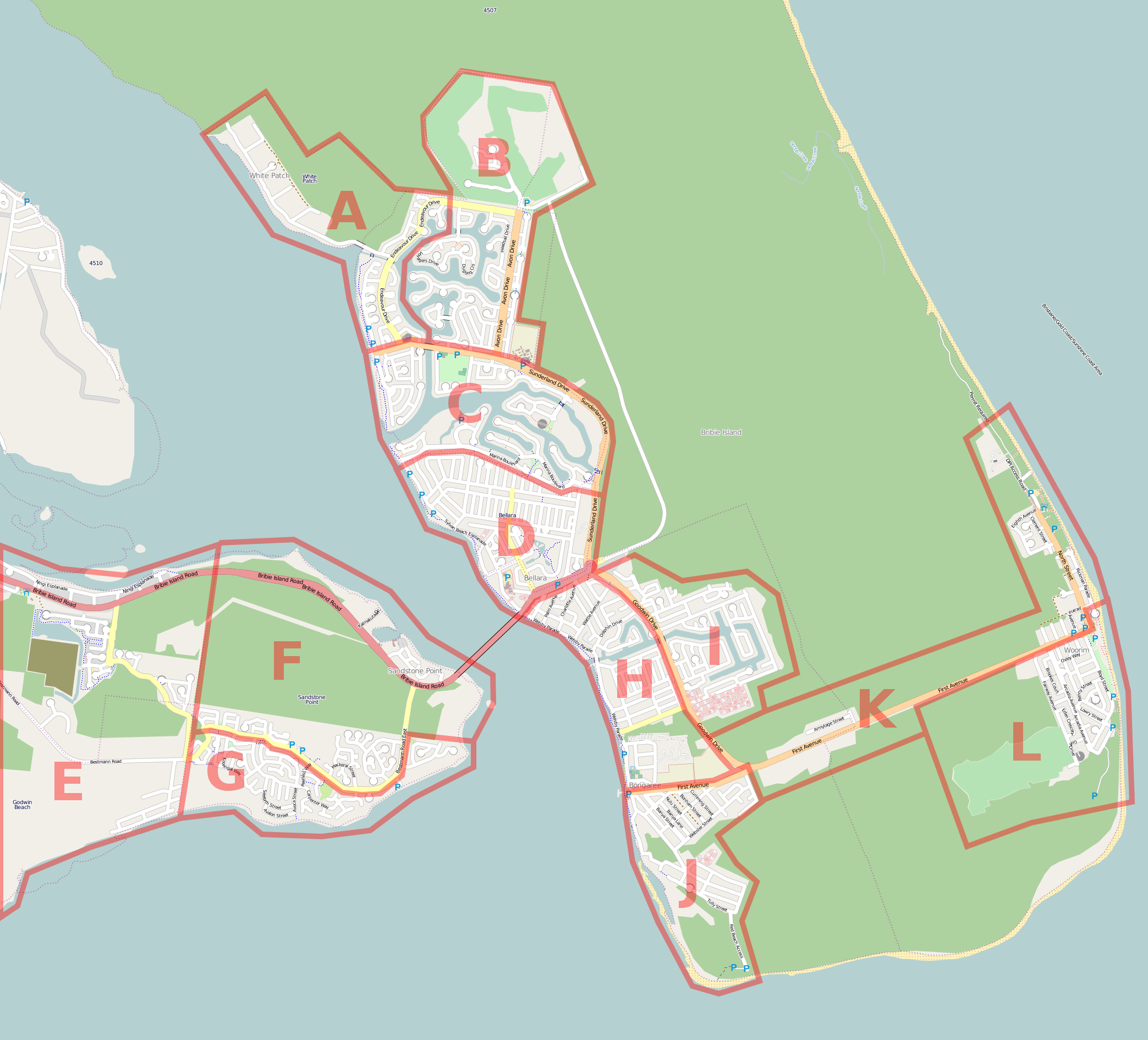
| 04:49, 22 June 2010 | Bribie Island Mapping Party.png (file) |  |
1.1 MB | 1 | |
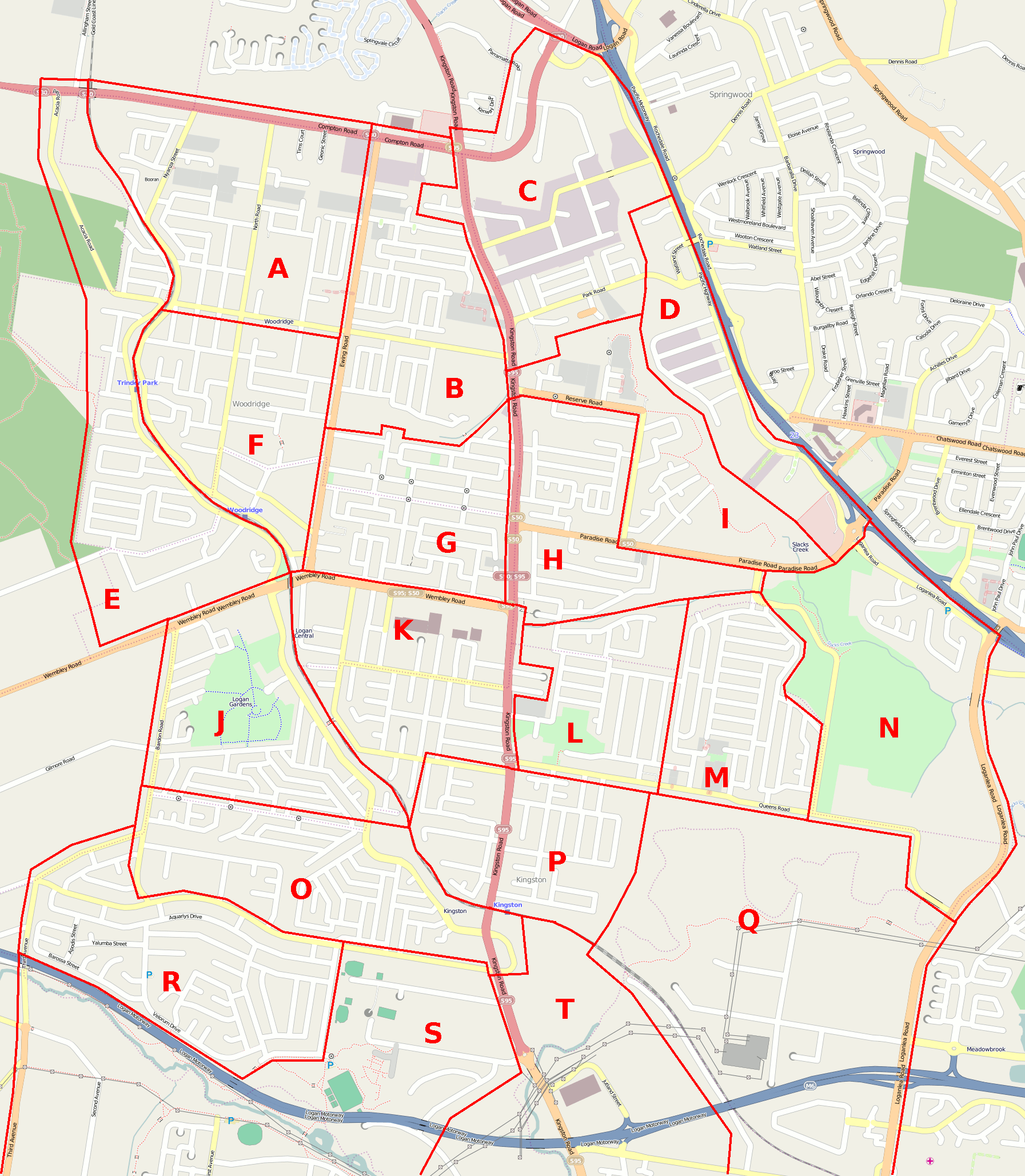
| 12:44, 18 January 2010 | Logan Mapping Party.png (file) |  |
472 KB | 1 | |
| 04:49, 13 November 2009 | JOSM-NearMap.png (file) |  |
553 KB | Tracing buildings is easy with NearMap high resolution imagery. | 1 |
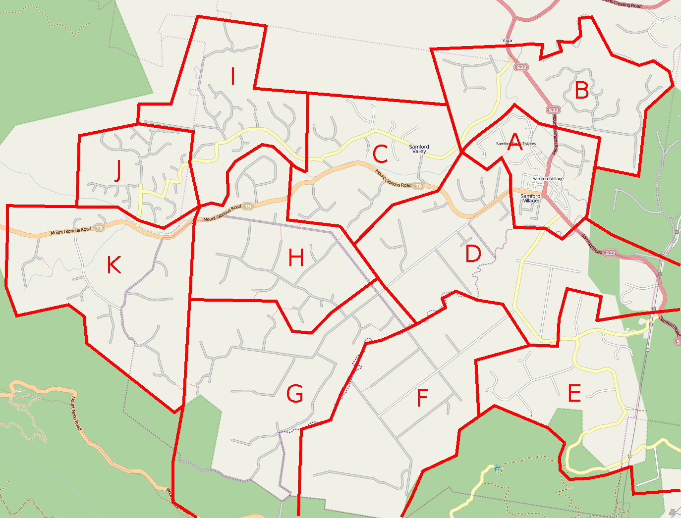
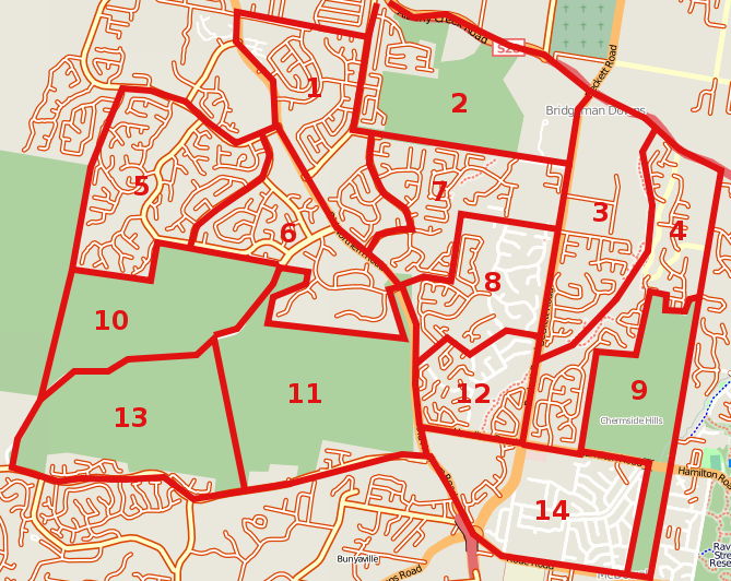
| 05:18, 19 October 2009 | Samford Mapping Party.png (file) |  |
136 KB | Cake diagram for Samford Mapping Party | 1 |
| 09:45, 10 October 2009 | Maclaey Island Mapping.png (file) |  |
39 KB | removed mouse pointer | 5 |
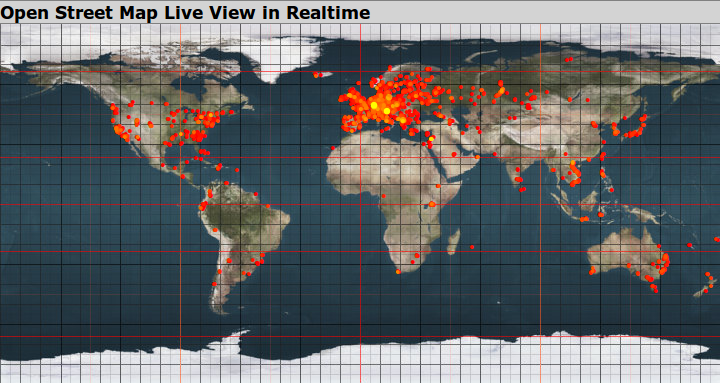
| 00:12, 16 June 2009 | Osmlive 24hrs.png (file) |  |
401 KB | This is what the [http://datenkueche.com/osmlive/ osmlive] service looks like after a typical 24 hours of OpenStreetMap editing worldwide. | 1 |
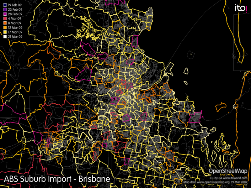
| 07:04, 22 March 2009 | ABSSuburbImport.png (file) |  |
595 KB | Progress of ABS Suburb Import in Brisbane as at 22 Mar 2008 | 1 |
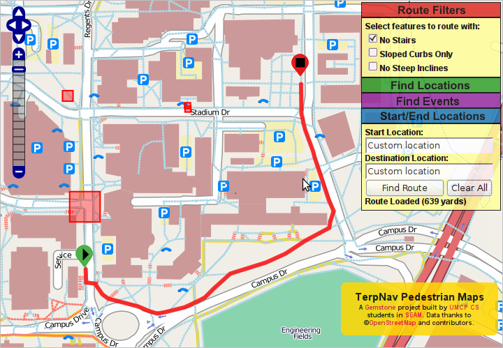
| 01:59, 9 February 2009 | TerpNavPedestrianMappingSystem.png (file) |  |
250 KB | TerpNav Pedestrian Mapping System | 1 |
| 05:27, 3 January 2009 | BrisbaneMapping200902.png (file) |  |
275 KB | 1 | |
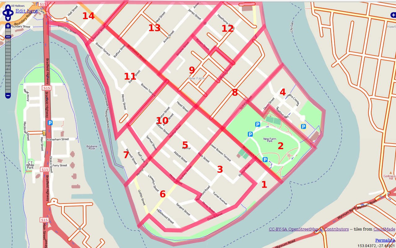
| 14:36, 9 September 2008 | 20081008 - Newfarmmarathon.png (file) |  |
567 KB | Cake diagram for 1st Brisbane Mapping Marathon | 1 |
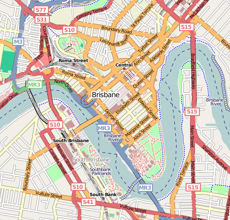
| 13:45, 15 July 2008 | Brisbane centre.png (file) |  |
242 KB | Mapnick @ 15 July 2008 | 2 |
| 10:22, 2 January 2008 | Geocaching with OSMify.png (file) |  |
137 KB | Made the map a bit smaller to be easier to see in the thumbnail. | 2 |