Uploads by Dmgroom
Jump to navigation
Jump to search
This special page shows all uploaded files.
| Date | Name | Thumbnail | Size | Description | Versions |
|---|---|---|---|---|---|
| 11:00, 2 November 2011 | Coastline error checker screenshot.png (file) |  |
37 KB | updated to 1 Nov 2011 | 3 |
| 14:36, 22 July 2011 | Hedge-rendering.png (file) |  |
9 KB | example rendering of hedge as line and area | 1 |
| 16:57, 15 November 2009 | Stile-pos.png (file) |  |
2 KB | shhow positioning of stile | 1 |
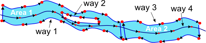
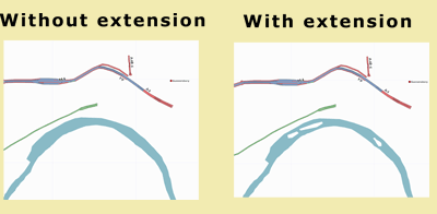
| 10:40, 9 November 2008 | Possible-river-relationship.png (file) |  |
13 KB | 3 | |
| 12:30, 13 February 2008 | Make river.png (file) | 45 KB | 2 | ||
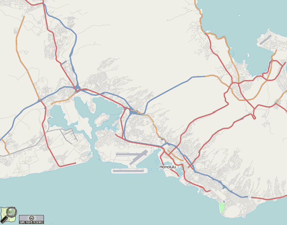
| 12:23, 16 November 2007 | Honolulu.png (file) |  |
132 KB | Honolulu, Hawaii. After TIGER import, and with detailed Mapnik coastline. | 1 |
| 16:24, 21 October 2007 | Cairns.png (file) |  |
93 KB | Cairns, Australia, showing filled sea ares and swamp (rendered using a custom version of Osmarender) | 2 |
| 15:26, 21 October 2007 | Darwin.png (file) |  |
81 KB | Darwin, filled filled sea area, and swamp (rendered using a custom version of osmarender) | 2 |
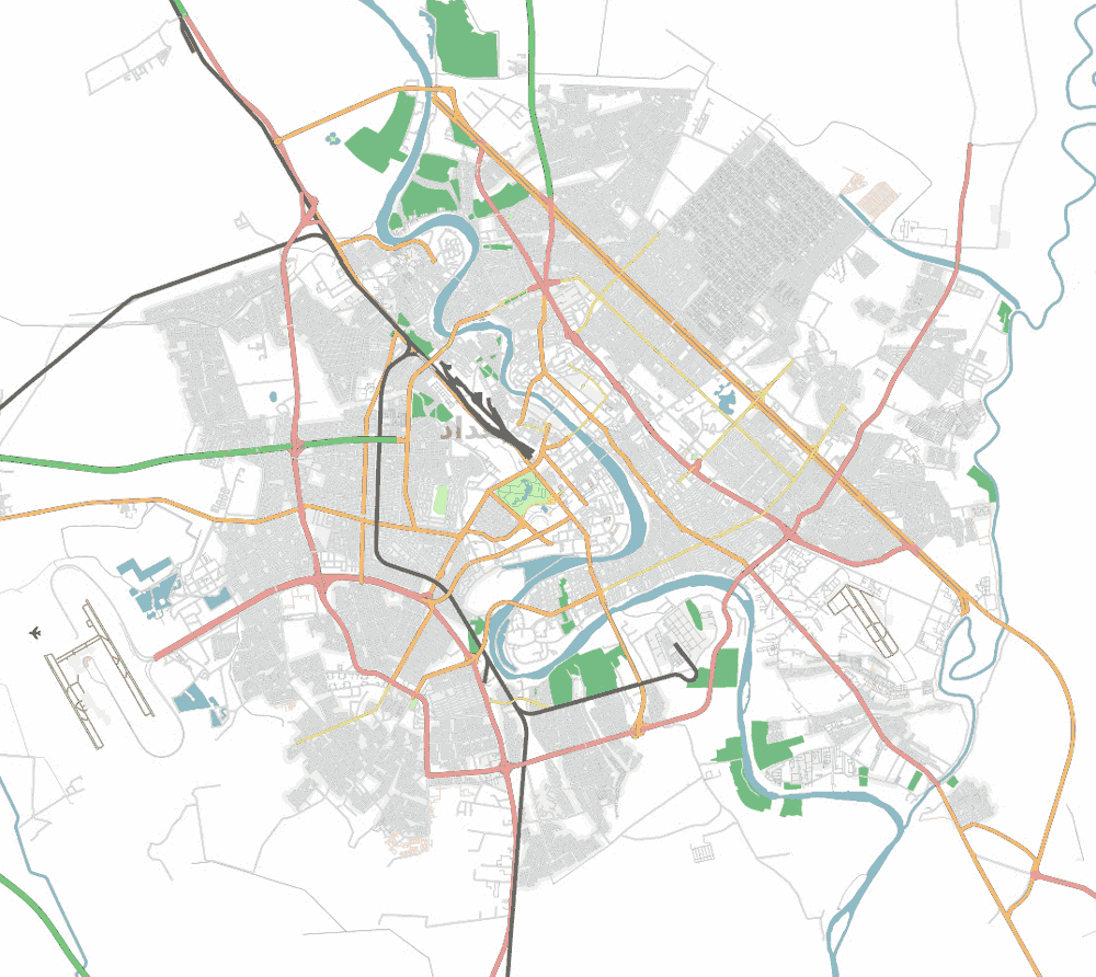
| 13:12, 5 May 2007 | Baghdad05-05-07.png (file) |  |
147 KB | Baghdad, Iraq, as at 5 May 2007. All roads in the greater Baghdad area which are visible from Yahoo imagery have now been mapped into OSM. | 1 |
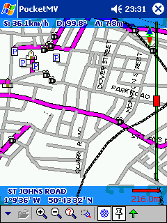
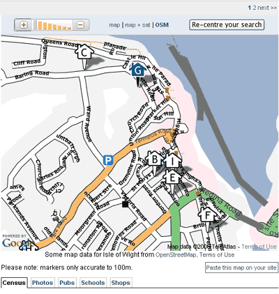
| 16:12, 27 April 2007 | PocketMVRyde.png (file) |  |
16 KB | Screenshot from HP Ipaq running Pocket MV displaying OSM data | 1 |
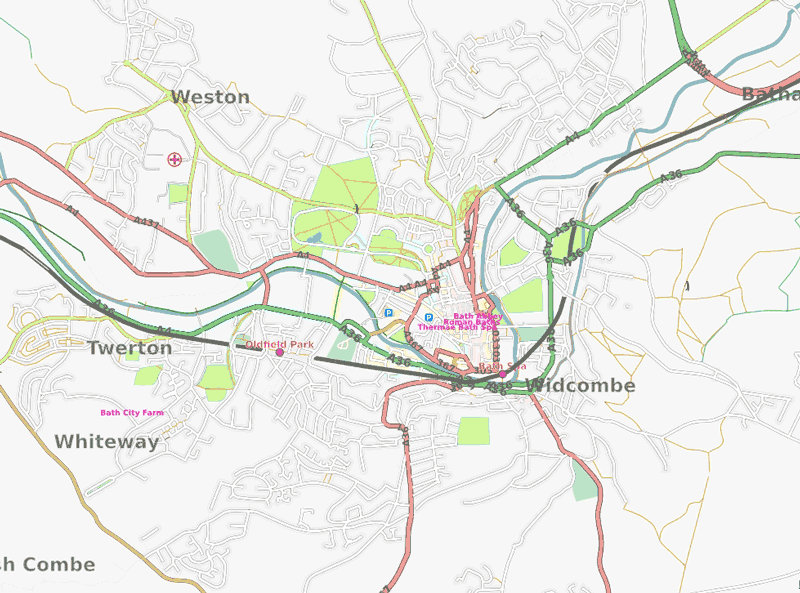
| 23:06, 31 March 2007 | Bath-city.png (file) |  |
108 KB | 1 | |
| 17:20, 22 March 2007 | Baghdad22-3-07.png (file) |  |
121 KB | 1 | |
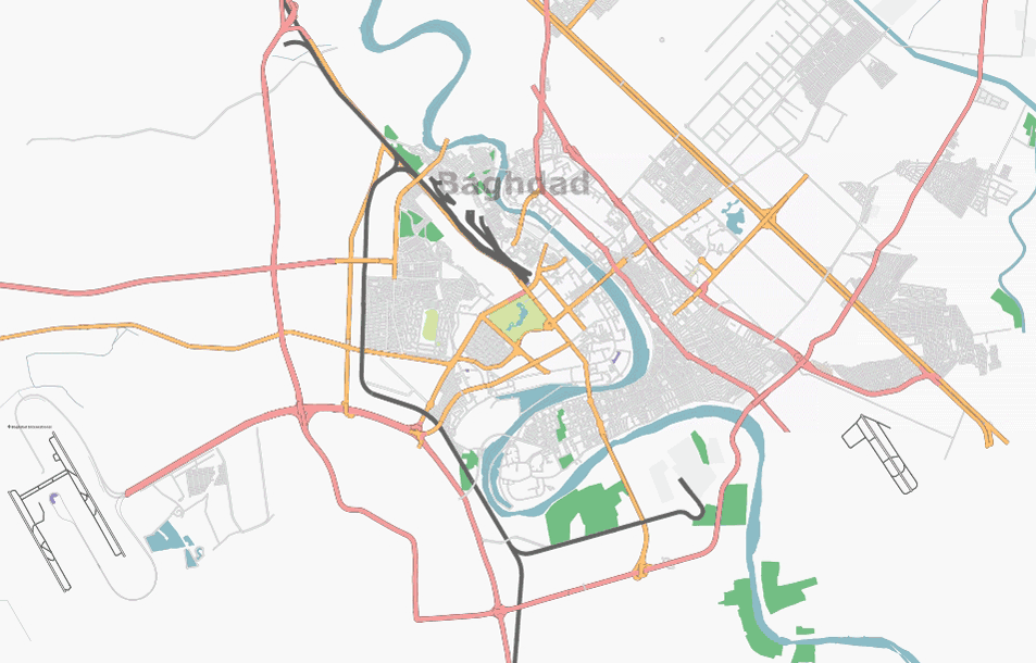
| 16:49, 21 February 2007 | Baghdad-210207.png (file) |  |
130 KB | Baghdad as at 21 Feb 2007 | 1 |
| 10:23, 5 February 2007 | Baghdad.png (file) |  |
124 KB | Screen shot of the city of Baghdad rendered and served using Osmarender and tiles@home. | 2 |
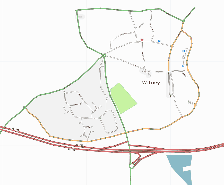
| 15:29, 14 January 2007 | Witney.png (file) |  |
31 KB | update, with some park, water, and residential areas | 2 |
| 01:19, 12 November 2006 | Smallislands.png (file) |  |
10 KB | rendering of islands in rivers | 1 |
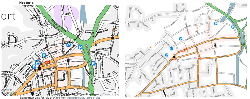
| 16:22, 26 October 2006 | Compare-nestoria.gif (file) |  |
77 KB | Comparision of OSM Nestoria tile with "standard" osmarender rendering | 1 |
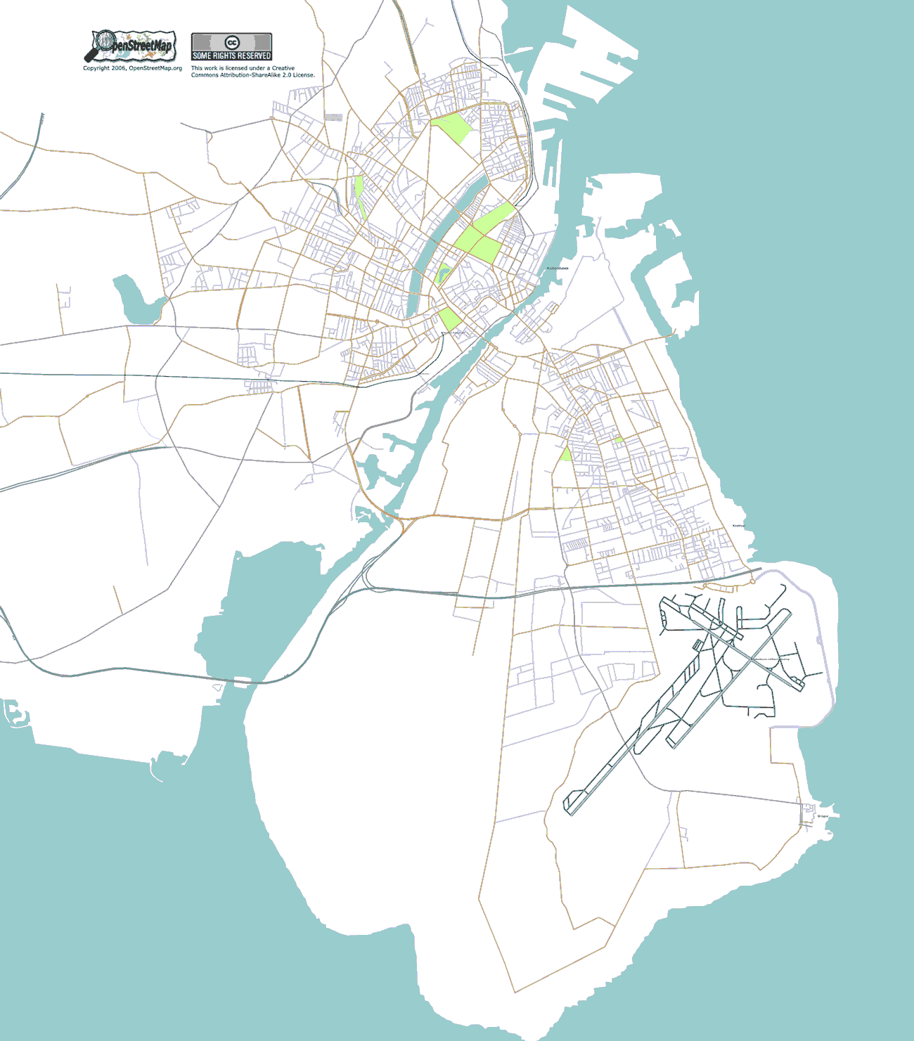
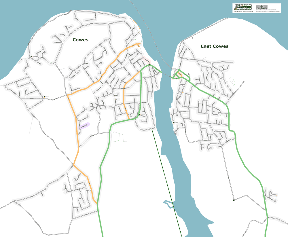
| 22:54, 22 October 2006 | Nestoria-cowes.png (file) |  |
37 KB | Cowes, Isle of Wight, shown as a layer in nestoria.co.uk | 1 |
| 17:29, 8 October 2006 | Copenhagen-8-10-2006.png (file) |  |
118 KB | Copenhagen as at 8-10-2006 | 1 |
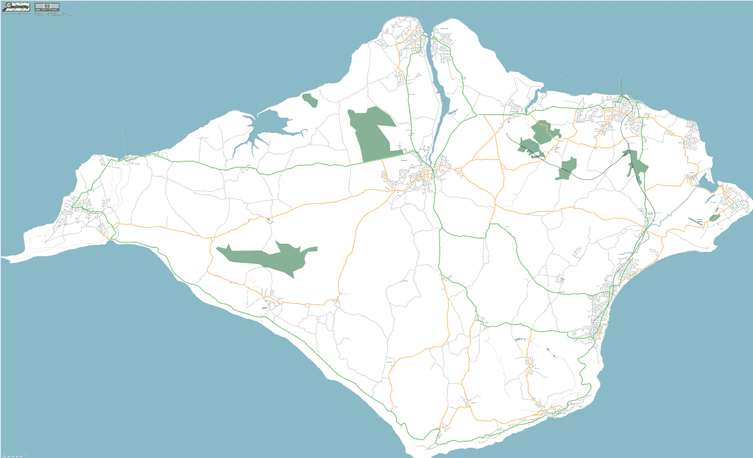
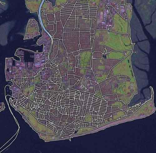
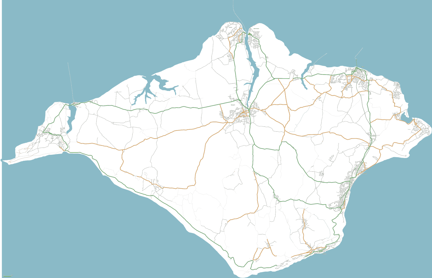
| 22:46, 27 September 2006 | IsleOfWight20060927.png (file) |  |
87 KB | Isle of Wight, UK. As at 27 September 2006. All known roads completed, and some areas showing forest. | 1 |
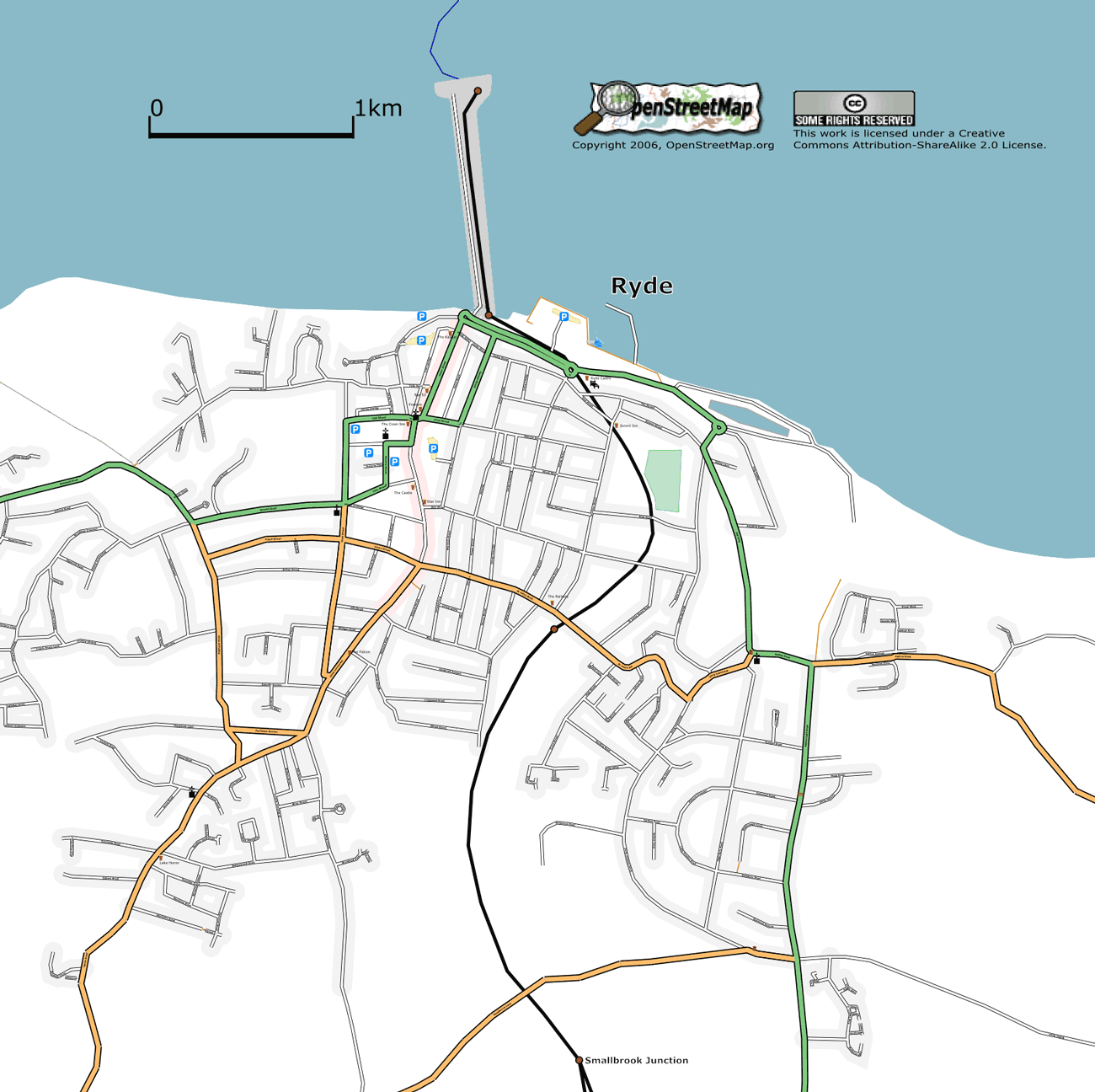
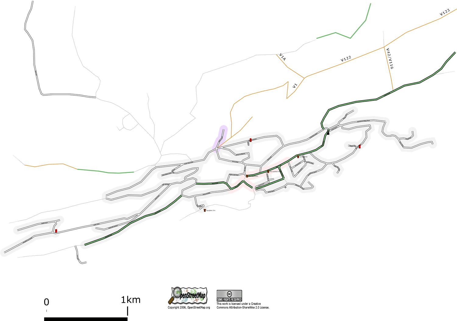
| 23:32, 20 September 2006 | Ryde.png (file) |  |
201 KB | ferry route, and new areas added | 3 |
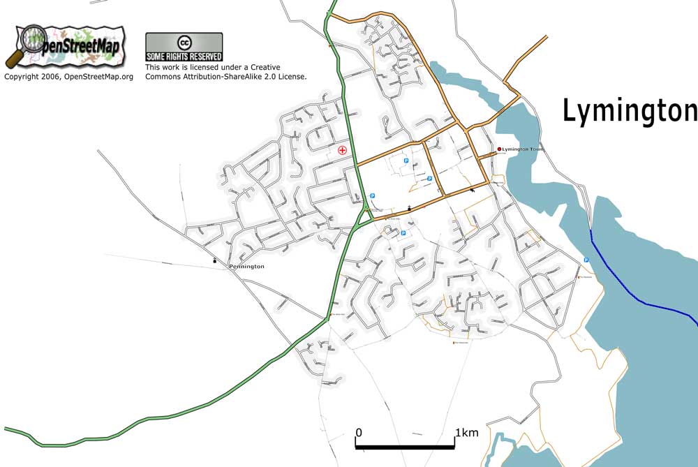
| 00:15, 12 September 2006 | Lymington.jpg (file) |  |
59 KB | Lymington, UK. As at 11 September 2006 | 1 |
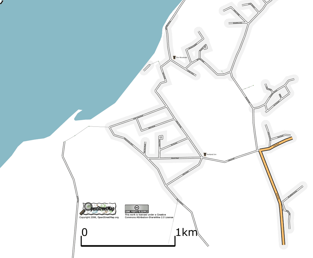
| 13:38, 23 August 2006 | Portsmouth-segments.jpg (file) |  |
34 KB | Portsmouth, show segments mapped as at 23 July 2006. | 1 |
| 14:14, 21 August 2006 | Binstead.png (file) |  |
93 KB | Binstead, Isle of Wight, UK. As at 21 August 2006. | 1 |
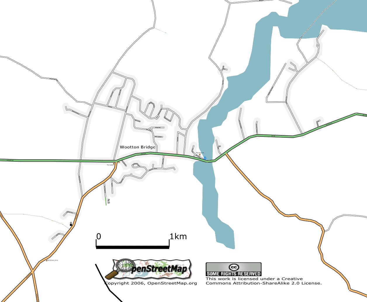
| 14:02, 21 August 2006 | Wootton.png (file) |  |
91 KB | Wootton Bridge, Isle of Wight, UK. As at 21 August 2006. | 2 |
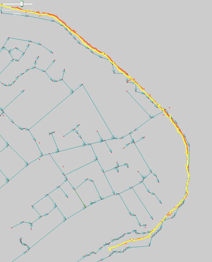
| 14:19, 17 August 2006 | Bembridge coast.png (file) |  |
17 KB | comparison of one kilometer of coastline in Bembridge with PGS data | 1 |
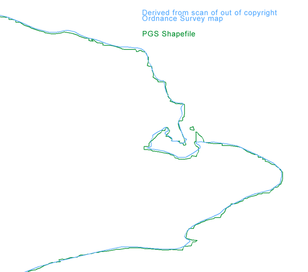
| 09:56, 15 August 2006 | ComparePGS.png (file) |  |
17 KB | Comparison of PGS Shapefile coastline data with outline of coast taken from out of copyright Ordnance Survey map | 1 |
| 13:33, 4 August 2006 | Chairlift.png (file) |  |
1 KB | possible marker symbol for chairlift rendering | 1 |
| 17:33, 3 August 2006 | Campsite.png (file) |  |
465 bytes | possible symbol for camp site | 1 |
| 23:57, 1 August 2006 | Symbol synagogue.png (file) |  |
323 bytes | symbol for rendering of synagogue | 1 |
| 23:57, 1 August 2006 | Symbol mosque.png (file) |  |
569 bytes | symbolf for rendering of mosque | 1 |
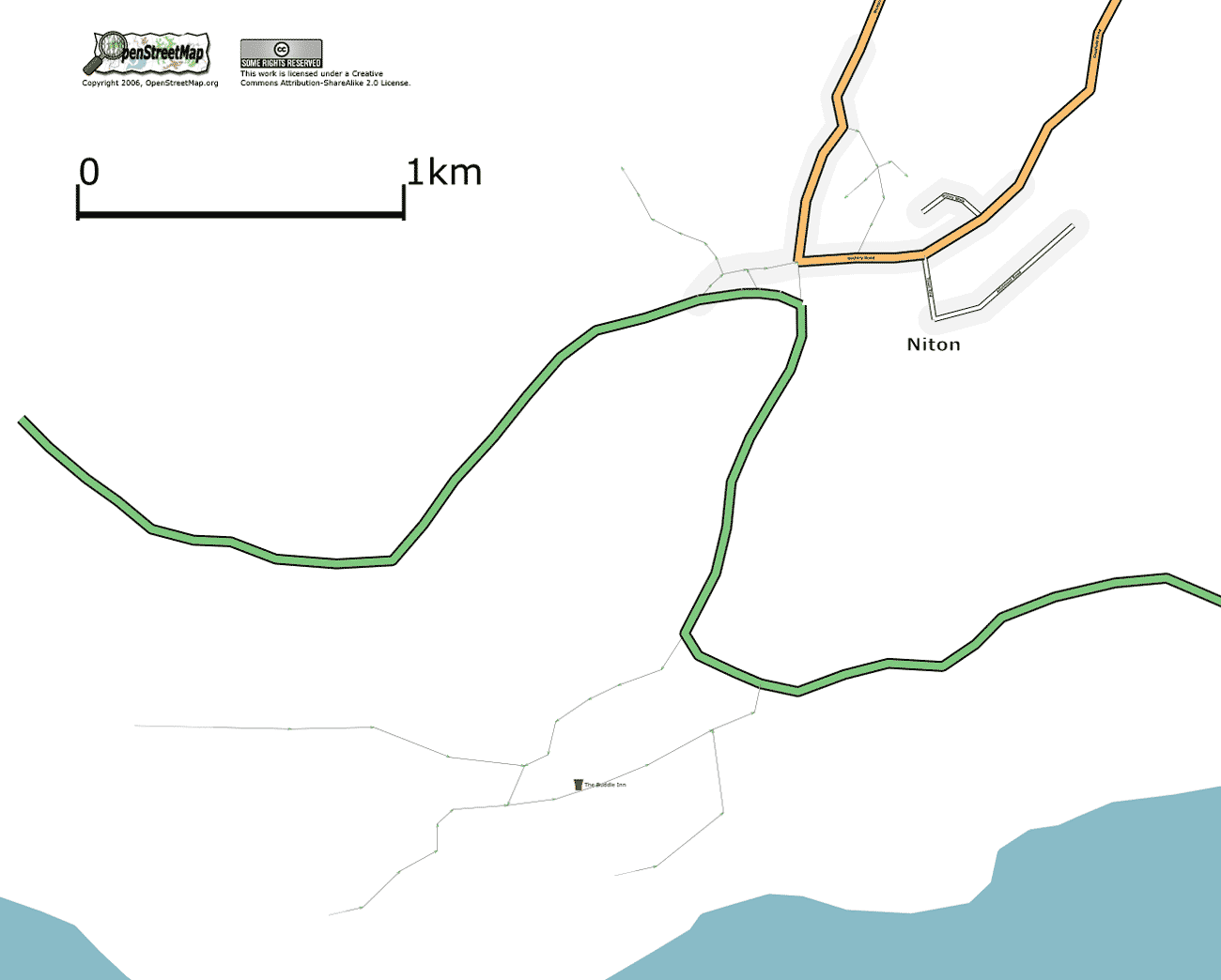
| 15:05, 30 July 2006 | Niton.png (file) |  |
41 KB | Niton, Isle of Wight, UK. As at 30 July 2006. | 1 |
| 14:44, 30 July 2006 | Gurnard.png (file) |  |
52 KB | Gurnard, Isle of Wight, UK. As at 30 July 2006. | 1 |
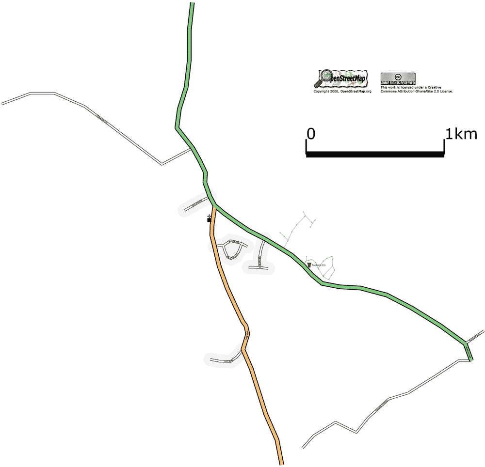
| 13:23, 30 July 2006 | Rookley.png (file) |  |
29 KB | Rookley, Isle of Wight, UK. As at 30 July 2006. | 1 |
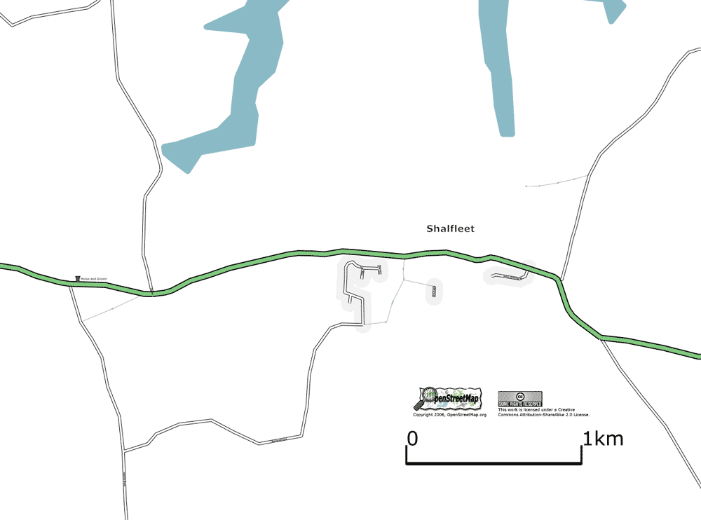
| 13:18, 30 July 2006 | Shalfleet.png (file) |  |
27 KB | Shalfleet, Isle of Wight, UK. As at 30 July 2006. | 1 |
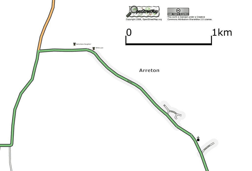
| 00:22, 30 July 2006 | Arreton.png (file) |  |
22 KB | Arreton, Isle of Wight, UK. As at 29 July 2006. | 1 |
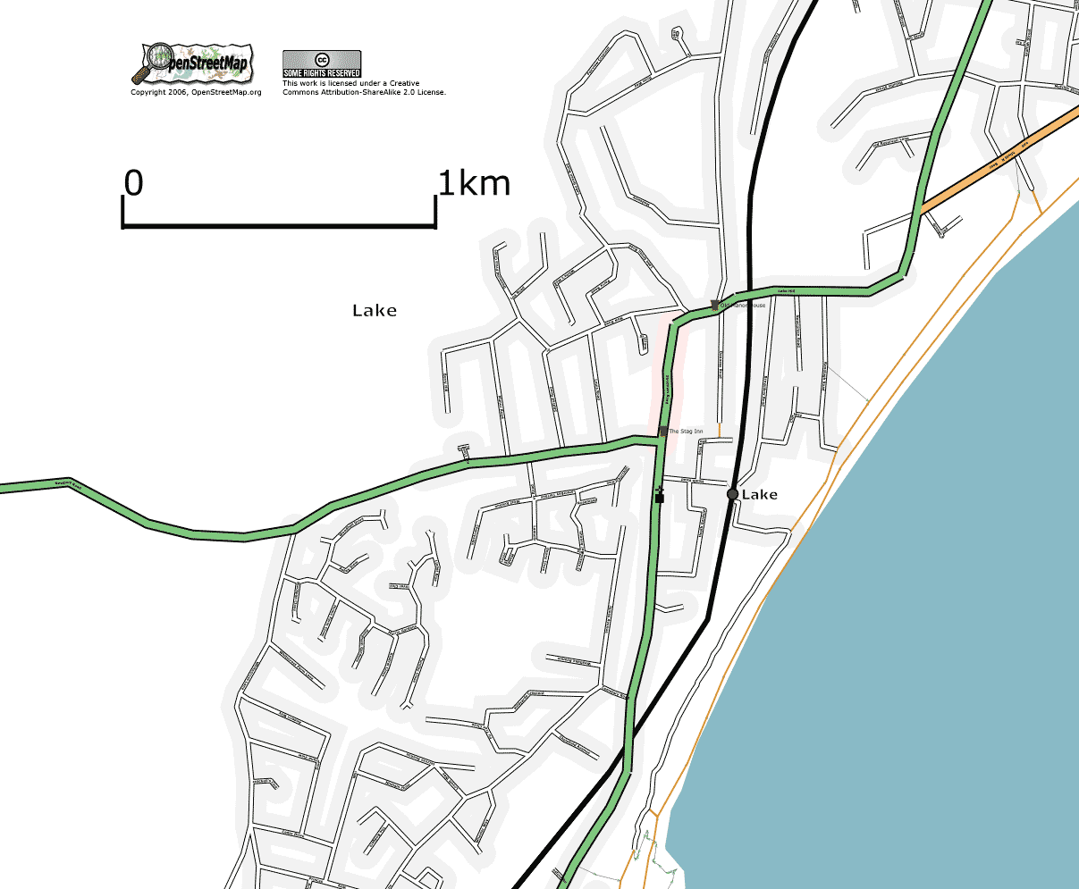
| 00:02, 30 July 2006 | LakeIW.png (file) |  |
82 KB | lake, Isle of Wight, UK. As at 29 July 2006. | 1 |
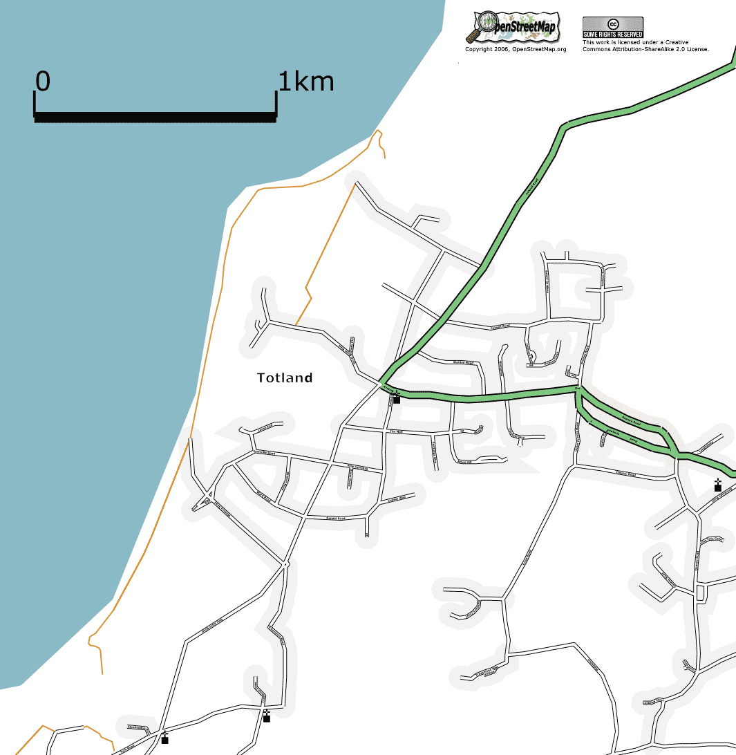
| 23:27, 29 July 2006 | Totland.png (file) |  |
64 KB | Totland, Isle of Wight, UK. As at 29 July 2006. | 1 |
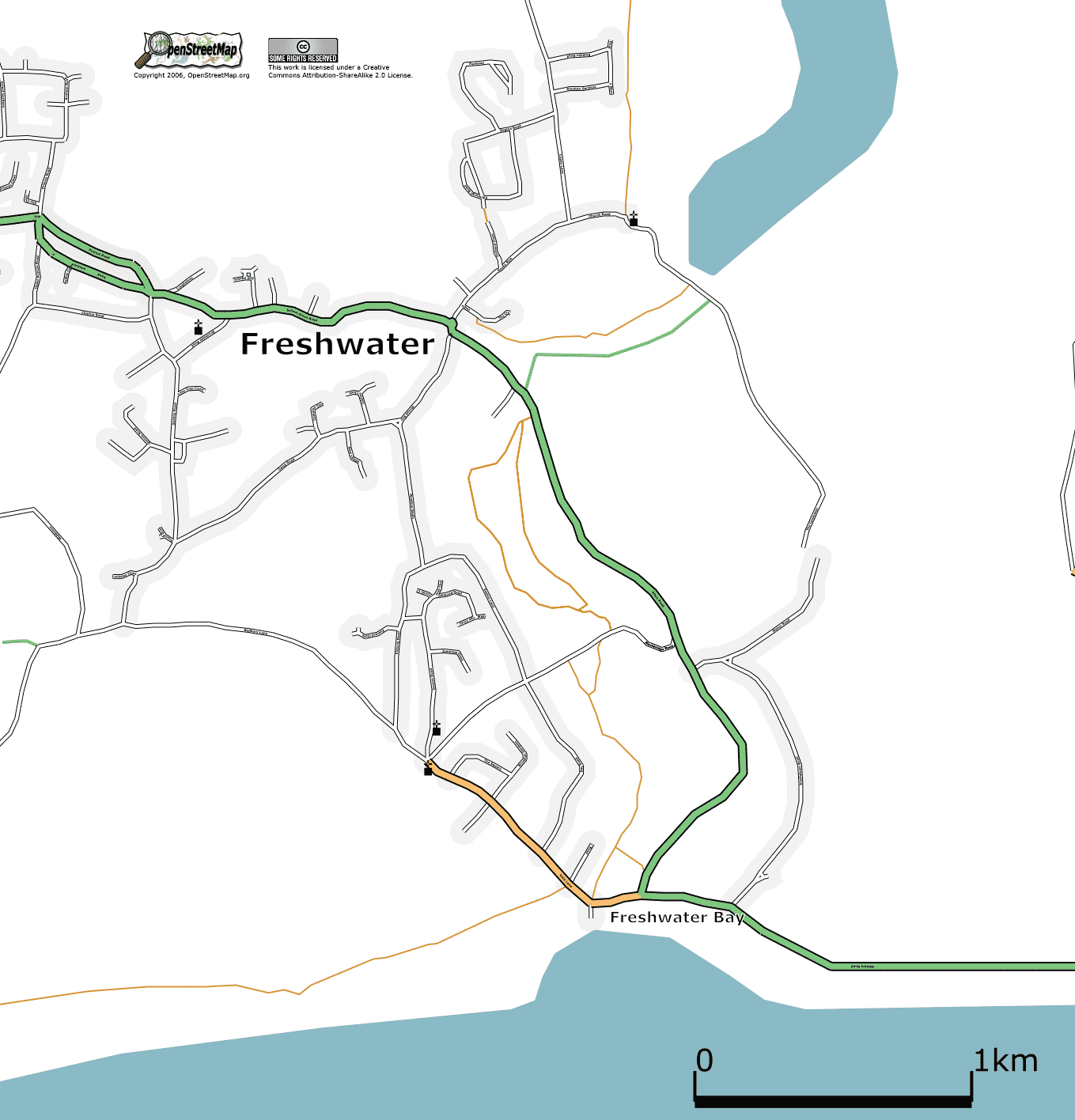
| 23:24, 29 July 2006 | Freshwater.png (file) |  |
90 KB | Freshwater, Isle of Wight, UK. As at 29 July 2006. | 1 |
| 22:57, 29 July 2006 | Chale.png (file) |  |
50 KB | Chale, Isle of Wight, UK. As at 29 July 2006. | 1 |
| 22:36, 29 July 2006 | Shorwell.png (file) |  |
21 KB | Shorwell, Isle of Wight, UK. As at 29 July 2006. | 1 |
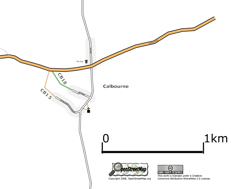
| 19:09, 29 July 2006 | Calbourne.png (file) |  |
20 KB | Calbourne, Isel of Wight, UK. As at 29 July 2006 | 1 |
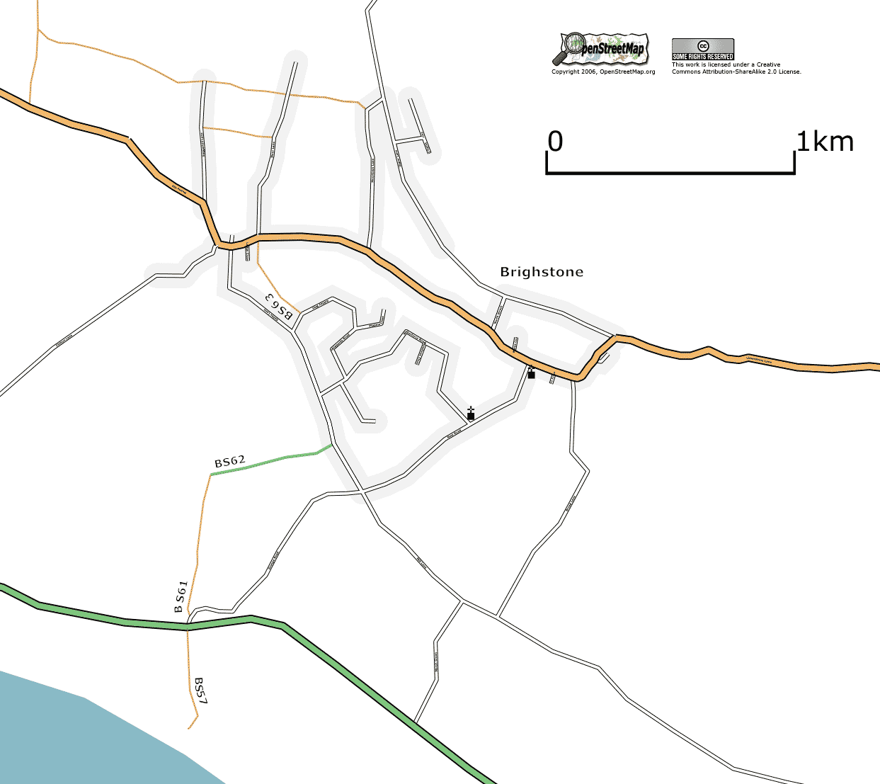
| 18:49, 29 July 2006 | Brighstone.png (file) |  |
58 KB | Brighstone, Isle of Wight, UK. As at 29 July 2006 | 1 |
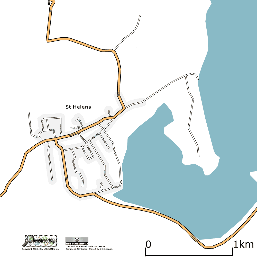
| 17:35, 28 July 2006 | Sthelens.png (file) |  |
42 KB | St Helens, Isle of Wight, UK. As at 27 July 2006 | 1 |
| 16:06, 28 July 2006 | Nettlestone.png (file) |  |
38 KB | Nettlestone, Isle of Wight, UK. As at 27 July 2006 | 1 |
| 15:40, 28 July 2006 | Godshill.png (file) |  |
27 KB | Godshill, Isle of Wight. As at 27 July 2006. | 1 |
| 22:50, 27 July 2006 | IsleOfWight20060727.png (file) |  |
92 KB | Isle of Wight as at 27 July 2007 | 1 |
| 15:34, 27 July 2006 | Cowes.png (file) |  |
86 KB | Cowes, Isle of Wight,UK. As at 27 July 2006 | 1 |
| 23:28, 23 July 2006 | Ventnor.png (file) |  |
97 KB | Ventnor, Isle of Wight, Uk. As at 23 July 2006. | 1 |
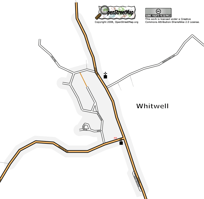
| 23:18, 22 July 2006 | Whitwell.png (file) |  |
33 KB | Whitwell, Isle of Wight. As at 23 July 2006 | 1 |