Uploads by EdLoach
Jump to navigation
Jump to search
This special page shows all uploaded files.
| Date | Name | Thumbnail | Size | Description | Versions |
|---|---|---|---|---|---|
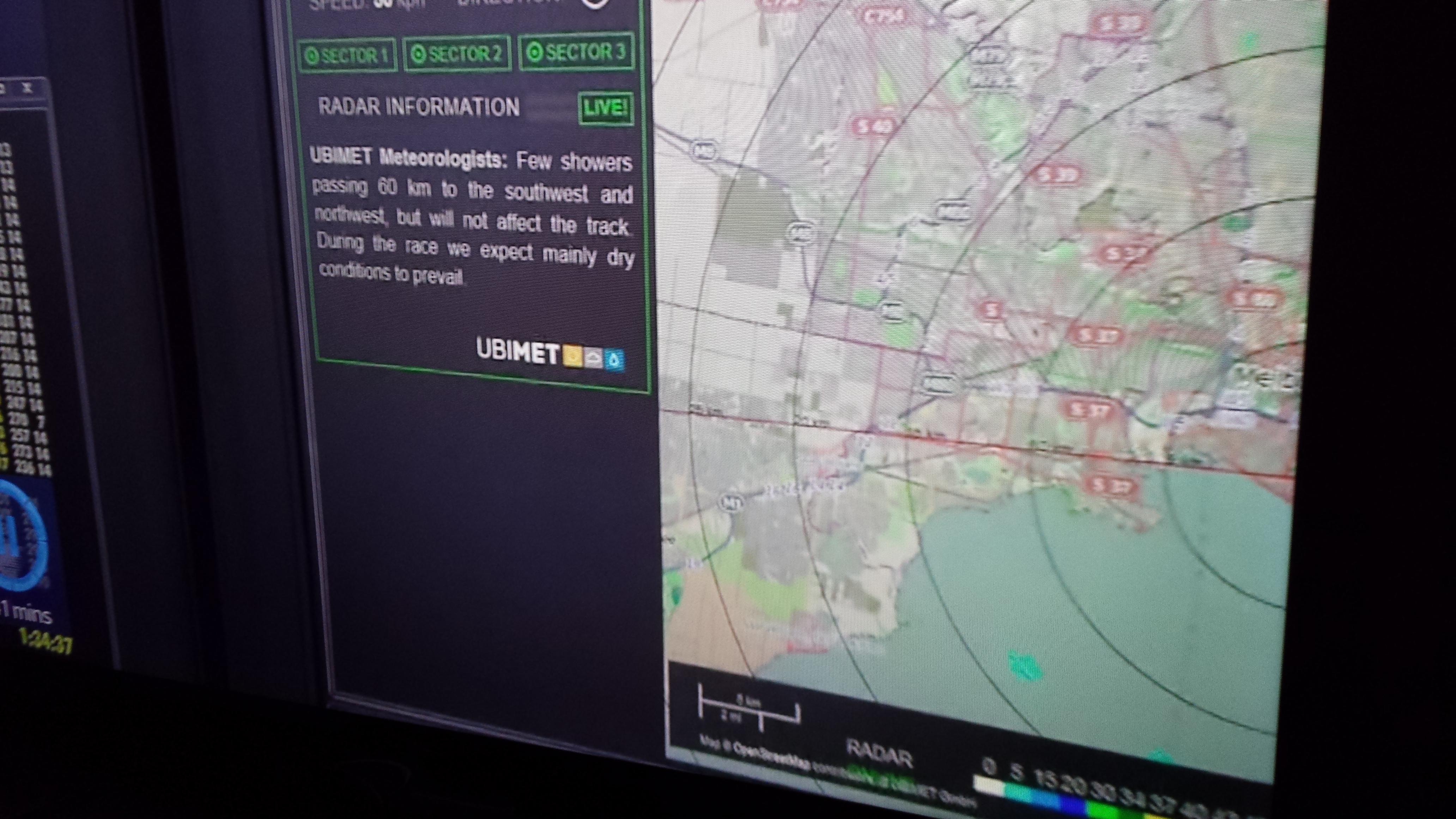
| 08:39, 17 March 2014 | UbimetUseOSMforF1WeatherRadar.jpg (file) |  |
3.08 MB | Photo of TV showing OpenStreetMap being used as background map for the weather radar at the Melbourne Formula 1 Grand Prix, 16th March 2014. | 1 |
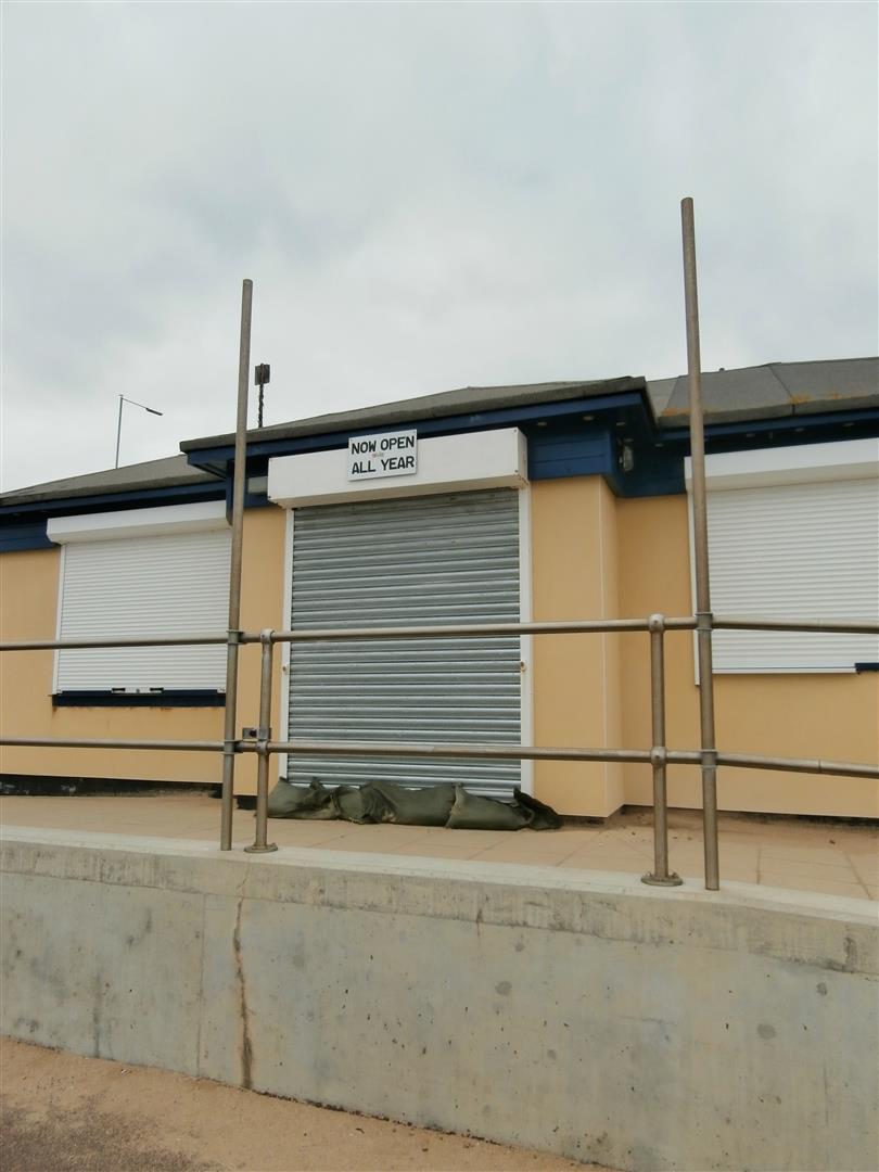
| 10:21, 4 September 2013 | Flags Café, Holland-on-Sea.jpeg (file) |  |
0 bytes | http://osm.org/go/0EHmxcOfz?m= Amused me how the sign says "Now Open All Year" yet all shutters are closed and sandbags across door entrance. Taken 23/02/2013 at 15:11 in case properties got mangled when I shrank the file for upload | 1 |
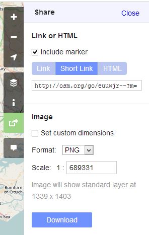
| 15:50, 9 August 2013 | Shortlink.JPG (file) |  |
29 KB | To illustrate new shortlink method | 1 |
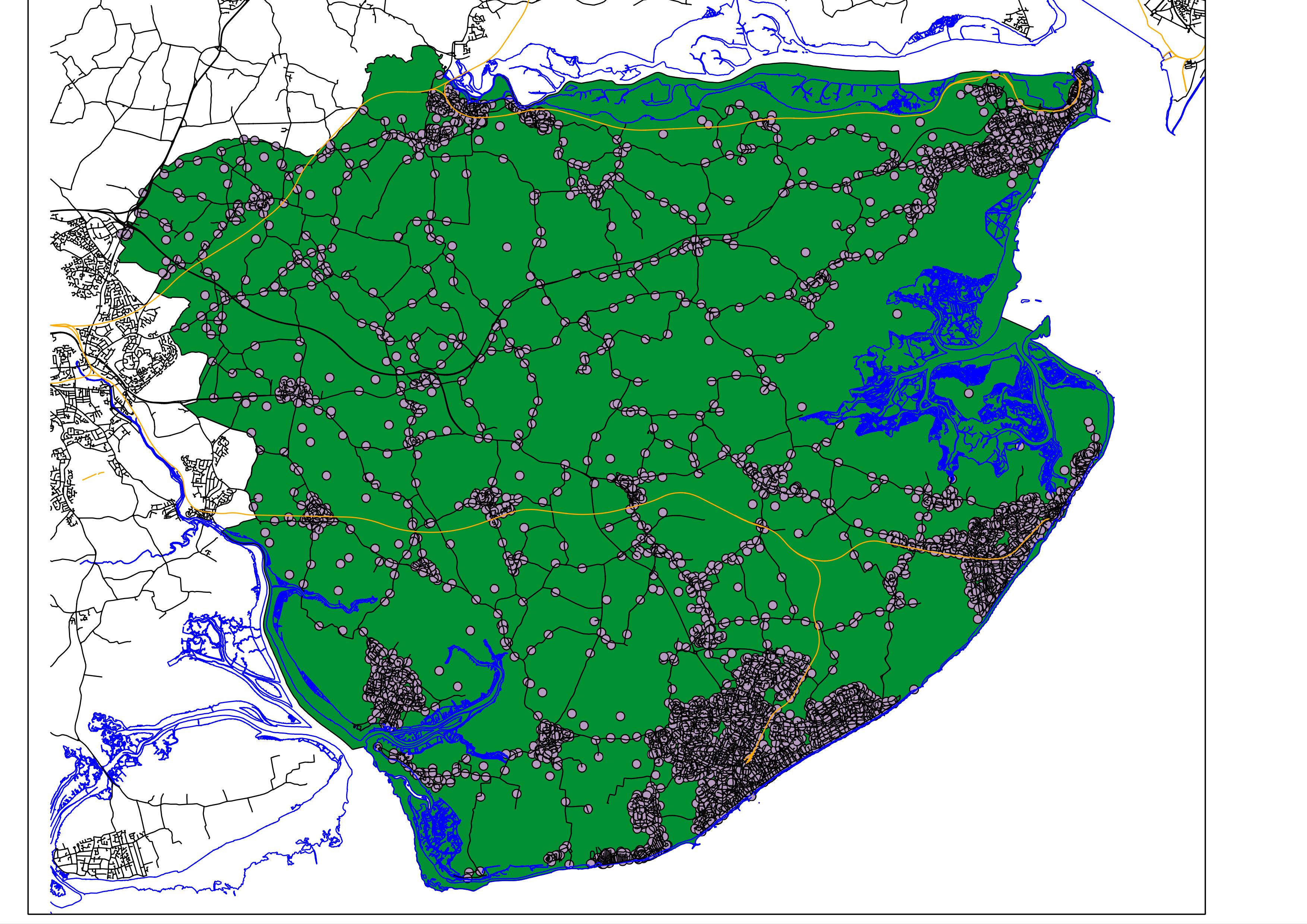
| 09:12, 24 September 2010 | Tendring Postcodes.jpeg (file) |  |
1.11 MB | Example image using OS OpenData in QGIS. Codepoint Open data has been filtered to only contain Tendring District postcodes. BoundaryLine has been filtered to only include the Tendring district (green background). VectorLine has been used to add mean high | 1 |
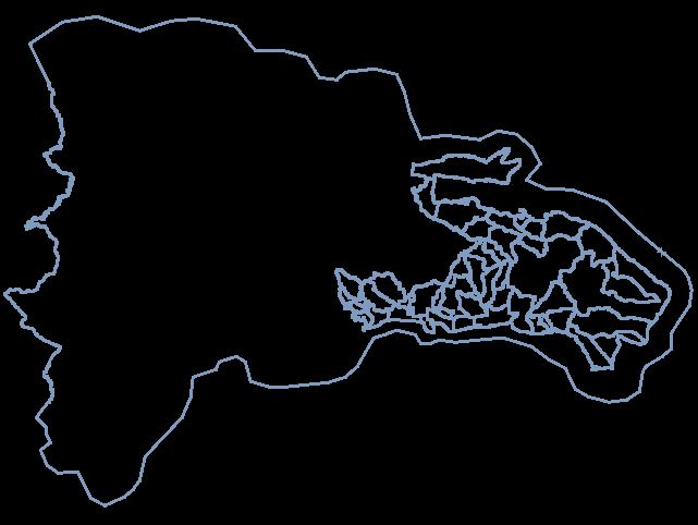
| 11:29, 25 January 2010 | DominicanRepublicBoundaries20100125.JPG (file) |  |
40 KB | Image showing extent of existing boundary relations covering Dominican Republic as at 25/01/2010. | 1 |
| 07:58, 16 January 2010 | 201004WithamCakeReduced.jpg (file) |  |
46 KB | Cake diagram for April 2010 mapping party, Witham, Essex, UK | 1 |
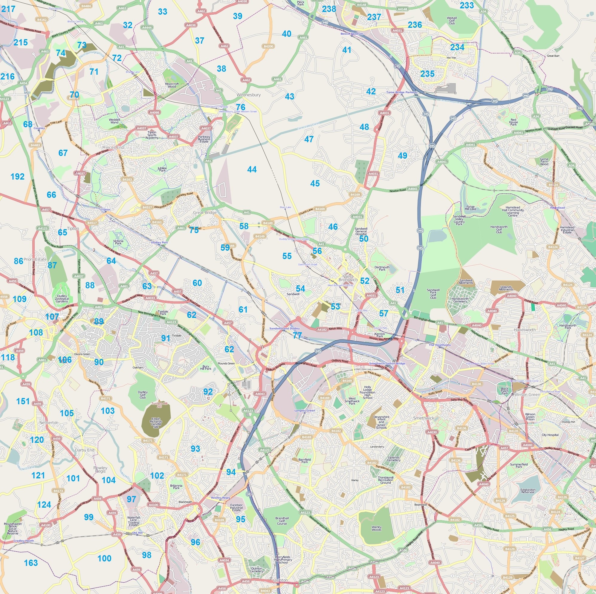
| 20:11, 13 October 2009 | BCC Sandwell.jpg (file) |  |
1.62 MB | Black Country Cake - Sandwell area | 3 |
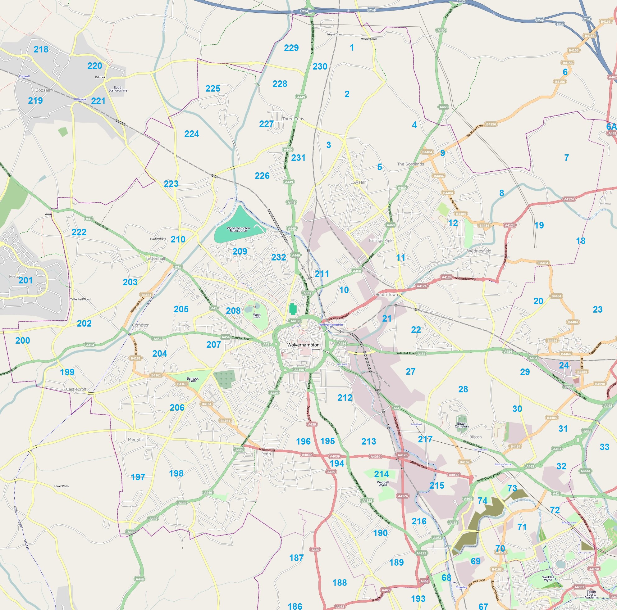
| 18:53, 13 October 2009 | BCC Wolverhampton.jpg (file) |  |
1,002 KB | Black Country Cake - Wolverhampton council area | 1 |
| 18:50, 13 October 2009 | BCC Walsall.jpg (file) |  |
1.14 MB | Black Country Cake - Walsall council area | 1 |
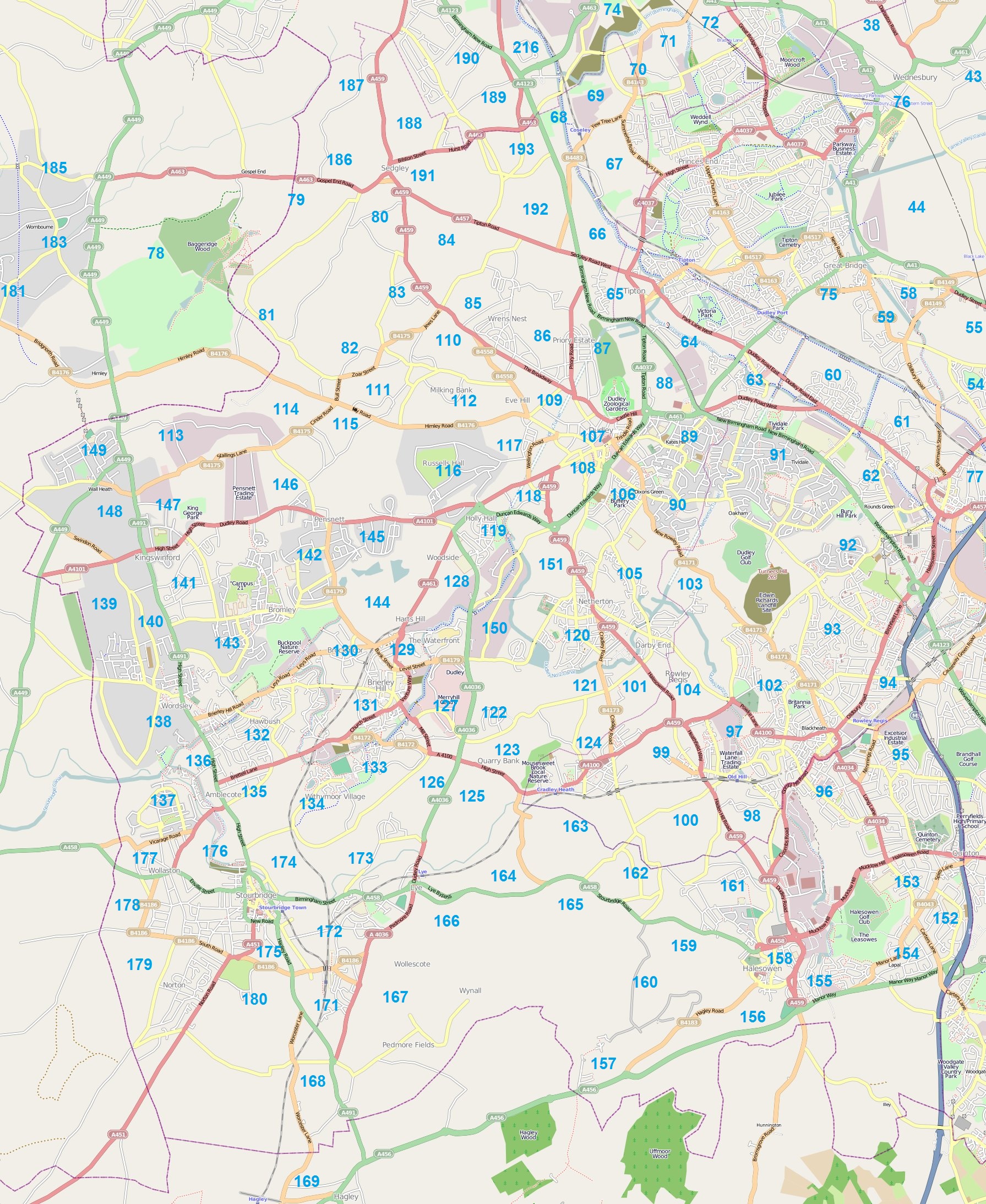
| 18:44, 13 October 2009 | BCC Dudley.jpg (file) |  |
1.3 MB | Black Country Cake - Dudley council area | 1 |
| 09:02, 25 September 2009 | 200909BasildonPartyCake.jpg (file) |  |
781 KB | Quickly knocked together possible cake for mapping party. | 1 |
| 08:59, 25 March 2009 | UK no motor vehicles except 2.jpg (file) |  |
38 KB | 1 | |
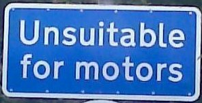
| 08:38, 25 March 2009 | UK unsuitable for motors.jpg (file) |  |
14 KB | 1 | |
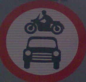
| 14:51, 24 March 2009 | UK no motor vehicles except.jpg (file) |  |
28 KB | 1 | |
| 14:50, 24 March 2009 | UK no motor vehicles.jpg (file) |  |
10 KB | 1 | |
| 14:50, 24 March 2009 | UK no cycling time limits.jpg (file) |  |
26 KB | 1 | |
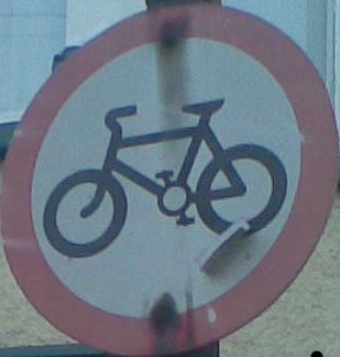
| 14:50, 24 March 2009 | UK no cycling.jpg (file) |  |
16 KB | 1 | |
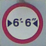
| 14:50, 24 March 2009 | UK maxwidth imperial.jpg (file) |  |
5 KB | 1 | |
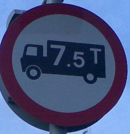
| 14:50, 24 March 2009 | UK maxweight hgv.jpg (file) |  |
26 KB | 1 | |
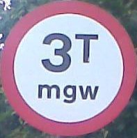
| 14:49, 24 March 2009 | UK maxweight.jpg (file) |  |
9 KB | 1 | |
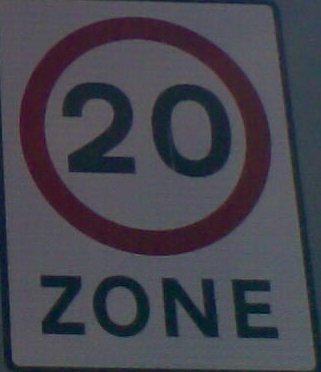
| 14:49, 24 March 2009 | UK 20 zone.jpg (file) |  |
16 KB | 1 | |
| 15:41, 29 January 2009 | Lighthouse.svg (file) |  |
6 KB | Larger version of the lighthouse symbol used in Osmarender. | 1 |
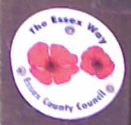
| 14:35, 19 January 2009 | EssexWay.jpg (file) |  |
6 KB | Essex Way plaque on post near Stour Woods | 1 |
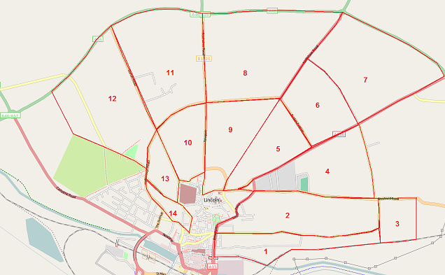
| 10:37, 19 January 2009 | LincolnAreas.png (file) |  |
144 KB | Map of Lincoln as at 17th January 2009, with numbered areas targetted for a visit there. Uploaded to add to wiki page in case anyone else wants to pick an area if they find themselves visiting Wiki unexpectedly. | 1 |
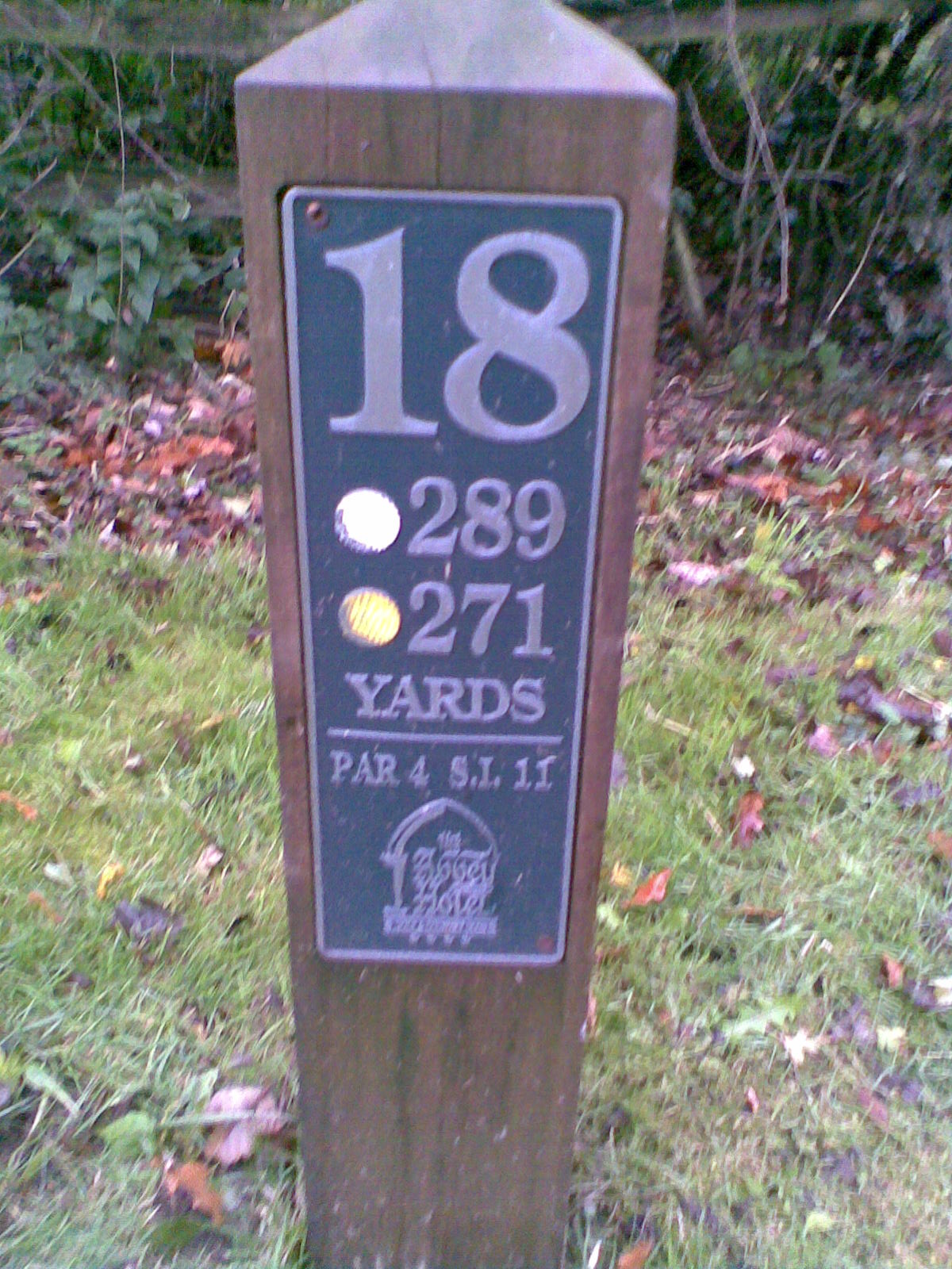
| 14:40, 3 November 2008 | AbbeyHotel18thTee.jpg (file) |  |
381 KB | Photo of post on 18th Tee at Abbey Hotel Redditch for proposed feature discussion. | 1 |