Uploads by Extremecarver
Jump to navigation
Jump to search
This special page shows all uploaded files.
| Date | Name | Thumbnail | Size | Description | Versions |
|---|---|---|---|---|---|
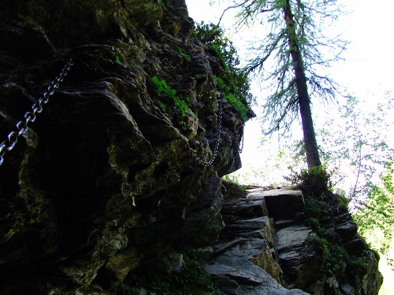
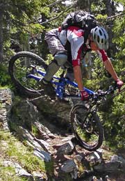
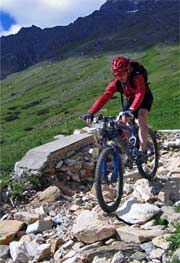
| 20:47, 21 November 2010 | Super easy ferrata.jpg (file) |  |
100 KB | License: PD This does not really classify as via ferrata. Should this be a 0? | 3 |
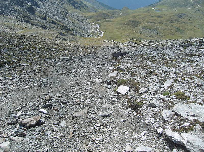
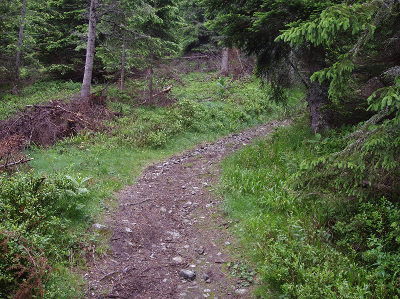
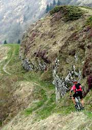
| 17:54, 21 November 2010 | Trail visibility good1.jpg (file) |  |
165 KB | License: PD. While the way is not directly visible. As soon as one advances around 20m, way goes up on the right and is very well visible again. Only feature is that for a few (50) meters the trail is not really defined. Orientation is very easy however. | 1 |
| 17:50, 21 November 2010 | Trail visibility horrible.jpg (file) |  |
204 KB | License PD. Somewhere in the Val D'Anniviers | 1 |
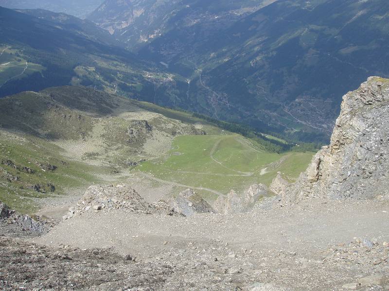
| 17:47, 21 November 2010 | Trail visibility no.jpg (file) |  |
108 KB | License PD. Chute at Corne de Sorebois - Zinal. Switzerland | 2 |
| 17:38, 21 November 2010 | Trail visibility good.jpg (file) |  |
105 KB | License PD | 1 |
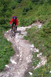
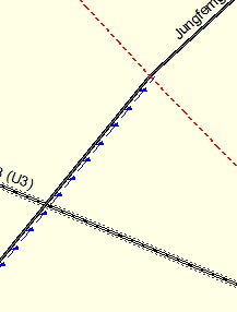
| 17:30, 21 November 2010 | Very goog visibility.jpg (file) |  |
191 KB | trail_visibility=excellent (license PD) | 1 |
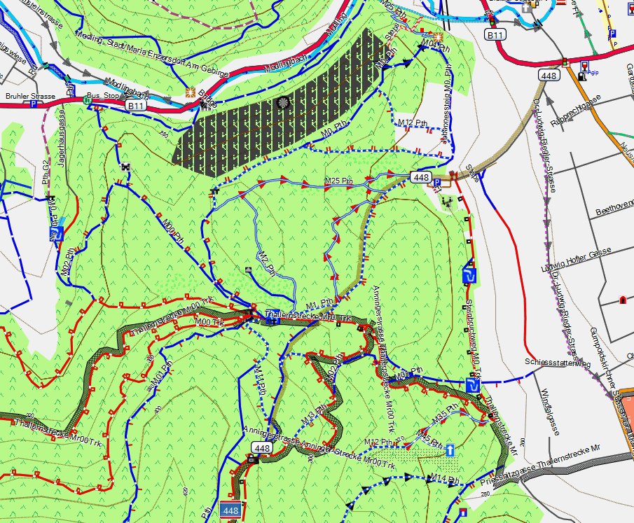
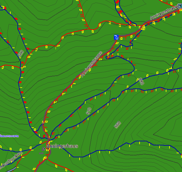
| 16:59, 9 April 2010 | Well mapped area.png (file) |  |
161 KB | mtb_anninger_well_mapped | 1 |
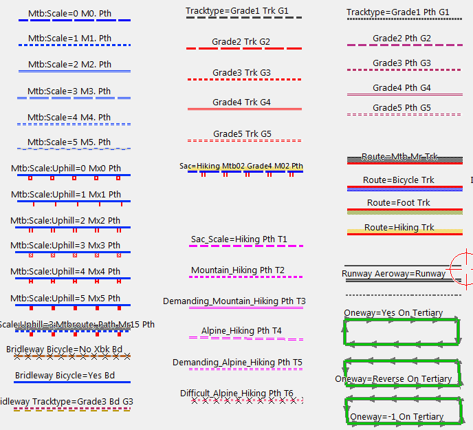
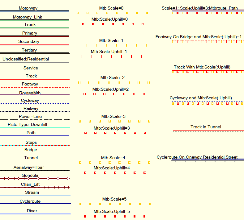
| 16:28, 9 April 2010 | Openmtbmap legend.png (file) |  |
15 KB | Legend of the Openmtbmap.org | 1 |
| 11:56, 31 January 2010 | Potlatch fields.png (file) | 4 KB | 1 | ||
| 11:54, 31 January 2010 | Potlatch Plus.png (file) |  |
2 KB | Tagging mtb attributes with Josm | 1 |
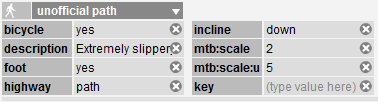
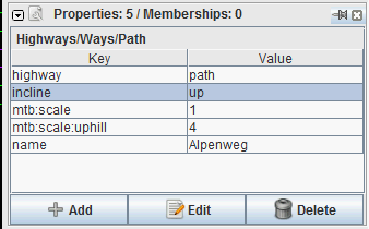
| 11:47, 31 January 2010 | Josm Properties.png (file) |  |
6 KB | Tagging mtb attributes with Josm | 1 |
| 00:43, 5 April 2009 | Me small.jpg (file) |  |
185 KB | 1 | |
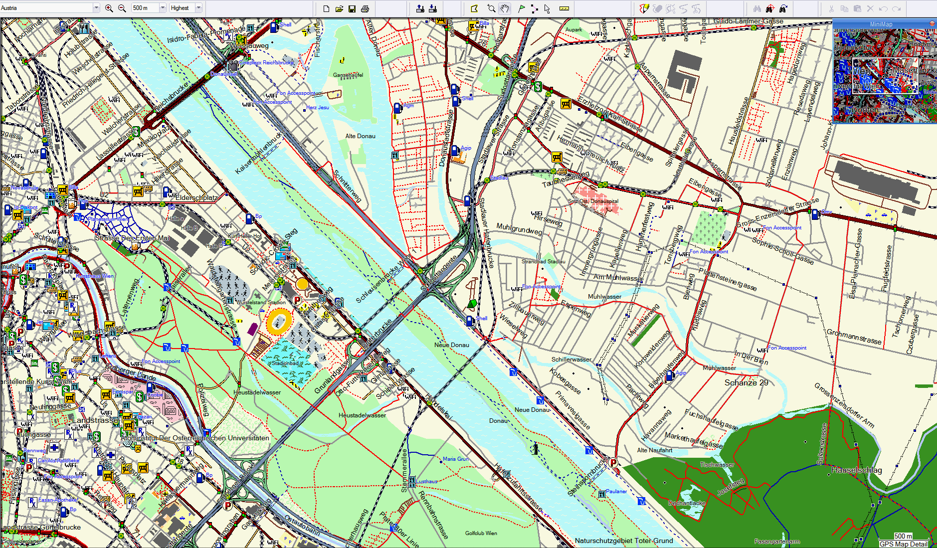
| 00:13, 27 January 2009 | Example Mapsource Rendering.png (file) |  |
26 KB | 1 | |
| 00:10, 27 January 2009 | Legend for mtbmap.png (file) |  |
13 KB | 2 | |
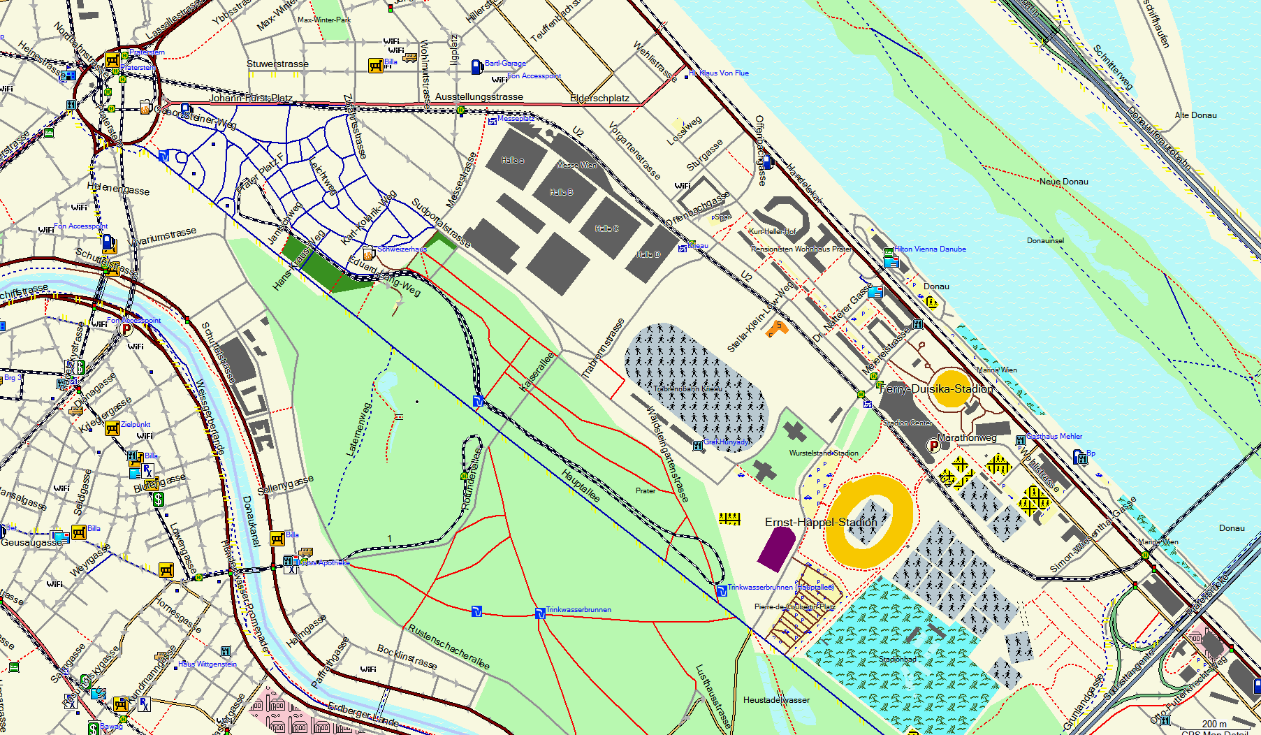
| 00:28, 15 January 2009 | Praterpark 500m Aufloesung.png (file) |  |
325 KB | 1 | |
| 00:13, 15 January 2009 | Wien 1. Bezirk in Garmin Mapsource 200m.png (file) |  |
298 KB | 1 | |
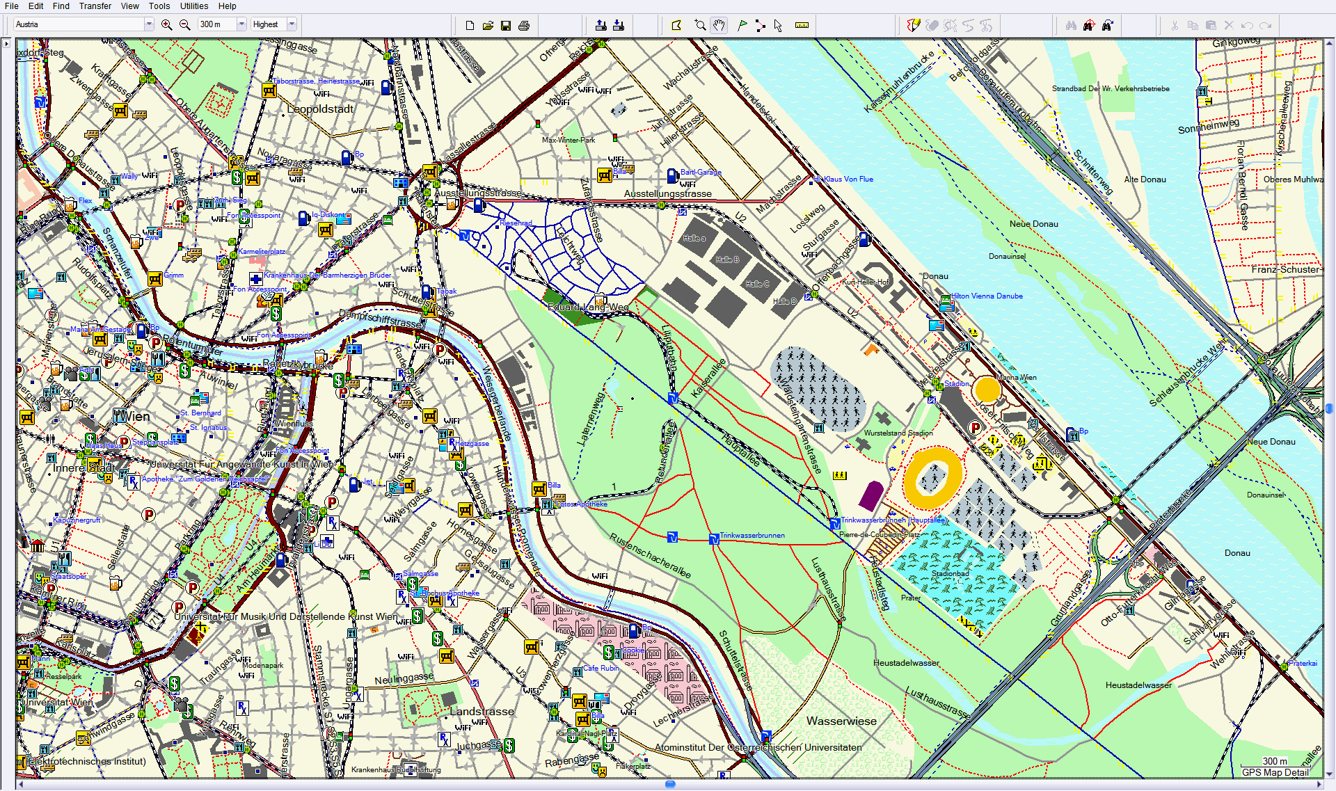
| 00:13, 15 January 2009 | Praterpark und Sportanlagen in Garmin Mapsource 200m.png (file) |  |
194 KB | 2 | |
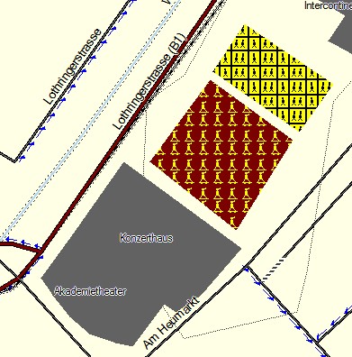
| 00:12, 15 January 2009 | Praterpark 300m.png (file) |  |
316 KB | 2 | |
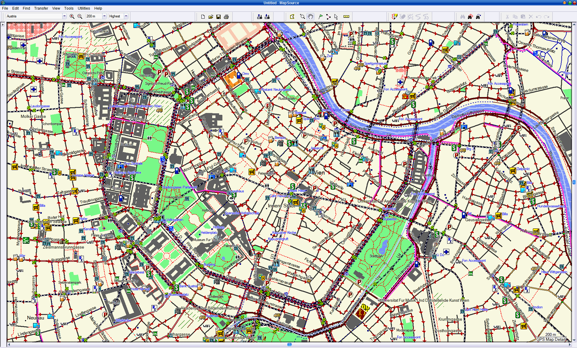
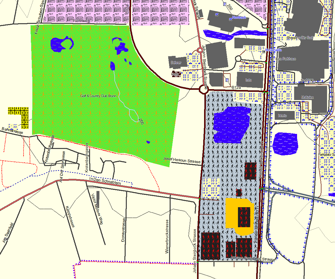
| 17:50, 14 January 2009 | Wien 1. Bezirk in Garmin Mapsource.png (file) |  |
345 KB | 1 | |
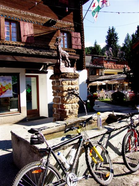
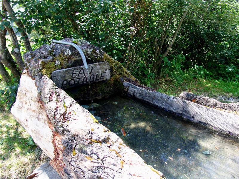
| 10:39, 5 December 2008 | Drinking Water for Humans only.jpg (file) |  |
85 KB | Drinking_Water_for_Humans_only.jpg | 1 |
| 10:35, 5 December 2008 | Drinking Water For Humans and Animals.jpg (file) |  |
167 KB | 1 | |
| 20:29, 26 November 2008 | S5.jpg (file) |  |
16 KB | Photo released under CC-BY-SA-2 and CC-BY-SA-3 by http://www.singletrail-skala.de.vu/ | 1 |
| 20:29, 26 November 2008 | S4.jpg (file) |  |
12 KB | Photo released under CC-BY-SA-2 and CC-BY-SA-3 by http://www.singletrail-skala.de.vu/ | 1 |
| 20:28, 26 November 2008 | S3.jpg (file) |  |
14 KB | Photo released under CC-BY-SA-2 and CC-BY-SA-3 by http://www.singletrail-skala.de.vu/ | 1 |
| 20:28, 26 November 2008 | S2.jpg (file) |  |
12 KB | Photo released under CC-BY-SA-2 and CC-BY-SA-3 by http://www.singletrail-skala.de.vu/ | 1 |
| 20:28, 26 November 2008 | S1.jpg (file) |  |
13 KB | Photo released under CC-BY-SA-2 and CC-BY-SA-3 by http://www.singletrail-skala.de.vu/ | 1 |
| 20:26, 26 November 2008 | S0.jpg (file) |  |
12 KB | Photo released under CC-BY-SA-2 and CC-BY-SA-3 by http://www.singletrail-skala.de.vu/ | 1 |
| 18:13, 1 November 2008 | Mapsource mtb map.png (file) |  |
437 KB | 1 | |
| 17:57, 1 November 2008 | Mapsource New.png (file) |  |
498 KB | 2 | |
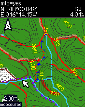
| 18:38, 30 October 2008 | Mtb=yes.png (file) |  |
10 KB | MTB_map on Vista HCx | 1 |
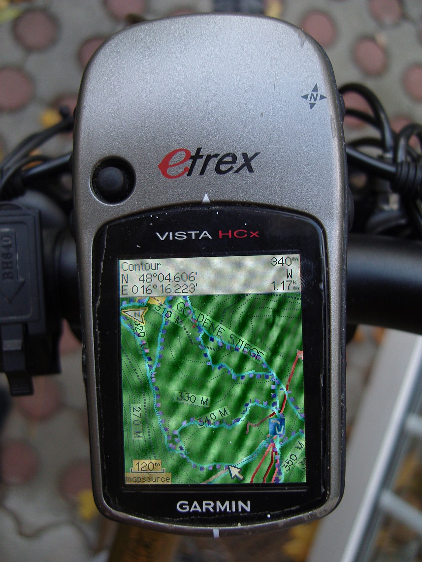
| 15:22, 30 October 2008 | Vista HCx Showing OSM Garmin MTB Map.jpg (file) |  |
313 KB | 1 | |
| 14:53, 30 October 2008 | 2008-10-30 155254.png (file) |  |
97 KB | 1 | |
| 14:17, 30 October 2008 | 2008-10-30 150703.jpg (file) |  |
60 KB | 1 | |
| 14:16, 30 October 2008 | 2008-10-30 150534.jpg (file) |  |
11 KB | 2 | |
| 11:34, 19 September 2008 | 2008-09-19 133134.jpg (file) |  |
698 KB | Map rendering under Mapsource | 1 |
| 11:09, 19 September 2008 | Cycling-map-typfile.doc (file) | 115 KB | please compile with maptk and upload as .typ file | 1 | |
| 11:08, 19 September 2008 | Cycling-map-features.csv.doc (file) | 39 KB | Please upload as .csv | 1 |