Uploads by Fortchagos
Jump to navigation
Jump to search
This special page shows all uploaded files.
| Date | Name | Thumbnail | Size | Description | Versions |
|---|---|---|---|---|---|
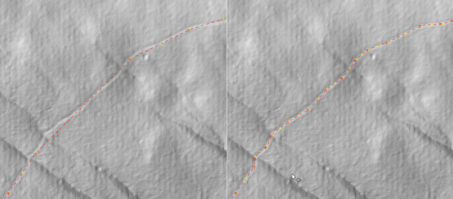
| 14:23, 14 March 2022 | Corrected-trail-using-lidar.png (file) |  |
283 KB | Before and after trail tracing using LIDAR imagery. | 1 |
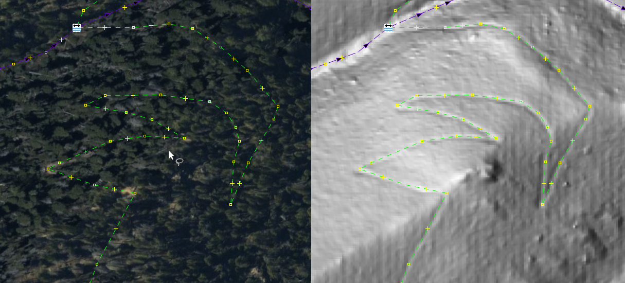
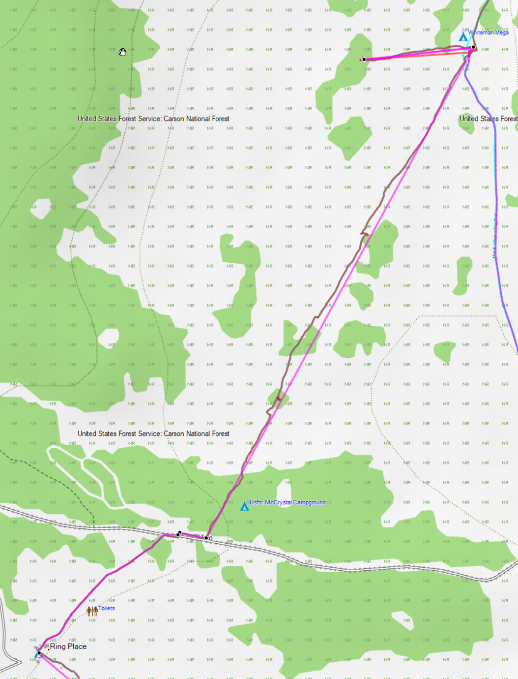
| 00:54, 14 March 2022 | Imagery-vs-lidar.png (file) |  |
682 KB | Screenshot of imagery versus LIDAR in JOSM. All imagery is available via the US Geological Survey 3D Elevation program at https://www.usgs.gov/3d-elevation-program. | 1 |
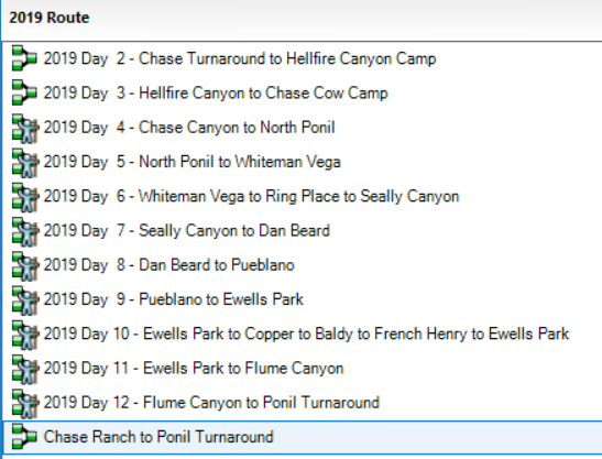
| 00:07, 12 September 2020 | CombineRoute9.png (file) |  |
85 KB | 1 | |
| 00:06, 12 September 2020 | CombineRoute8.png (file) |  |
54 KB | 1 | |
| 00:05, 12 September 2020 | CombineRoute7.png (file) |  |
110 KB | 1 | |
| 00:05, 12 September 2020 | CombineRoute6.png (file) |  |
20 KB | 1 | |
| 00:04, 12 September 2020 | CombineRoute5.png (file) |  |
82 KB | 1 | |
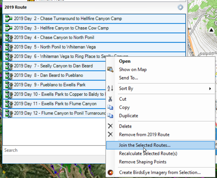
| 00:03, 12 September 2020 | CombineRoute3.png (file) |  |
237 KB | 1 | |
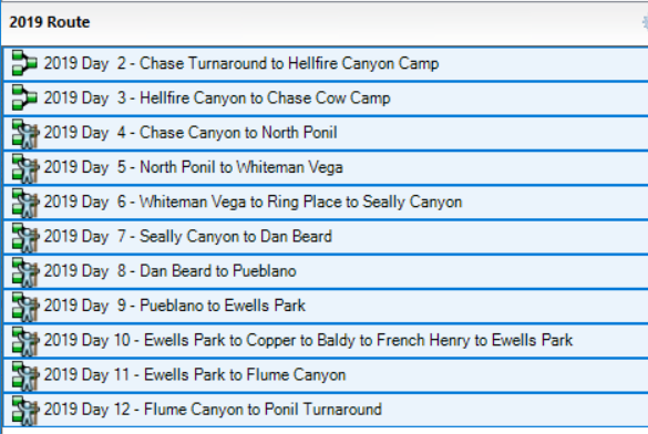
| 00:03, 12 September 2020 | CombineRoute2.png (file) |  |
105 KB | 1 | |
| 00:02, 12 September 2020 | CombineRoute1.png (file) |  |
102 KB | 1 | |
| 00:26, 11 September 2020 | PrairieWalkTrack.png (file) |  |
492 KB | 1 |