Uploads by Freek
Jump to navigation
Jump to search
This special page shows all uploaded files.
| Date | Name | Thumbnail | Size | Description | Versions |
|---|---|---|---|---|---|
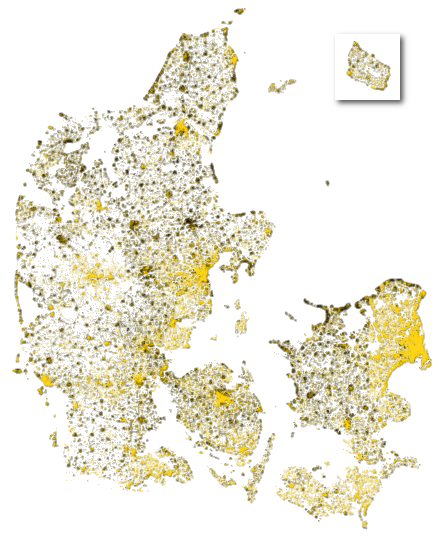
| 15:28, 27 February 2010 | Denmark completeness.png (file) |  |
278 KB | Visualization of the completeness of Denmark in January 2010. Image based on the per-pixel percentage of road names that appear in KMS adresses vs. OSM ways. Yellow areas such as København and Århus are (almost) complete. Black areas such as Randers and | 1 |
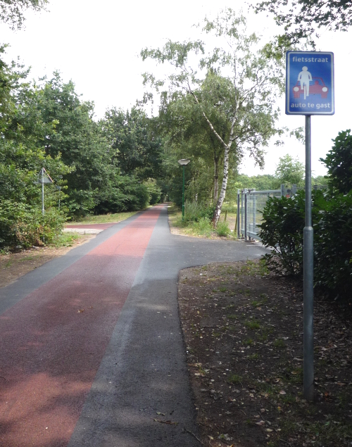
| 13:40, 9 July 2009 | Fietsstraat.jpg (file) |  |
332 KB | Fietsstraat (Dutch "bicycle street") | 1 |
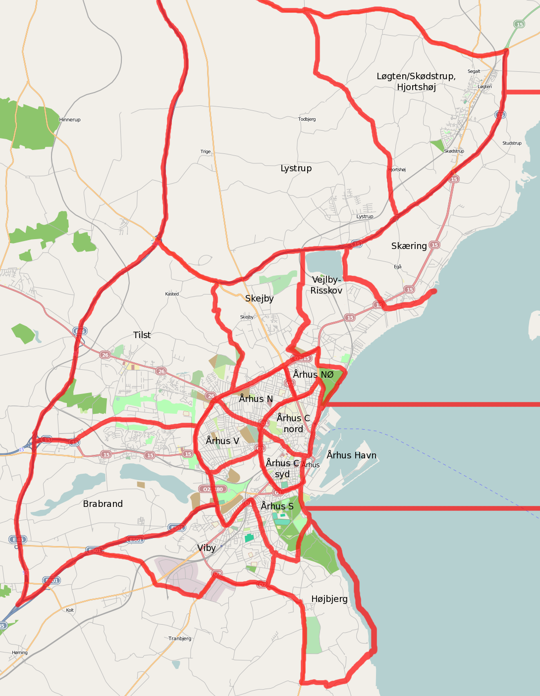
| 13:08, 5 June 2009 | Aarhus subdivision.png (file) |  |
715 KB | Added remaining borders. | 2 |
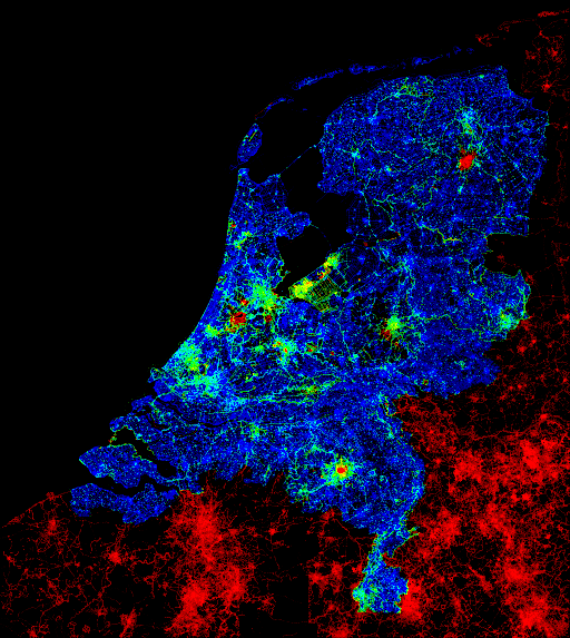
| 10:14, 4 May 2008 | Author density nl 20080502.png (file) |  |
263 KB | Data density in the Netherlands. Blue is untouched AND data. The colour changes via green to red for areas without AND data or data that is changed since the import. Full sized version (100 square metres per pixel) can be found [http://www.vanwal.nl/osm/a | 1 |
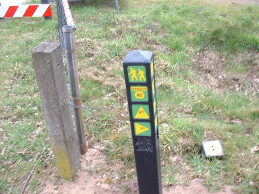
| 20:55, 12 April 2008 | Wandelknp 11.jpg (file) |  |
58 KB | An example of a node (11) in a Dutch walking node network, with directions to neighbouring nodes. | 2 |
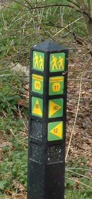
| 20:52, 12 April 2008 | Wandelknp 80.jpg (file) |  |
121 KB | An example of a node (80) in a Dutch walking node network, with directions to neighbouring nodes. | 1 |