Uploads by Igeopr
Jump to navigation
Jump to search
This special page shows all uploaded files.
| Date | Name | Thumbnail | Size | Description | Versions |
|---|---|---|---|---|---|
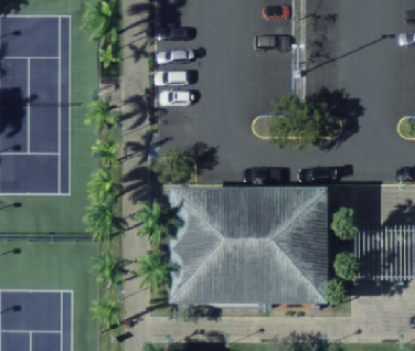
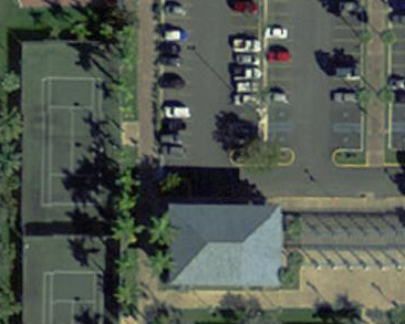
| 18:16, 9 June 2016 | 2013 USACE PR.PNG (file) |  |
267 KB | Screenshot of the 2013 USACE 10 cm orthoimagery for part of the San Juan Metropolitan Area. | 1 |
| 01:39, 2 June 2016 | TwoHousenumbers OsmDefault.png (file) |  |
30 KB | Building with two housenumbers. Background is OpenStreetMap default layer. | 1 |
| 01:38, 2 June 2016 | TwoHousenumbers Imagery.png (file) |  |
131 KB | Building with two housenumbers. Screenshot of iD editor with 2013 USACE imagery as background. | 1 |
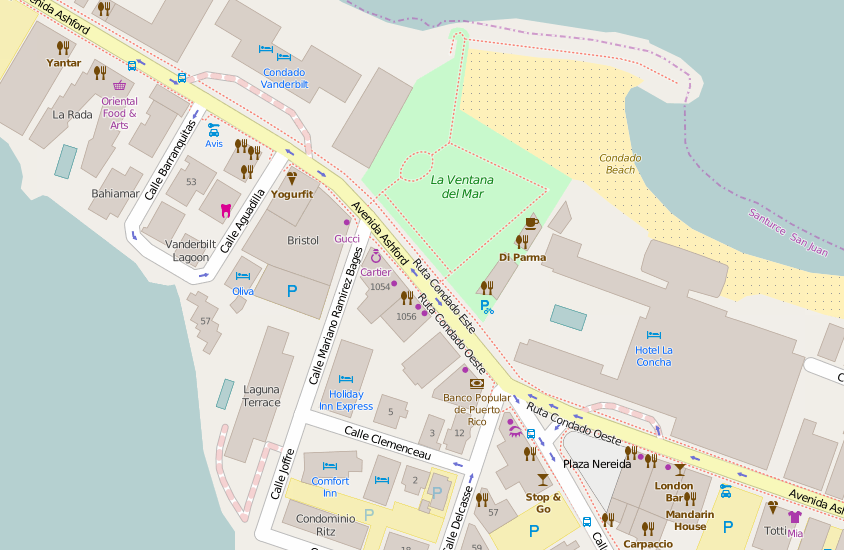
| 13:32, 18 August 2015 | Condado-pois.PNG (file) |  |
142 KB | Points of Interest in Condado, San Juan. | 1 |
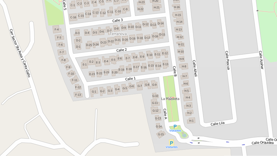
| 20:28, 7 March 2015 | Terranova-buildings.PNG (file) |  |
169 KB | Urbanización Terranova buildings'footprints with addresses. | 1 |
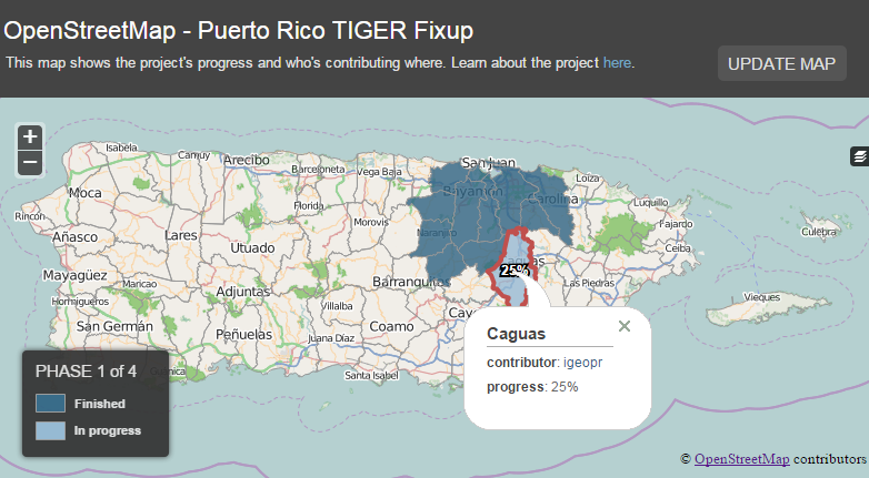
| 23:12, 24 October 2014 | Prtigerfixup-map-snippet.png (file) |  |
147 KB | Remove comments from popups on map. | 4 |
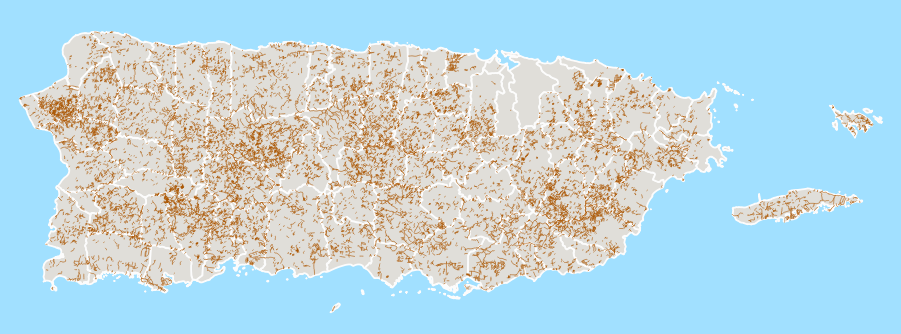
| 23:15, 12 October 2014 | Highway-tracks-pr-140825.png (file) |  |
202 KB | This image shows the highway=track problem in Puerto Rico as of August 25, 2014. | 1 |
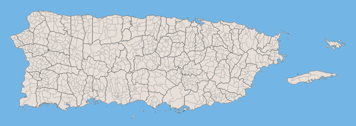
| 02:32, 25 September 2014 | PR Legal Boundaries.PNG (file) |  |
144 KB | 2 | |
| 02:17, 25 September 2014 | PR US flags.png (file) | 2 KB | 3 | ||
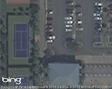
| 15:13, 19 September 2014 | Bing Imagery - Parque Central.png (file) |  |
112 KB | Snippet of Bing Imagery for Parque Central. | 1 |
| 15:12, 19 September 2014 | Aerial Photography 2010 - Parque Central.png (file) |  |
252 KB | Removed "2010 imagery" and changed the size. | 2 |