Uploads by Imagico
Jump to navigation
Jump to search
This special page shows all uploaded files.
| Date | Name | Thumbnail | Size | Description | Versions |
|---|---|---|---|---|---|
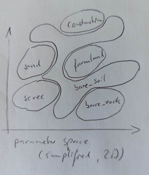
| 13:33, 30 July 2020 | Bare ground tagging.jpg (file) |  |
119 KB | 1 | |
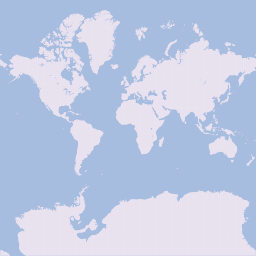
| 17:24, 1 July 2020 | State of the Map 2020 tshirt imagico2 fill.svg (file) |  |
394 KB | Alternative version of the SotM 2020 tshirt design with an improved map based on OpenStreetMap data (high detail version, filled) | 1 |
| 17:23, 1 July 2020 | State of the Map 2020 tshirt imagico2.svg (file) |  |
619 KB | Alternative version of the SotM 2020 tshirt design with an improved map based on OpenStreetMap data (high detail version) | 1 |
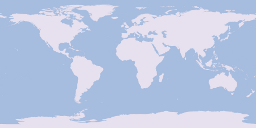
| 17:22, 1 July 2020 | State of the Map 2020 tshirt imagico1.svg (file) |  |
287 KB | Alternative version of the SotM 2020 tshirt design with an improved map based on OpenStreetMap data (low detail version) | 1 |
| 17:17, 1 July 2020 | State of the Map 2020 sticker imagico.svg (file) |  |
114 KB | Alternative version of the SotM 2020 sticker design with an improved map based on OpenStreetMap data | 1 |
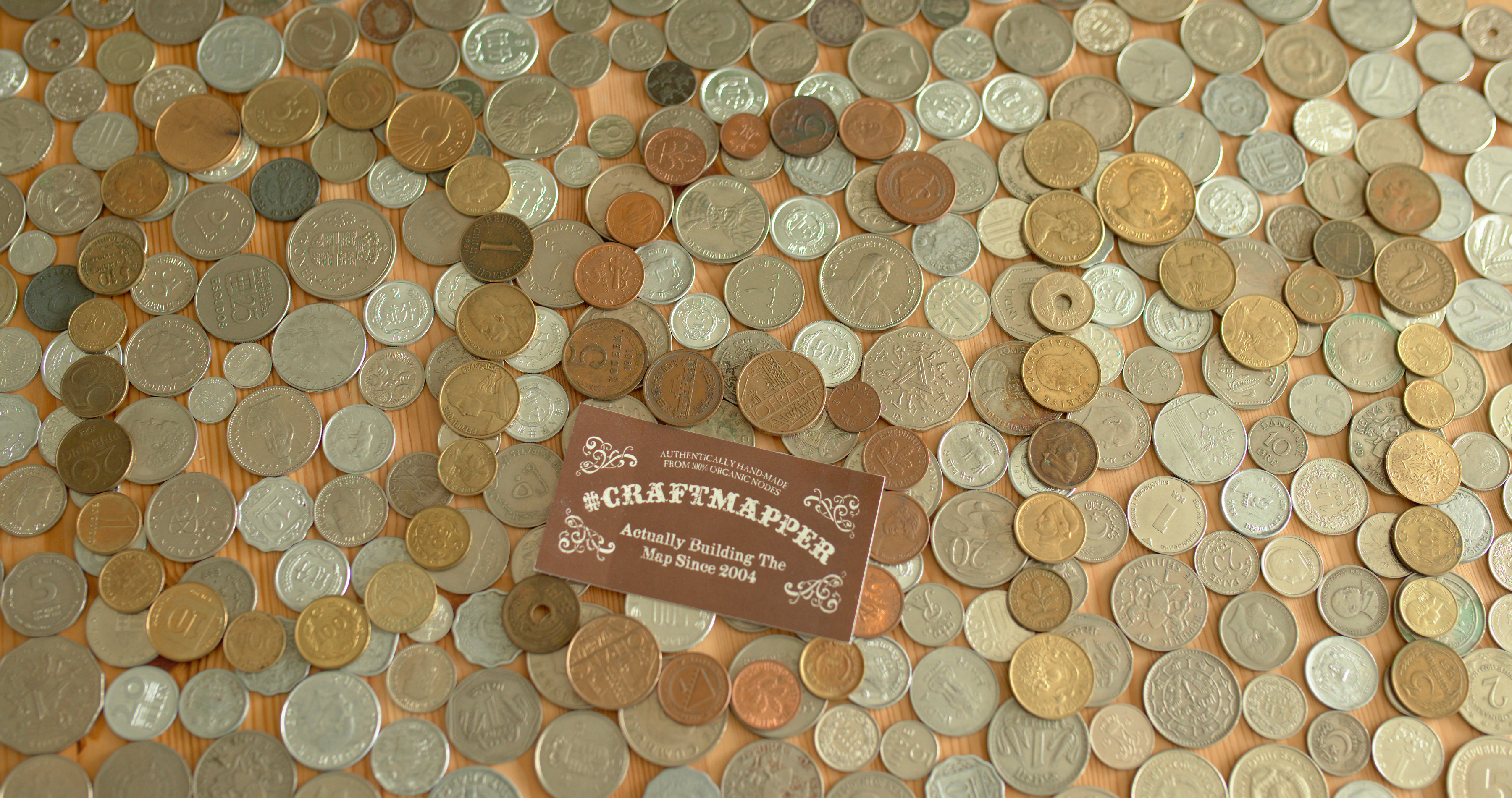
| 22:41, 26 April 2020 | OSM Microgrants2.jpg (file) |  |
3.37 MB | OSM illustrated with historic coins from around the world as illustration for Microgrants - with Craftmappers logo. | 1 |
| 22:40, 26 April 2020 | OSM Microgrants1.jpg (file) |  |
3.06 MB | OSM illustrated with historic coins from around the world as illustration for Microgrants. | 1 |
| 12:48, 21 September 2013 | Josm correct.png (file) |  |
460 KB | 1 | |
| 12:48, 21 September 2013 | Josm offset.png (file) |  |
460 KB | 1 | |
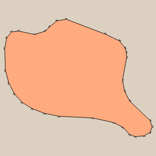
| 12:18, 21 September 2013 | Potrace qgis2.png (file) |  |
9 KB | 1 | |
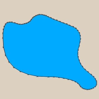
| 12:18, 21 September 2013 | Potrace qgis1.png (file) |  |
11 KB | 1 | |
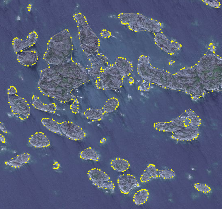
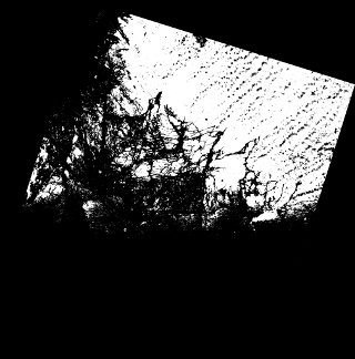
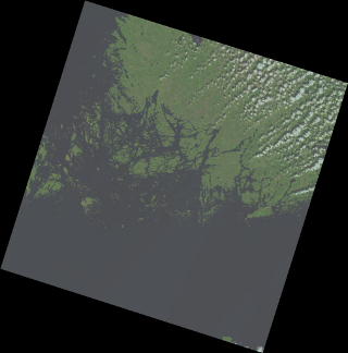
| 22:54, 18 September 2013 | LC81900182013233LGN00 mask clip small.png (file) |  |
22 KB | 1 | |
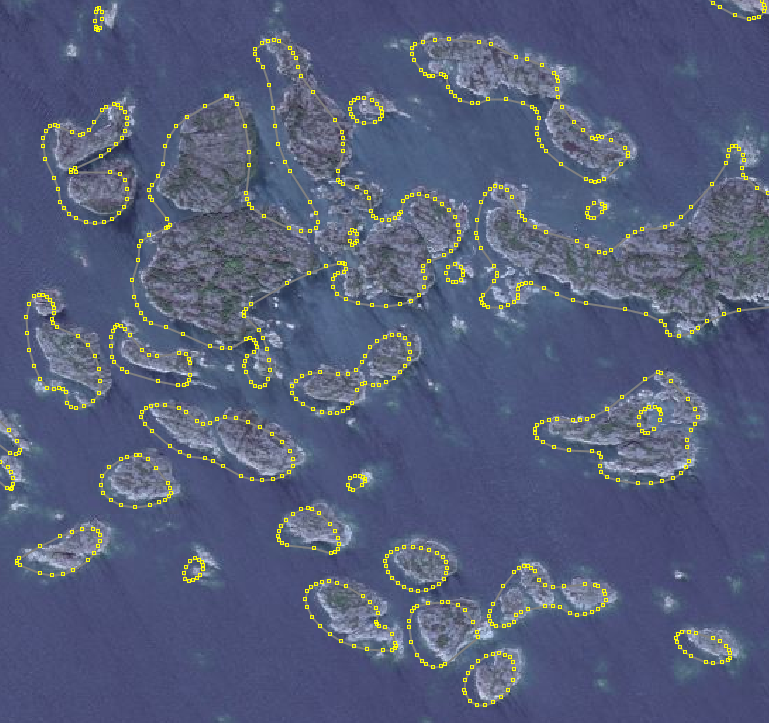
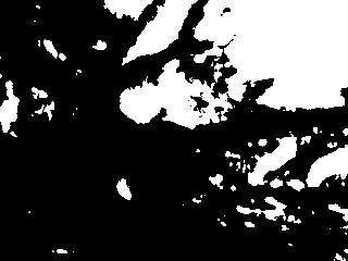
| 22:54, 18 September 2013 | LC81900182013233LGN00 mask small.png (file) |  |
27 KB | 1 | |
| 22:33, 18 September 2013 | Gimp mask.png (file) |  |
3 KB | 1 | |
| 22:32, 18 September 2013 | Gimp select.png (file) |  |
63 KB | 1 | |
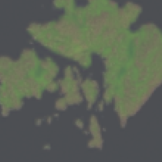
| 22:17, 18 September 2013 | Landsat pansharpened.png (file) |  |
20 KB | 1 | |
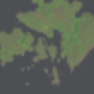
| 22:16, 18 September 2013 | Landsat normal.png (file) |  |
8 KB | 1 | |
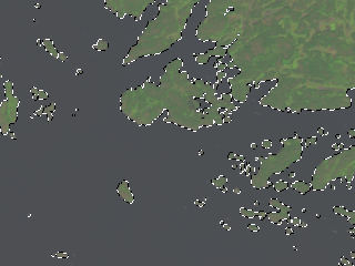
| 21:53, 18 September 2013 | LC81900182013233LGN00 654 small.png (file) |  |
87 KB | 1 | |
| 21:45, 18 September 2013 | LC81900182013233LGN00 B6 small.png (file) |  |
28 KB | 1 | |
| 14:47, 4 May 2013 | ADD tiles.png (file) |  |
522 KB | 1 | |
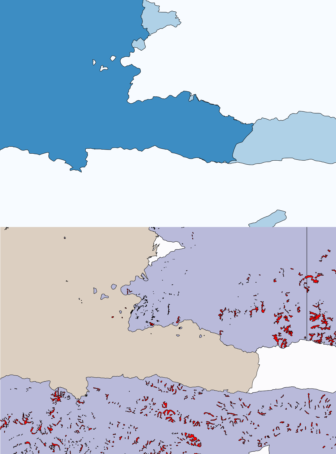
| 19:46, 17 March 2013 | ADD compare.png (file) |  |
232 KB | Comparison of ADD data with MOA data | 1 |
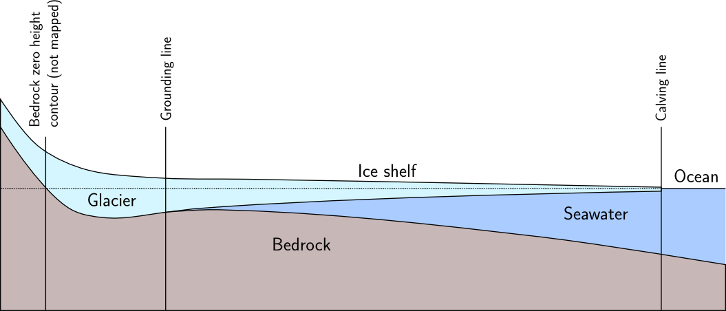
| 09:48, 11 March 2013 | Antarctica coast profile.png (file) |  |
40 KB | Profile of the antarctic coast with ice shelf, approximately to scale except for vertical exaggeration | 1 |
| 11:57, 1 March 2013 | Projection 3031.png (file) |  |
8 KB | Map projection sample EPSG:3031 | 1 |
| 11:56, 1 March 2013 | Projection 3857.png (file) |  |
22 KB | Map projection sample EPSG:3857 | 1 |
| 11:55, 1 March 2013 | Projection 4326.png (file) |  |
15 KB | Map projection sample EPSG:4326 | 1 |
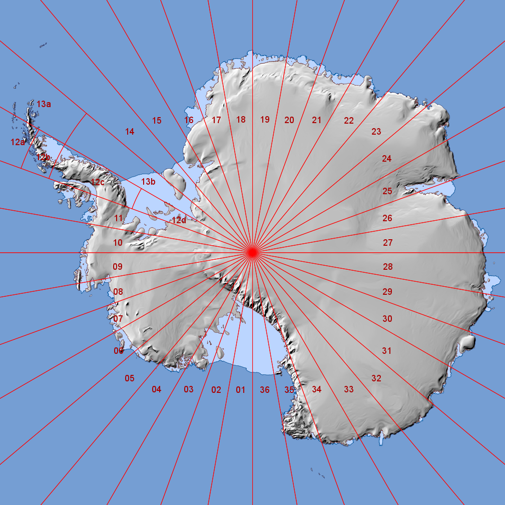
| 09:44, 1 March 2013 | Antarctica map.png (file) |  |
324 KB | Basic map of antarctica made with QGis using MOA and RAMP data | 1 |
| 15:24, 5 February 2013 | Glims example norway2.png (file) |  |
76 KB | GLIMS example Norway with newly vectorized outline | 1 |
| 15:22, 5 February 2013 | Glims example norway1.png (file) |  |
45 KB | original GLIMS data example in Norway | 1 |