Uploads by Jojo4u
Jump to navigation
Jump to search
This special page shows all uploaded files.
| Date | Name | Thumbnail | Size | Description | Versions |
|---|---|---|---|---|---|
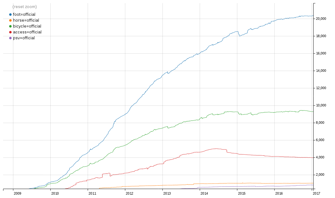
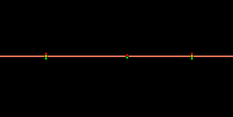
| 14:19, 17 April 2017 | Official value 2017-04-17.png (file) |  |
61 KB | better zoom | 2 |
| 23:02, 9 October 2016 | Traffic signals 0 oneway.png (file) |  |
1 KB | 1 | |
| 23:02, 9 October 2016 | Traffic signals 0.png (file) |  |
728 bytes | 1 | |
| 21:50, 9 October 2016 | Traffic signals 2 1 before junction separate pedestrian.png (file) |  |
5 KB | 2 | |
| 21:37, 9 October 2016 | Traffic signals 2 1 before junction.png (file) |  |
5 KB | 1 | |
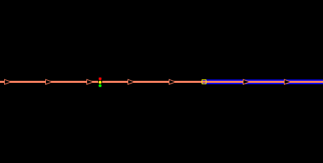
| 21:24, 9 October 2016 | Traffic signals 2 1 on junction.png (file) |  |
3 KB | 3 | |
| 21:18, 9 October 2016 | Traffic signals 2 1 on junction pedestrian separate.png (file) |  |
4 KB | 1 | |
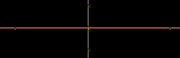
| 21:05, 9 October 2016 | Traffic signals 1 1 pedestrian separate.png (file) |  |
1 KB | 1 | |
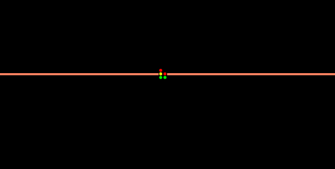
| 21:04, 9 October 2016 | Traffic signals 1 1.png (file) |  |
1 KB | 1 | |
| 20:52, 9 October 2016 | Traffic signals no intersection.png (file) |  |
703 bytes | 3 | |
| 20:49, 9 October 2016 | Traffic signals no intersection pedestrian separate.png (file) |  |
766 bytes | 1 | |
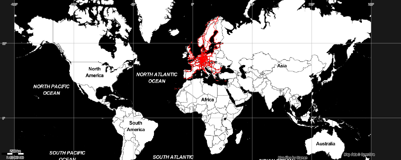
| 12:29, 30 September 2016 | Official value 2016-09-30.png (file) |  |
66 KB | from http://taghistory.raifer.tech/ | 1 |
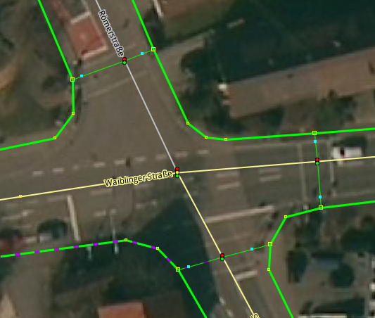
| 13:06, 5 August 2016 | Crossing four-way intersection moved kerbs 2016.png (file) |  |
130 KB | Last version was trapping cyclists in the southwest | 2 |
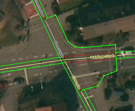
| 12:53, 5 August 2016 | Crossing four-way intersection combination.png (file) |  |
181 KB | was missing one crossing=no | 3 |
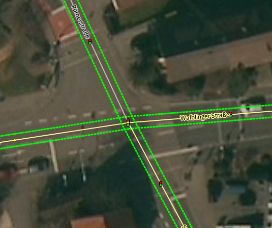
| 12:47, 5 August 2016 | Crossing four-way intersection combination light.png (file) |  |
134 KB | Screenshot of a crossing in JOSM with sidewalks tagged as combination of property and separate ways. "Light" version. | 1 |
| 12:45, 5 August 2016 | Crossing four-way intersection implicit.png (file) |  |
137 KB | Replace with version where sidewalk is 100% tagged as property. | 2 |
| 17:20, 15 November 2015 | Superroute 2015-11-15.png (file) |  |
221 KB | zoomed in | 1 |
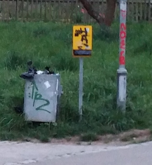
| 10:13, 19 April 2015 | Hundekottütenspender 2.jpg (file) |  |
86 KB | A dispenser for dog poop bags with integrated in a waste basket. | 1 |
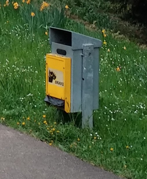
| 10:11, 19 April 2015 | Hundekottütenspender 1.jpg (file) |  |
82 KB | A dispenser for dog poop bags. | 1 |
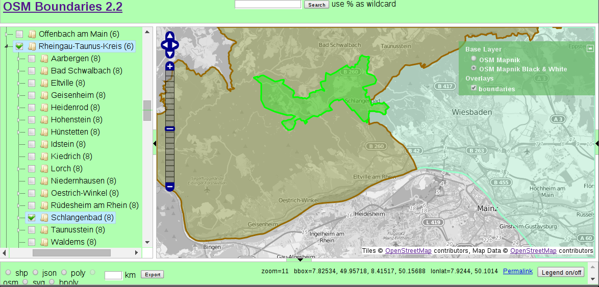
| 11:27, 22 March 2015 | OSM Boundaries Map.png (file) |  |
364 KB | Screenshot of OSM Boundaries Map. Permission here: http://forum.openstreetmap.org/viewtopic.php?pid=492707#p492707 URL: https://osm.wno-edv-service.de/boundaries/idx22o.jsp?zoom=14&lat=50.11864&lon=8.13099&layers=0BT&selected=403139_62746 | 1 |
| 20:15, 1 February 2015 | OsmLaneVisualizer example 1.png (file) |  |
13 KB | Cropped part of output OsmLaneVisualizer on 2015-02-01 Link: http://osm.mueschelsoft.de/cgi-bin/render.pl?url=<osm-script+output%3D"json"+timeout%3D"25"><union><query+type%3D"way"><id-query+ref%3D"324294469"+type%3D"way"%2F><%2Fquery><%2Funion><print+m... | 1 |