Uploads by Julienfastre
Jump to navigation
Jump to search
This special page shows all uploaded files.
| Date | Name | Thumbnail | Size | Description | Versions |
|---|---|---|---|---|---|
| 13:53, 30 May 2014 | JOSM window public transport stop area fr.png (file) | 25 KB | 1 | ||
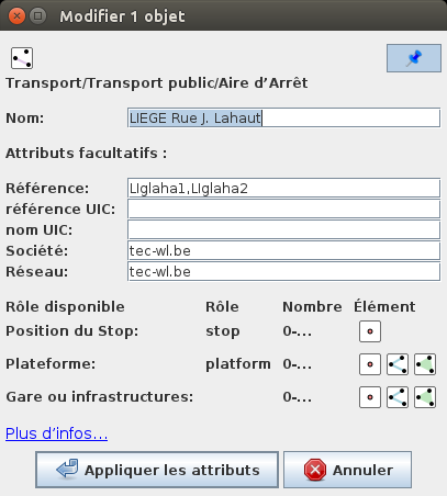
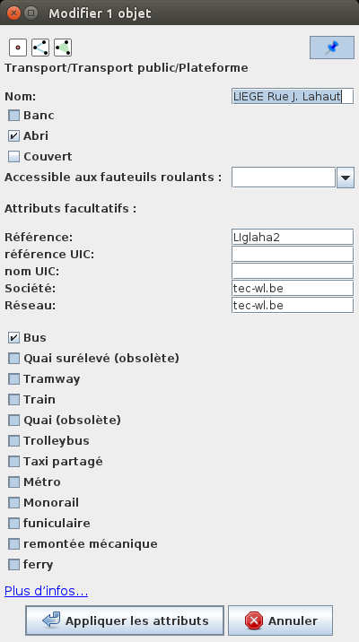
| 13:50, 30 May 2014 | JOSM window public transport platform fr.png (file) | 30 KB | 1 | ||
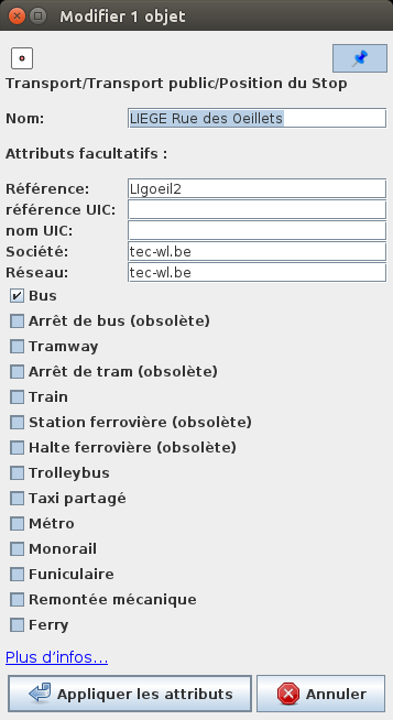
| 13:48, 30 May 2014 | JOSM window stop position fr.png (file) |  |
27 KB | Window "stop position" in JOSM | 1 |
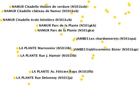
| 13:10, 28 May 2014 | Champs-Libres WMS OpenStreetMapBelgique-TEC bus stop latest.png (file) |  |
28 KB | a tile from the WMS server "Champs Libres" | 1 |
| 07:39, 25 March 2014 | Belgian OSM contributor Opinion to plan stratégique geomatique wallonne.pdf (file) | 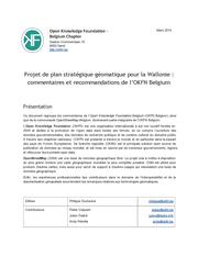 |
275 KB | This document was sent to the Minister in charge of cartography on the Waloon Governement on 24 March 2014, in response to the [[File:Projet de plan stratégique géomatique pour la Wallonie (Belgique).pdf| projet de plan stratégique pour la géomatiq... | 1 |
| 18:48, 25 February 2014 | Projet de plan stratégique géomatique pour la Wallonie (Belgique).pdf (file) | 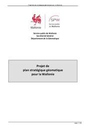 |
693 KB | Projet de plan stratégique pour la géomatique Wallonne. Adopté par le Conseil des Ministres régionaux le 13 février 2014. En discussion pendant 35 jours. | 1 |
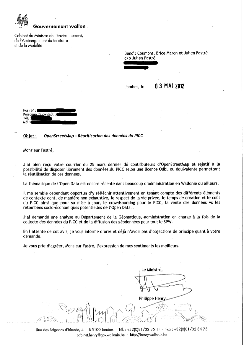
| 14:16, 27 July 2012 | Réponse Cabinet Henry Demande de Libération de Données Region Wallonne.png (file) |  |
200 KB | 1 | |
| 20:07, 25 March 2012 | Demande libération données openstreetmap ministre henry région wallonne.pdf (file) |  |
27 KB | Mail sent to Minister Philippe Henry (http://henry.wallonie.be) on 25th March 2012 by Julien Fastré, Brice Marron (eMerzh) and Benoit Coumont (Nondidju) for asking to open some cartographic data in Walloon Region | 1 |
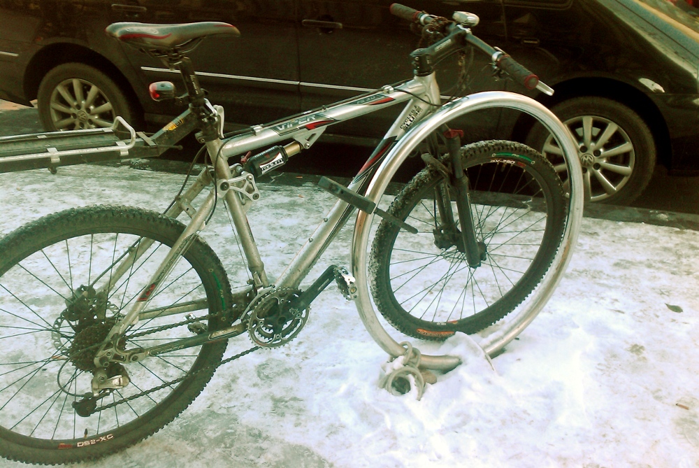
| 12:04, 21 December 2010 | Common bicycle parking in liege.jpg (file) |  |
359 KB | Bicycle Parking in the city of Liege - in the snow | 1 |