Uploads by K1wi
Jump to navigation
Jump to search
This special page shows all uploaded files.
| Date | Name | Thumbnail | Size | Description | Versions |
|---|---|---|---|---|---|
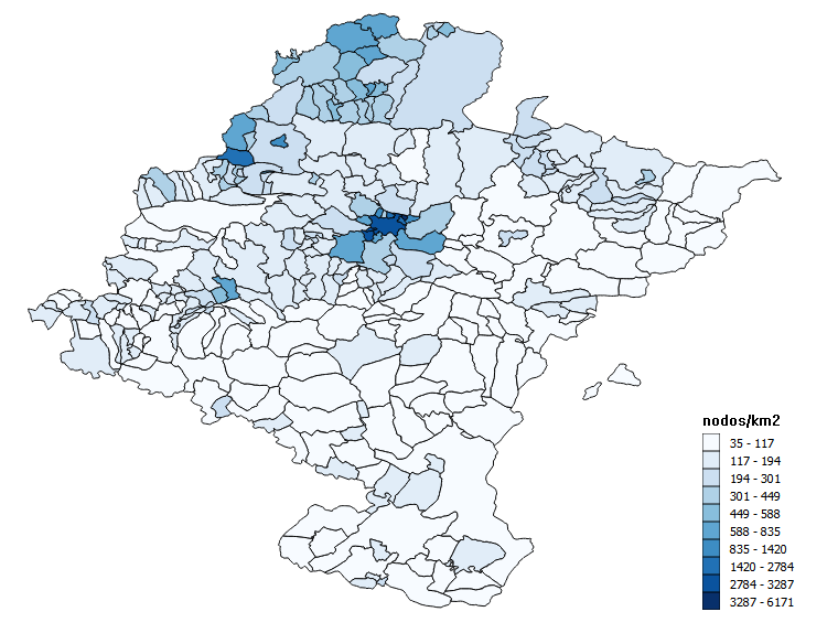
| 20:27, 9 October 2016 | Densidad de nodos por municipios de Navarra.png (file) |  |
163 KB | añado leyenda | 2 |
| 23:53, 3 May 2016 | Dicotomía normalización.svg (file) |  |
14 KB | fix | 2 |
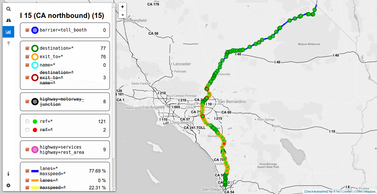
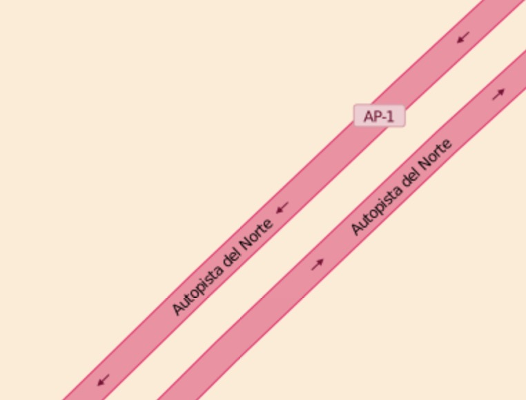
| 10:33, 20 February 2016 | CheckAutopista2.png (file) |  |
244 KB | new sidebar tabs | 2 |
| 13:43, 26 January 2016 | Example render highway tertiary.jpeg (file) |  |
25 KB | 1 | |
| 13:21, 26 January 2016 | Example render highway secondary.jpeg (file) |  |
26 KB | 1 | |
| 13:13, 26 January 2016 | Example render highway motorway.jpeg (file) |  |
34 KB | 1 | |
| 13:06, 26 January 2016 | Example render highway primary.jpeg (file) |  |
41 KB | 1 | |
| 13:02, 26 January 2016 | Example render highway trunk.jpeg (file) |  |
38 KB | 1 | |
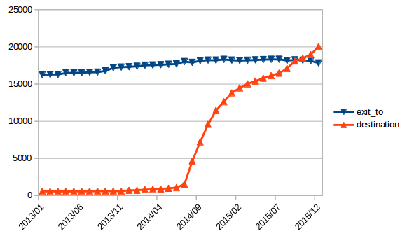
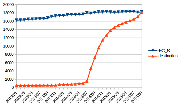
| 11:15, 12 December 2015 | Exit to vs destination 1.png (file) |  |
34 KB | Evolution of exit_to and destination tags in the United States. Update of File:Exit_to_vs_destination.png | 1 |
| 17:42, 19 September 2015 | Exit to vs destination.png (file) |  |
41 KB | Fixed old data. | 1 |
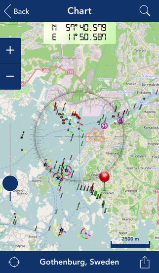
| 13:23, 28 June 2015 | Topogps.jpeg (file) |  |
44 KB | 1 | |
| 12:58, 28 June 2015 | Mytracksios.jpeg (file) |  |
72 KB | 1 | |
| 12:40, 28 June 2015 | Osmhunter.jpeg (file) |  |
70 KB | 1 | |
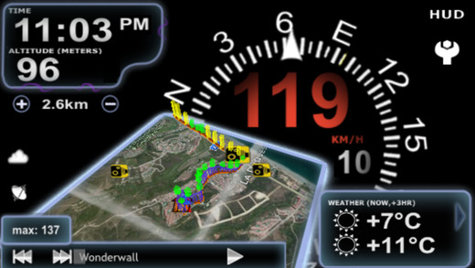
| 15:19, 27 June 2015 | World Maps Offline screenshots.jpg (file) |  |
31 KB | 2 | |
| 15:18, 27 June 2015 | Navfree screenshot.jpg (file) |  |
39 KB | 3 | |
| 15:01, 27 June 2015 | Trackntrail screenshot.jpg (file) |  |
95 KB | 2 | |
| 14:56, 27 June 2015 | UK TravelOptions 3D London.jpg (file) |  |
77 KB | 2 | |
| 14:54, 27 June 2015 | Mapquest4moblie screenshot.jpg (file) |  |
53 KB | 2 | |
| 14:51, 27 June 2015 | Naviki app screenshot.jpg (file) |  |
43 KB | 2 | |
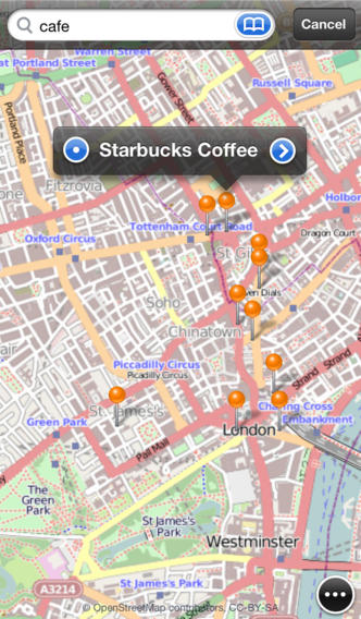
| 14:47, 27 June 2015 | Screen2-en-search.jpg (file) |  |
59 KB | 2 | |
| 14:42, 27 June 2015 | Viewranger.jpeg (file) |  |
150 KB | 1 | |
| 14:36, 27 June 2015 | Navitel navigator screenshot.jpg (file) |  |
71 KB | 2 | |
| 14:32, 27 June 2015 | GPSies App screenshot.jpg (file) |  |
65 KB | 2 | |
| 14:29, 27 June 2015 | OPenMaps screenshot.jpg (file) |  |
64 KB | 3 | |
| 14:27, 27 June 2015 | The Map screenshot.png (file) |  |
475 KB | 5 | |
| 14:24, 27 June 2015 | Seewetterpro ios.png (file) |  |
381 KB | 2 | |
| 14:17, 27 June 2015 | Main lond scr.png (file) |  |
227 KB | 2 | |
| 14:15, 27 June 2015 | Cyclehire4.0.jpg (file) |  |
87 KB | 2 | |
| 14:00, 27 June 2015 | Gaia GPS screenshot.jpg (file) |  |
148 KB | 2 | |
| 13:57, 27 June 2015 | Arcgis app screenshot.jpg (file) |  |
62 KB | 2 | |
| 13:48, 27 June 2015 | Komoot-iphone-app.png (file) |  |
340 KB | 2 | |
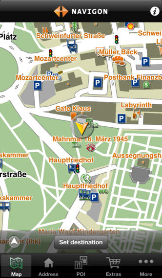
| 13:39, 27 June 2015 | Navigon urban screenshot.jpg (file) |  |
53 KB | 2 | |
| 13:37, 27 June 2015 | GPS Kit screenshot.jpg (file) |  |
52 KB | 3 | |
| 13:32, 27 June 2015 | Geoguide3d app screenshot.jpg (file) |  |
151 KB | 2 | |
| 13:09, 27 June 2015 | IPhone 5 portrait osm 01.png (file) |  |
428 KB | 2 | |
| 13:04, 27 June 2015 | Looking4Cache.png (file) |  |
266 KB | 2 | |
| 13:00, 27 June 2015 | MotionX-GPS screenshot.jpg (file) |  |
77 KB | 2 | |
| 12:43, 27 June 2015 | Pitstop.png (file) |  |
204 KB | 2 | |
| 12:17, 27 June 2015 | GPS-Tracks.png (file) |  |
461 KB | 2 | |
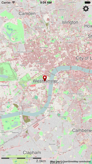
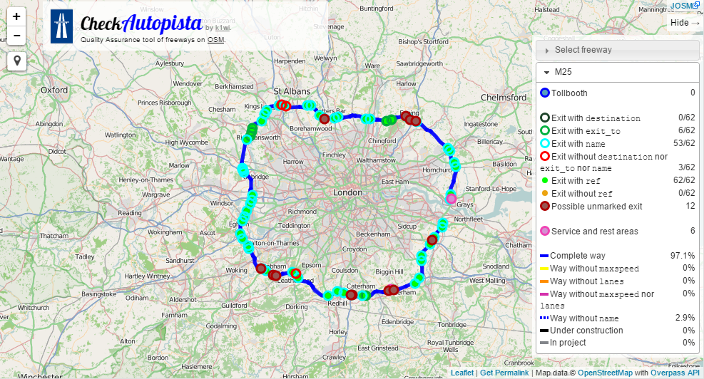
| 11:44, 19 June 2015 | CheckAutopistaLondon.png (file) |  |
468 KB | New version | 2 |
| 18:06, 31 May 2014 | Iphone-with-mapswithme.jpg (file) |  |
228 KB | 2 | |
| 17:53, 31 May 2014 | Mapp.png (file) |  |
411 KB | 2 | |
| 17:46, 31 May 2014 | Trails GPS Tracker screenshot.jpg (file) | 65 KB | 2 | ||
| 17:22, 31 May 2014 | PocketEarthSS.jpg (file) |  |
55 KB | 2 | |
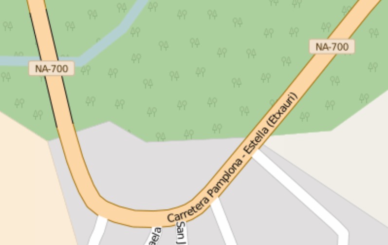
| 11:43, 26 April 2014 | Mapnik highway=motorway junction example.png (file) |  |
10 KB | http://www.openstreetmap.org/#map=17/42.30797/-3.82272 | 1 |
| 22:27, 13 April 2014 | Skobbler screenshot.png (file) |  |
361 KB | image showing navigation | 4 |
| 22:22, 13 April 2014 | NavFree bug reporting.jpg (file) |  |
118 KB | screenshot | 3 |