Uploads by Klumbumbus
Jump to navigation
Jump to search
This special page shows all uploaded files.
| Date | Name | Thumbnail | Size | Description | Versions |
|---|---|---|---|---|---|
| 12:53, 4 September 2020 | Incline icon.svg (file) | 319 bytes | transparent background and cleaned with svg cleaner | 2 | |
| 12:52, 4 September 2020 | IconLayerchecker.svg (file) |  |
216 bytes | transparent background and cleaned with svg cleaner | 2 |
| 09:40, 6 July 2019 | Semi detached tags 201709.svg (file) |  |
96 KB | update 2019-07-06 | 2 |
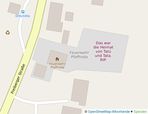
| 12:41, 26 September 2016 | Tatutata.png (file) |  |
28 KB | Kartenausschnitt vom Mapnik-Rendering auf osm.org Kartendaten: [http://www.openstreetmap.org/copyright © OpenStreetMap contributors] ODbL Kacheln: Creative Commons Attribution-ShareAlike 2.0 | 1 |
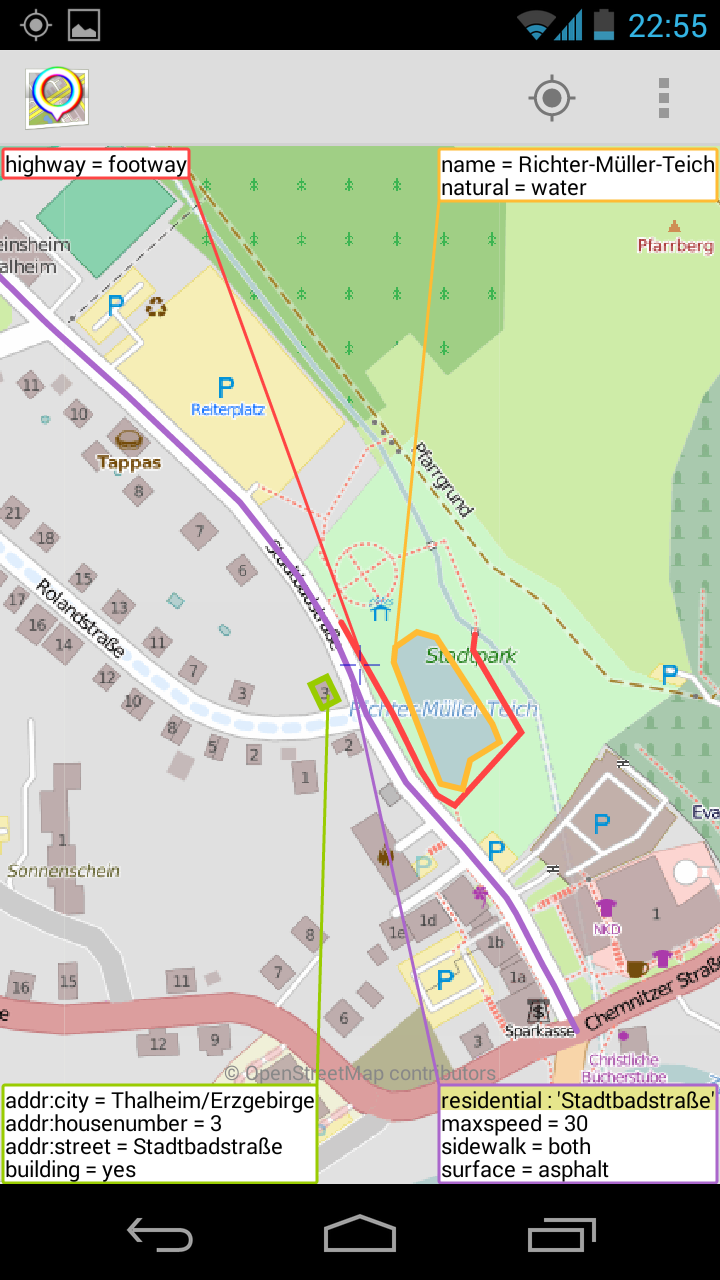
| 13:22, 10 October 2014 | Screenshot OSMfocus.png (file) |  |
284 KB | Screenshoot of Android app OSMfocus. map data: [http://www.openstreetmap.org/copyright © OpenStreetMap contributors] background map tiles: Mapnik: [http://creativecommons.org/licenses/by-sa/2.0/ CC BY-SA 2.0] | 1 |
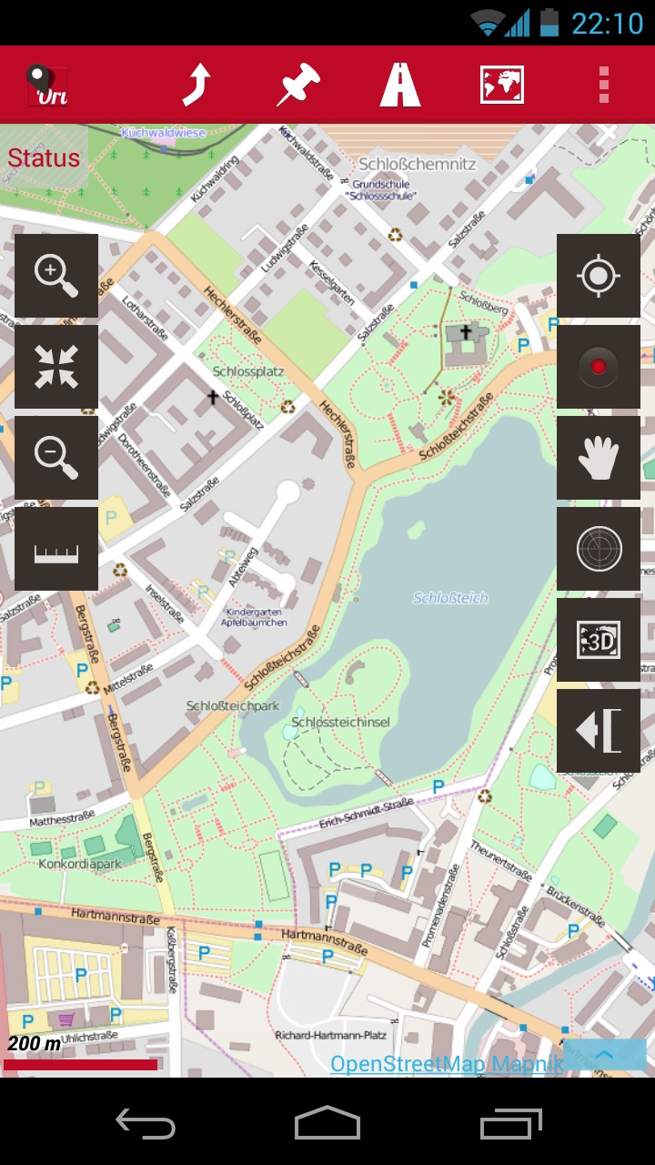
| 20:16, 8 October 2014 | Oruxmaps.jpg (file) |  |
270 KB | replace very old screenshot by one with current GUI | 2 |
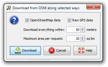
| 13:46, 27 September 2014 | Download from OSM along selected ways.png (file) |  |
37 KB | new layout | 2 |
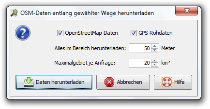
| 13:45, 27 September 2014 | OSM-Daten entlang gewählter Wege herunterladen.png (file) |  |
41 KB | new layout | 2 |
| 21:42, 17 September 2014 | Sac scale icon.png (file) | 476 bytes | Icon for http://josm.openstreetmap.de/wiki/Styles/sac_scale | 1 | |
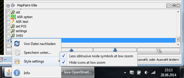
| 21:16, 28 August 2014 | Style settings.png (file) |  |
41 KB | new JOSM style settings in default mappaint style | 1 |
| 17:21, 21 August 2014 | Hausnummern in name tag.png (file) |  |
33 KB | how not to use name tag Kartenausschnitt vom Mapnik-Rendering auf osm.org Kartendaten: [http://www.openstreetmap.org/copyright © OpenStreetMap contributors] Kacheln: Creative Commons Attribution-ShareAlike 2.0 | 1 |
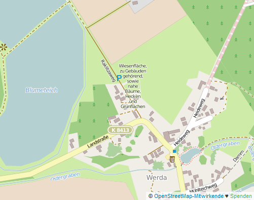
| 20:08, 20 August 2014 | Name wiesenfläche.png (file) |  |
50 KB | how not to use name tag Kartenausschnitt vom Mapnik-Rendering auf osm.org Kartendaten: [http://www.openstreetmap.org/copyright © OpenStreetMap contributors] Kacheln: Creative Commons Attribution-ShareAlike 2.0 | 1 |
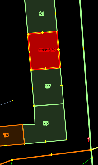
| 13:56, 14 August 2014 | Coloured streets missing addr.street.png (file) |  |
17 KB | 1 | |
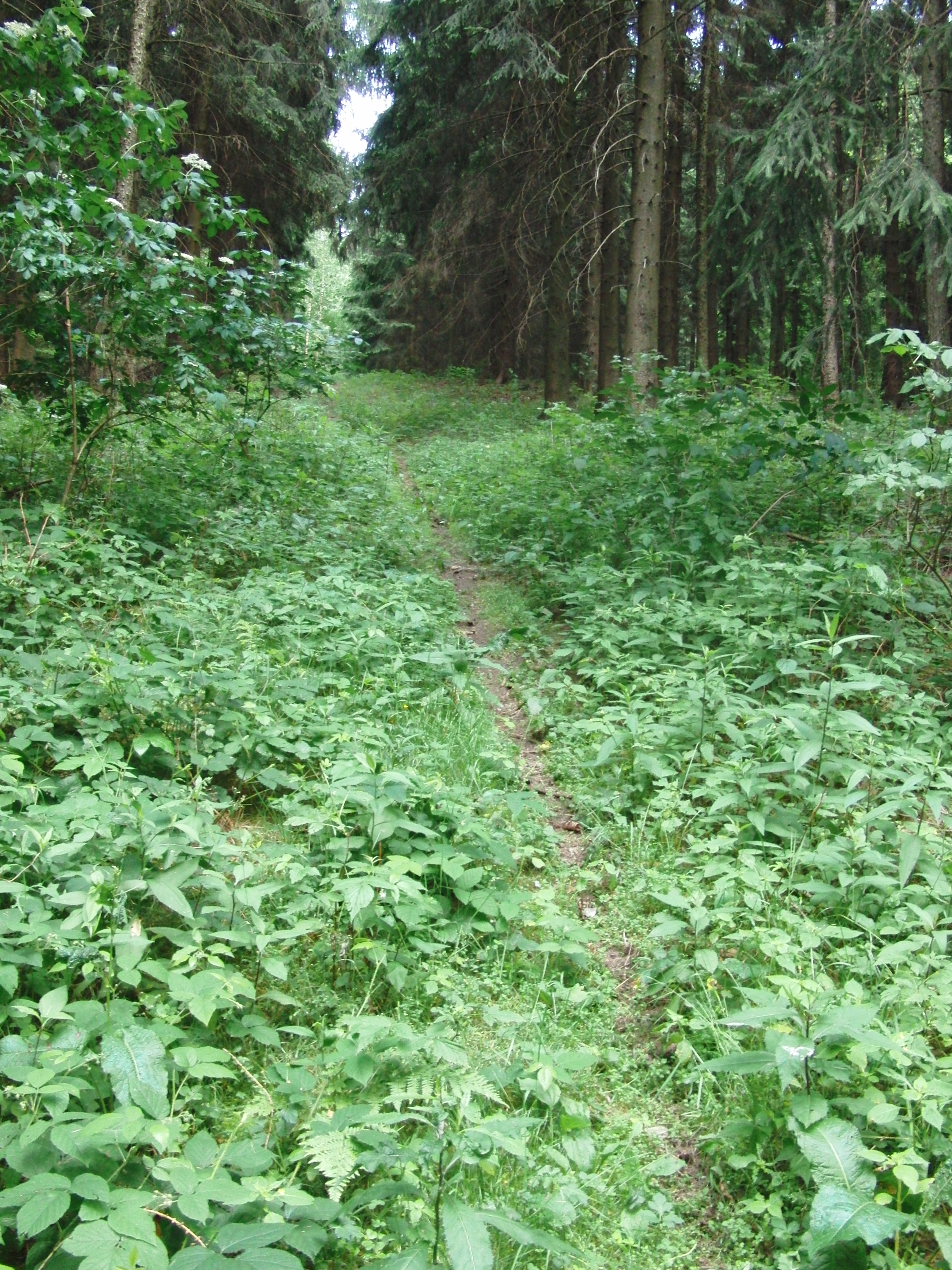
| 18:30, 17 June 2014 | Waldpfad in Thalheim.jpeg (file) |  |
2.92 MB | 1 | |
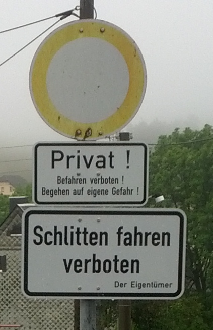
| 18:25, 13 June 2014 | Schlitten fahren verboten.jpg (file) |  |
145 KB | 1 | |
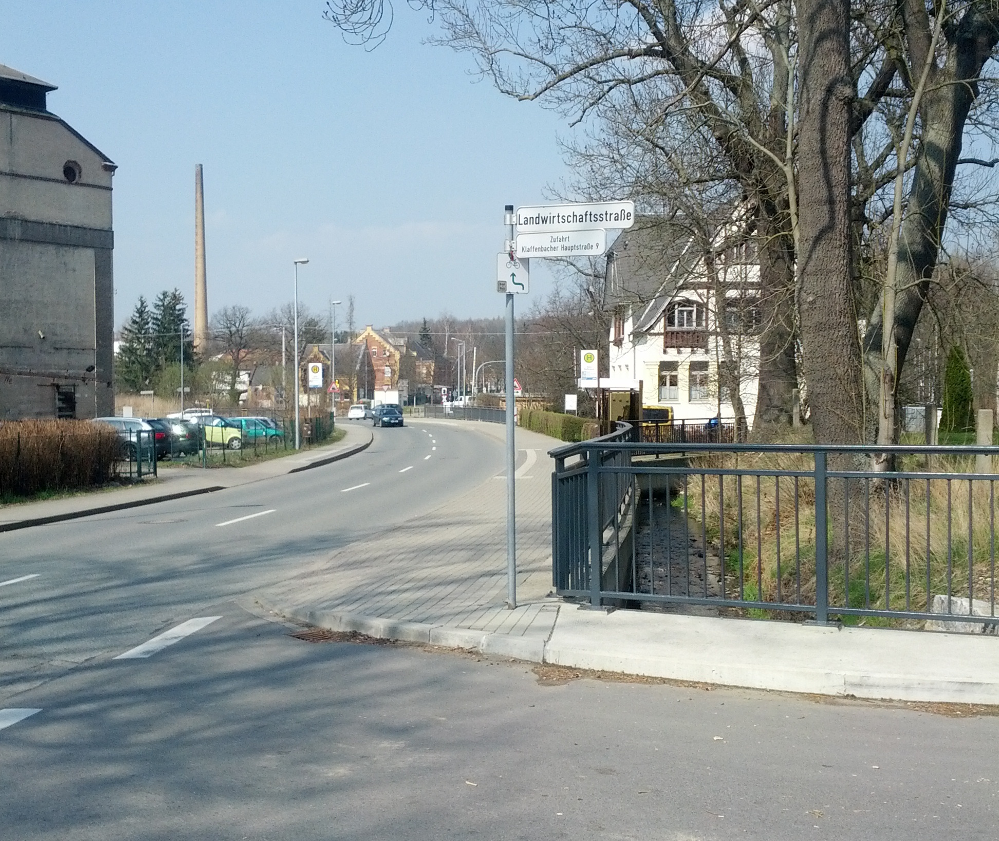
| 17:12, 31 March 2014 | Landwirtschaftsstraße als Straßenname.jpg (file) |  |
1.16 MB | 1 | |
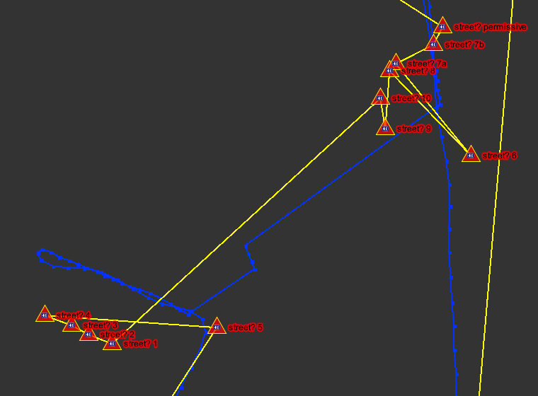
| 23:39, 24 March 2014 | Example tagging sequenze.png (file) |  |
31 KB | gps-spur (blau) und Hausnummern mit Keypadmapper3 getaggt. Aus nodes erzeugter gps-track (gelb) um die Reihenfolge nachzuvollziehen. Mappaint-Stil "Coloured Streets" aktiviert. | 1 |
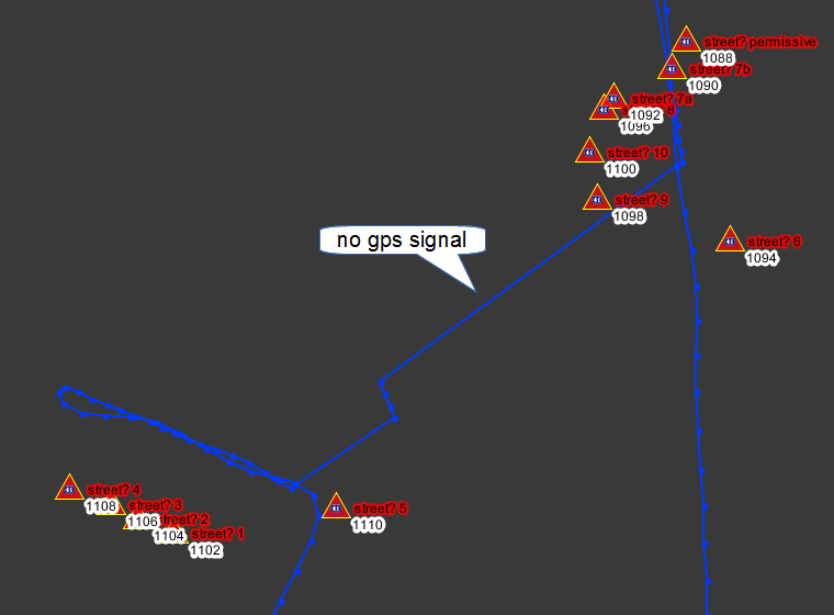
| 23:33, 24 March 2014 | ExampleShowID.png (file) |  |
52 KB | gps-spur (blau) und Hausnummern mit Keypadmapper3 getaggt. Mappaint-Stile "Coloured Streets" und "ShowID" aktiviert. | 1 |
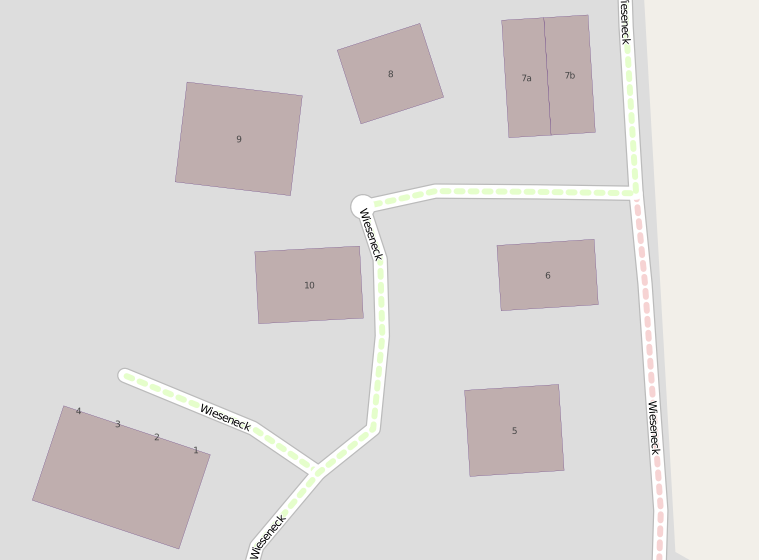
| 23:26, 24 March 2014 | Mapnikauschnitt für showid.png (file) |  |
58 KB | Kartenausschnitt vom Mapnik-Rendering auf osm.org Kartendaten: [http://www.openstreetmap.org/copyright © OpenStreetMap contributors] Kacheln: Creative Commons Attribution-ShareAlike 2.0 | 1 |
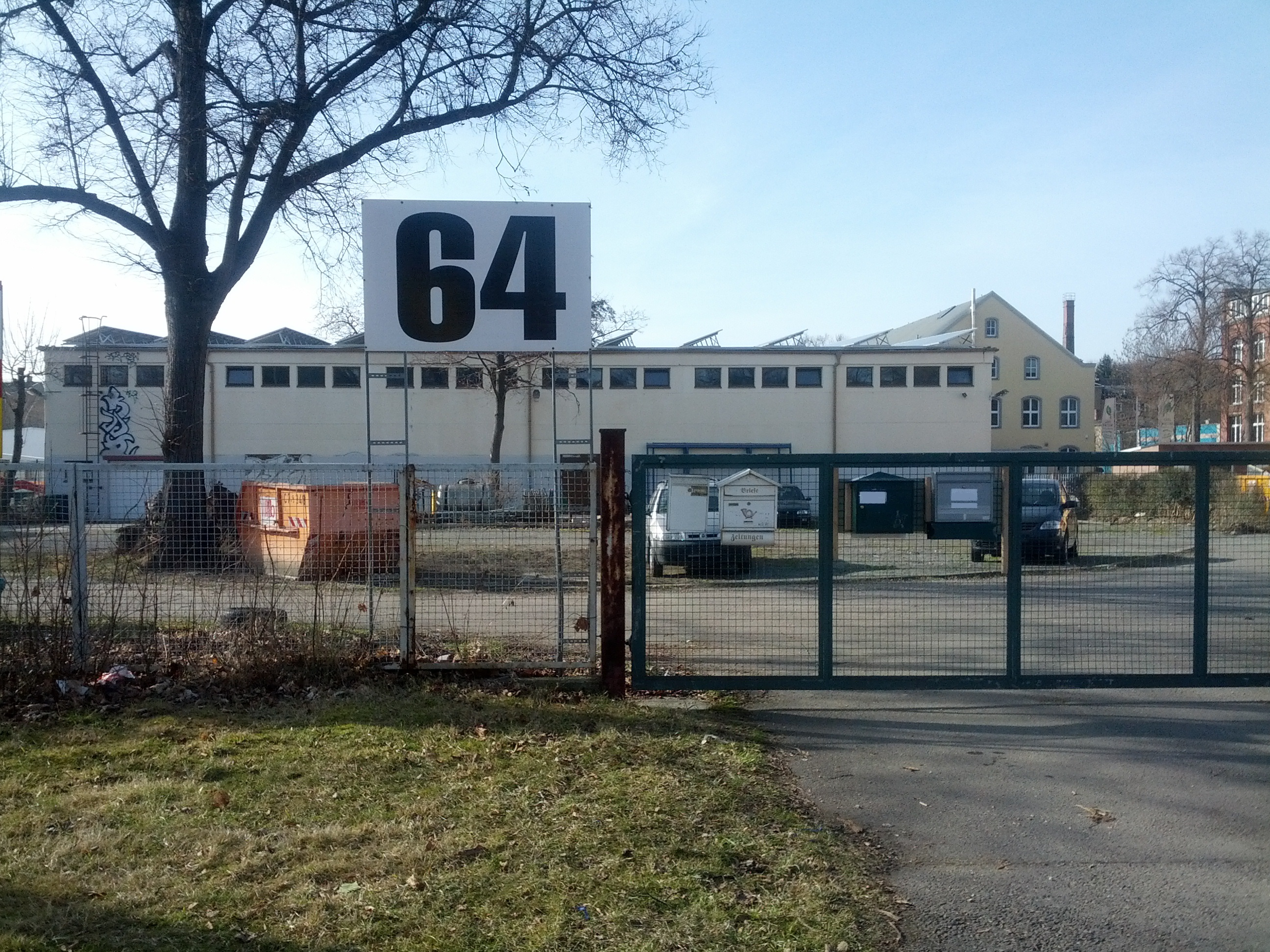
| 13:16, 22 March 2014 | Große Hausnummer.jpg (file) |  |
1.87 MB | Sehr vorbildlich. Hausnummer ist gut zu erkennen. | 1 |
| 22:38, 20 March 2014 | ExampleColouredStreets.png (file) |  |
389 KB | 1 | |
| 22:44, 1 March 2014 | Bank am Dresdner Platz in Chemnitz.jpg (file) |  |
1.34 MB | 1 | |
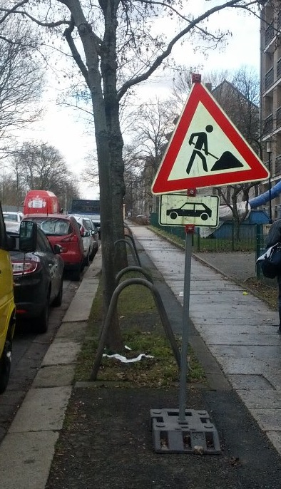
| 19:48, 13 February 2014 | Achtung Baustelle nur für PKW.jpg (file) |  |
135 KB | 1 | |
| 17:45, 13 February 2014 | Comparison JOSM Coloured Streets Coloured Address Data.gif (file) |  |
103 KB | 1 |