Uploads by Komяpa
Jump to navigation
Jump to search
This special page shows all uploaded files.
| Date | Name | Thumbnail | Size | Description | Versions |
|---|---|---|---|---|---|
| 13:45, 17 December 2016 | OSM DB Schema 2016-12-13.svg (file) |  |
2.25 MB | clipped white space | 2 |
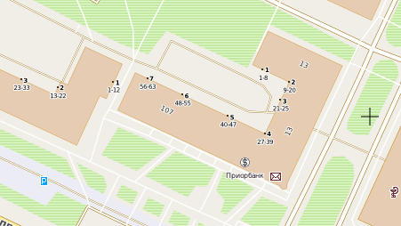
| 09:26, 4 November 2011 | Building entrances cropped.png (file) |  |
11 KB | Screenshot from http://openstreetmap.by/ shows rendering of {{Key|entrance}} with {{Key|ref}} and addr:flats (small version) | 1 |
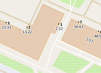
| 09:12, 4 November 2011 | Building Entrances.png (file) |  |
47 KB | Screenshot from http://openstreetmap.by/ shows rendering of {{Key|entrance}} with {{Key|ref}} and addr:flats | 1 |
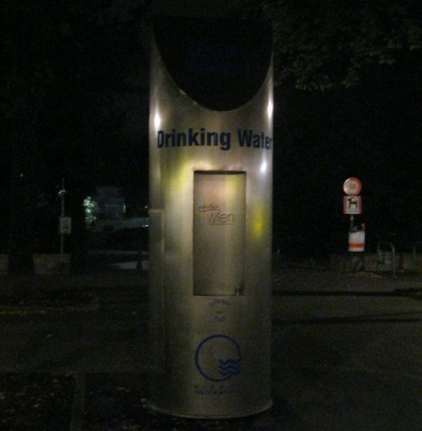
| 01:58, 18 July 2011 | Drinking Water point in Vienna, Austria.jpg (file) |  |
47 KB | A bright example of amenity=dringing_water in Vienna, Austria Photo taken after SOTM EU'11 | 1 |
| 22:30, 26 August 2010 | Kothic-kosmosnimki.png (file) |  |
179 KB | A proof-of-concept: 15-line MapCSS stylesheet to make up a style that resembles maps from kosmosnimki.ru. | 1 |
| 22:25, 26 August 2010 | Kothic-metrics3.png (file) |  |
581 KB | Kothic rendering of widths and surfaces | 1 |
| 22:22, 26 August 2010 | Kothic-metrics6.png (file) |  |
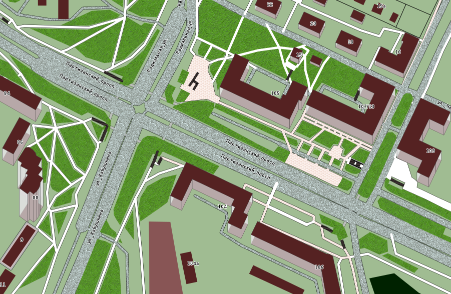
67 KB | Kothic rendering of {{Key|amenity|bench}}. | 1 |
| 22:18, 26 August 2010 | Kothic-metrics7.png (file) |  |
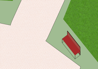
98 KB | Rendering of lanes as separate lines. | 1 |
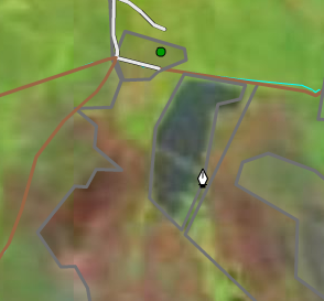
| 20:04, 14 August 2010 | Howto-fires9.png (file) |  |
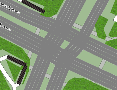
161 KB | burnt place contour and tags | 1 |
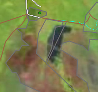
| 20:00, 14 August 2010 | Howto-fires7.png (file) |  |
80 KB | well-aligned realtime imagery in Potlatch | 1 |
| 19:57, 14 August 2010 | Howto-fires6.png (file) |  |
98 KB | misaligned realtime imagery in Potlatch. | 1 |
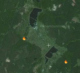
| 19:56, 14 August 2010 | Howto-fires5.png (file) |  |
87 KB | fires.kosmosnimki.ru IRS screenshot | 1 |
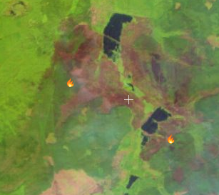
| 19:55, 14 August 2010 | Howto-fires4.png (file) |  |
111 KB | fires.kosmosnimki.ru realtime satellite imagery screenshot | 1 |
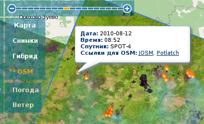
| 19:54, 14 August 2010 | Howto-fire3.png (file) |  |
144 KB | fires.kosmosnimki.ru popup screenshot | 1 |
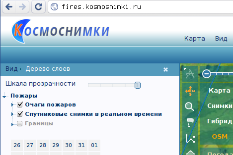
| 19:52, 14 August 2010 | Howto-fires2.png (file) |  |
58 KB | http://fires.kosmosnimki.ru screenshot | 1 |
| 13:30, 12 June 2010 | Mapcss-shield.png (file) |  |
17 KB | A basic idea what is where in generic MapCSS shield. | 1 |
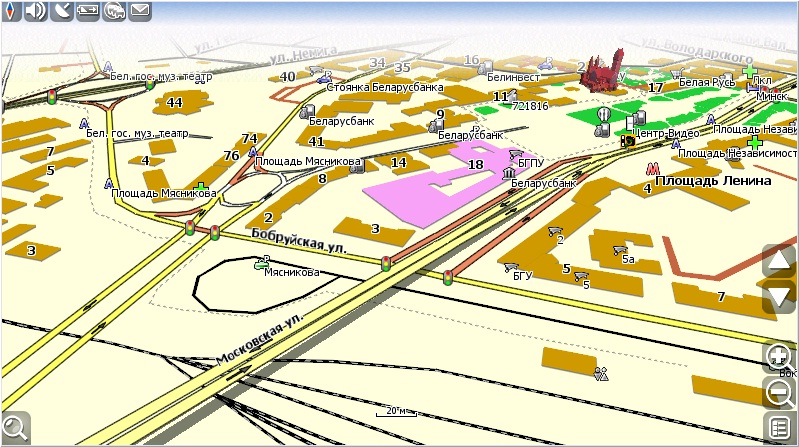
| 14:56, 17 April 2010 | Navitel-3d-roads.jpg (file) |  |
187 KB | Rendering of 3D roads in Navitel Navigator commercial navigation software. Map data is OpenStreetMap, converted with osm2mp. | 1 |