Uploads by Mungewell
Jump to navigation
Jump to search
This special page shows all uploaded files.
| Date | Name | Thumbnail | Size | Description | Versions |
|---|---|---|---|---|---|
| 04:26, 23 July 2009 | Highlight unconnected ways.png (file) |  |
86 KB | Screen cap showing non-routable ways, with lack of terminus node. | 1 |
| 04:06, 16 July 2009 | Coleman school walk.png (file) |  |
549 KB | First rendering of contours showing distance to school along routable ways. | 1 |
| 17:07, 8 July 2009 | Observation tower.svg (file) |  |
3 KB | Icon for use as 'man_made=tower', 'towertype=observation' | 1 |
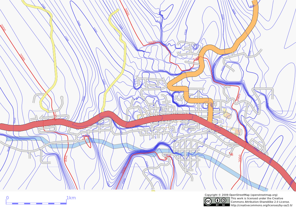
| 19:10, 5 July 2009 | Crowsnest pass map.png (file) |  |
142 KB | 2 | |
| 03:52, 2 July 2009 | Communications tower.svg (file) |  |
8 KB | 3 | |
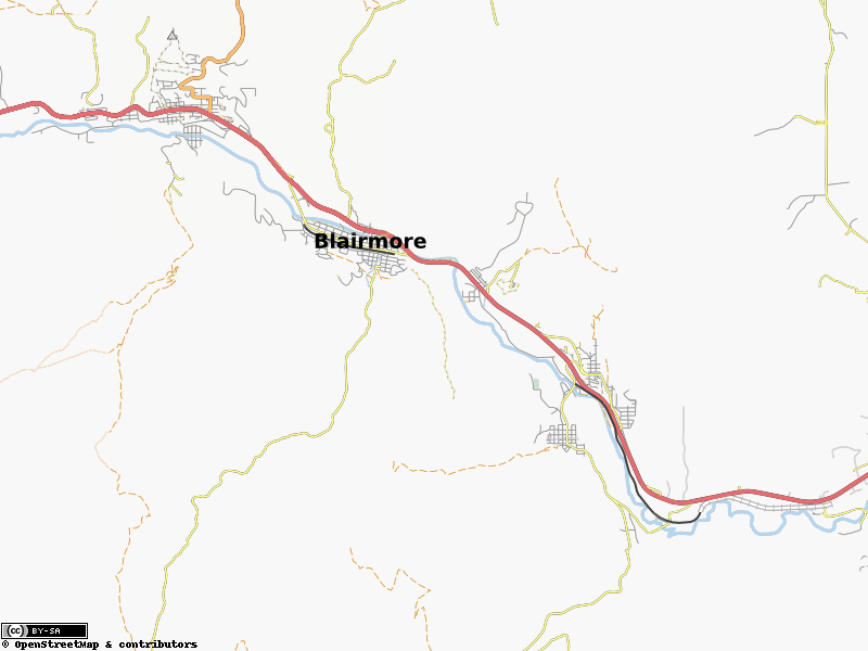
| 00:13, 22 August 2008 | Crowsnest-gps-map.JPG (file) |  |
81 KB | Downloadable Garmin-GPS map made with 100% free data. Roads/etc from OSM, contours from SRTM data. | 1 |
| 06:50, 29 May 2008 | Osmarender with relationroutes.png (file) |  |
225 KB | Screen Capture showing the first attempt of rendering RelationRoutes with Osmarender. Enable by setting showRelationRoutes='yes'. | 1 |
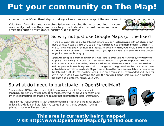
| 03:12, 10 April 2008 | Recruitment poster mungewell.png (file) |  |
212 KB | Slightly modified and tidied up for publication | 2 |