Uploads by Nyampire
Jump to navigation
Jump to search
This special page shows all uploaded files.
| Date | Name | Thumbnail | Size | Description | Versions |
|---|---|---|---|---|---|
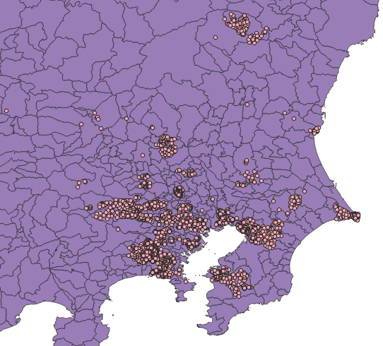
| 09:14, 8 February 2023 | Japan SAPAmapping irregular.png (file) |  |
786 KB | {{Information | description= | source= | date= 2023/02/08 | author= nyampire | other_versions= }} | 1 |
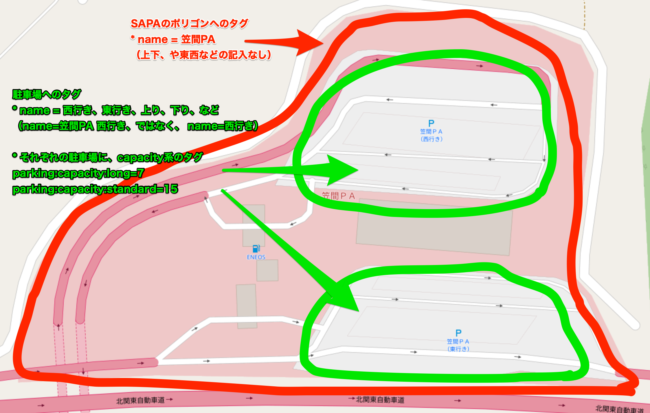
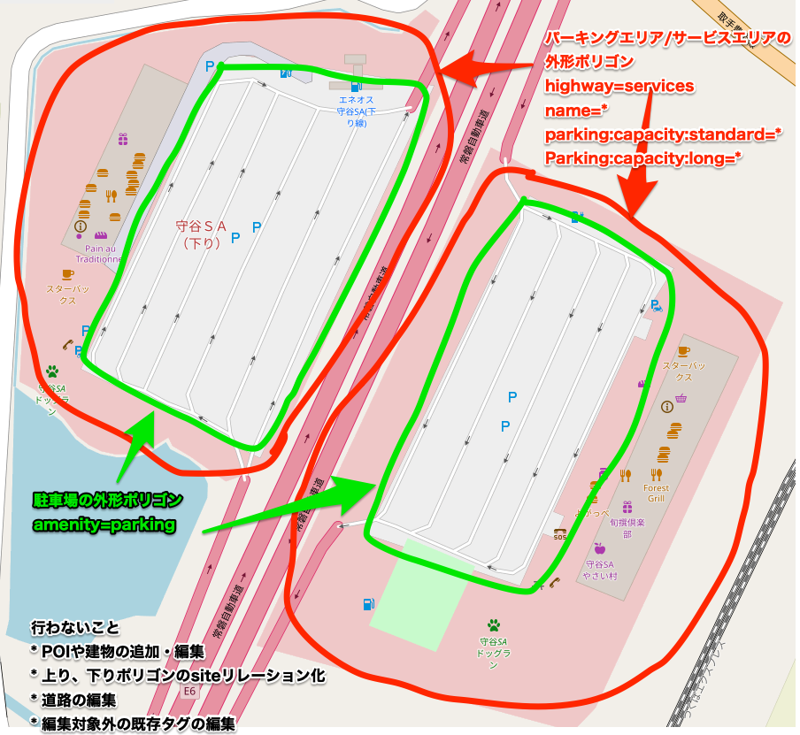
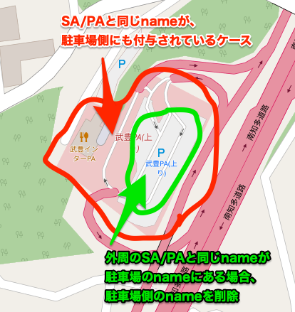
| 06:00, 8 February 2023 | SAPA Japan, mapping target.png (file) |  |
370 KB | 2 | |
| 08:34, 8 November 2022 | SAPAmapping case 1.png (file) |  |
121 KB | 1 | |
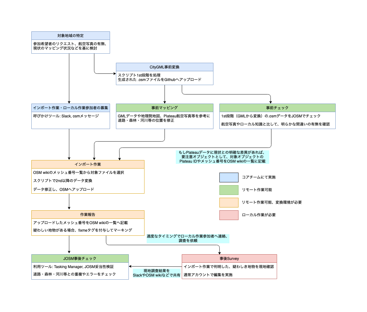
| 06:16, 13 May 2022 | PlateauImportWorkflow.png (file) |  |
170 KB | 1 | |
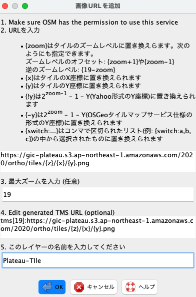
| 04:46, 8 April 2022 | How to add PlateauTile onto JOSM.png (file) |  |
74 KB | 1 | |
| 07:20, 16 March 2022 | Kenkyo-mitei-jp-01.png (file) |  |
324 KB | Update image with newer version of GSI maps. | 2 |
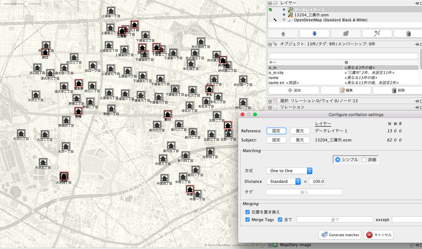
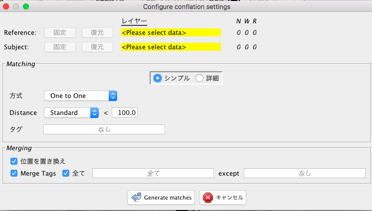
| 07:17, 5 September 2019 | ISJ JP Conflation4.png (file) |  |
101 KB | 1 | |
| 07:16, 5 September 2019 | ISJ JP Conflation3.png (file) |  |
234 KB | 1 | |
| 07:15, 5 September 2019 | ISJ JP Conflation2.png (file) |  |
743 KB | 1 | |
| 07:12, 5 September 2019 | ISJ JP Conflation.png (file) |  |
53 KB | 1 | |
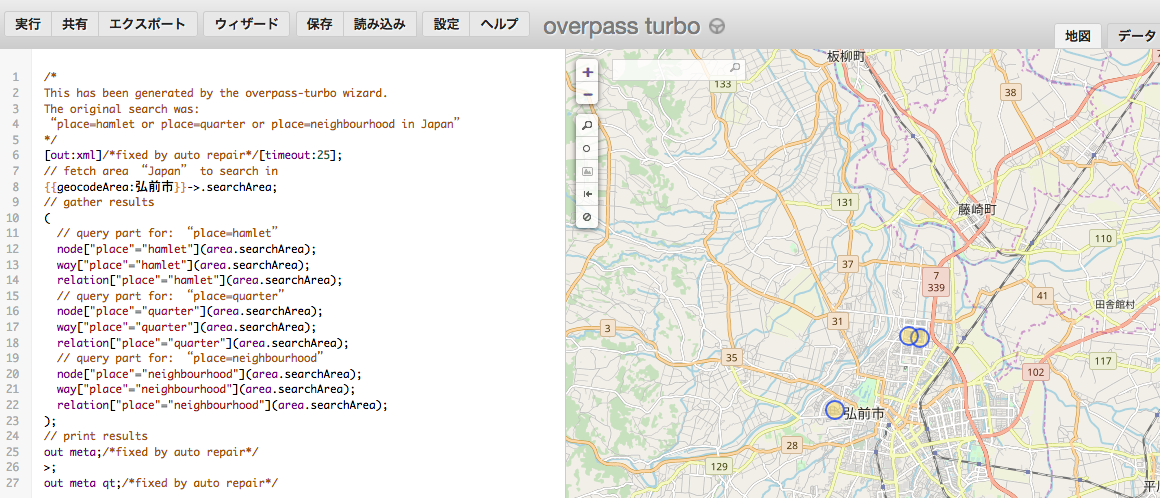
| 07:10, 5 September 2019 | ISJ JP OverPass Result.png (file) |  |
696 KB | 1 | |
| 07:09, 5 September 2019 | ISJ JP OverPass Export.png (file) |  |
34 KB | 1 | |
| 07:08, 5 September 2019 | ISJ JP OverpassMenu.png (file) | 10 KB | 1 | ||
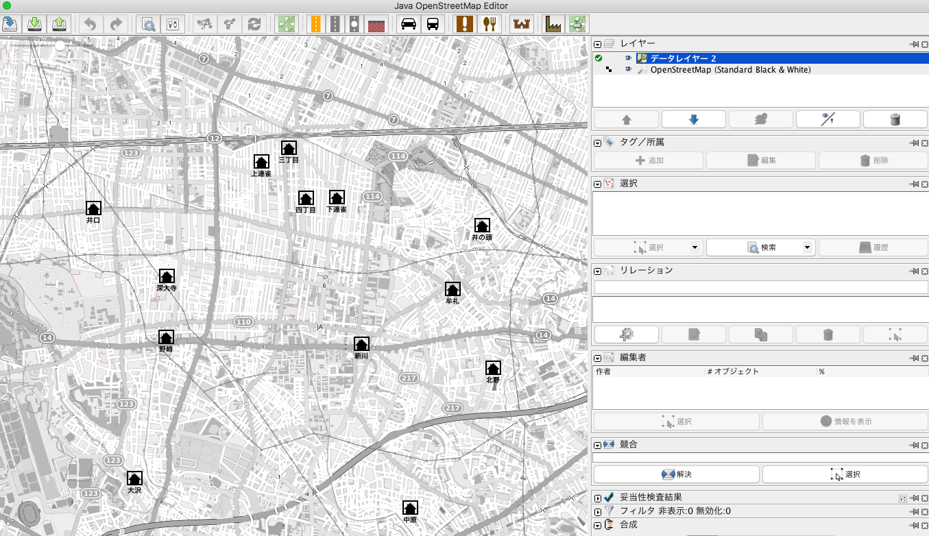
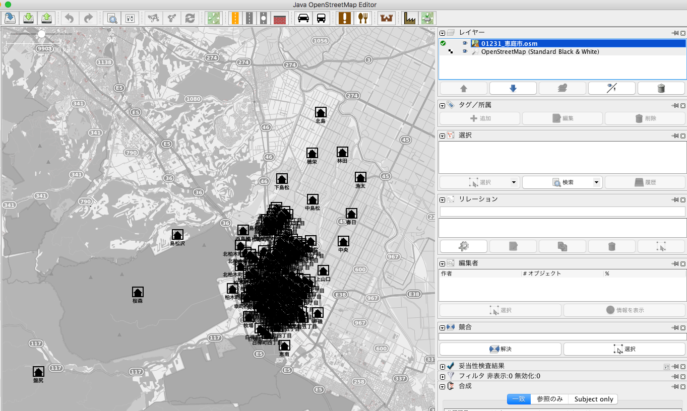
| 07:02, 5 September 2019 | ISJ JP layer1.png (file) |  |
565 KB | 1 | |
| 07:01, 5 September 2019 | ISJ JP Overpass.png (file) |  |
519 KB | 1 | |
| 07:02, 28 August 2019 | Place nodes in Japan.png (file) |  |
222 KB | 1 | |
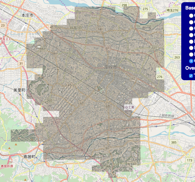
| 22:33, 22 October 2018 | Fukaya ortho imagery.png (file) |  |
792 KB | Open Data Imagery from Fukaya-city, Japan. | 1 |
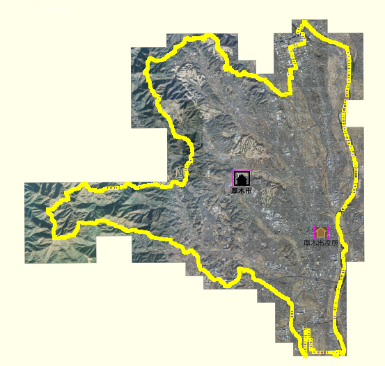
| 15:08, 11 October 2018 | Atsugi-OpenData-imagery.png (file) |  |
365 KB | This is a screenshot of Atsugi-city (Japan) OpenData imagery. | 1 |
| 12:26, 20 October 2015 | ID-customURL.png (file) |  |
211 KB | 1 | |
| 12:24, 20 October 2015 | ID-customlayer.png (file) |  |
40 KB | 1 | |
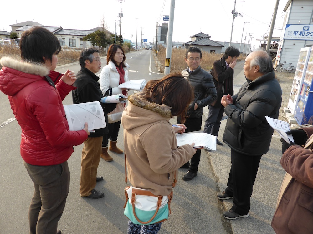
| 06:09, 23 June 2014 | 2014 Natori mapping event.jpg (file) |  |
241 KB | Photo taken on Natori, Yuriage district Mapping Party for reseaching 2011 Japan Tsunami Disastered Area. Aims of this mapping party are following. to map remaining buildings & path. -> collect on OSM to share memory & story -> collect on localwiki Li... | 1 |
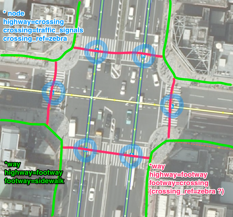
| 13:24, 9 December 2013 | Tagging footway sidewalk.png (file) |  |
1.48 MB | describe on how to tag sidewalk. | 1 |
| 04:36, 4 December 2013 | Babycare 01.png (file) |  |
4 KB | bigger once again | 3 |
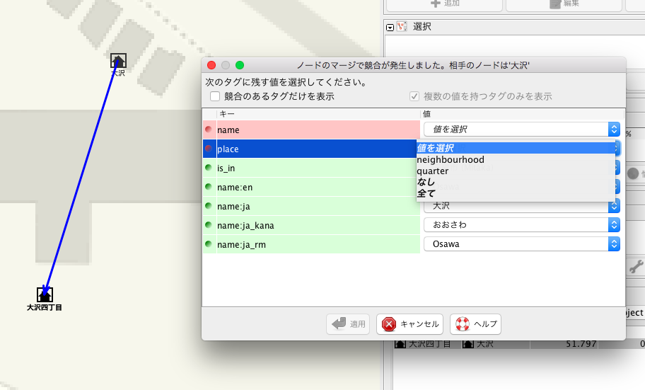
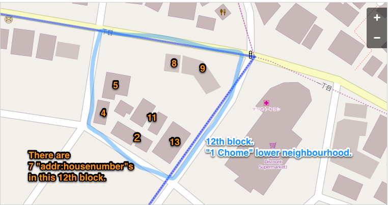
| 07:53, 19 September 2013 | Japanese address housenumber.png (file) |  |
134 KB | to explain Block Address System, Japan. | 1 |
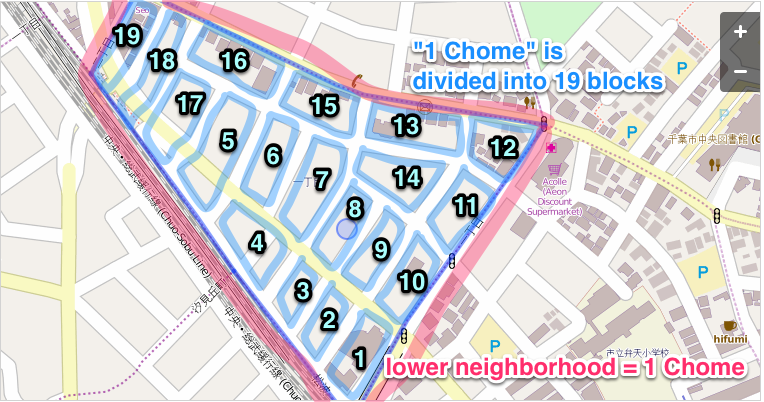
| 07:52, 19 September 2013 | Japanese address blocknumber.png (file) |  |
307 KB | to explain Block Address System, Japan. | 1 |
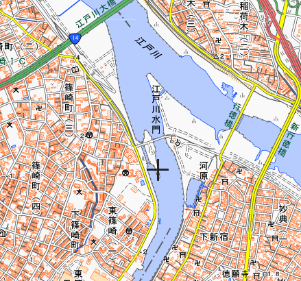
| 04:44, 30 July 2013 | Kenkyo-mitei-jp-05.png (file) |  |
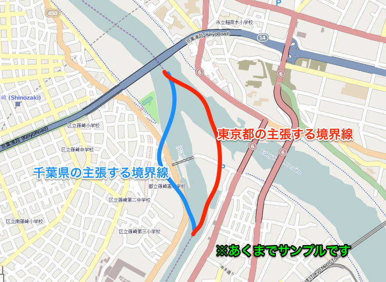
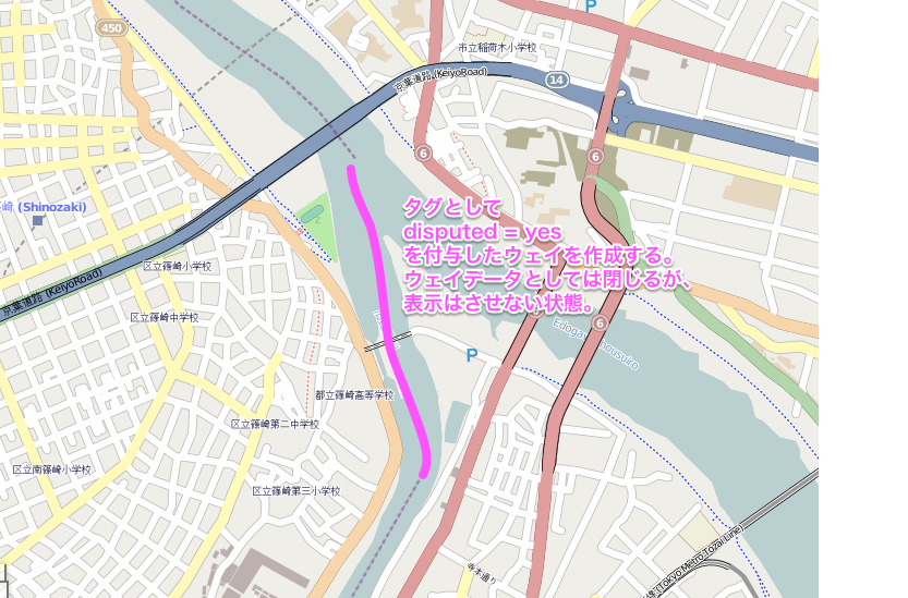
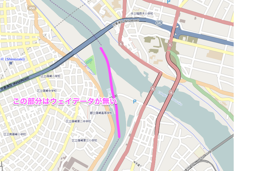
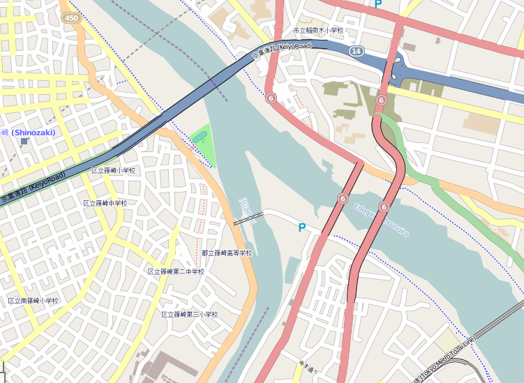
308 KB | Prefecture border on Japan. | 1 |
| 04:44, 30 July 2013 | Kenkyo-mitei-jp-04.png (file) |  |
311 KB | Prefecture border on Japan. | 1 |
| 04:43, 30 July 2013 | Kenkyo-mitei-jp-03.png (file) |  |
290 KB | Prefecture border on Japan. | 1 |
| 04:42, 30 July 2013 | Kenkyo-mitei-jp-02.png (file) |  |
285 KB | Prefecture border on Japan. | 1 |
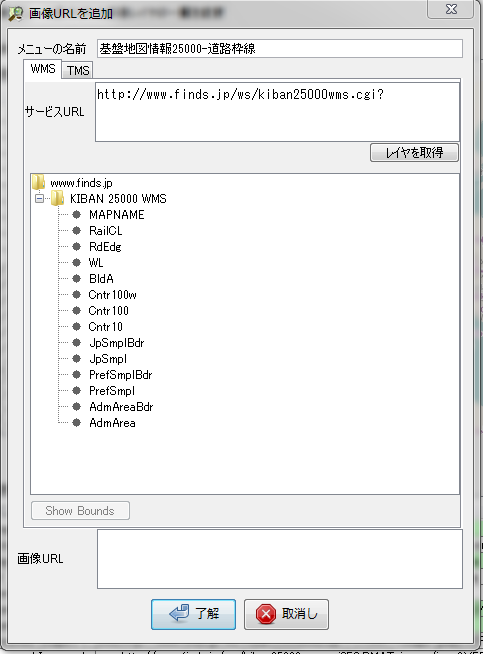
| 05:47, 26 May 2012 | Kiban-WMSsetting03.PNG (file) |  |
54 KB | 1 | |
| 04:12, 26 May 2012 | Kiban-convert-after.PNG (file) |  |
31 KB | 2 | |
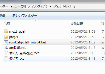
| 16:47, 24 May 2012 | Batch-kiban.PNG (file) |  |
22 KB | 1 | |
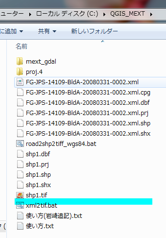
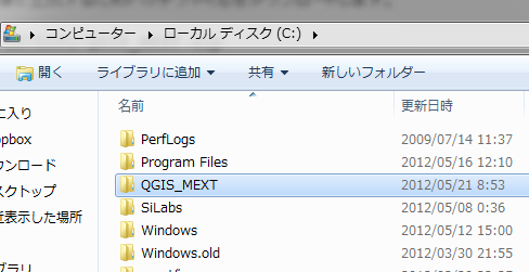
| 16:42, 24 May 2012 | Cdrive.PNG (file) |  |
29 KB | 基盤地図情報を使用する際の説明用イメージ | 1 |
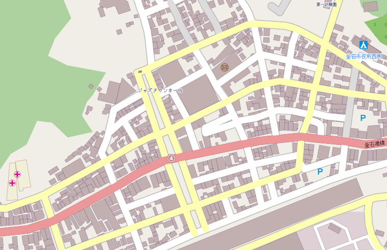
| 04:08, 10 March 2012 | Kamaishi-before-20120310.png (file) |  |
199 KB | 岩手県釜石市復興マッピングパーティ用画像。 マッピングマーティ実施前、2012年03月10日時点。 | 1 |