Uploads by PeterIto
Jump to navigation
Jump to search
This special page shows all uploaded files.
| Date | Name | Thumbnail | Size | Description | Versions |
|---|---|---|---|---|---|
| 22:20, 4 March 2012 | Terraced housing.png (file) |  |
931 KB | Photo of terraced housing. Photo by wikipedia:User:Duncharris. Source. | 1 |
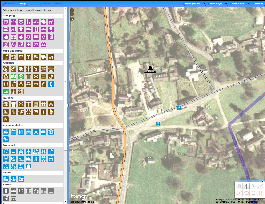
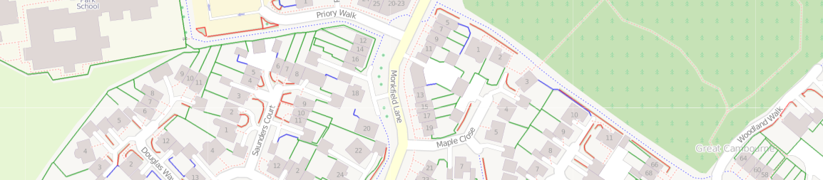
| 22:34, 24 December 2011 | Contributors' guide - Romaldkirk place.png (file) |  |
1.18 MB | Contributors' guide image | 1 |
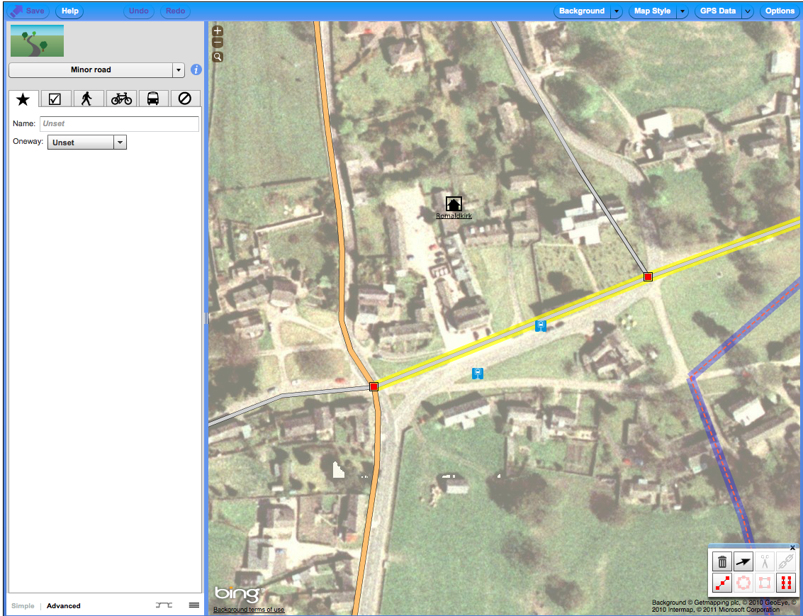
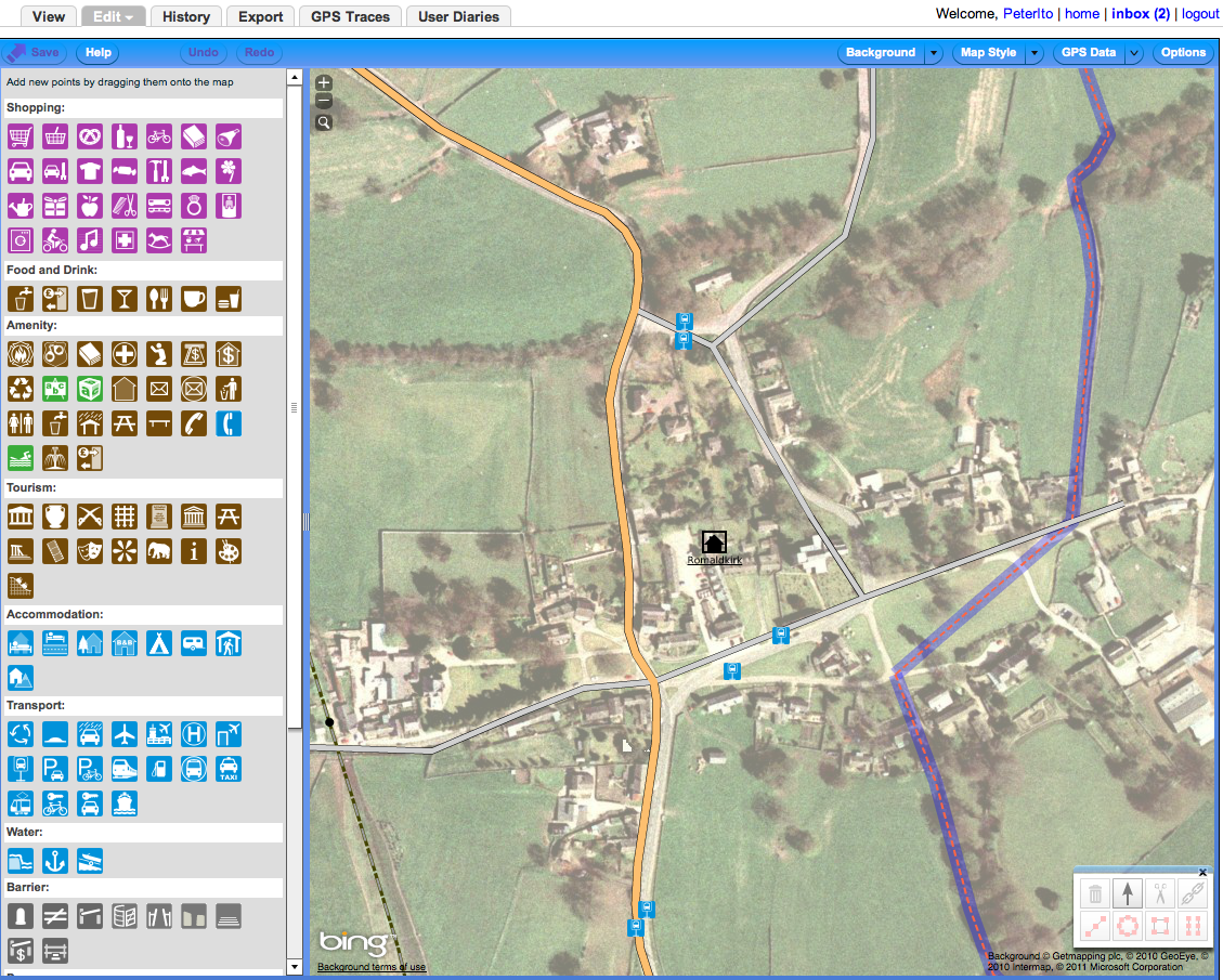
| 16:36, 24 December 2011 | Potlatch guide before advanced tab.png (file) |  |
1.38 MB | Potlatch showing the advance tab selected as used in the Contributors' guide | 1 |
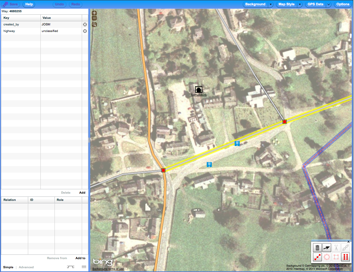
| 15:46, 24 December 2011 | Contributors' guide - Romaldirk potlatch before, with road selected.png (file) |  |
1.38 MB | cropped | 2 |
| 15:39, 24 December 2011 | Romaldirk - Potlatch before closeup.png (file) |  |
1.46 MB | Romaldirk in Potlatch before editing as part of the Contributors' guide. | 1 |
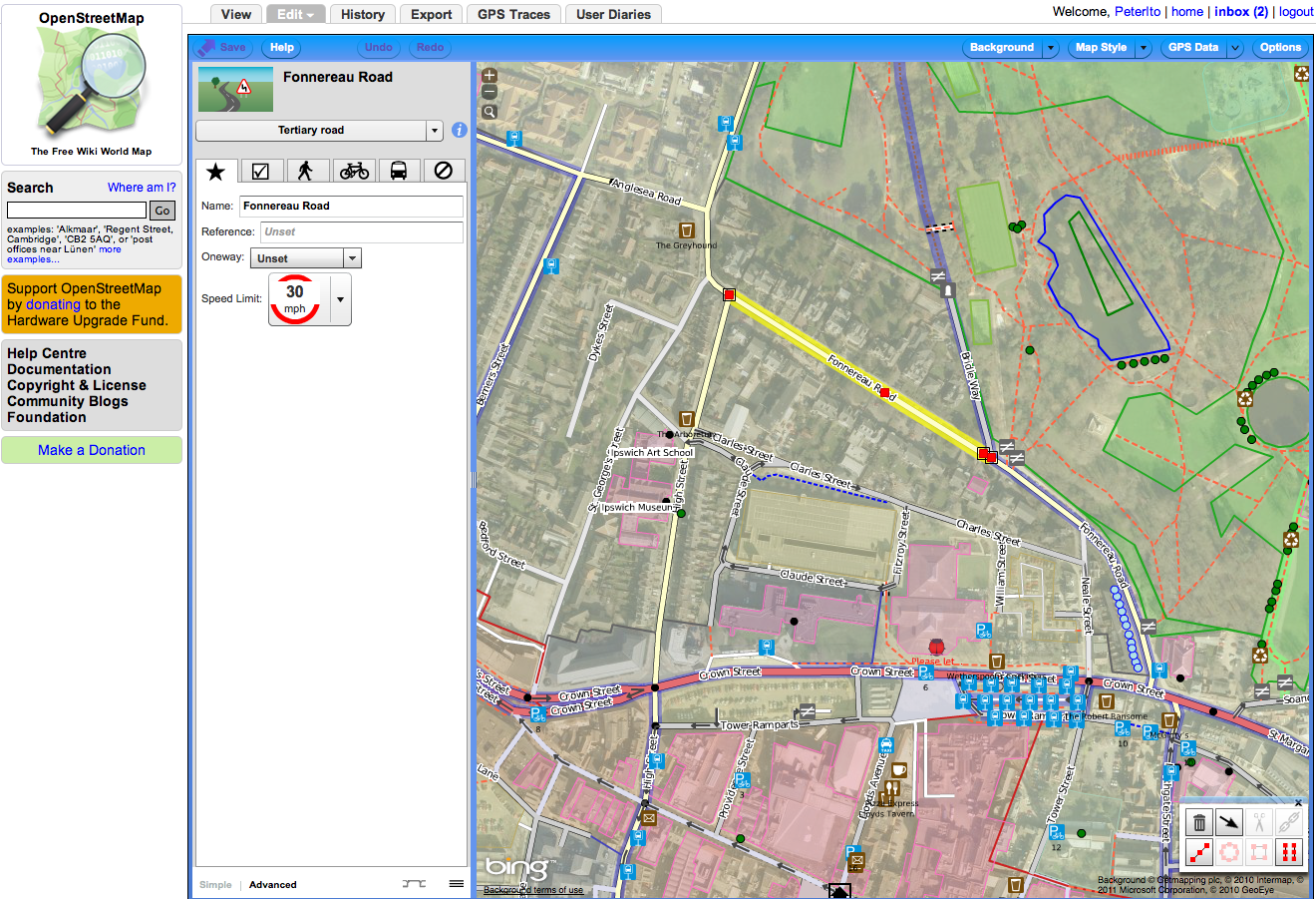
| 15:31, 24 December 2011 | Contributors' guide - Romaldirk - Potlatch before.png (file) |  |
1.53 MB | The Potlatch view of Romaldirk before editing for the Contributors' guide | 1 |
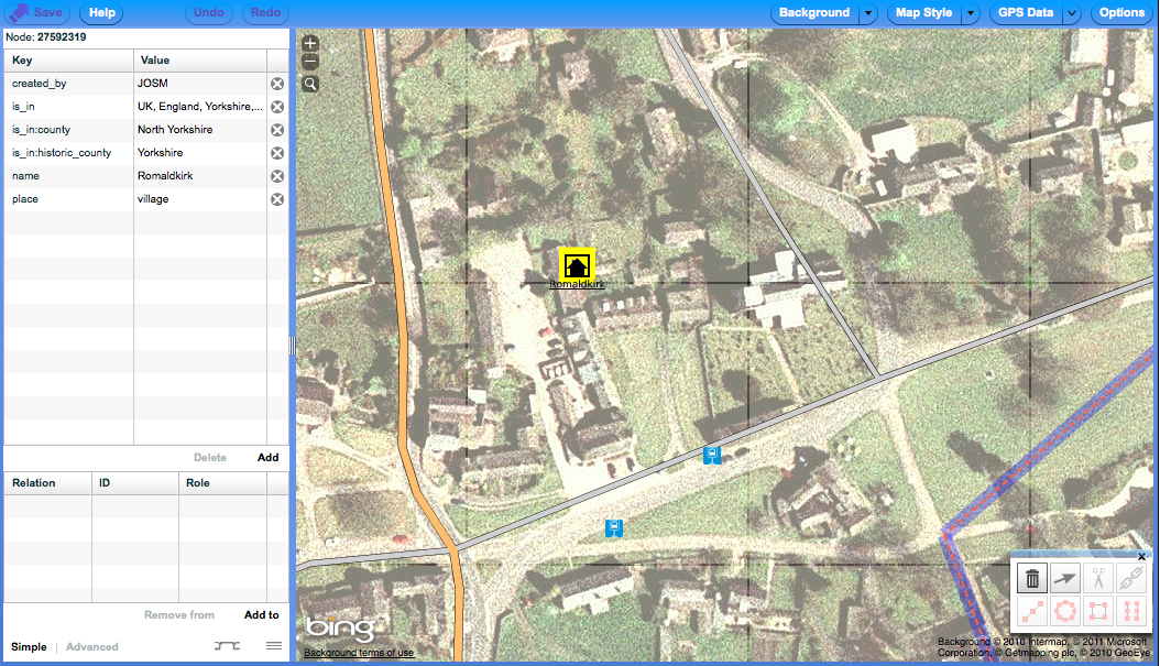
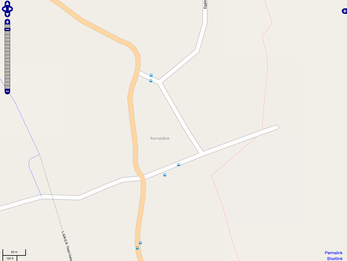
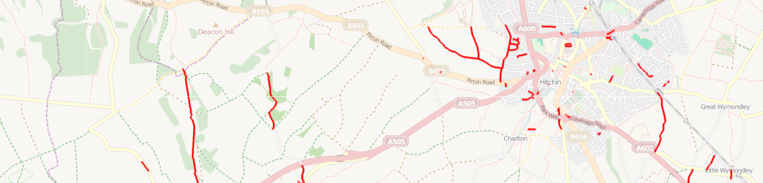
| 15:26, 24 December 2011 | Contributors' guide - Romaldirk before.png (file) |  |
101 KB | Romaldirk, Teesdale before editing for the Contributors' guide | 1 |
| 14:24, 24 December 2011 | Contributors' guide tabs.png (file) | 91 KB | removed excess depth | 2 | |
| 14:01, 24 December 2011 | Signup screen.png (file) |  |
124 KB | Example signup screen | 1 |
| 12:37, 24 December 2011 | Screen Shot 2011-12-24 at 12.35.16.png (file) |  |
1.54 MB | Potlach example screenshot | 1 |
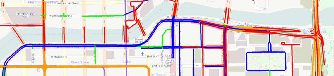
| 08:05, 20 October 2011 | On road bicycle tagging map.png (file) | 270 KB | Showing an image from the 'On-road bicycle tagging' map available through ITO Map. | 1 | |
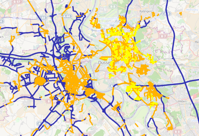
| 08:54, 18 October 2011 | Highway lighting.png (file) |  |
523 KB | View using ITO Map of streets which are lit (orange), lit by gas light (yellow) and unlit (blue). | 1 |
| 08:02, 19 August 2011 | Speed limit Germany.png (file) |  |
843 KB | 2 | |
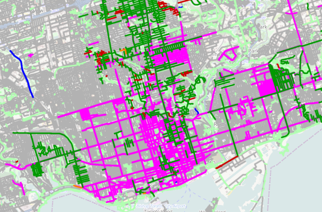
| 15:06, 26 June 2011 | Toronto sidewalks and footways.png (file) |  |
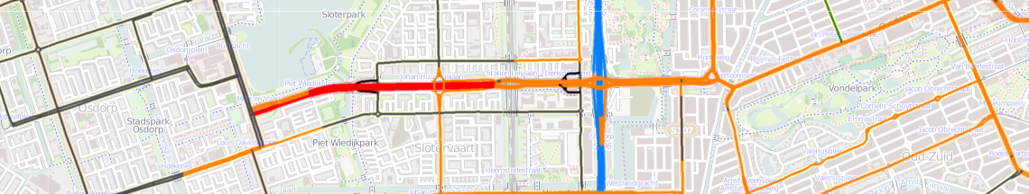
495 KB | A view showing [http://www.itoworld.com/product/data/ito_map/main?view=126&lat=43.64026727210857&lon=-79.36294623408689&zoom=13 footways and sidewalks] in Toronto. | 1 |
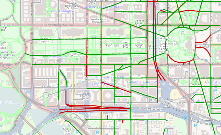
| 15:01, 26 June 2011 | Washington sidewalks.png (file) |  |
389 KB | A view of [http://www.itoworld.com/product/data/ito_map/main?view=126&lat=38.89153390767355&lon=-77.01598870932352&zoom=15 sidewalks in Washington] from ITO Map showing roads with sidewalks in dark green, those without sidewalks in dark red and other | 1 |
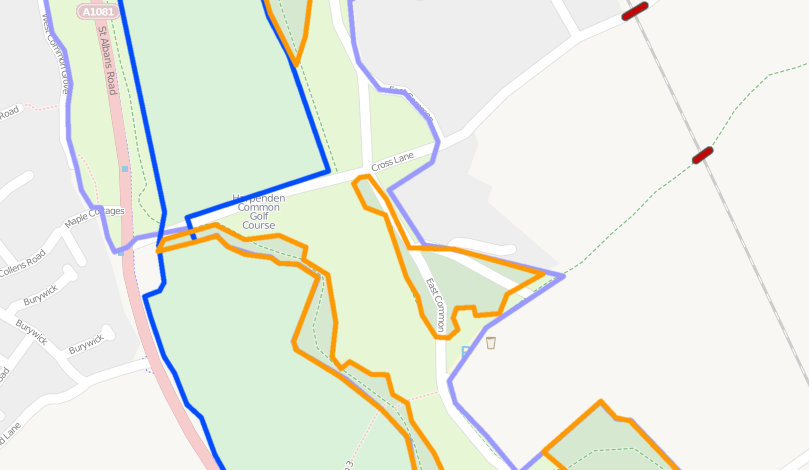
| 22:04, 24 June 2011 | Golf course layers.png (file) |  |
140 KB | [http://www.itoworld.com/product/data/ito_map/main?view=22&lat=51.80084021182912&lon=-0.34501181764892425&zoom=16 Layer tags used incorrectly] with woods on layer 2, a golf course on layer -1 and a common on layer -2. These features are all at ground leve | 1 |
| 07:53, 23 June 2011 | Grand union canal layers.png (file) |  |
157 KB | A [http://www.itoworld.com/product/data/ito_map/main?view=22&lat=52.20235055322115&lon=-1.010427640996868&zoom=16 layers view of a section of the Grand union canal in the UK] showing incorrect layering. The canal switches from surface (no layer) to layer | 1 |
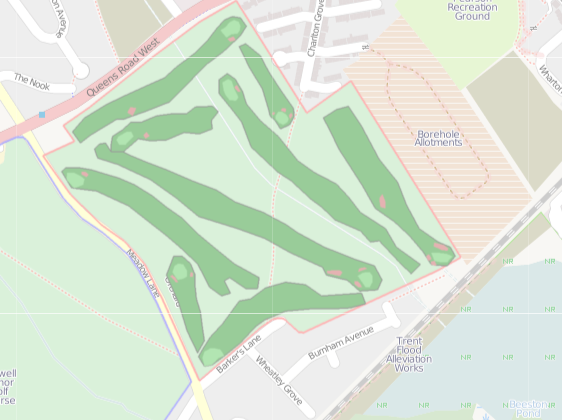
| 08:31, 27 May 2011 | Golf map.png (file) |  |
156 KB | Prototype golf view of [http://alpha.itoworld.com/product/data/ito_map/main?view=47&lat=52.917022372253584&lon=-1.2196352259725196&zoom=16 a golf course] using ITO Map. | 1 |
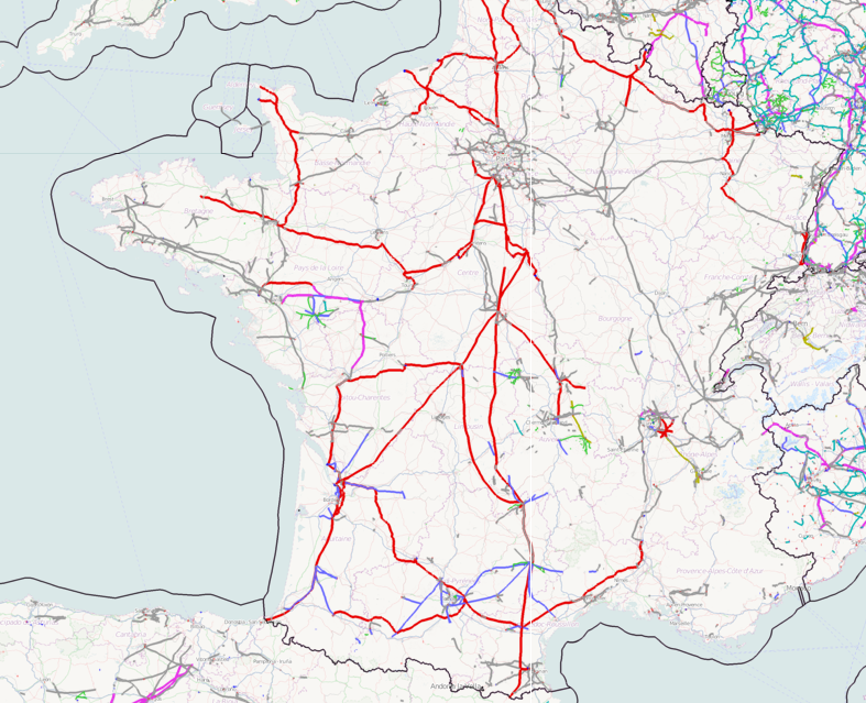
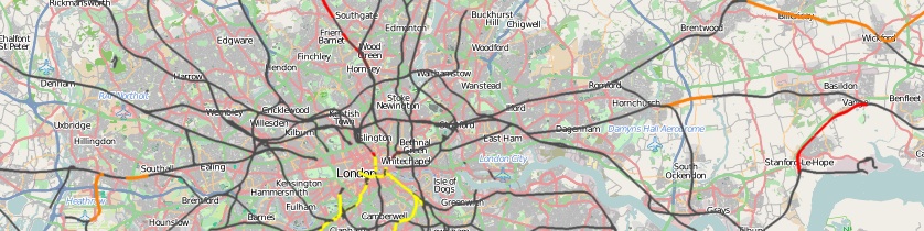
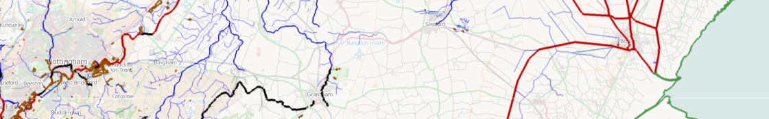
| 08:22, 21 May 2011 | Railways in England and Wales.png (file) |  |
1.09 MB | Railways in England and Wales | 1 |
| 03:31, 21 May 2011 | Electricity distribtion France.png (file) |  |
741 KB | Map showing electrical power distribution system in France using ITO Map | 1 |
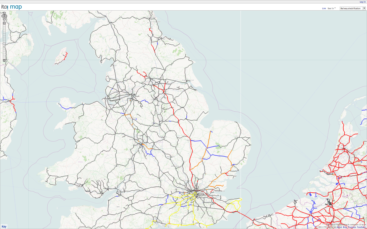
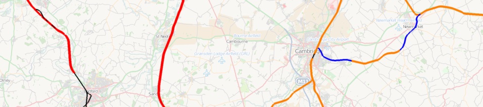
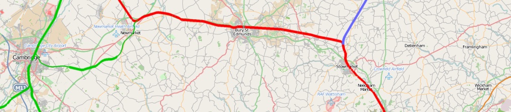
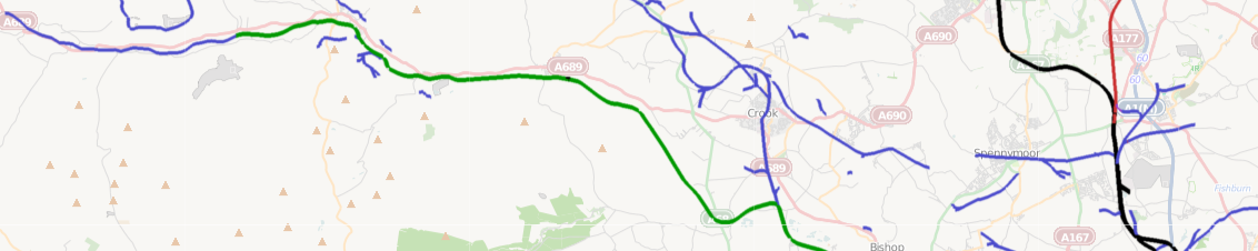
| 06:44, 20 May 2011 | Railway electrification map.png (file) |  |
950 KB | A view from the [http://www.itoworld.com/product/data/ito_map/editor?view=68 railway electrification map] available on ITO Map. | 1 |
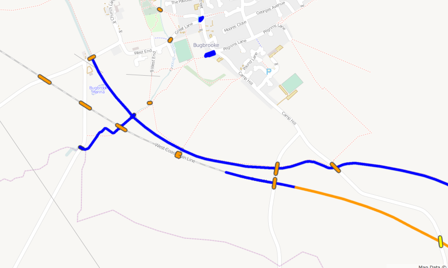
| 09:19, 12 April 2011 | Building heights strip.png (file) | 485 KB | An map overlay for ITO Map showing the heights of buildings defined using the height tag or the building:levels tag. | 1 | |
| 15:36, 7 April 2011 | Railway tracks strip.jpg (file) | 76 KB | A railway tracks overlay from ITO Map | 1 | |
| 15:33, 7 April 2011 | Railway stations strip.jpg (file) | 104 KB | Railway stations overlay from ITO Map. | 1 | |
| 15:32, 7 April 2011 | Electrification strip.jpg (file) | 121 KB | A railway electrification overlay from ITO Map | 1 | |
| 15:30, 7 April 2011 | Railway loading gauge strip.jpg (file) | 116 KB | An ITO Map overlay showing loading gauge | 1 | |
| 15:24, 7 April 2011 | Railway engineering strip.jpg (file) | 135 KB | Railway engineering view from ITO Map. | 1 | |
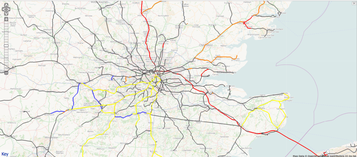
| 20:55, 18 March 2011 | UK speed limits.png (file) |  |
1.09 MB | UK Speed limit overlay from ITO Map. | 1 |
| 22:06, 3 March 2011 | ITO Map - Water.png (file) | 195 KB | ITO Map overlay showing water features. wide blue for rivers, thin light blue for streams, yellow for canals and brown for lakes. | 1 | |
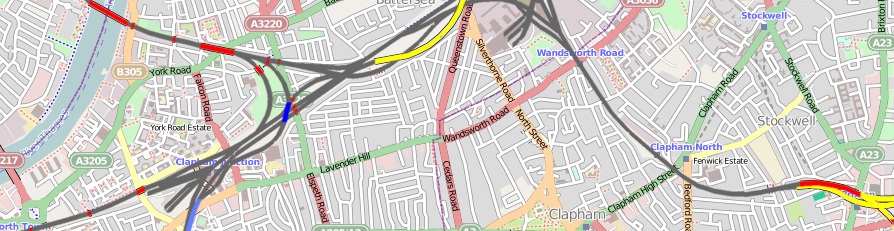
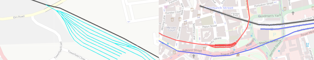
| 22:03, 3 March 2011 | ITO Map - Unknown roads.png (file) | 152 KB | ITO Map overlay showing unknown roads. | 1 | |
| 21:57, 3 March 2011 | ITO Map - Tracktype.png (file) | 196 KB | ITO Map overlay showing tracktype. black means no track type is specified. | 1 | |
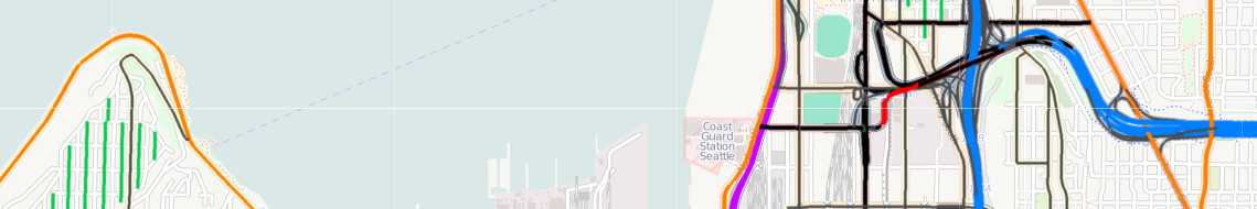
| 21:53, 3 March 2011 | ITO Map - Speed limts Roads MPH.png (file) | 164 KB | ITO Map overlay showing road speed limits in miles per hour in Seattle. | 1 | |
| 21:46, 3 March 2011 | Speed limits - Roads KPH.png (file) | 390 KB | ITO Map overlay showing speed limits for roads in km/h. | 1 | |
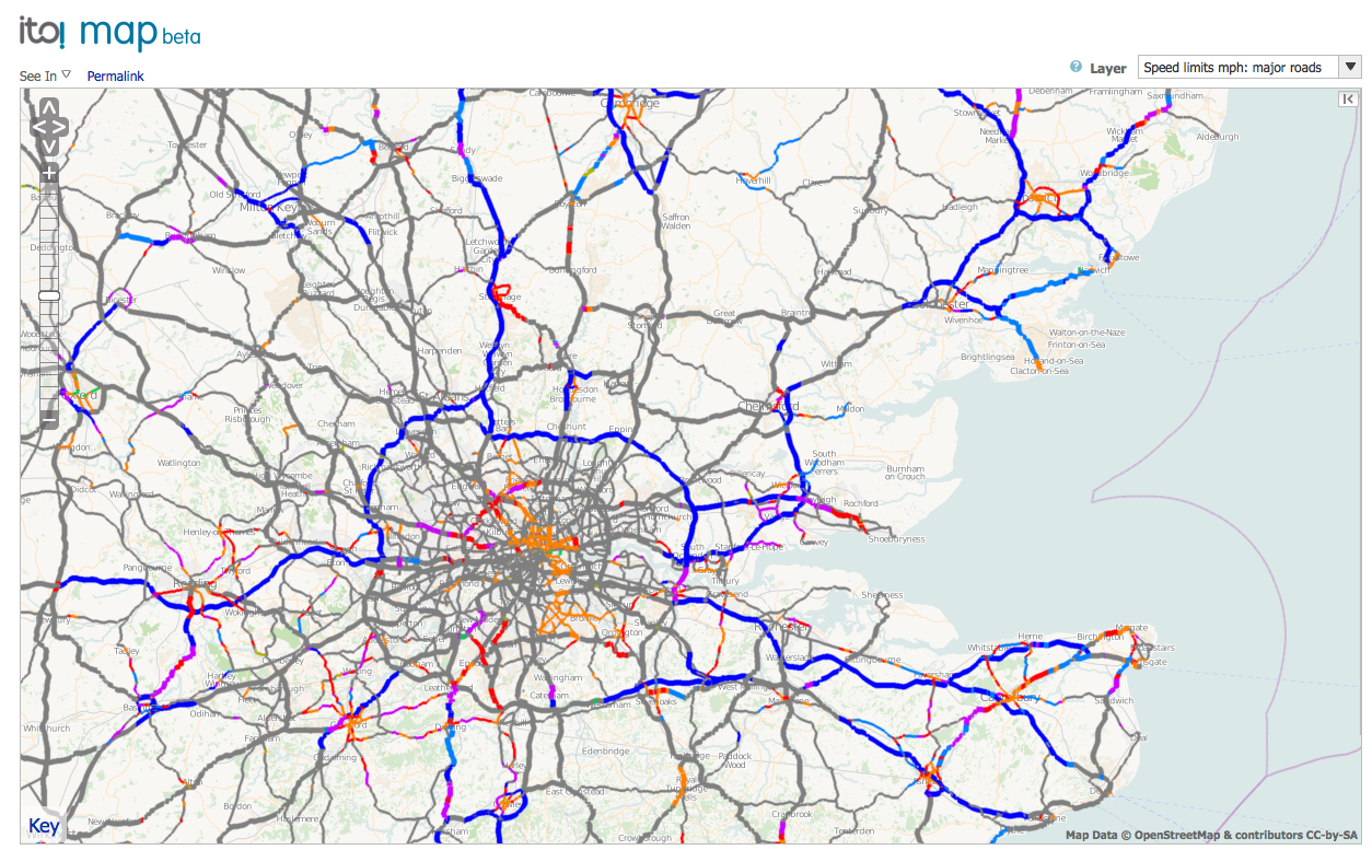
| 21:43, 3 March 2011 | ITO Map - Speed limits Major roads MPH.png (file) | 304 KB | ITO Map overlay showing the speed limits on major roads (motorway, trunk and primary) in mile per hour. | 1 | |
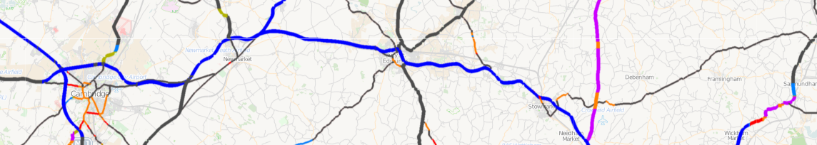
| 21:37, 3 March 2011 | ITO Map - Speed limits Major roads KPH.png (file) | 399 KB | ITO Map overlay showing the speed limits on major roads (motorway, trunk and primary) in km/h. | 1 | |
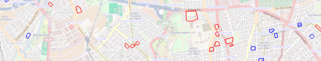
| 21:33, 3 March 2011 | ITO Map - Schools.png (file) | 398 KB | ITO Map overlay showing schools in Frankfurt, shown in blue if they are named and red if they are not named. | 1 | |
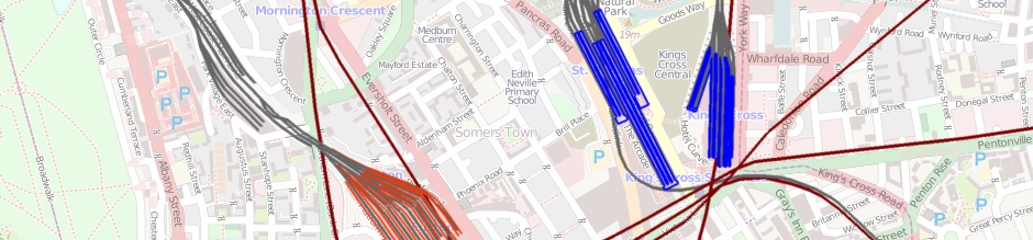
| 21:28, 3 March 2011 | ITO Map - Railways.png (file) | 202 KB | ITO Map overlay showing railway elements. sidings and spurs in light blue. Main lines as black, Metro in red, light rail in blue. | 1 | |
| 21:17, 3 March 2011 | ITO Map - Navigable waterways.png (file) | 271 KB | An ITO Map overlay showing navigable waterways. Waterways that have boat=no are in blue, if boat=yes then they are in red. Ones without either are shown in black. The coastline is green. Lakes are brown and reservoirs in purple. | 1 | |
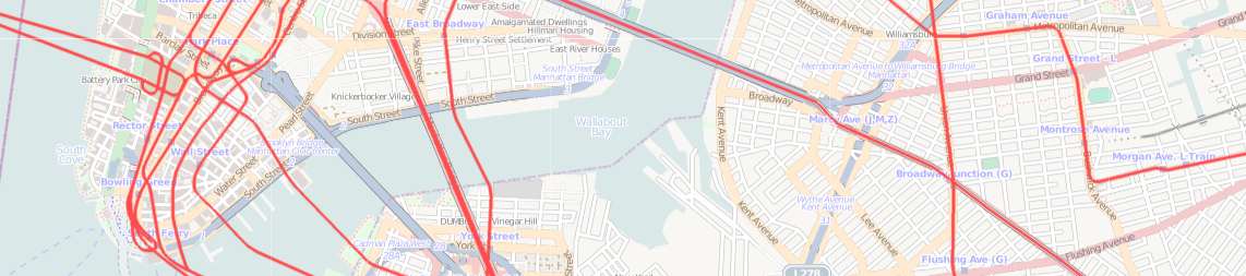
| 21:07, 3 March 2011 | ITO Map - Metro layer.png (file) | 392 KB | ITO Map Metro overlay showing the New York subway. | 1 | |
| 21:05, 3 March 2011 | ITO Map - Layers.png (file) | 219 KB | The ITO Map Layers view showing features tagged as red (level 1) and orange (levels 2/3/4) and as blue (level -1) and light blue (levels -1/-2/-3). Level 0 is shown as green. | 1 | |
| 20:59, 3 March 2011 | ITO Map - Former railways.png (file) | 183 KB | A view of the ITO Map 'Former railways' overlay. Heritage railways in green, disused in red, abandoned in blue and dismantled in light purple (not shown in this image) | 1 | |
| 20:55, 3 March 2011 | ITO Map - Fixme.png (file) | 267 KB | ITO Map Fixme overlay showing ways that have a 'fixme' tag. | 1 | |
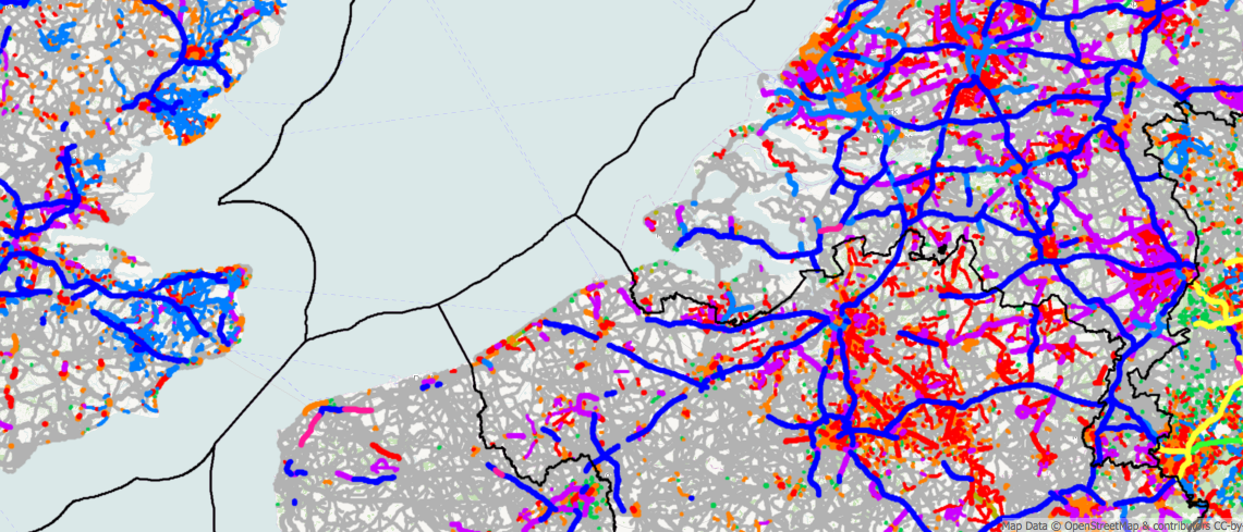
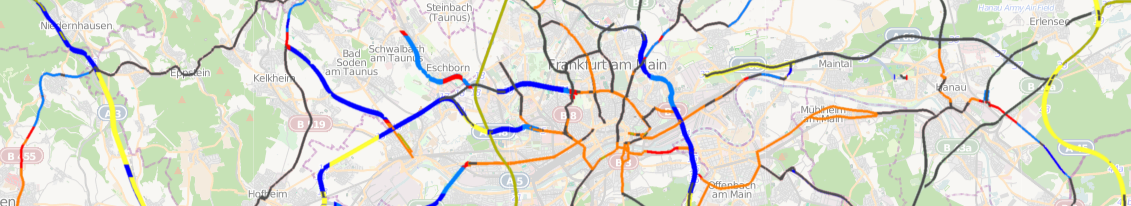
| 20:51, 3 March 2011 | ITO Map - Electricity distribution.png (file) | 212 KB | ITO Map Electricity distribution overlay showing 400KV lines (blue), 132KV lines (purple), substations (red) and minor-lines using a thin green stroke. | 1 | |
| 20:47, 3 March 2011 | ITO Map - Car parks.png (file) | 177 KB | A screengrab of the ITO Map Car park overlay showing two car parks in red neither of which specify a capacity. If they did then the outline would be blue. | 1 | |
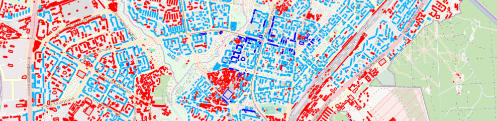
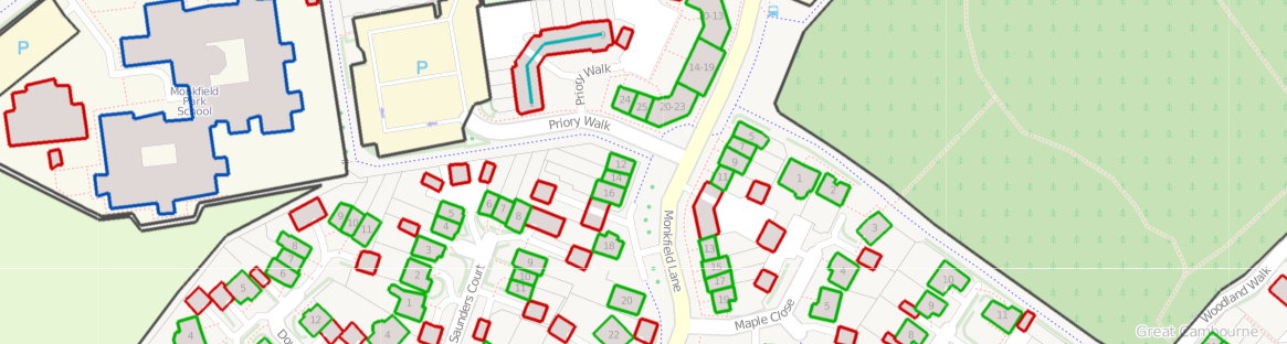
| 20:43, 3 March 2011 | Buildings and addresses.png (file) | 318 KB | An overlay from ITO Map showing buildings in blue if they are named, in green if they have a number of in red if they have neither. Address ranges (of which there is only one in this view) is shown in turquoise. | 1 | |
| 20:38, 3 March 2011 | ITO Map - Barriers.png (file) | 265 KB | Output from ITO Map showing the Barriers overlay highlighting fences, walls and hedges in different colours. | 1 | |
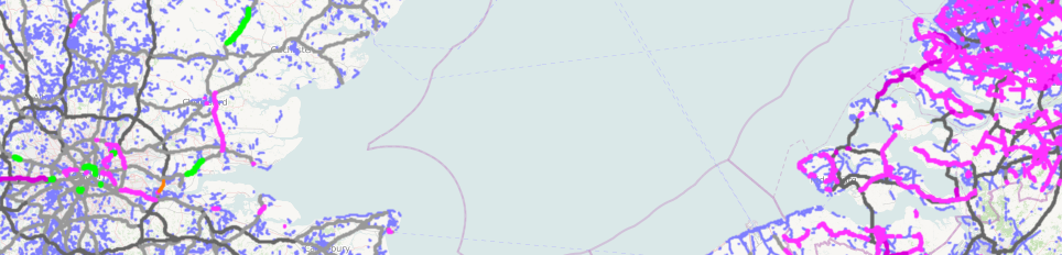
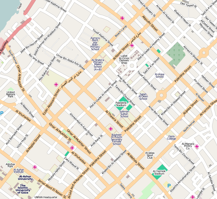
| 18:04, 1 December 2009 | Gaza.png (file) |  |
450 KB | A view of [http://www.openstreetmap.org/?lat=31.52242&lon=34.44983&zoom=15&layers=B000FTFT Gaza city] showing the progress made in the past year. | 1 |
| 11:28, 31 July 2009 | PeterIto.jpg (file) |  |
5 KB | Image of Peter Miller (PeterIto). | 1 |
| 23:03, 26 December 2008 | Frame 909 OSM 2008 A year of Edits.jpg (file) |  |
107 KB | Frame 909 from ITO World animation 'OSM 2008 - A Year of Edits'. To be released on 31st Dec 2008 | 1 |
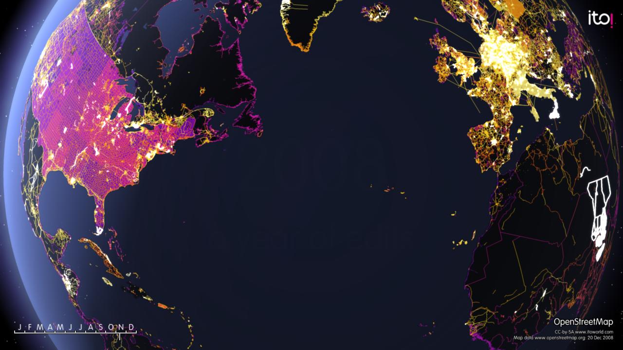
| 20:33, 7 December 2008 | Earth.png (file) |  |
1.72 MB | 1 |