Uploads by Pwhite119
Jump to navigation
Jump to search
This special page shows all uploaded files.
| Date | Name | Thumbnail | Size | Description | Versions |
|---|---|---|---|---|---|
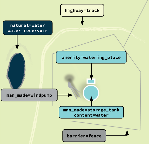
| 18:12, 1 December 2020 | North American ranching features.png (file) |  |
71 KB | Cropped and retained labels | 3 |
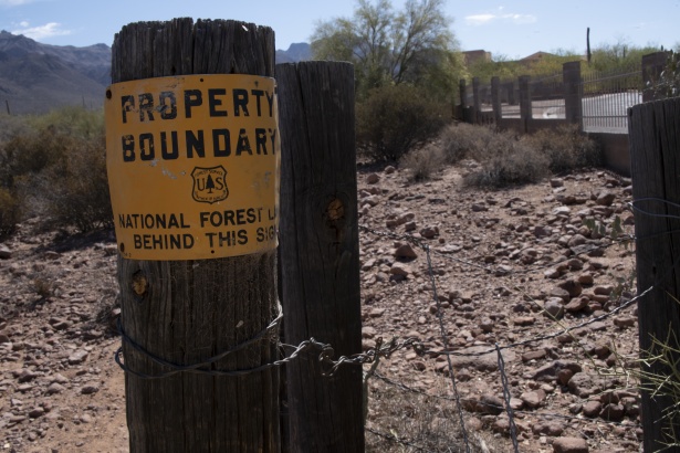
| 19:27, 22 November 2020 | National Forest boundary sign.jpg (file) |  |
120 KB | This is an image of a boundary sign at the edge of a National Forest, signifying the owership boundary. Released into the public domain by the author Circe Denyer. (https://www.publicdomainpictures.net/en/view-image.php?image=252462&picture=forestry-boundary-fence-sign) | 1 |
| 19:36, 5 November 2020 | NWI Map.png (file) |  |
2.81 MB | Example of part of the National Wetlands Inventory in Red Lake State Forest, Minnesota. | 1 |
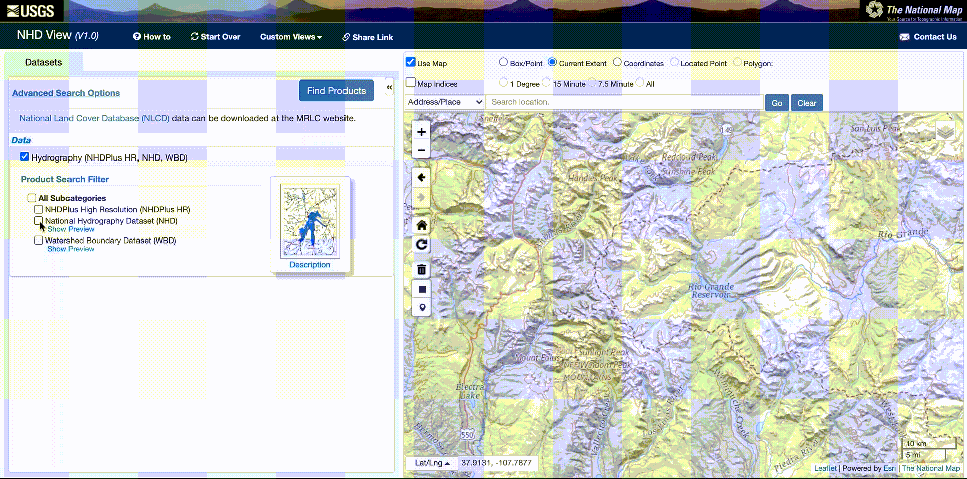
| 02:10, 3 August 2020 | National Hydrography Dataset download process.webm (file) | 2.44 MB | This video shows the process for downloading data from the National Hydrography Dataset for importing into OSM. | 1 | |
| 01:44, 3 August 2020 | NHD download process.gif (file) |  |
26.4 MB | speed up | 2 |
| 21:09, 20 July 2020 | USGS ranger station.png (file) |  |
9 KB | USGS topo features | 1 |
| 21:08, 20 July 2020 | USGS ruins.png (file) |  |
28 KB | USGS topo features | 1 |
| 21:08, 20 July 2020 | USGS light.png (file) |  |
23 KB | USGS topo features | 1 |
| 21:07, 20 July 2020 | USGS pumping station.png (file) |  |
49 KB | USGS topo features | 1 |
| 21:07, 20 July 2020 | USGS ranch.png (file) | 56 KB | USGS topo features | 1 | |
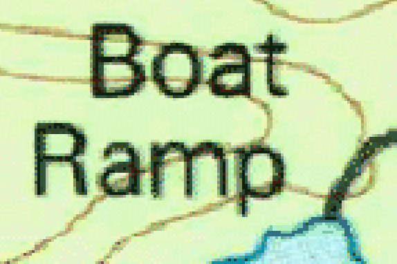
| 21:06, 20 July 2020 | USGS boat ramp.png (file) |  |
51 KB | USGS topo features | 1 |
| 21:06, 20 July 2020 | USGS wreck.png (file) |  |
14 KB | USGS topo features | 1 |
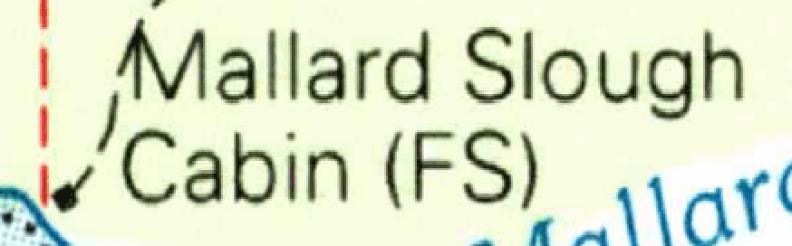
| 21:05, 20 July 2020 | USGS Cabin-Wilderness hut.png (file) |  |
98 KB | USGS topo features | 1 |
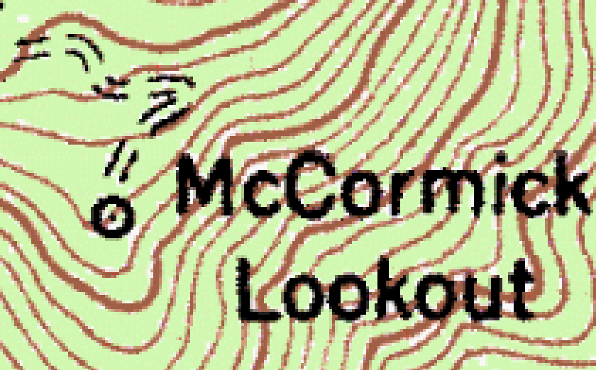
| 21:05, 20 July 2020 | USGS Lookout-Viewpoint.png (file) |  |
92 KB | USGS topo features | 1 |
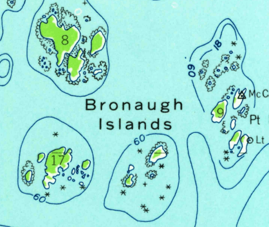
| 21:04, 20 July 2020 | USGS archipelago.png (file) |  |
490 KB | USGS topo features | 1 |
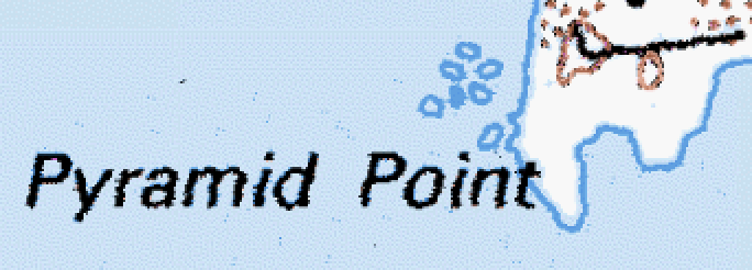
| 21:04, 20 July 2020 | USGS Point-Cape.png (file) |  |
74 KB | USGS topo features | 1 |
| 21:03, 20 July 2020 | USGS Water Tank.png (file) |  |
20 KB | USGS topo features | 1 |
| 16:58, 16 June 2020 | National Forest Secondary Vertical FSTopo.png (file) |  |
17 KB | How Forest Service topographic maps display National Forest secondary routes with a vertical route marker. | 1 |
| 16:57, 16 June 2020 | National Forest Secondary Horizontal FSTopo.png (file) |  |
12 KB | How Forest Service topographic maps display National Forest secondary routes with a horizontal route marker. | 1 |
| 16:53, 16 June 2020 | National Forest Distinctive Marker FSTopo.png (file) |  |
11 KB | Updated to show only the icon | 2 |
| 21:23, 19 May 2020 | Piers on USGS Topo Map.png (file) |  |
40 KB | Piers on a USGS Topographic Map, can be tagged as man_made=pier. US government work | 1 |
| 13:57, 15 May 2020 | US Forest Service Horizontal Marker.png (file) |  |
62 KB | 2 | |
| 13:49, 15 May 2020 | US Forest Service Vertical Marker.png (file) |  |
14 KB | Vertical markers used on minor Forest Roads in the U.S. National Forest Service. | 1 |
| 15:29, 6 May 2020 | Map of the National Park System.jpeg (file) |  |
1.11 MB | This map shows the National Park System, including all areas that the NPS administers. It is public domain as it is a product of a US federal government agency. | 1 |