Uploads by Shenriod
Jump to navigation
Jump to search
This special page shows all uploaded files.
| Date | Name | Thumbnail | Size | Description | Versions |
|---|---|---|---|---|---|
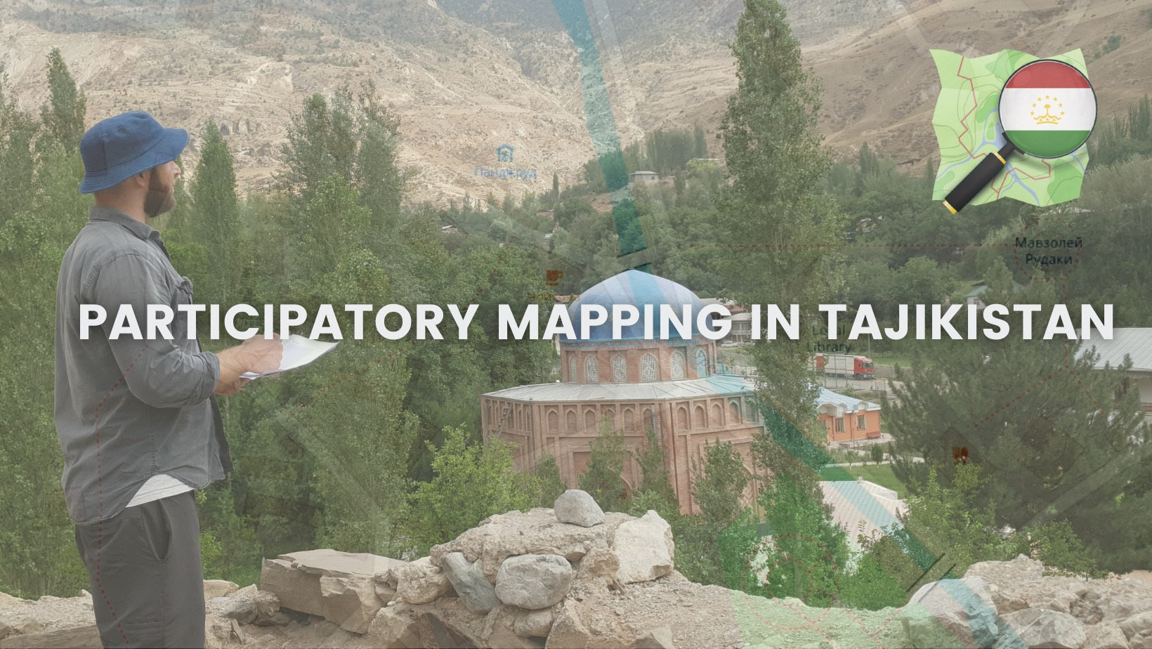
| 08:55, 9 August 2021 | Project participatory mapping in Tajikistan.png (file) |  |
2.42 MB | 1 | |
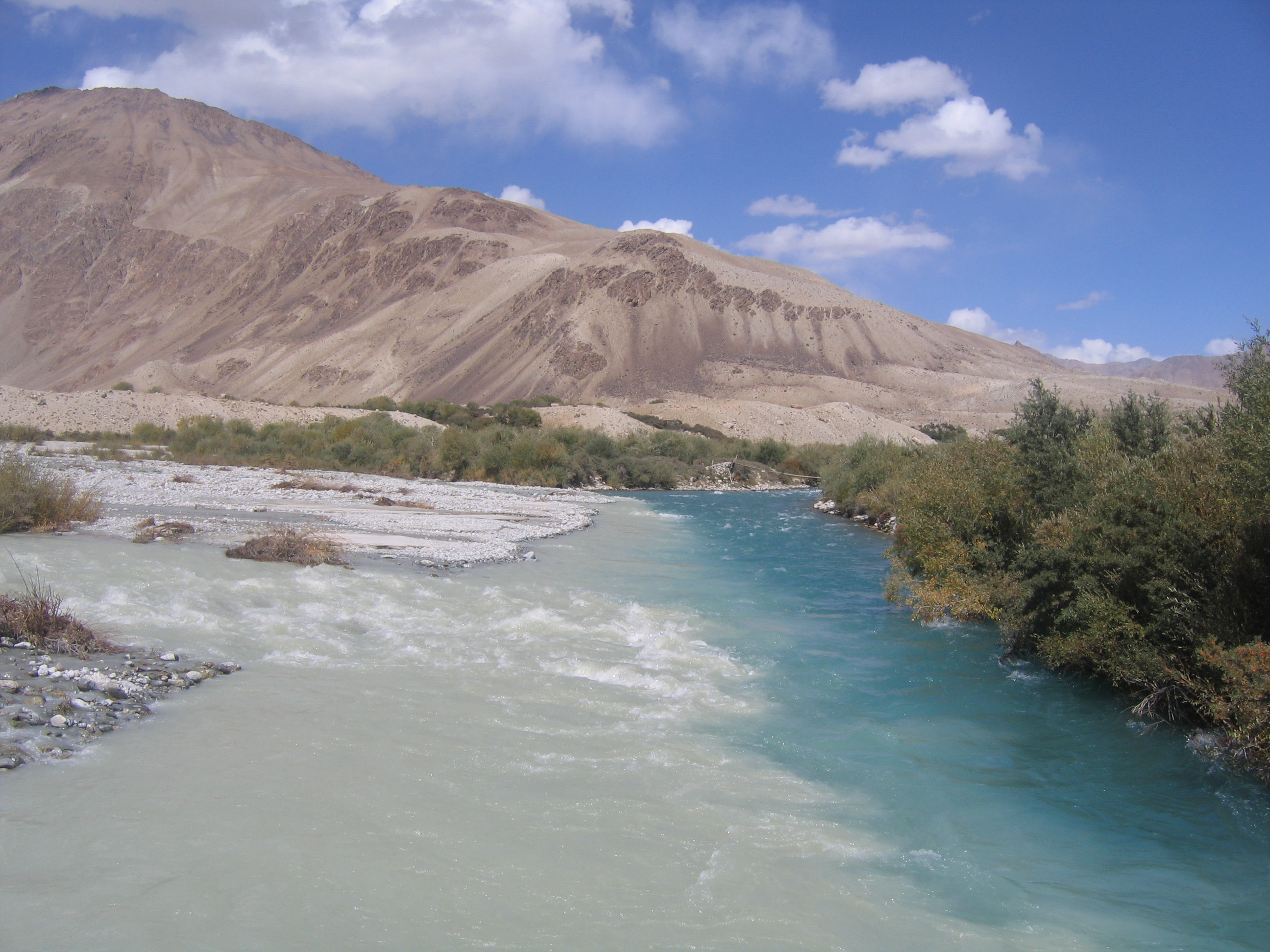
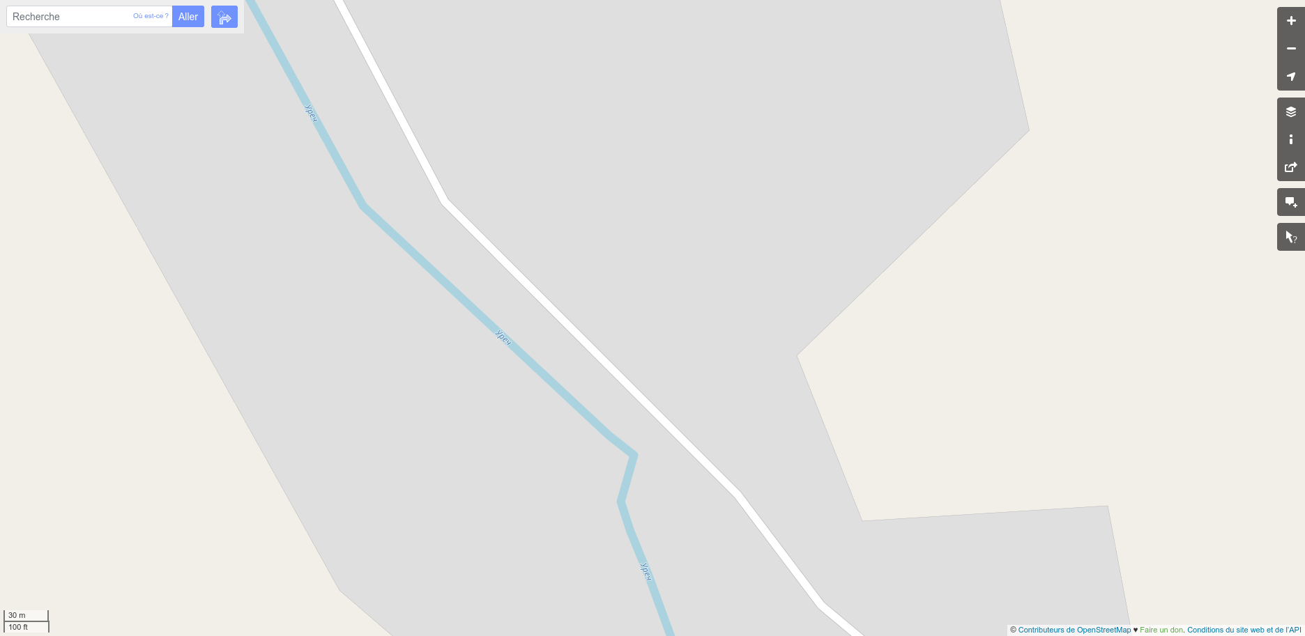
| 12:04, 23 June 2021 | Rivers joining in Batchor, Tajikistan.jpeg (file) |  |
2.06 MB | 1 | |
| 12:03, 23 June 2021 | Statue of Rudaki in Dushanbe, Tajikistan.jpeg (file) |  |
1.13 MB | 1 | |
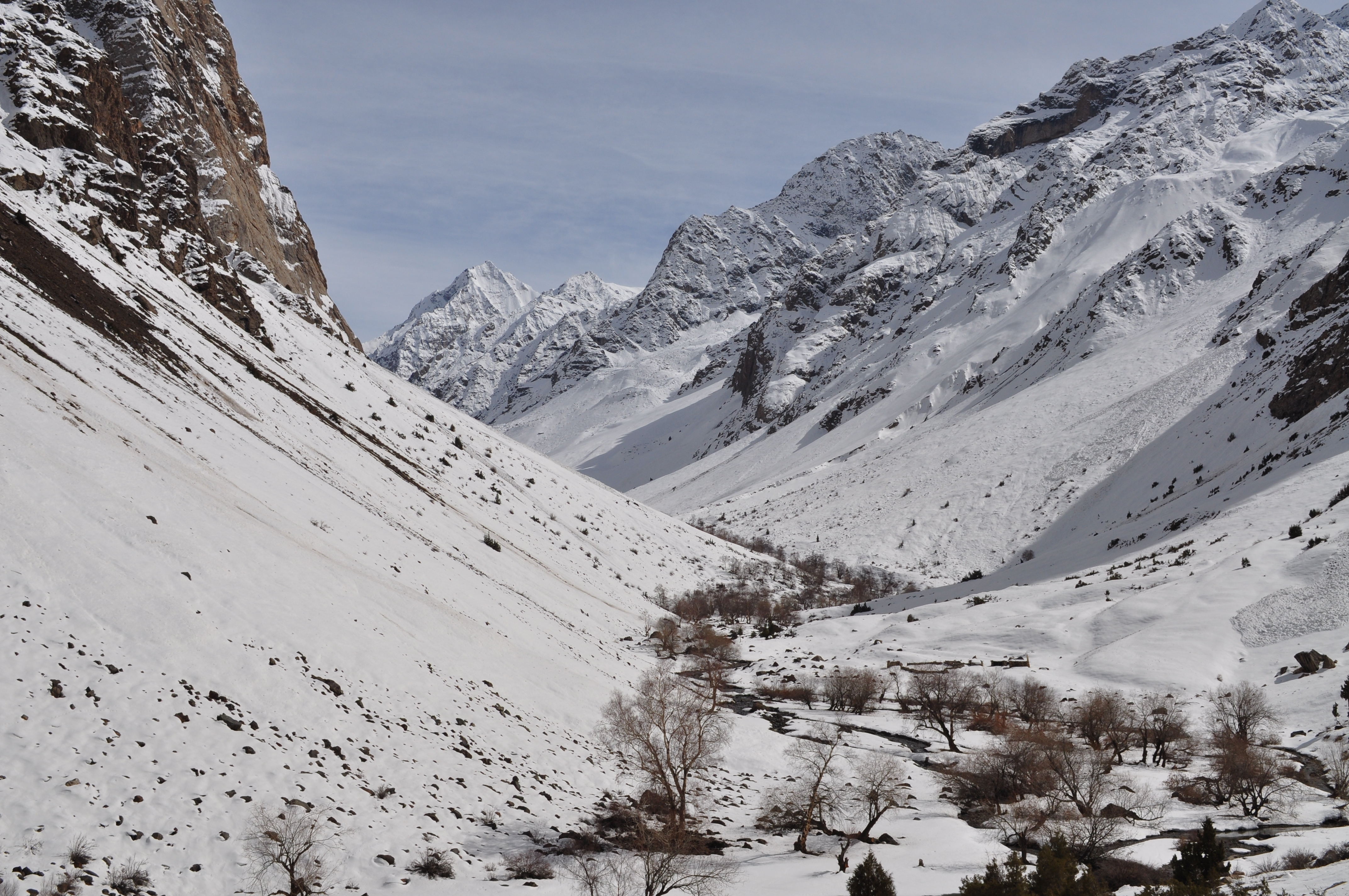
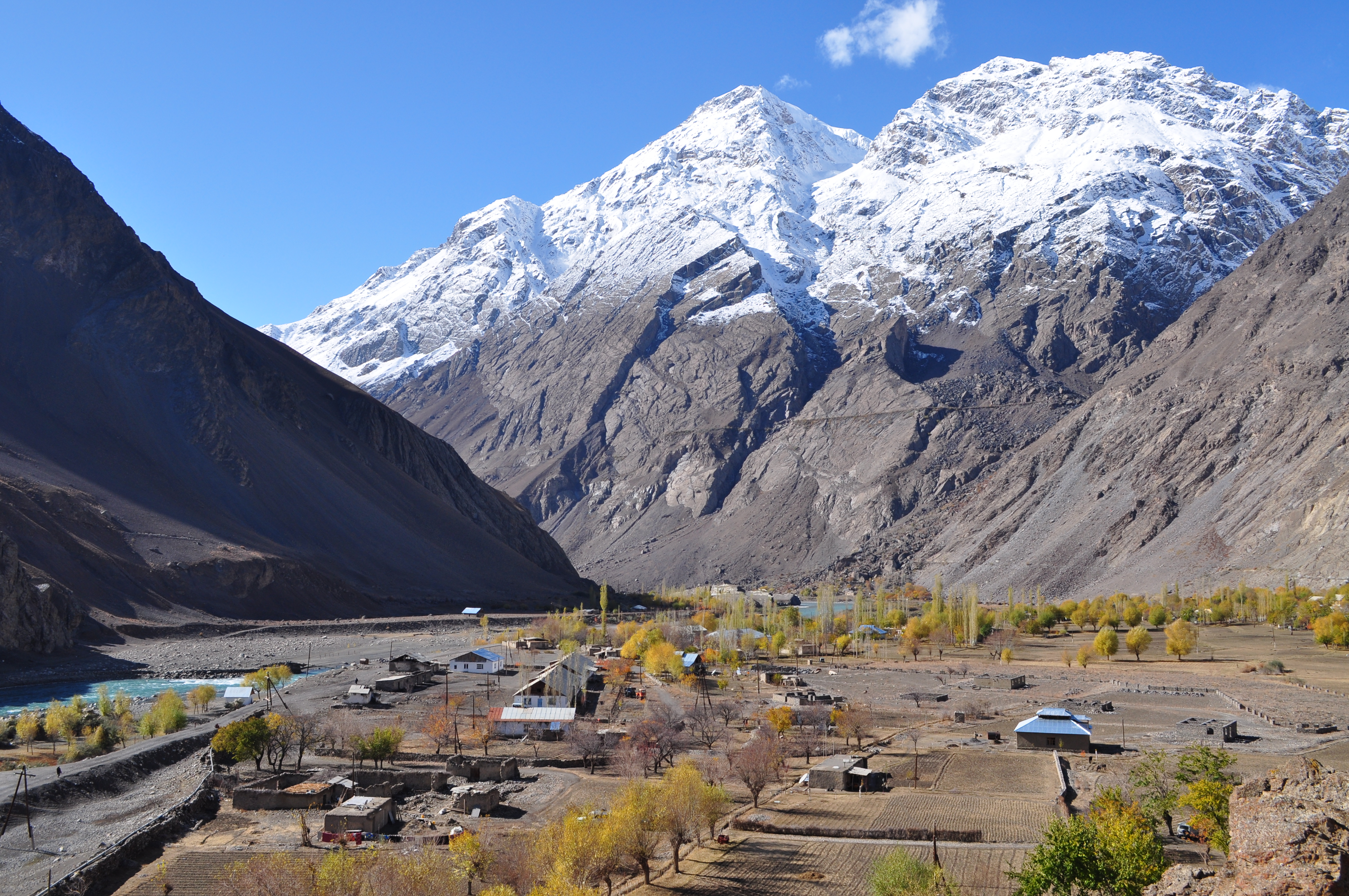
| 12:02, 23 June 2021 | Winter landscape in Ravmeddara, Tajikistan.jpeg (file) |  |
6.3 MB | 1 | |
| 12:02, 23 June 2021 | Low tide in Souther Khatlon, Tajikistan.jpeg (file) |  |
6.36 MB | 1 | |
| 12:01, 23 June 2021 | Green landscape in Southern Khatlon.jpeg (file) |  |
6.31 MB | 1 | |
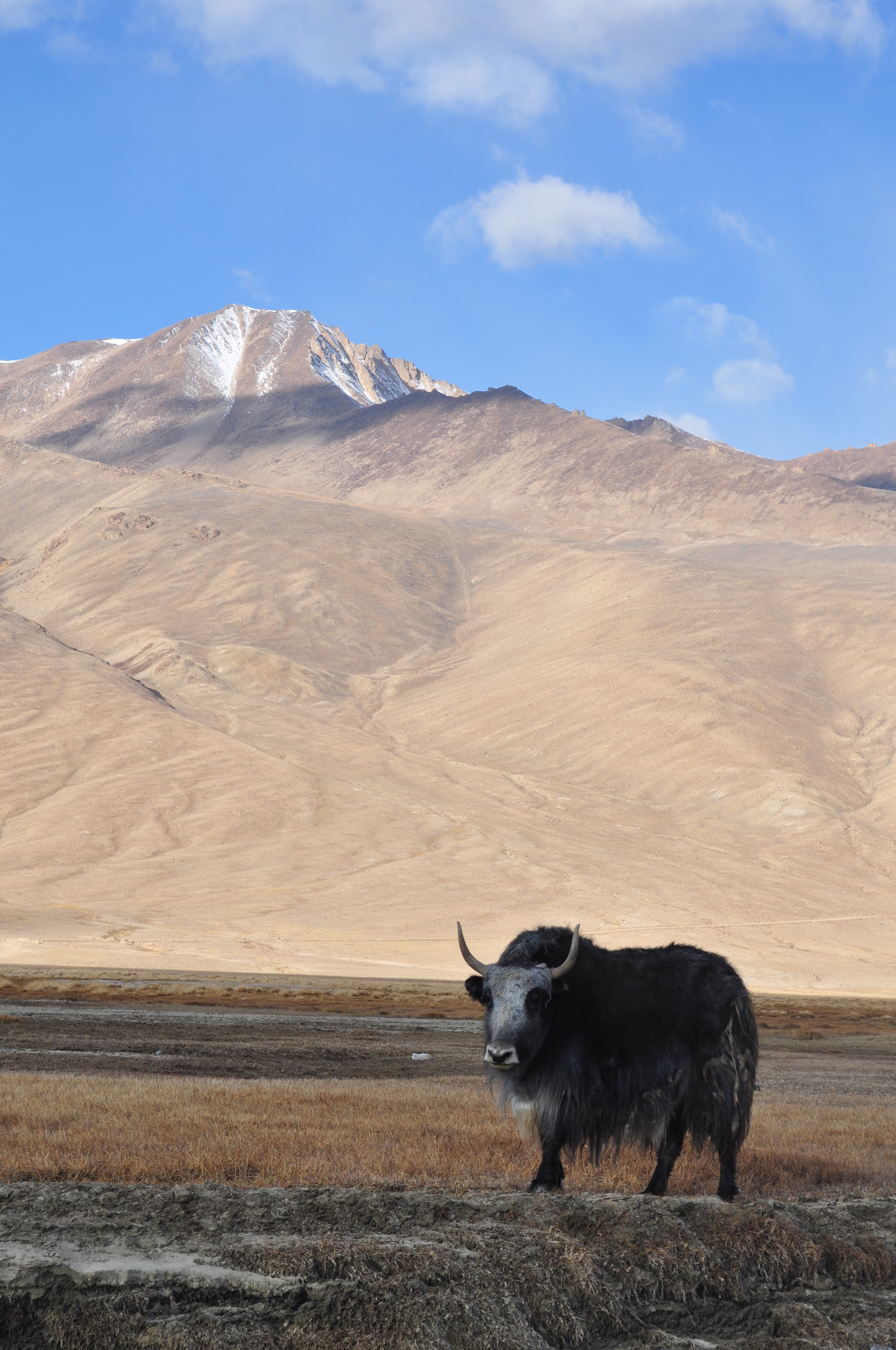
| 12:00, 23 June 2021 | Yak in Bulunkul, Tajik Pamirs.jpeg (file) |  |
5.51 MB | 1 | |
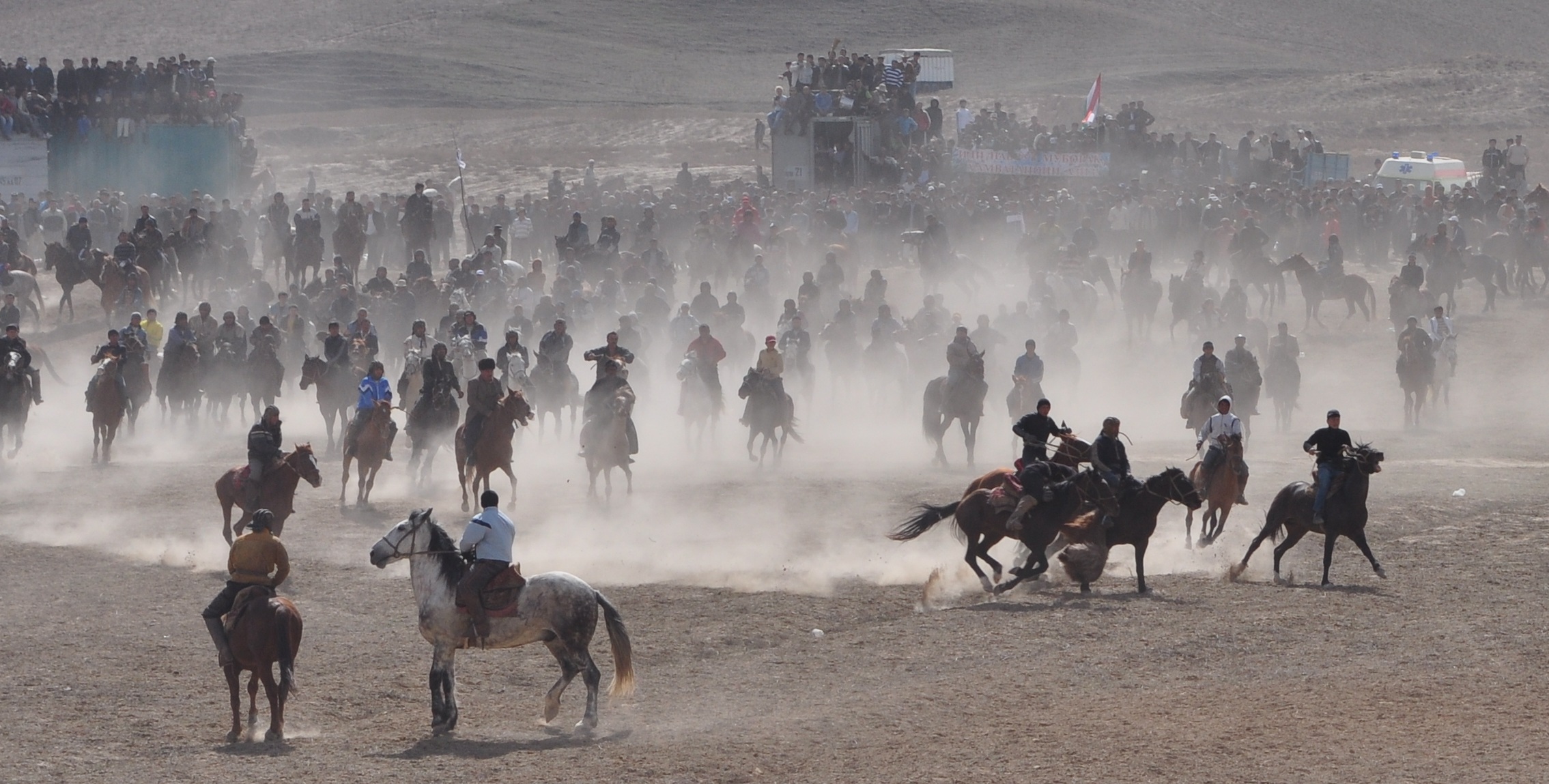
| 11:59, 23 June 2021 | Buzkashi in Hissor, Tajikistan.jpeg (file) |  |
670 KB | 1 | |
| 11:58, 23 June 2021 | Mountaineous landscape in the Tajik Pamirs.jpeg (file) |  |
6.36 MB | 1 | |
| 11:09, 23 June 2021 | OSM Tajikistan.png (file) |  |
63 KB | 1 | |
| 14:22, 10 June 2021 | LohurSouth after base mapping.png (file) |  |
451 KB | 1 | |
| 14:20, 10 June 2021 | LohurSouth before.png (file) |  |
124 KB | 1 | |
| 14:19, 10 June 2021 | LohurNorth after base mapping.png (file) |  |
542 KB | 1 | |
| 14:17, 10 June 2021 | LohurNorth before.png (file) |  |
137 KB | 1 | |
| 14:15, 10 June 2021 | Yakkakhona after base mapping.png (file) |  |
336 KB | 1 | |
| 14:14, 10 June 2021 | Yakkakhona before.png (file) |  |
97 KB | 1 | |
| 14:09, 10 June 2021 | Madovra after base mapping.png (file) |  |
372 KB | 1 | |
| 14:07, 10 June 2021 | Madovra before.png (file) |  |
108 KB | 1 | |
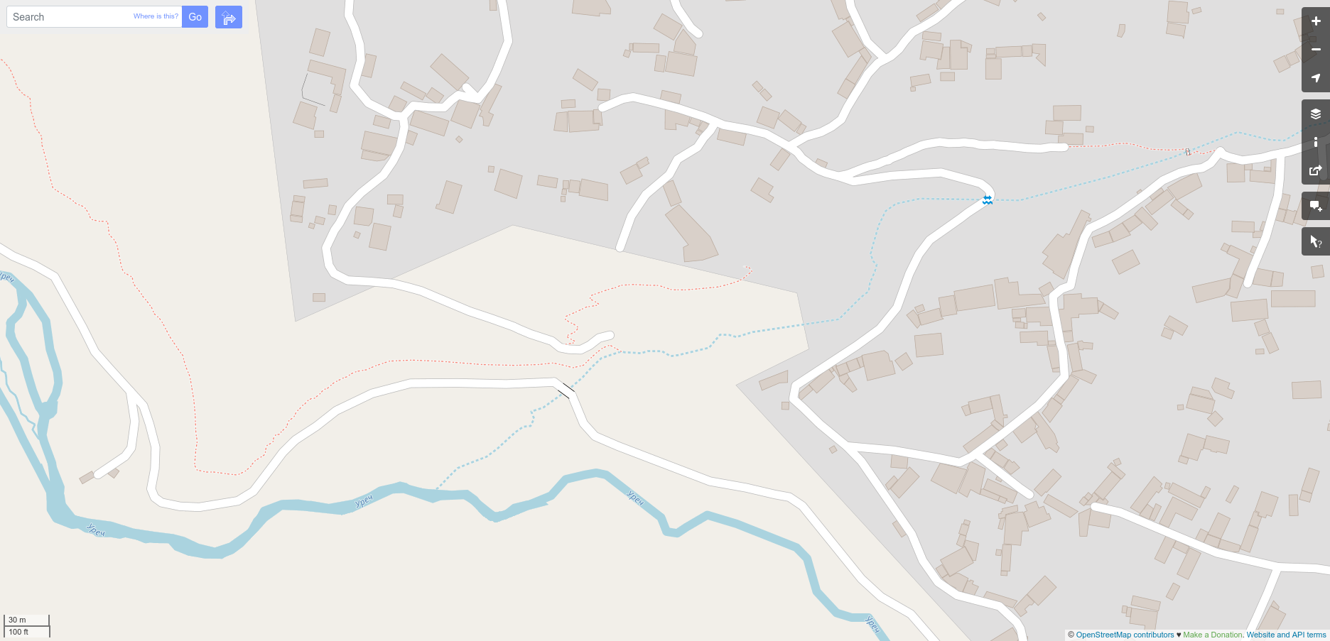
| 13:54, 10 June 2021 | Khirmanjo after base mapping.png (file) |  |
291 KB | 1 | |
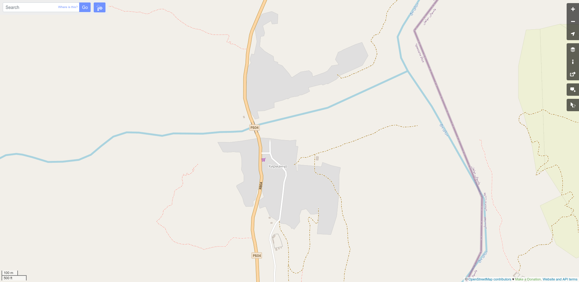
| 13:54, 10 June 2021 | Khirmanjo before.png (file) |  |
213 KB | 1 | |
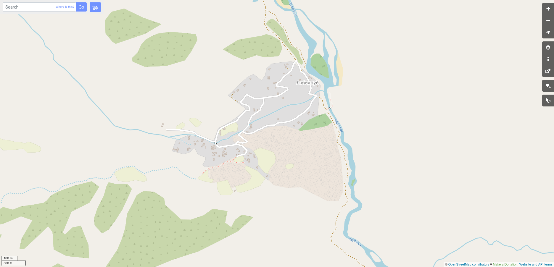
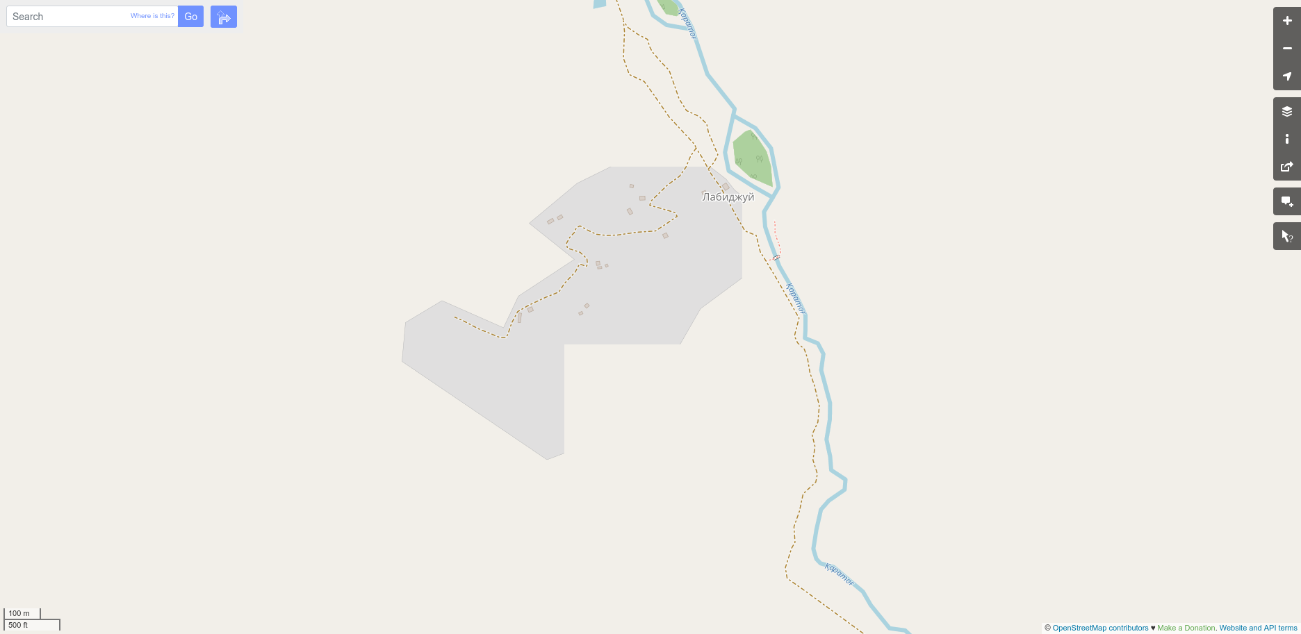
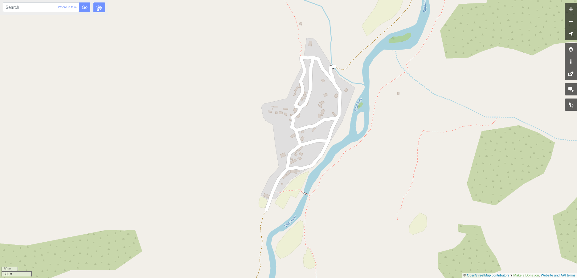
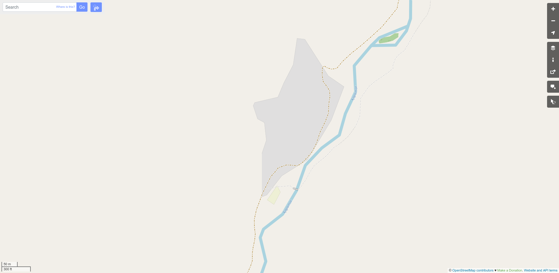
| 13:51, 10 June 2021 | Labidjui after base mapping.png (file) |  |
284 KB | 1 | |
| 13:51, 10 June 2021 | Labidjui before.png (file) |  |
112 KB | 1 | |
| 13:49, 10 June 2021 | Hakimi after base mapping.png (file) |  |
194 KB | 1 | |
| 13:48, 10 June 2021 | Hakimi before.png (file) |  |
101 KB | 1 | |
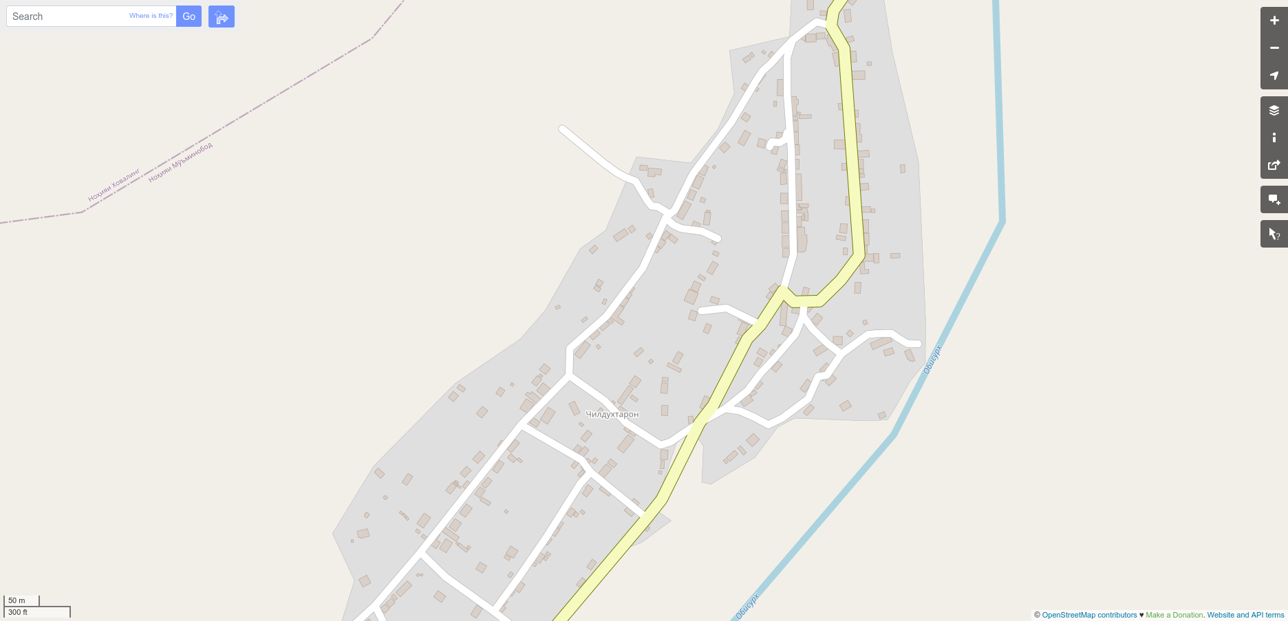
| 13:47, 10 June 2021 | Chil-Dukhtaron after base mapping.png (file) |  |
231 KB | 1 | |
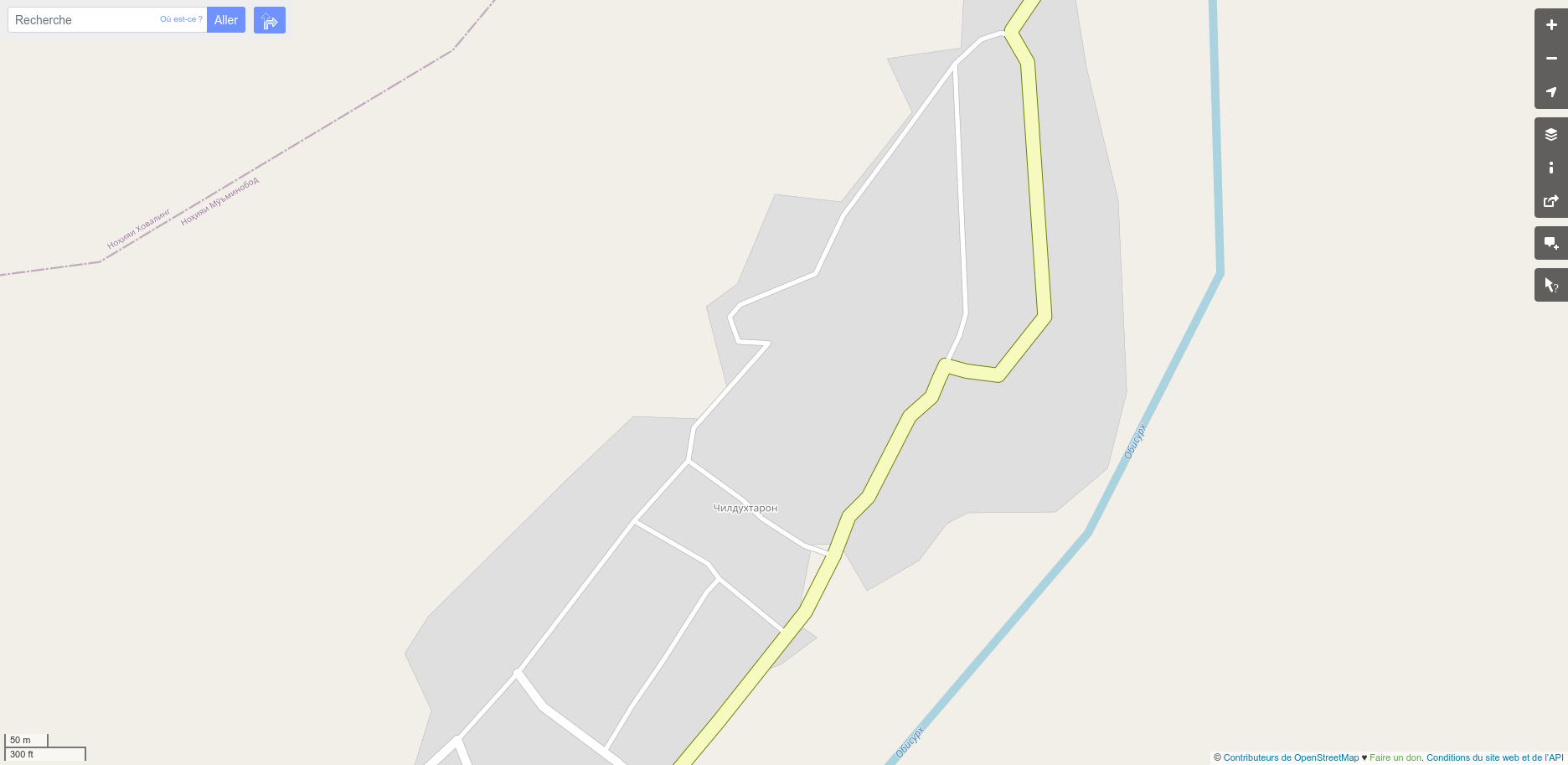
| 13:46, 10 June 2021 | Chil-Dukhtaron before.png (file) |  |
152 KB | 1 | |
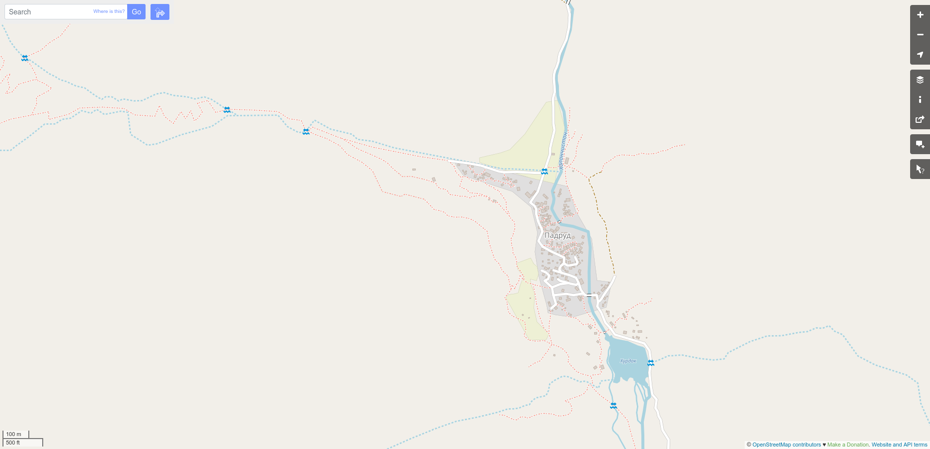
| 13:44, 10 June 2021 | Padrud after base mapping.png (file) |  |
218 KB | 1 | |
| 13:43, 10 June 2021 | Padrud before.png (file) |  |
127 KB | 1 | |
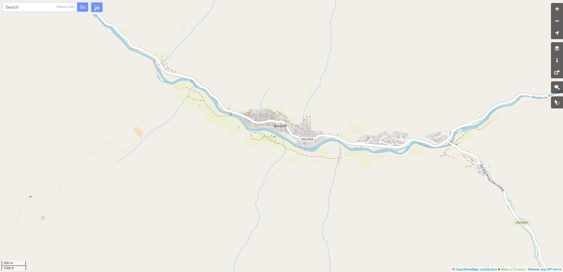
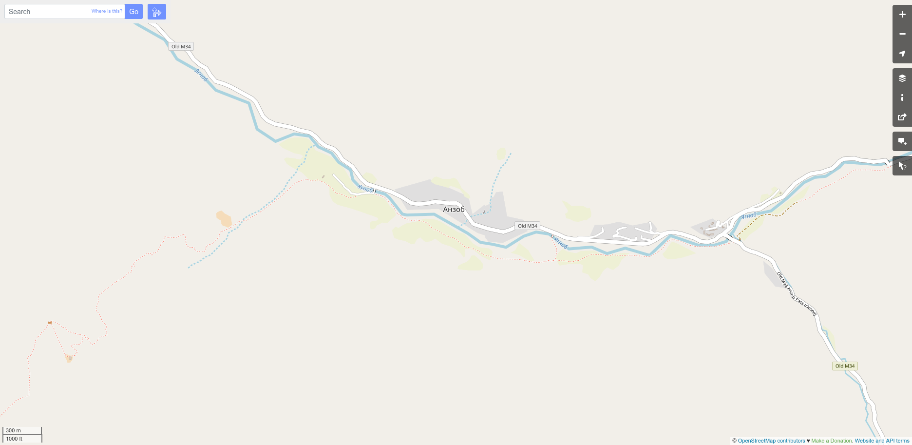
| 13:42, 10 June 2021 | Anzob after base mapping.png (file) |  |
239 KB | 1 | |
| 13:41, 10 June 2021 | Anzob before.png (file) |  |
167 KB | 1 | |
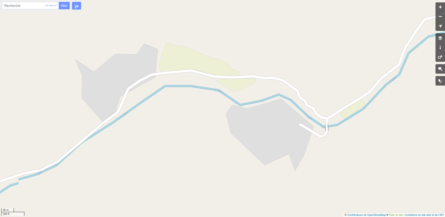
| 11:57, 10 June 2021 | Tavish-i-bolo after base mapping.png (file) |  |
174 KB | 1 | |
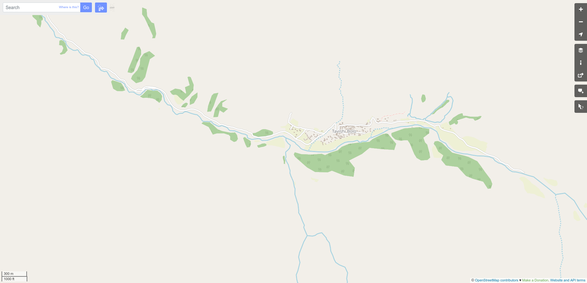
| 11:56, 10 June 2021 | Tavish after base mapping.png (file) |  |
301 KB | 1 | |
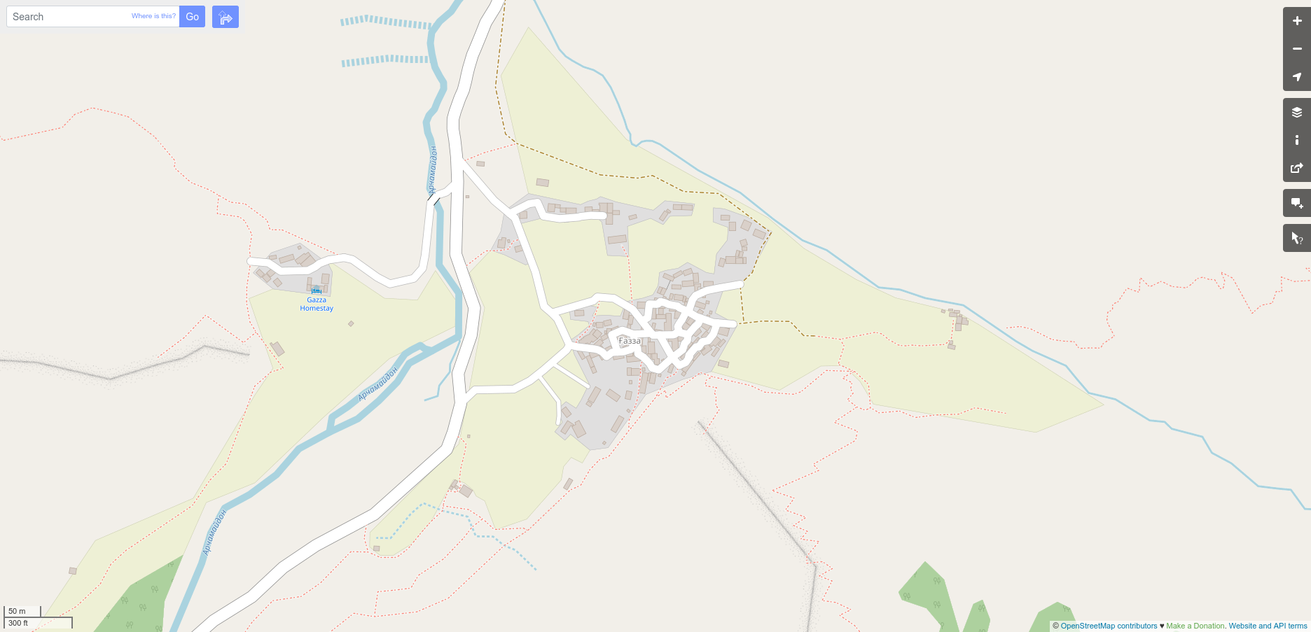
| 11:55, 10 June 2021 | Ghazza after base mapping.png (file) |  |
340 KB | 1 | |
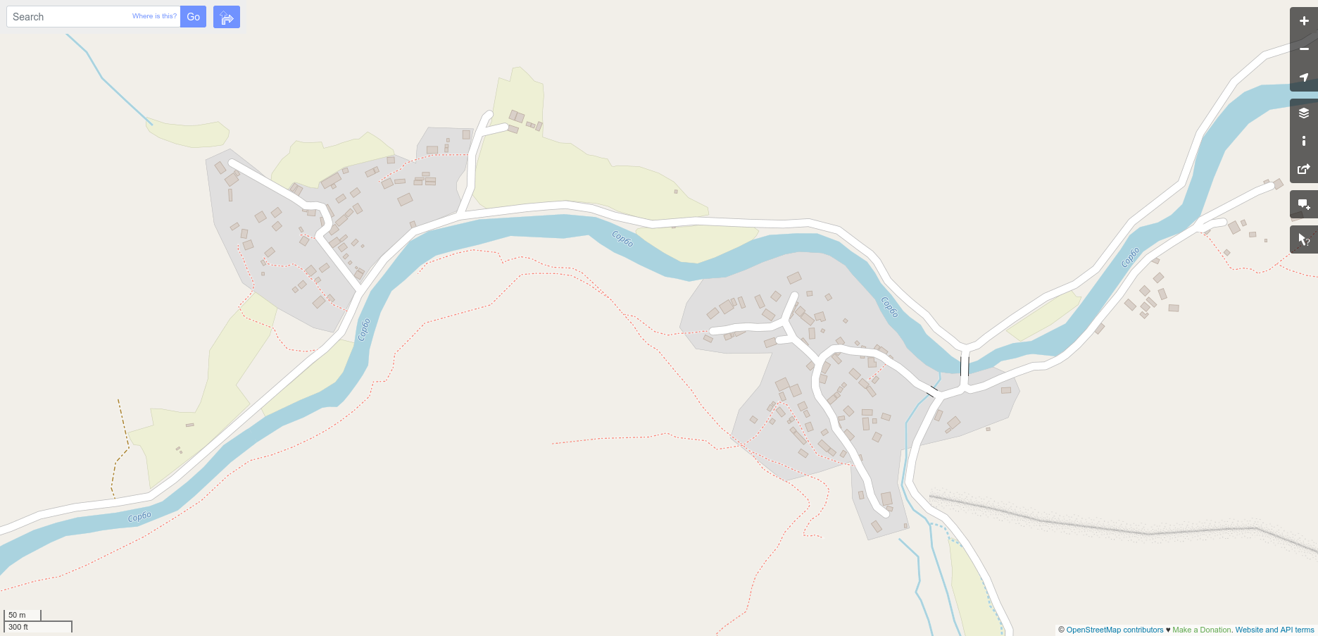
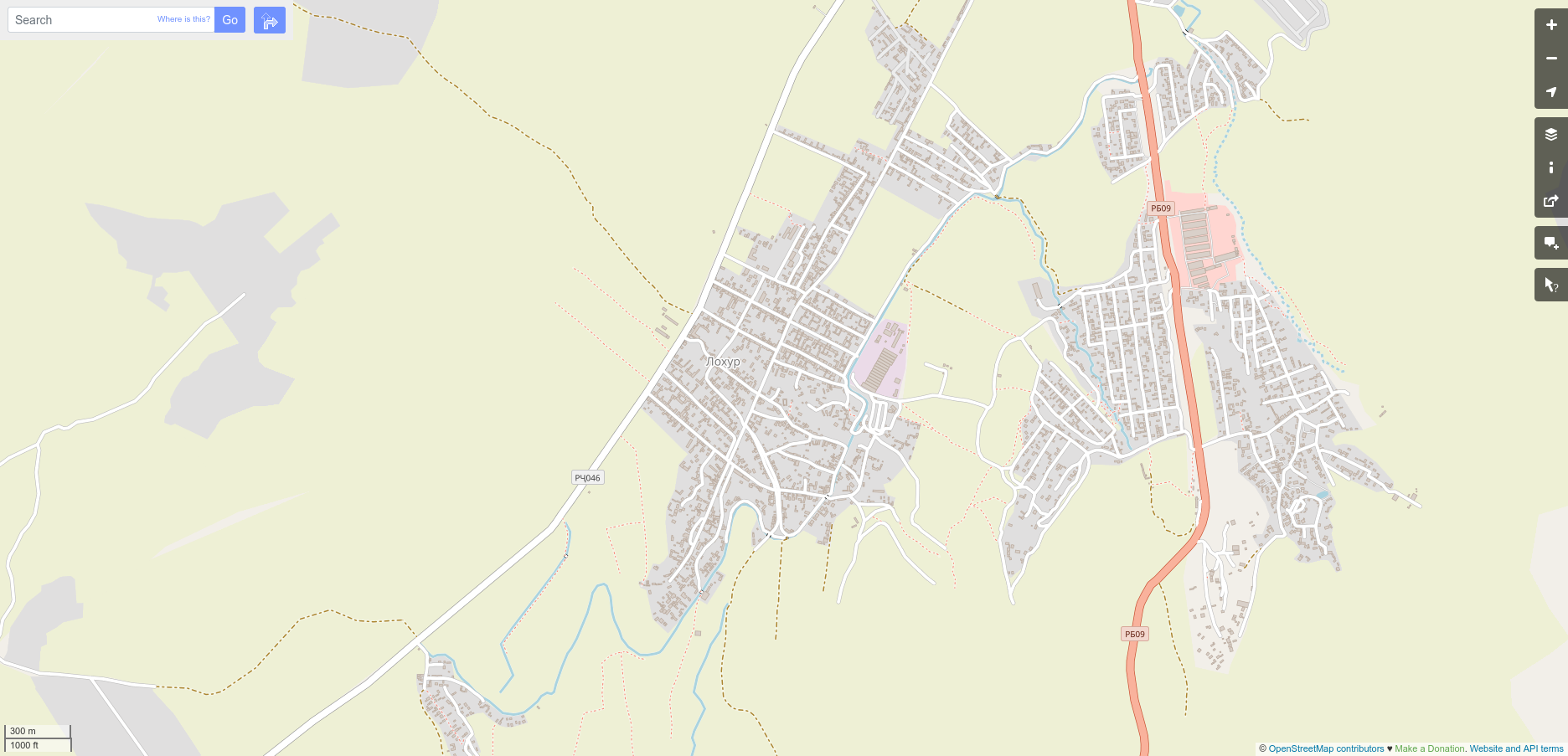
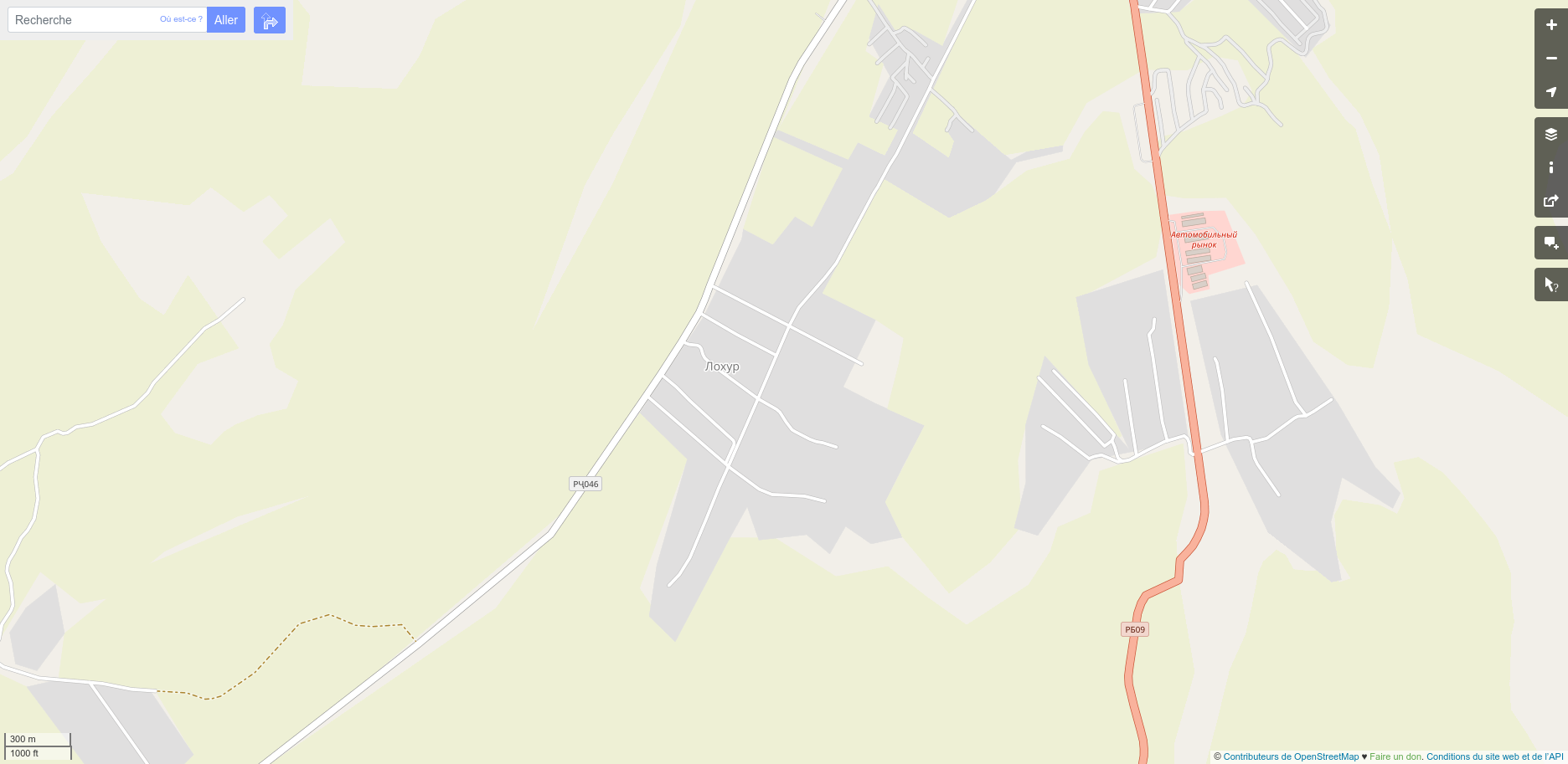
| 11:54, 10 June 2021 | Lohur after base mapping.png (file) |  |
638 KB | 1 | |
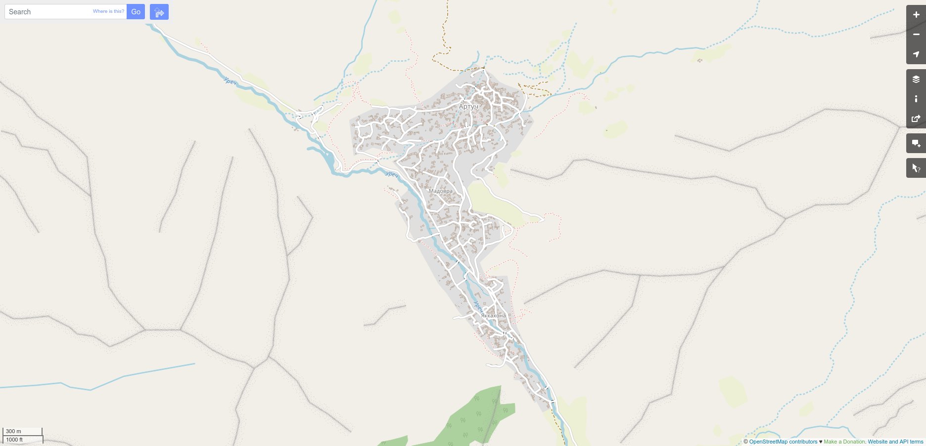
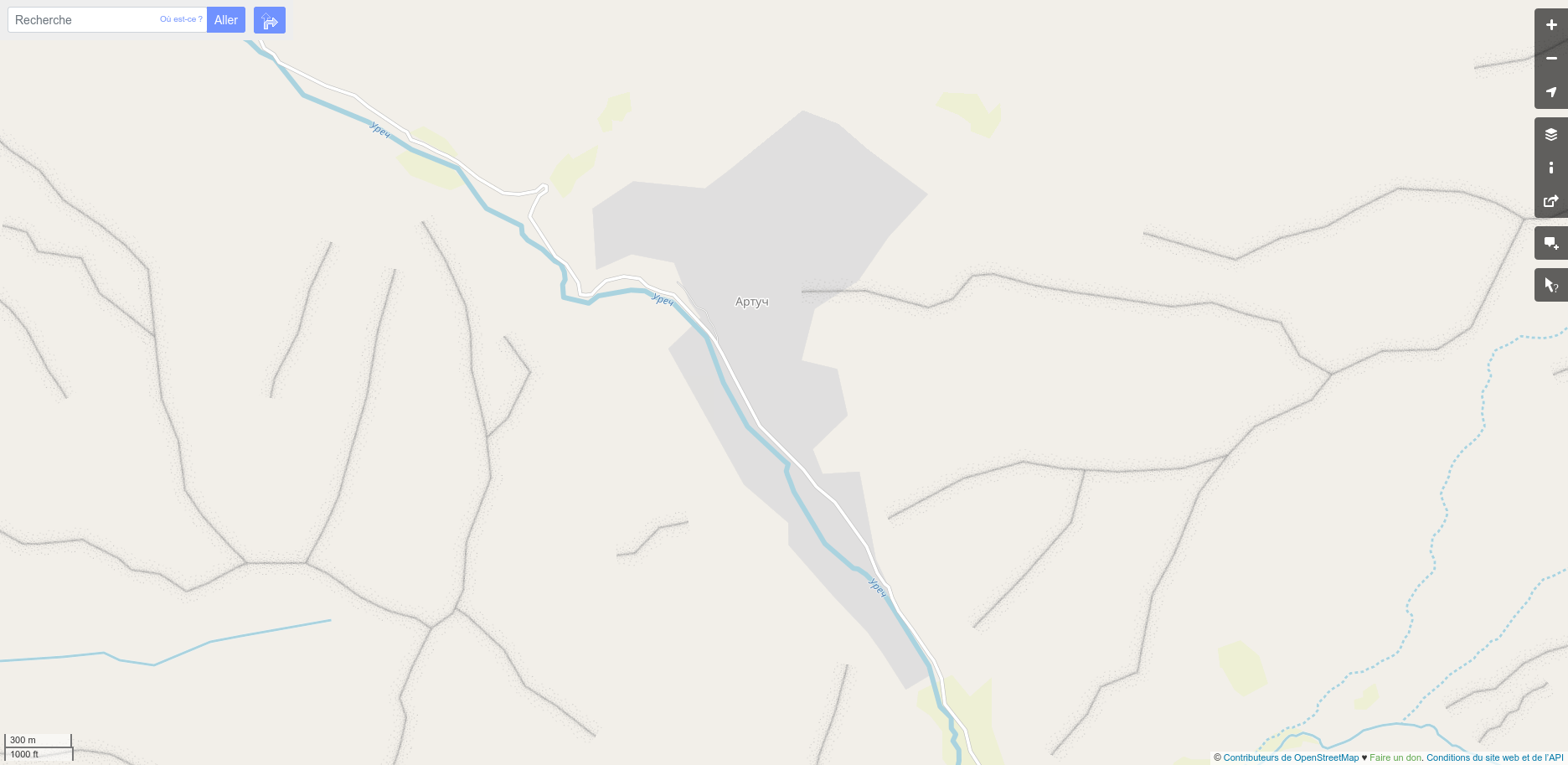
| 11:53, 10 June 2021 | Artuch after base mapping.png (file) |  |
601 KB | 1 | |
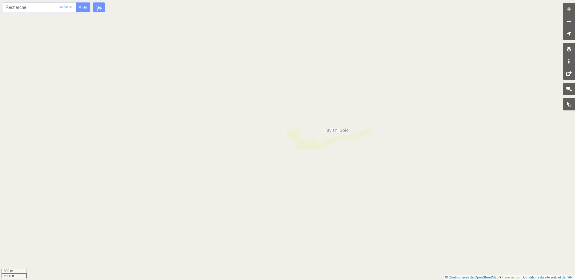
| 11:49, 10 June 2021 | Tavish-i-bolo before.png (file) |  |
49 KB | 1 | |
| 11:47, 10 June 2021 | Tavish before.png (file) |  |
133 KB | 1 | |
| 11:46, 10 June 2021 | Ghazza before.png (file) |  |
224 KB | 1 | |
| 11:45, 10 June 2021 | Lohur before.png (file) |  |
234 KB | 1 | |
| 11:43, 10 June 2021 | Artuch before.png (file) |  |
393 KB | 1 | |
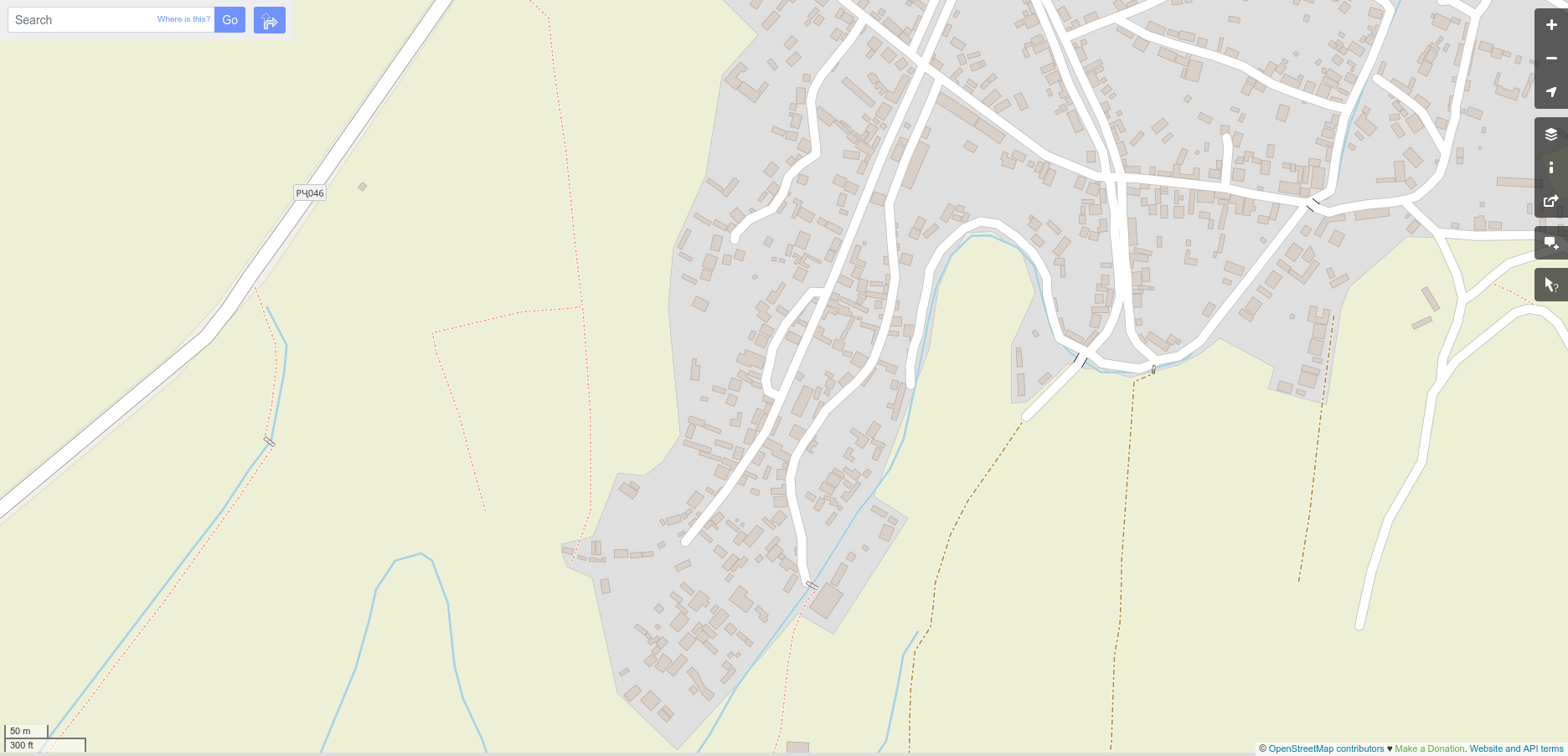
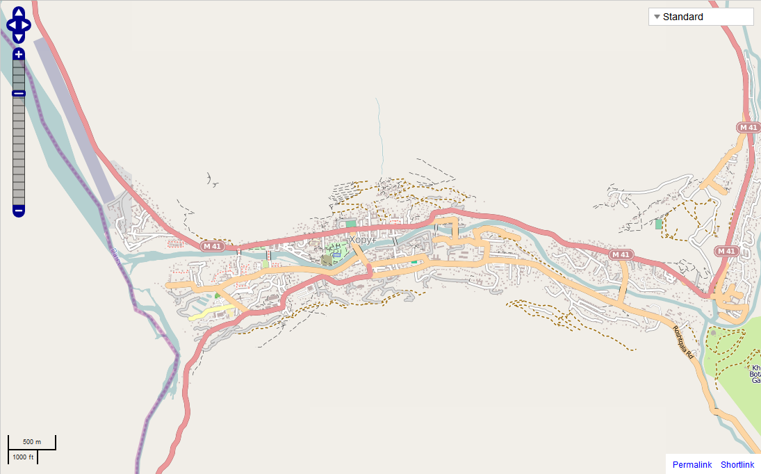
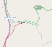
| 16:36, 2 August 2012 | Khorog after.png (file) |  |
238 KB | 4 | |
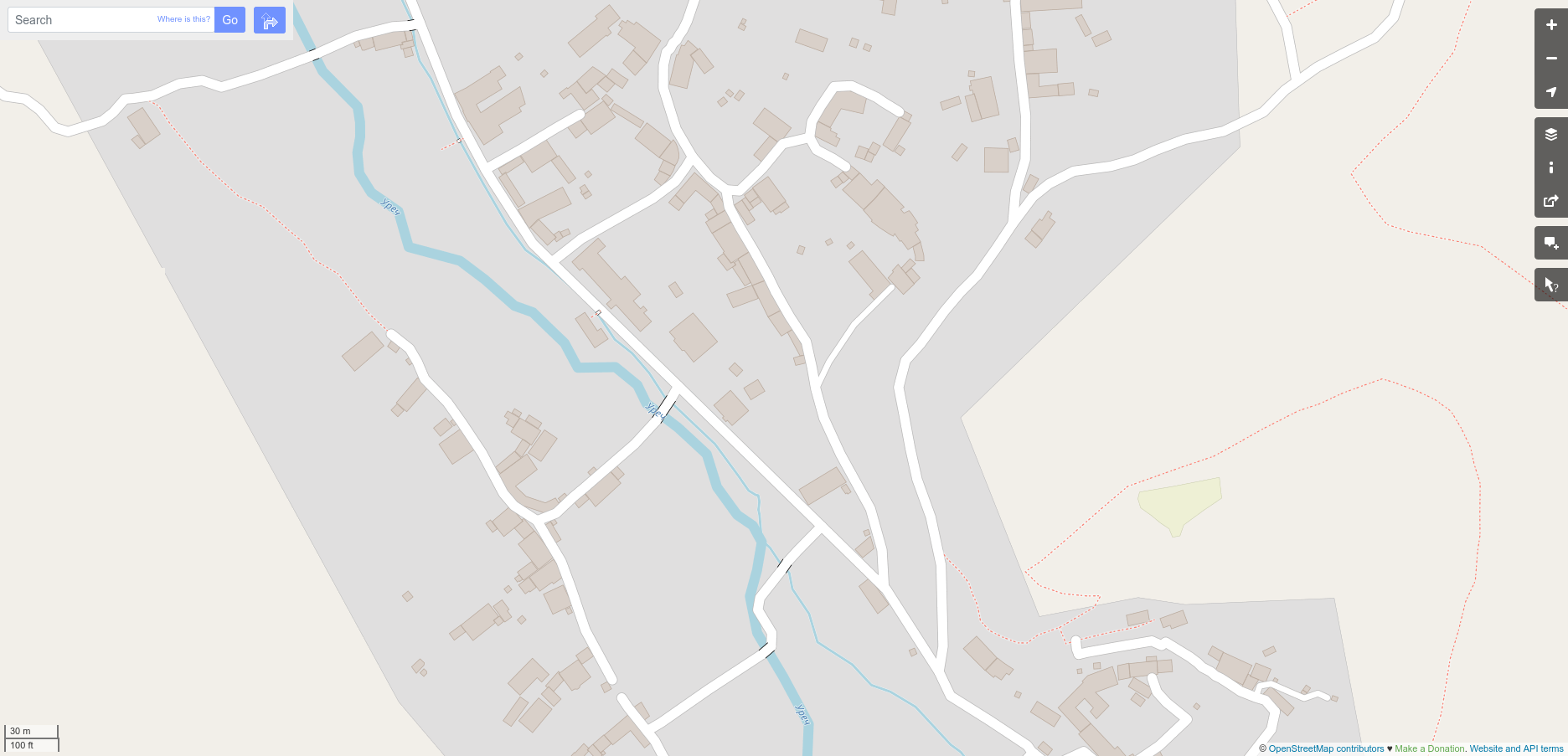
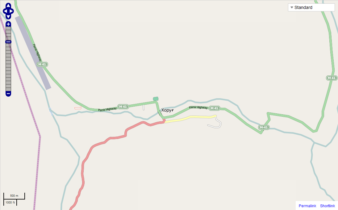
| 16:34, 2 August 2012 | Khorog before.png (file) |  |
80 KB | 2 | |
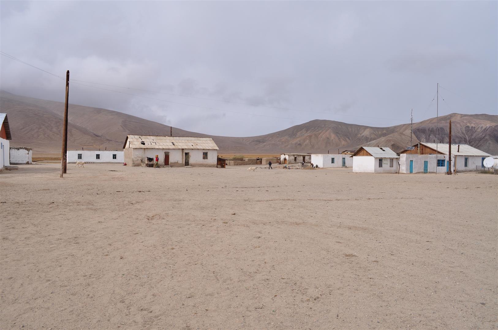
| 20:54, 23 July 2012 | Place hamlet tj.jpg (file) |  |
231 KB | Example of hamlet in Tajikistan. Bulunkul | 1 |
| 20:39, 23 July 2012 | Highway unclassified3 tj.jpg (file) |  |
199 KB | Example of unclassified road in Tajikistan. In Ishkashim | 1 |
| 20:25, 23 July 2012 | Place village render tj.png (file) |  |
9 KB | How a place=village is rendered in Mapnik | 1 |
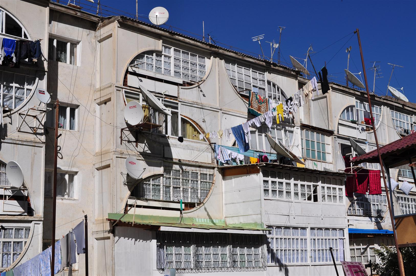
| 20:11, 23 July 2012 | Building apartments tj.jpg (file) |  |
372 KB | Example of multi-storey apartment building in Tajikistan. In Khorog | 1 |
| 20:36, 13 July 2012 | Place town render tj.png (file) |  |
13 KB | How a place=town is rendered in Mapnik | 1 |
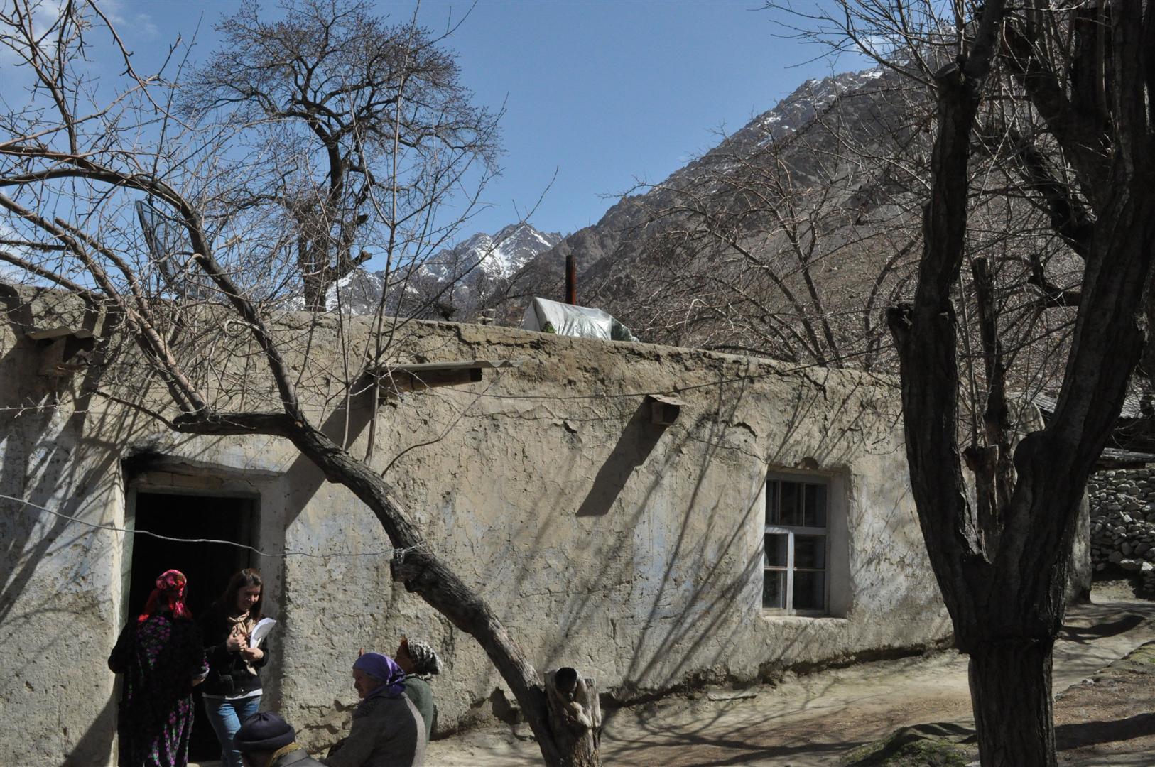
| 20:16, 13 July 2012 | Biulding house tj.jpg (file) |  |
389 KB | Example of a traditional house in Tajikistan. In Bartang valley | 1 |
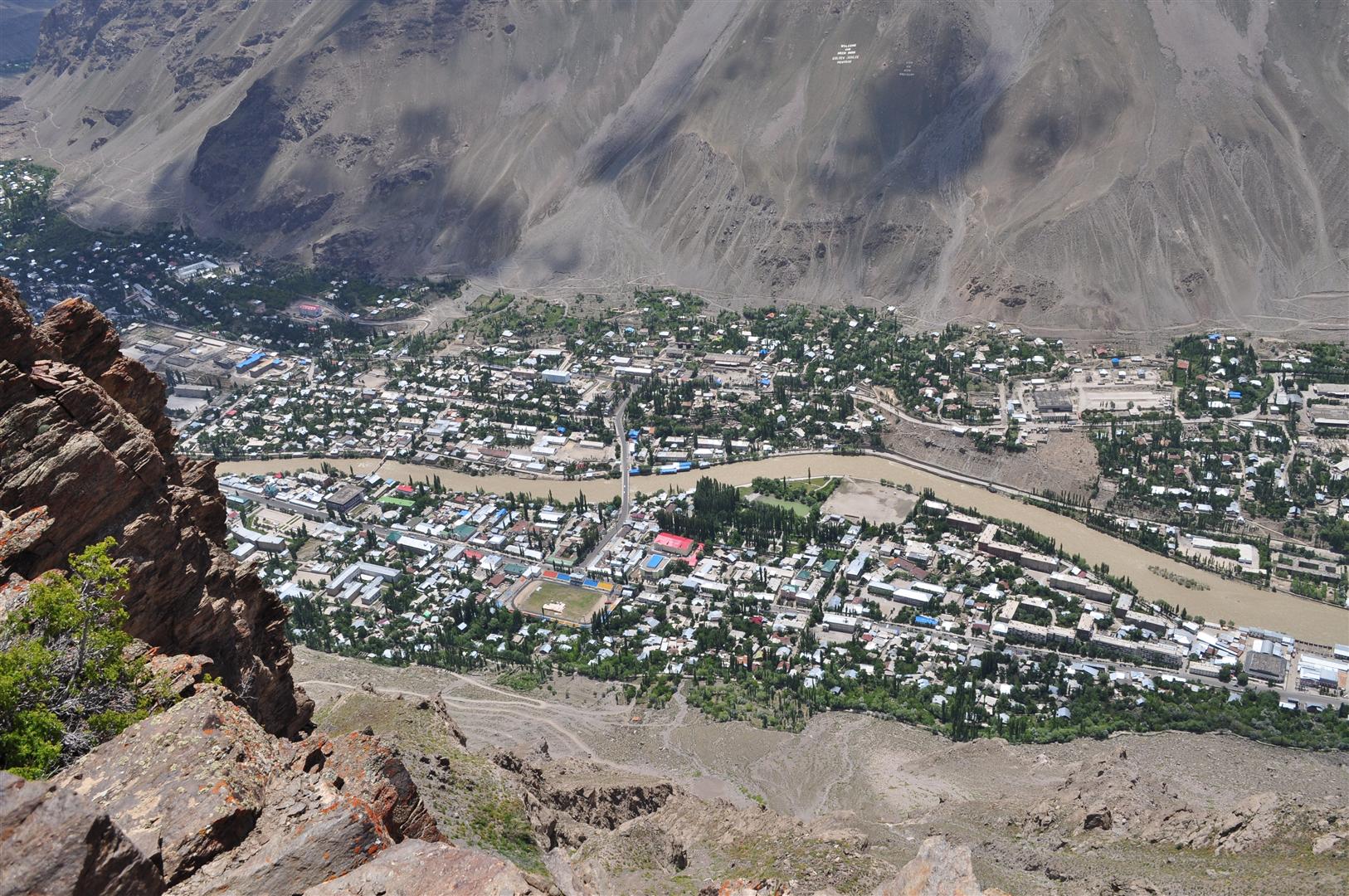
| 20:12, 13 July 2012 | Place town tj.jpg (file) |  |
476 KB | Example of town in Tajikistan. Khorog viewed from above Khufoq | 1 |
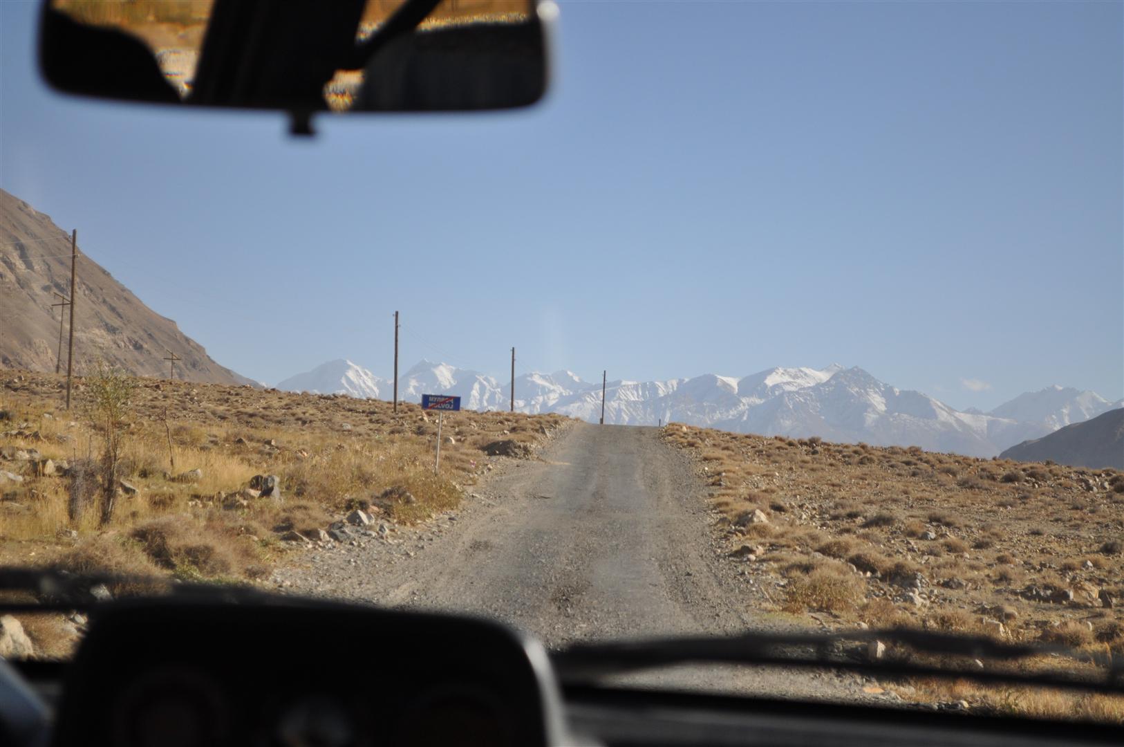
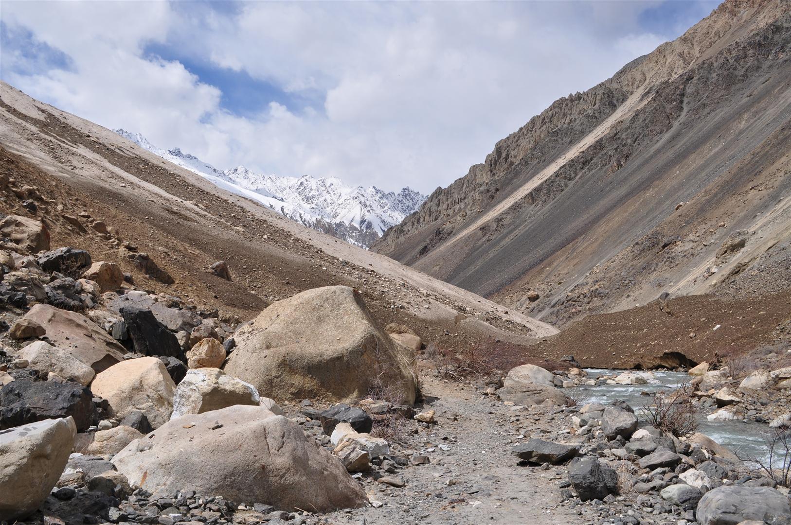
| 20:10, 13 July 2012 | Highway path tj.jpg (file) |  |
408 KB | Example of path in Tajikistan. In Bartang valley | 1 |