Uploads by Sletuffe
Jump to navigation
Jump to search
This special page shows all uploaded files.
| Date | Name | Thumbnail | Size | Description | Versions |
|---|---|---|---|---|---|
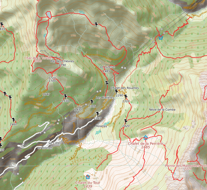
| 18:11, 20 January 2020 | Demo-openhikingmap.png (file) |  |
773 KB | 2 | |
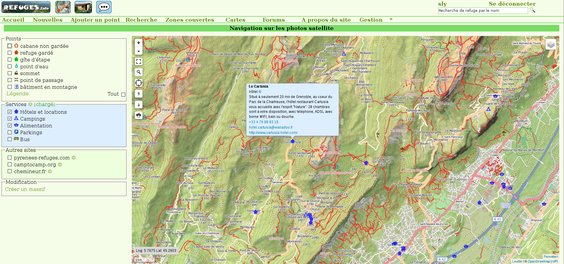
| 21:45, 13 May 2017 | Refuges.info-nav-page.jpeg (file) |  |
722 KB | 1 | |
| 23:16, 15 January 2014 | Marked trail pole.jpeg (file) |  |
260 KB | 1 | |
| 23:09, 15 January 2014 | Tree mounted guidepost.jpeg (file) |  |
366 KB | 1 | |
| 15:20, 3 June 2013 | Simple guidepost.jpg (file) |  |
1.39 MB | often found in the alps to express you still are on a trail | 1 |
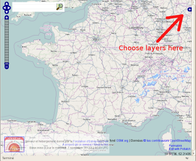
| 12:15, 7 November 2012 | Layer-chooser.png (file) |  |
221 KB | 1 | |
| 18:27, 14 October 2012 | Multipolygon Illustration self touching on a way.svg (file) |  |
14 KB | 1 | |
| 18:24, 14 October 2012 | Multipolygon Illustration self touching on one point.svg (file) |  |
13 KB | 1 | |
| 15:15, 14 October 2012 | Multipolygon Illustration inner touching outer one point.svg (file) |  |
17 KB | 1 | |
| 15:06, 14 October 2012 | Multipolygon Illustration touching on middle way.svg (file) |  |
14 KB | 1 | |
| 14:36, 14 October 2012 | Multipolygon Illustration 8 shape with intesection point.svg (file) |  |
14 KB | 1 | |
| 14:29, 14 October 2012 | Multipolygon Illustration touching on isolated points.svg (file) |  |
11 KB | 1 | |
| 14:23, 14 October 2012 | Multipolygon Illustration overlaping.svg (file) |  |
11 KB | 1 | |
| 14:16, 14 October 2012 | Multipolygon Illustration self intersect.svg (file) |  |
11 KB | 1 | |
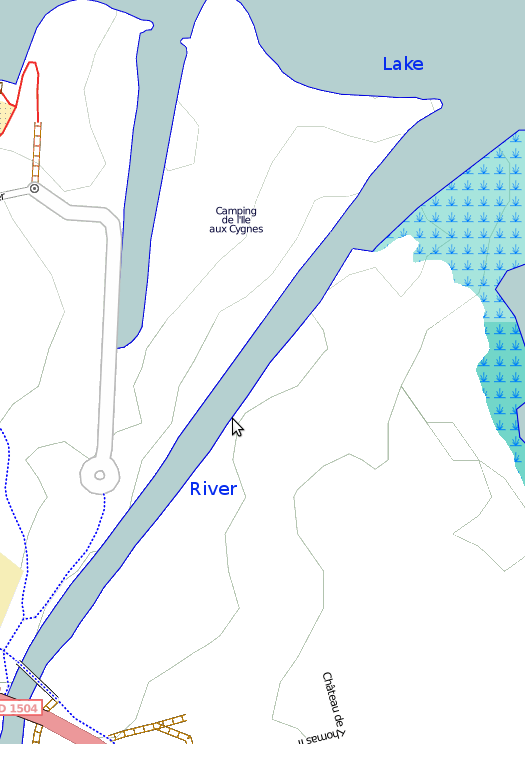
| 22:12, 13 September 2012 | River-and-lake-junction.png (file) |  |
67 KB | 1 | |
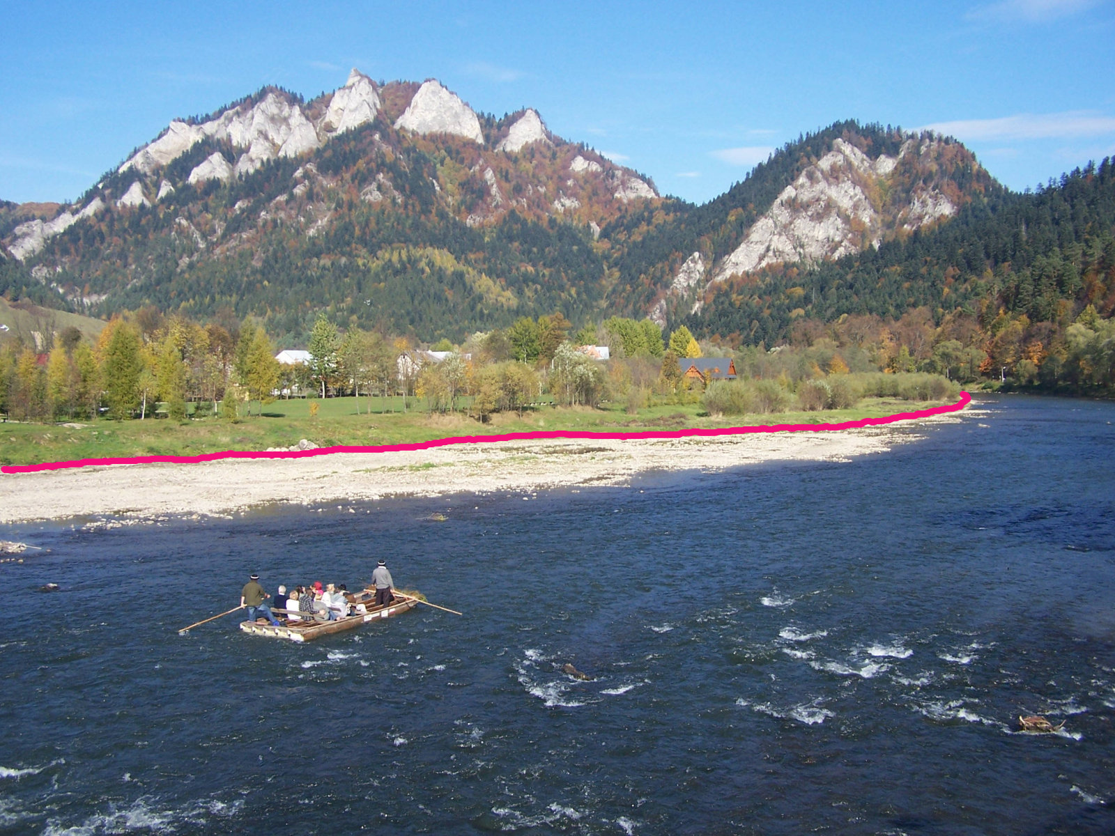
| 16:09, 28 June 2012 | Riverbank.jpg (file) |  |
495 KB | 1 | |
| 18:04, 4 May 2012 | Multipolygon Illustration touching on one point.svg (file) |  |
11 KB | 1 | |
| 13:35, 2 March 2012 | Boundary-segment.svg (file) |  |
16 KB | 1 | |
| 10:11, 23 February 2012 | SFA MultiLineString.svg (file) |  |
16 KB | 2 | |
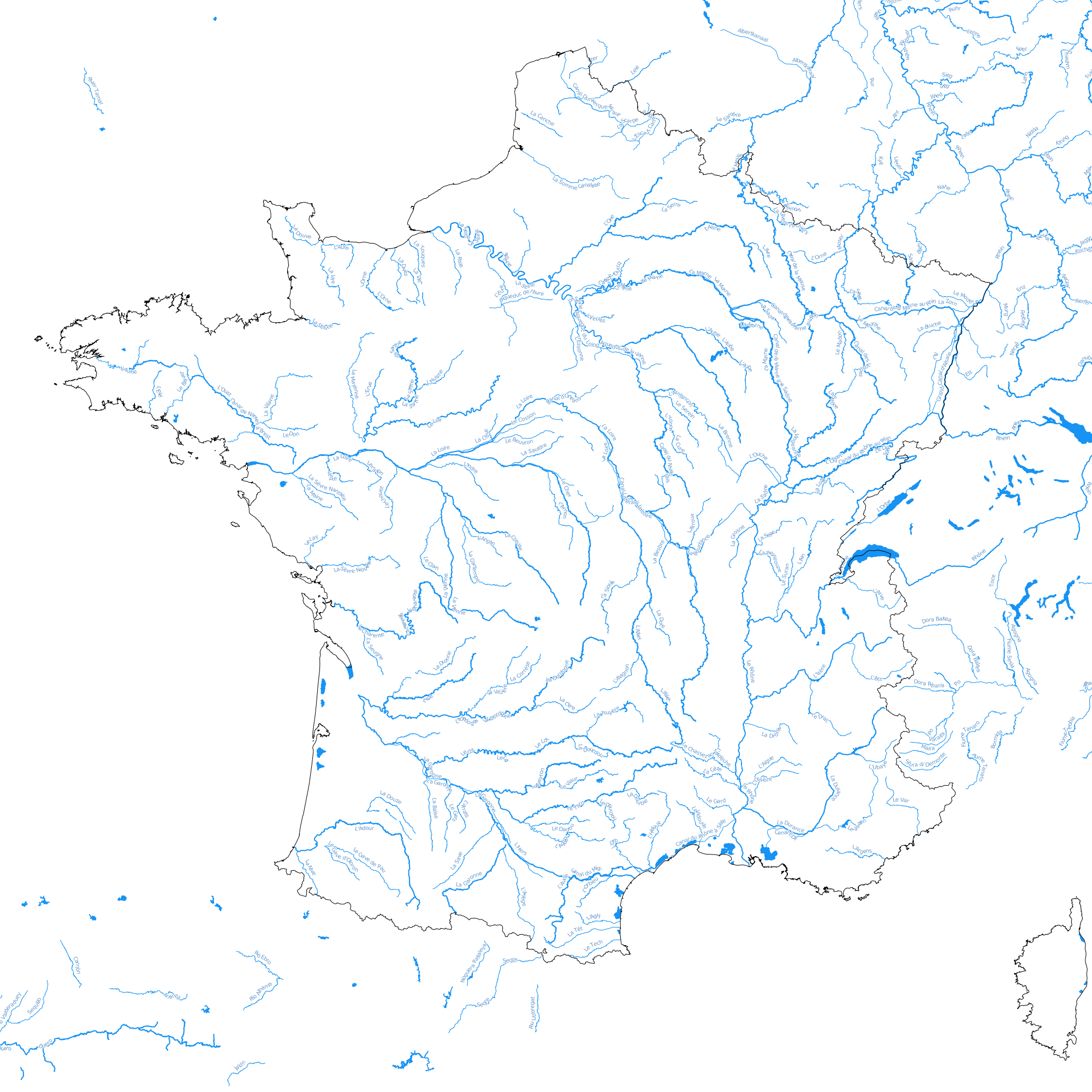
| 17:45, 11 December 2011 | Hydro.png (file) |  |
807 KB | C'est un peu débile de mettre à jour cette image à la main, je vais voir comment faire ça mieux | 4 |
| 11:45, 14 November 2011 | Bulk-download.png (file) |  |
8 KB | 2 | |
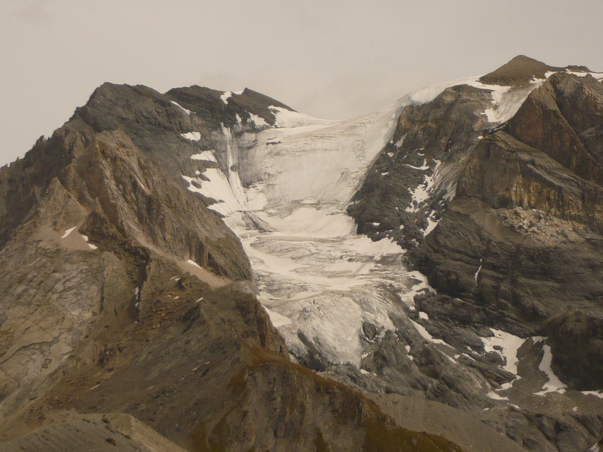
| 13:46, 30 January 2011 | Glacier surounded by rocks.JPG (file) |  |
463 KB | Le sommet de la Grande Casse vu du col de la Vanoise - The Grande Casse summit as seen from the Col de la Vanoise My own photo, license is : do what ever you whant with it | 2 |
| 13:10, 27 September 2010 | Port-admin boundary.png (file) |  |
87 KB | 1 | |
| 22:33, 22 August 2010 | Solid bridge.jpeg (file) |  |
541 KB | 1 | |
| 22:09, 18 August 2010 | Earth-europe-selected.png (file) |  |
6 KB | 1 | |
| 22:08, 18 August 2010 | Earth-far-away.png (file) |  |
6 KB | 2 | |
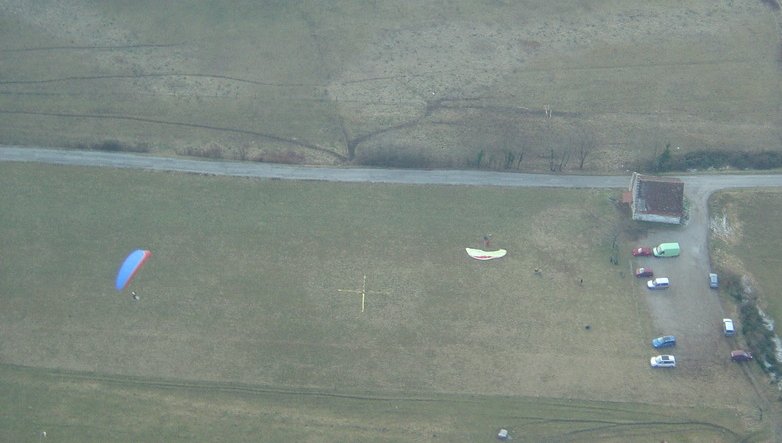
| 14:06, 10 August 2010 | Montagny landing.jpg (file) |  |
53 KB | 1 | |
| 14:05, 10 August 2010 | Montagny landing.jpeg (file) |  |
55 KB | 1 | |
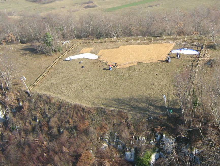
| 16:02, 7 August 2010 | Decollage verel pragondran.jpeg (file) |  |
111 KB | 1 | |
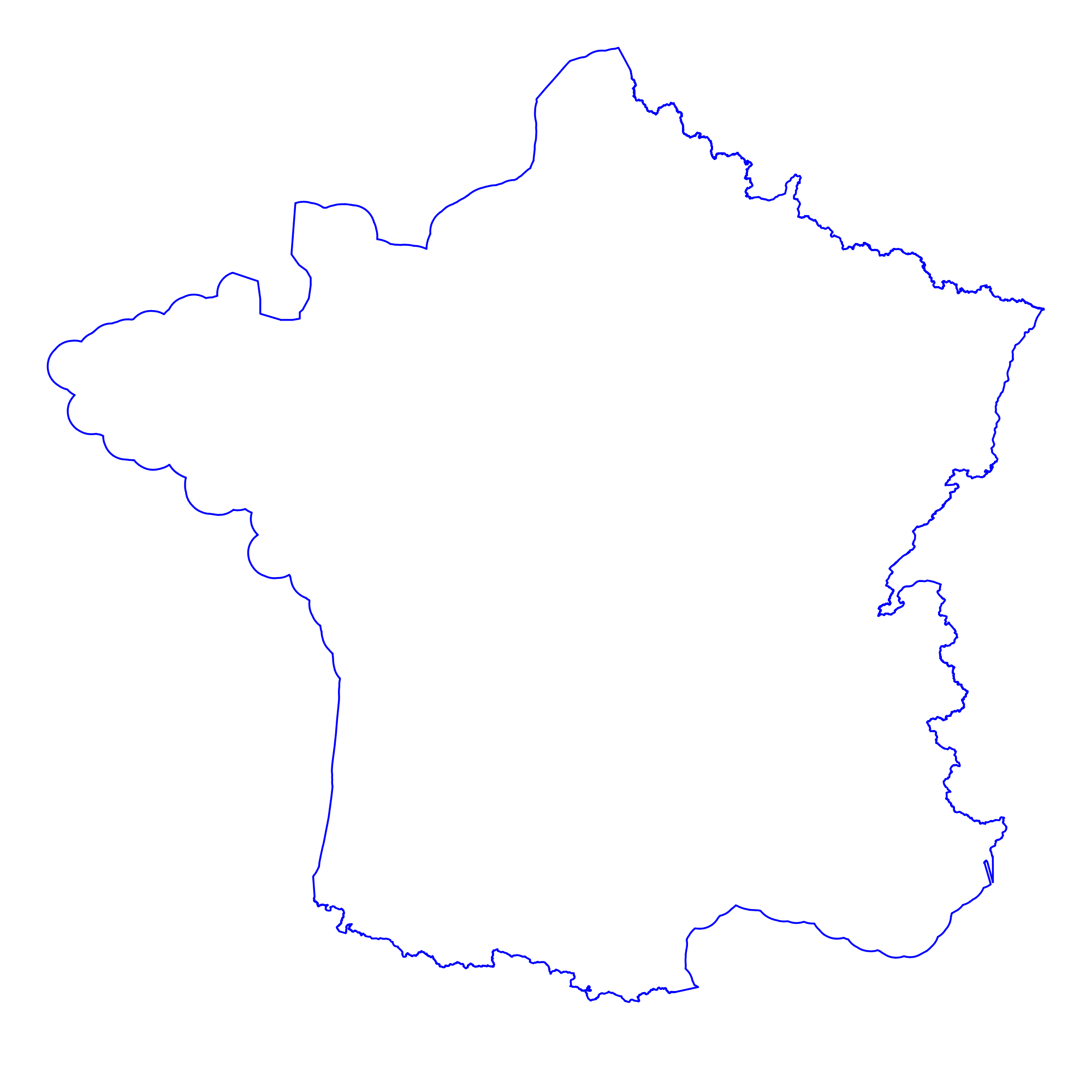
| 09:09, 27 July 2010 | France.png (file) |  |
159 KB | Nouvelle version mise à jour (beaucoup d'îles ont été rajoutées) | 3 |
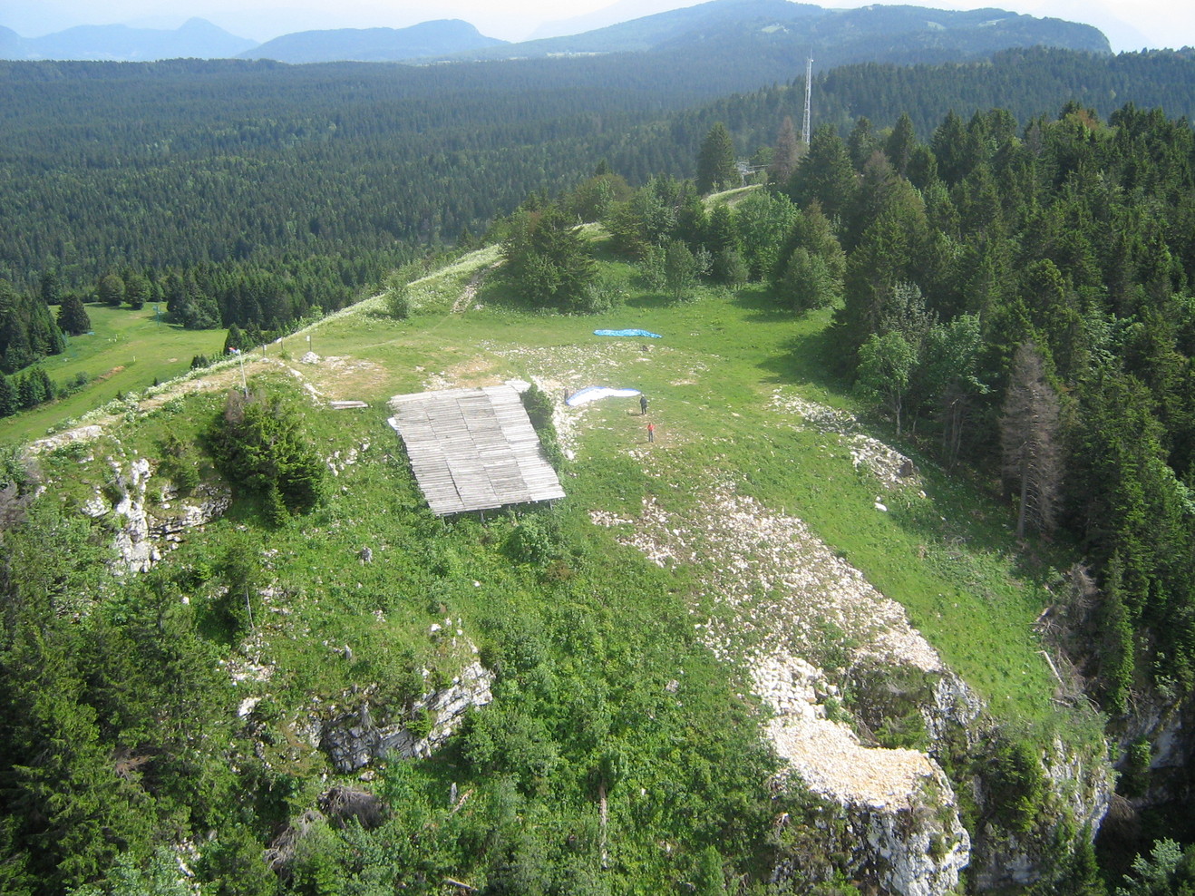
| 07:58, 27 July 2010 | Paragliding-hanggliding-take-off.jpeg (file) |  |
565 KB | Both a paragliding and hanggliding take off | 1 |
| 16:44, 6 October 2009 | France-maritime.svg (file) |  |
973 KB | 1 | |
| 16:41, 6 October 2009 | France-maritime.png (file) |  |
75 KB | 1 | |
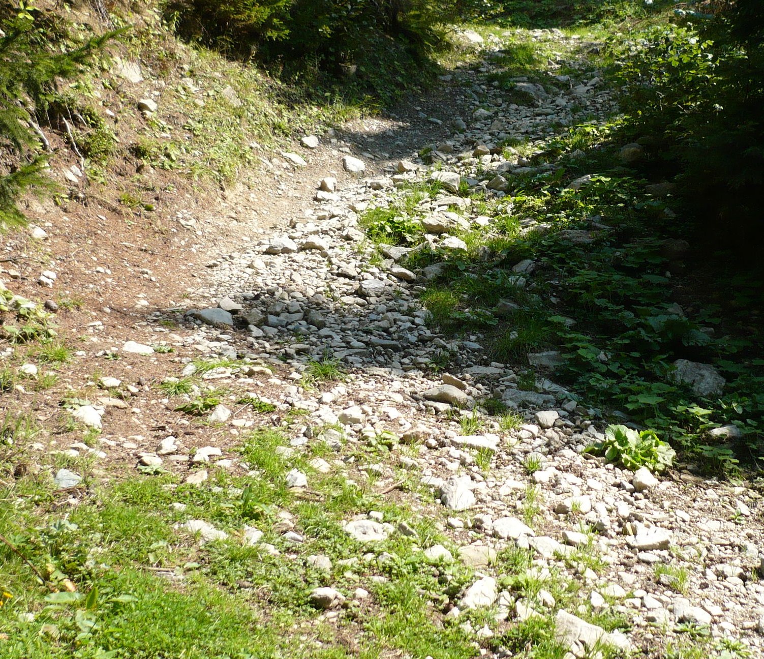
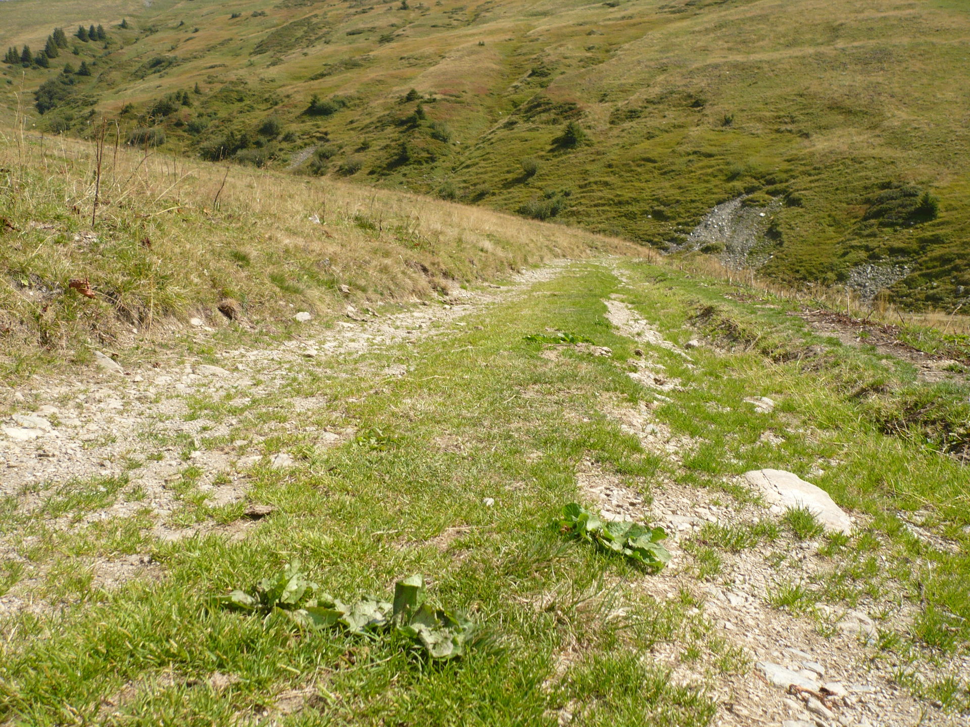
| 17:11, 17 September 2009 | Mountain-track5.jpg (file) |  |
702 KB | steep turn with big rocks, new version with edge cut | 2 |
| 16:18, 17 September 2009 | Mountain-track2.jpg (file) |  |
758 KB | 1 | |
| 16:06, 17 September 2009 | Mountain-track4.jpg (file) |  |
898 KB | 1 | |
| 16:05, 17 September 2009 | Mountain-track3.jpg (file) |  |
827 KB | 1 | |
| 16:00, 17 September 2009 | Mountain-track1.jpg (file) |  |
691 KB | 1 | |
| 09:21, 3 September 2009 | Admin level8 map.png (file) |  |
300 KB | map sample with admin_level=8 | 1 |
| 09:18, 3 September 2009 | Fixmes-map.png (file) |  |
181 KB | A sample map showing fixmes texts | 1 |
| 09:14, 3 September 2009 | Notes-map.png (file) |  |
213 KB | map showing notes text | 1 |
| 11:29, 5 August 2009 | Bivouac-rainetto.jpeg (file) |  |
30 KB | 1 | |
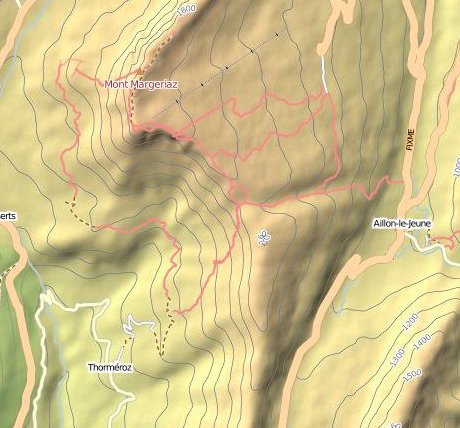
| 12:19, 2 August 2009 | Hikingtopomap.jpeg (file) |  |
49 KB | 1 | |
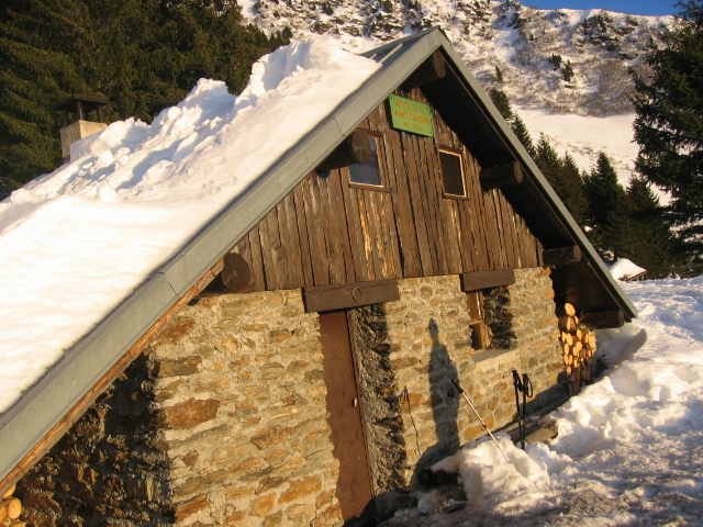
| 15:35, 1 August 2009 | Outside wilderness hut.jpeg (file) |  |
247 KB | 1 | |
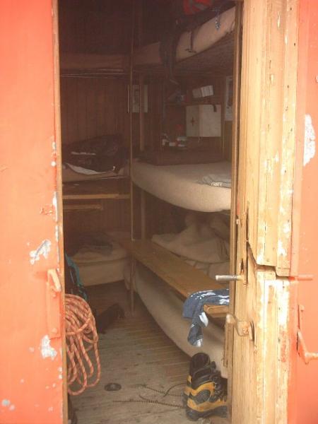
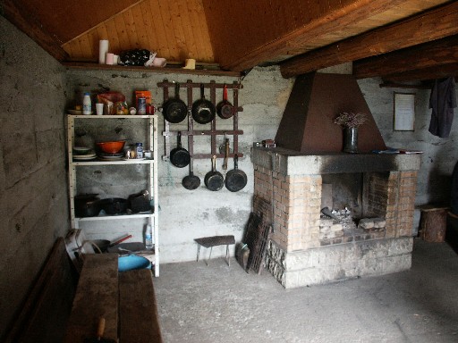
| 15:34, 1 August 2009 | Inside wilderness mountain hut.jpeg (file) |  |
80 KB | 1 | |
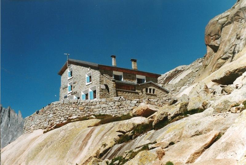
| 14:31, 1 August 2009 | Refuge-du-couvercle.jpeg (file) |  |
74 KB | Refuge du couvercle, 128 places, in the Mont Blanc massif | 1 |
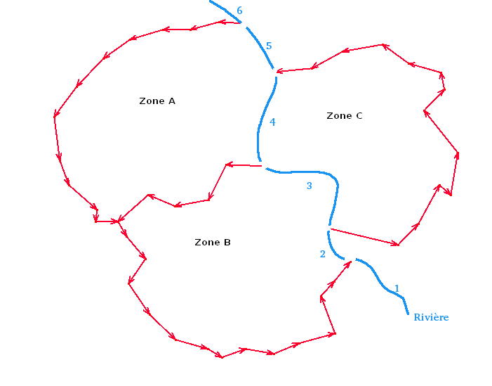
| 09:50, 19 March 2009 | With river duplicate boundary.PNG (file) |  |
11 KB | Another boundary solution by duplicating ways with the same nodes | 1 |
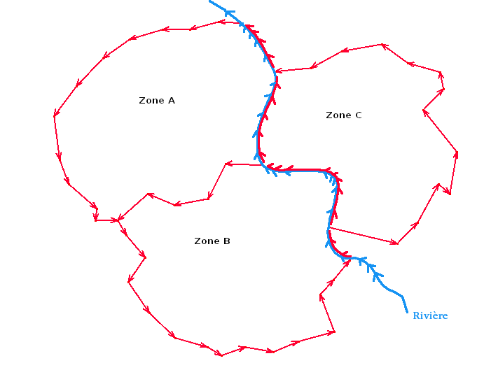
| 09:42, 19 March 2009 | With river boundary.PNG (file) |  |
11 KB | Administrative surface separated by a river boundary | 1 |
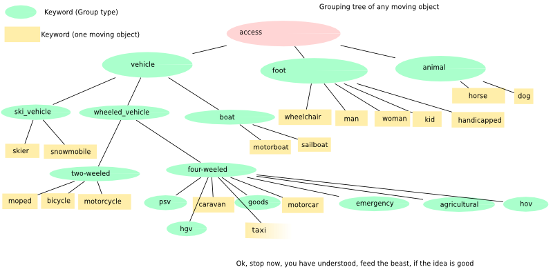
| 11:26, 24 February 2009 | Grouping moving object.png (file) |  |
68 KB | 4 | |
| 11:23, 24 February 2009 | Grouping moving object.svg (file) |  |
46 KB | 4 |