Uploads by StC
Jump to navigation
Jump to search
This special page shows all uploaded files.
| Date | Name | Thumbnail | Size | Description | Versions |
|---|---|---|---|---|---|
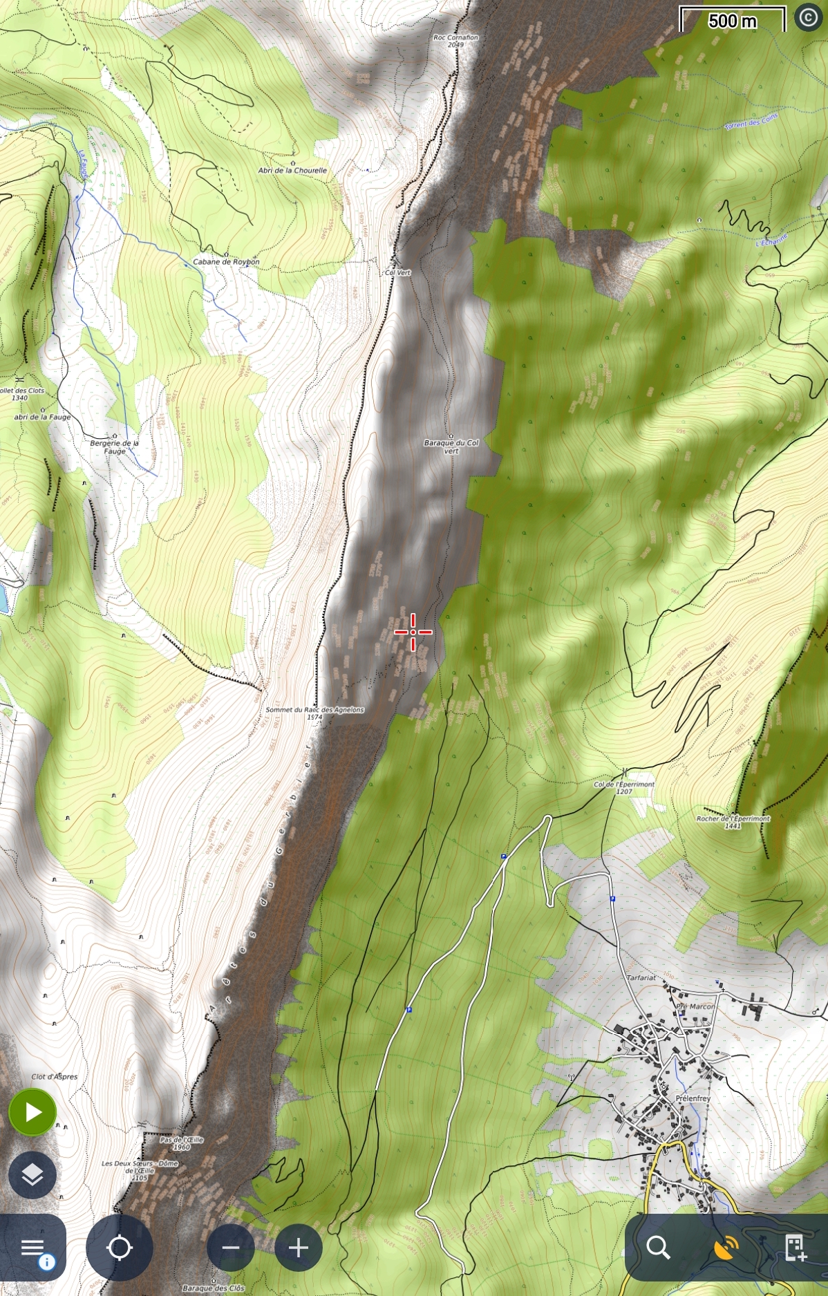
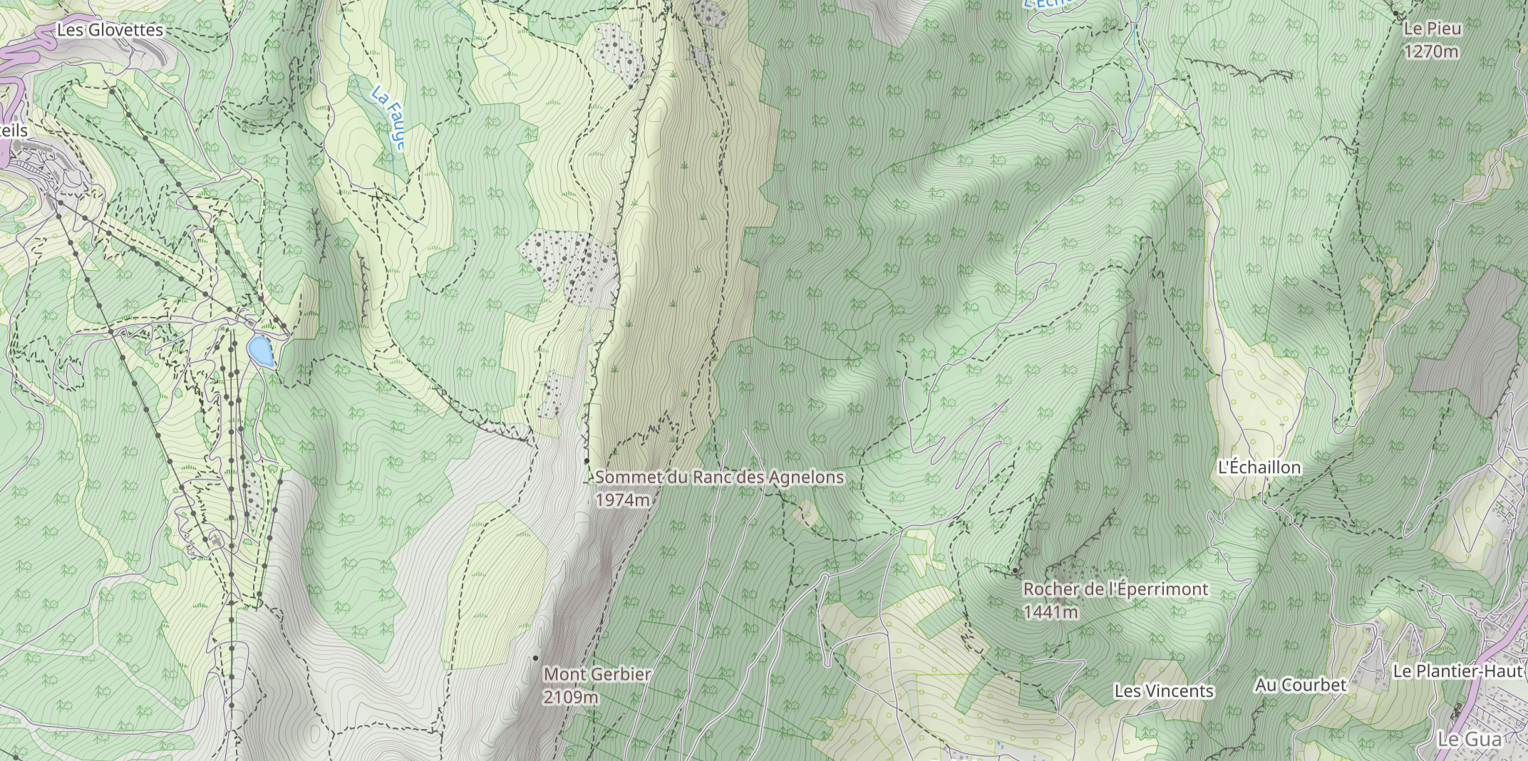
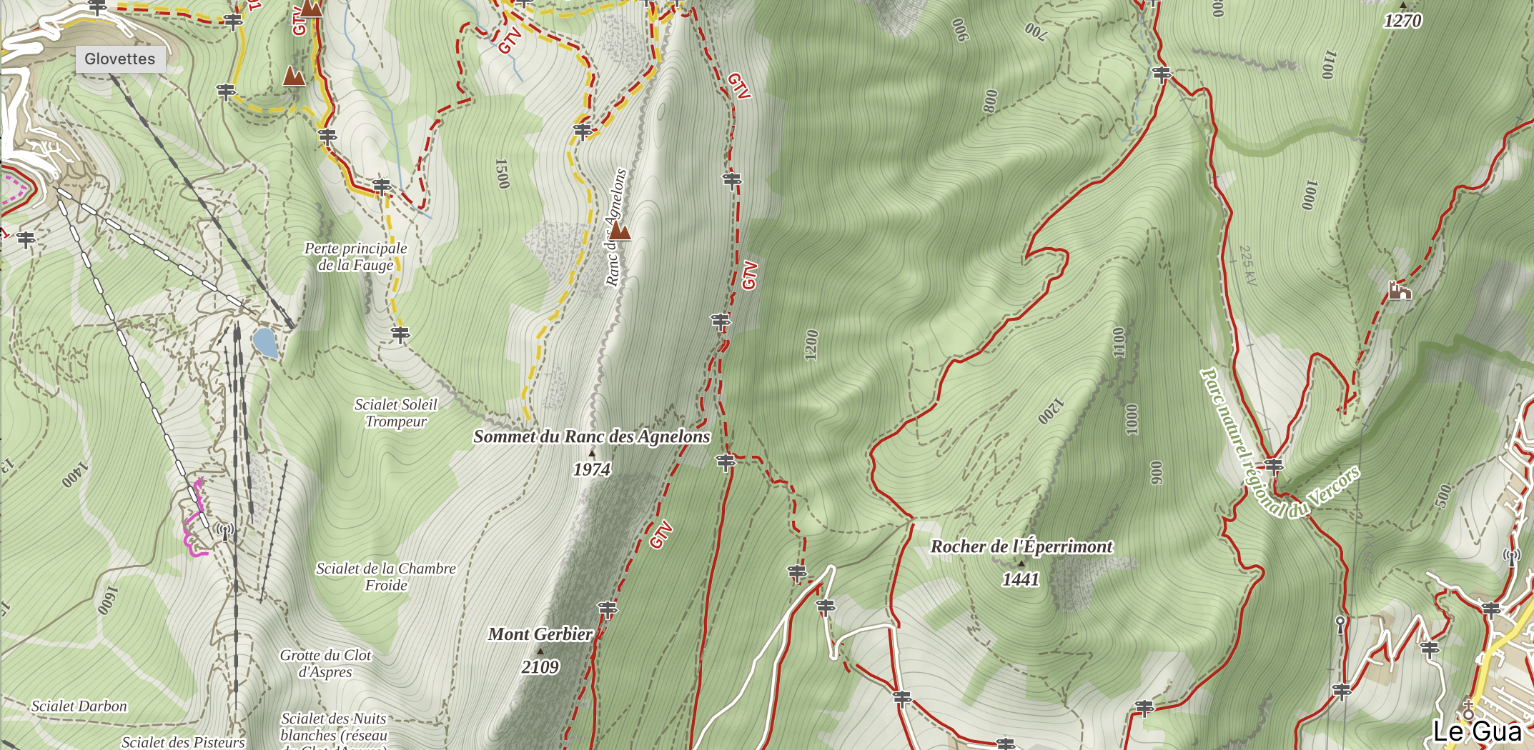
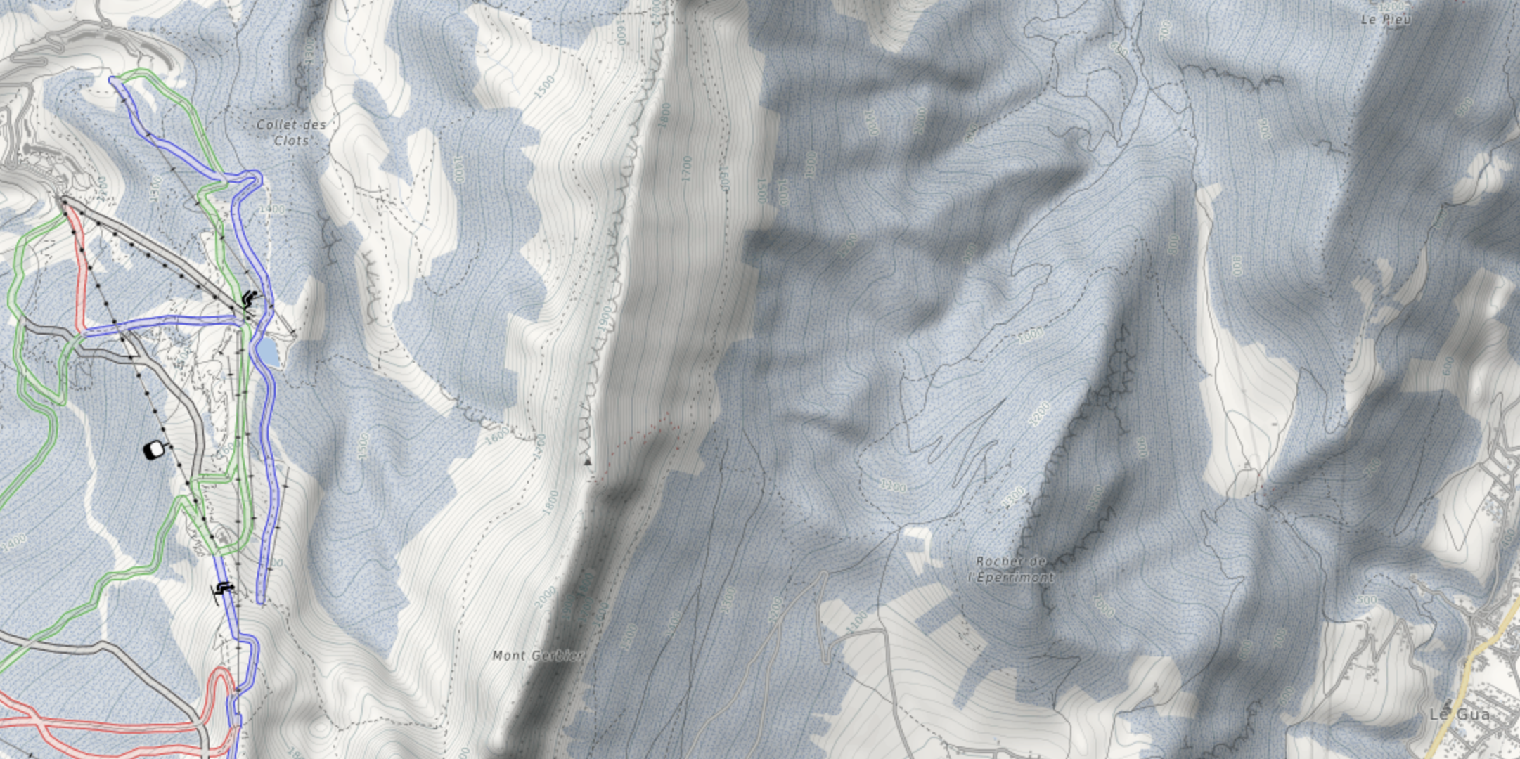
| 19:46, 28 May 2024 | Outdoor Sample - FranceTopo relief.png (file) |  |
1.29 MB | == Summary == {{Information | description=A snapshot of the FranceTopo relief overlay in Vercors | source=https://francetopo.fr | date=May 2024 }} | 1 |
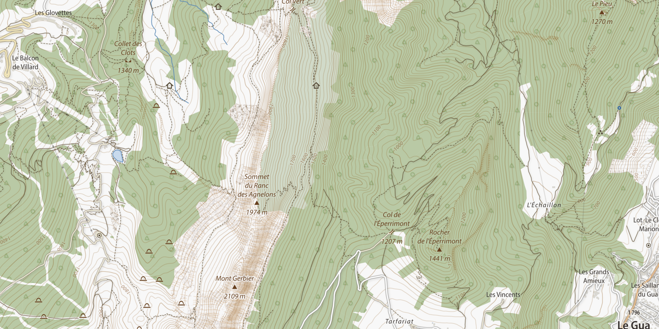
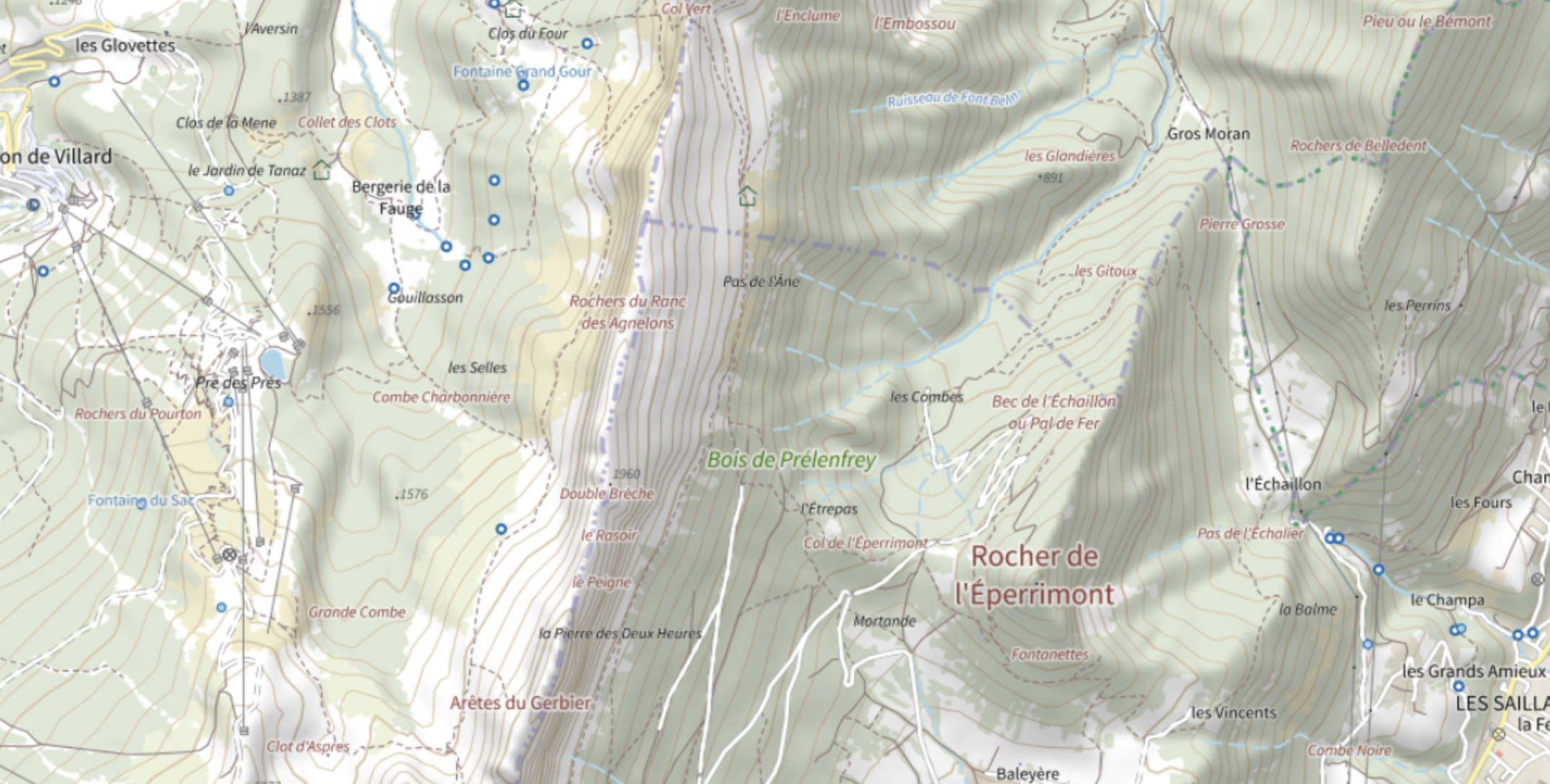
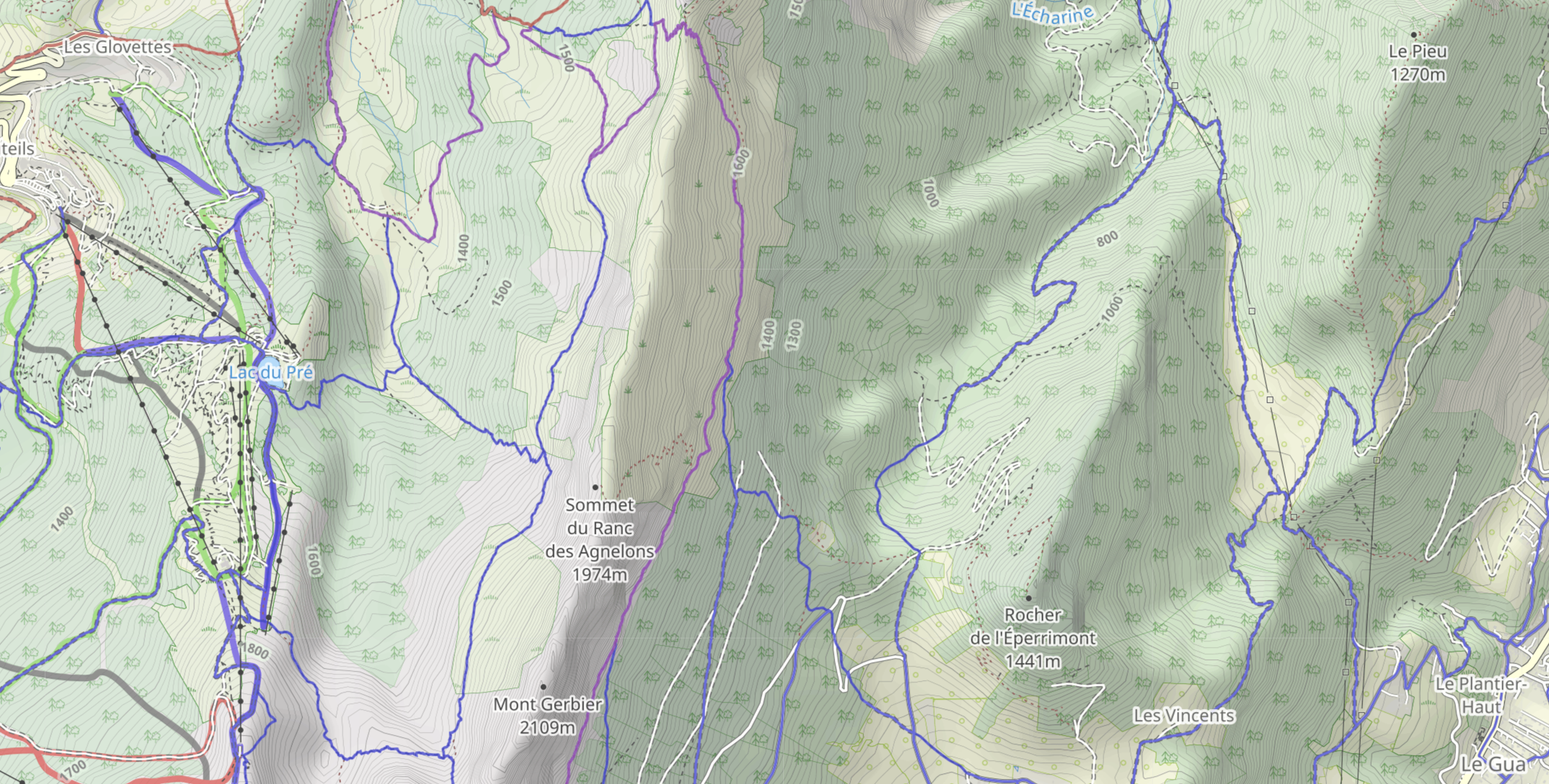
| 19:33, 28 May 2024 | Outdoor sample - FranceTopo.png (file) |  |
3.32 MB | {{Information | description=A snapshot of the FranceTopo map in Vercors | source=https://francetopo.fr | date=May 2024 }} | 1 |
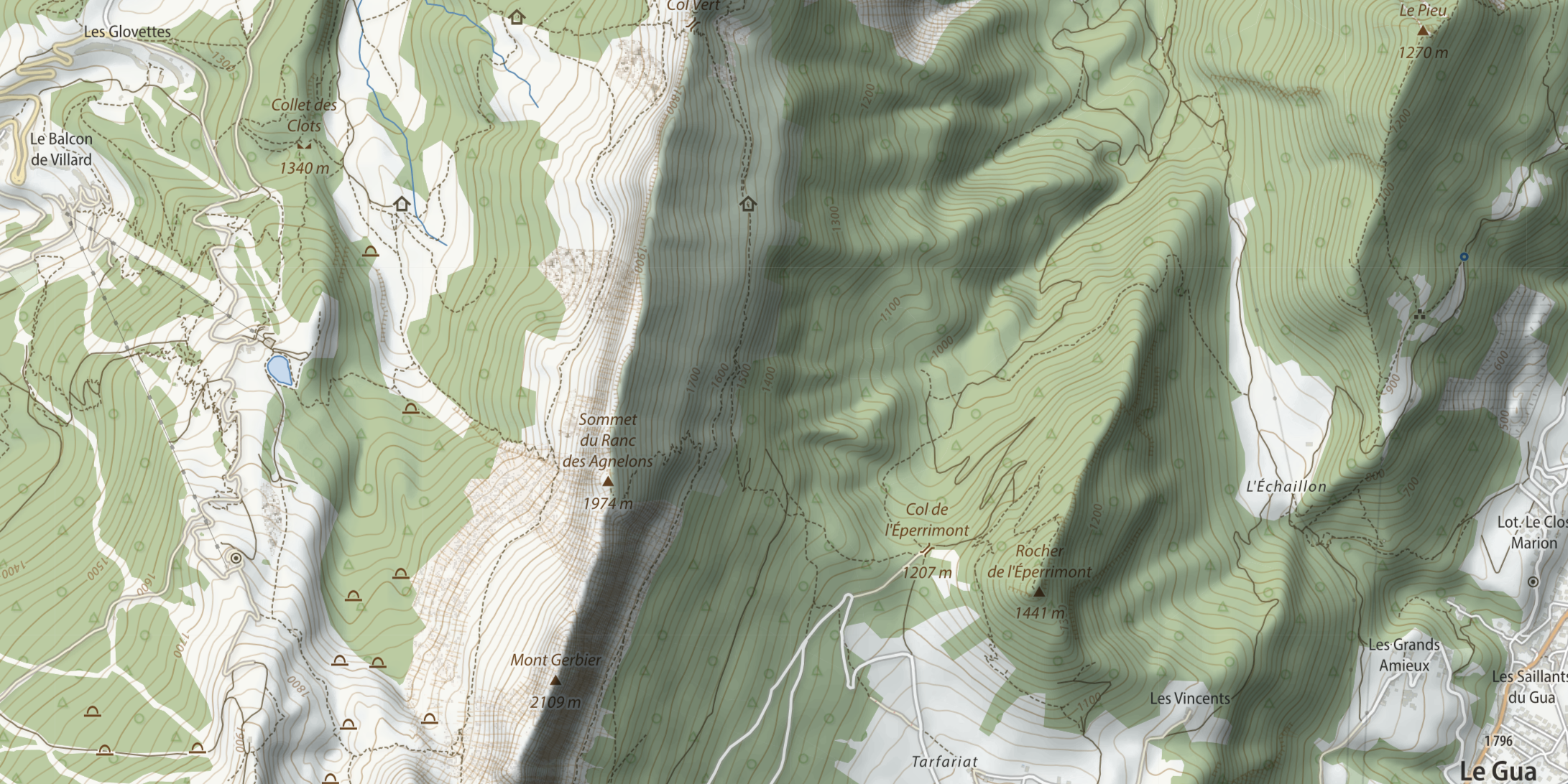
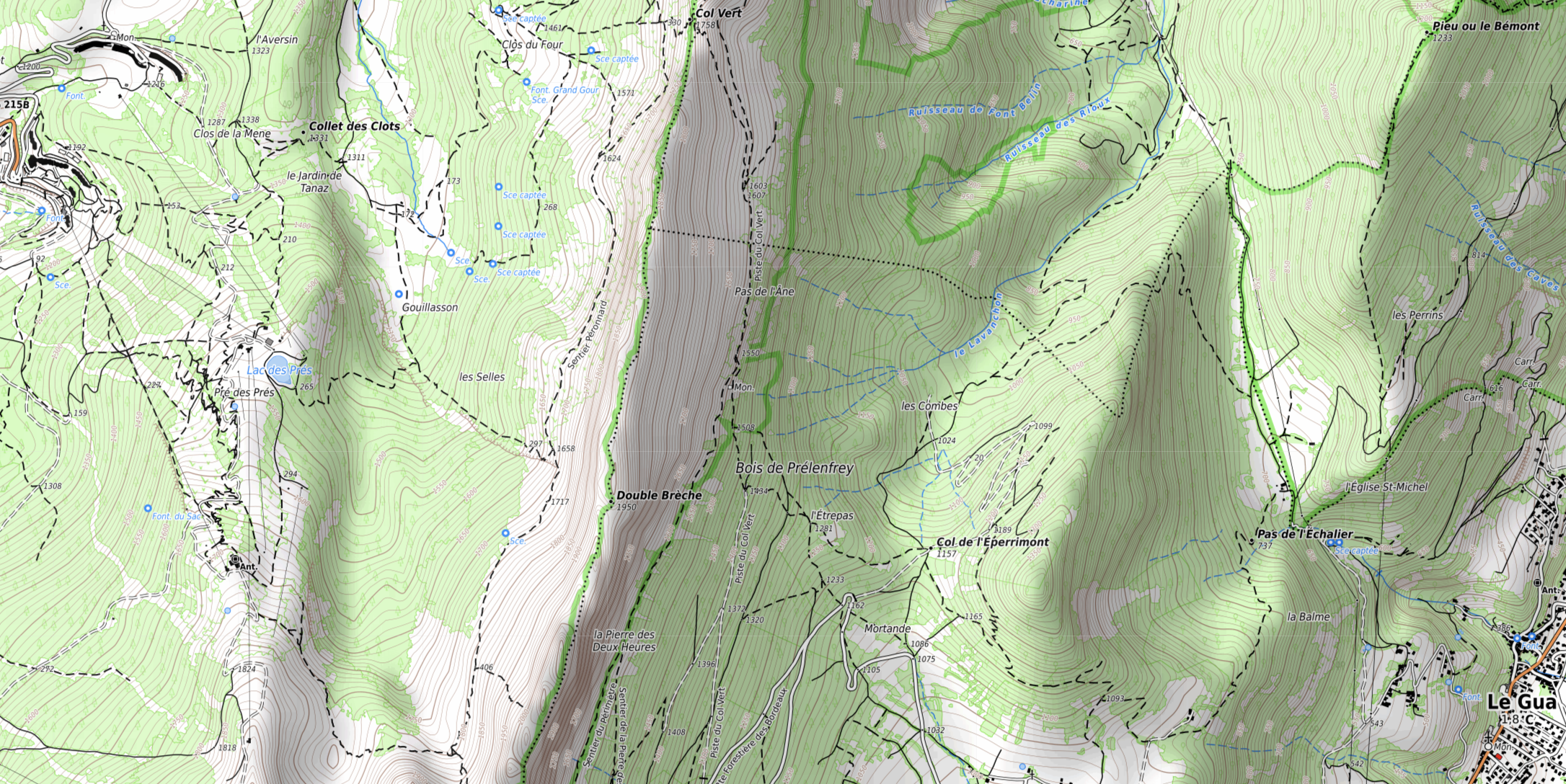
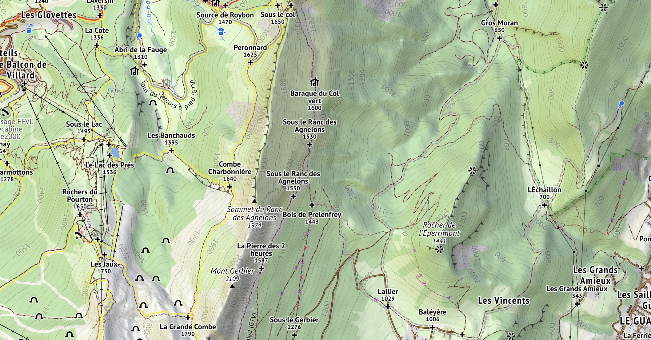
| 18:57, 28 May 2024 | Outdoor sample - FranceTopo with Relief.png (file) |  |
3.91 MB | == Summary == {{Information | description=A snapshot of the FranceTopo map in Vercors | source=https://francetopo.fr | date=May 2024 }} | 1 |
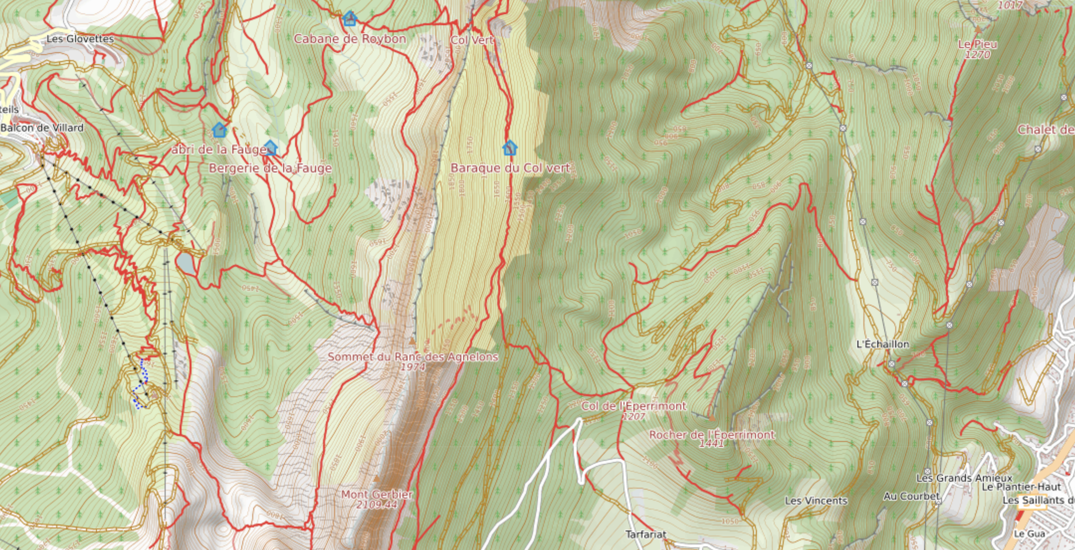
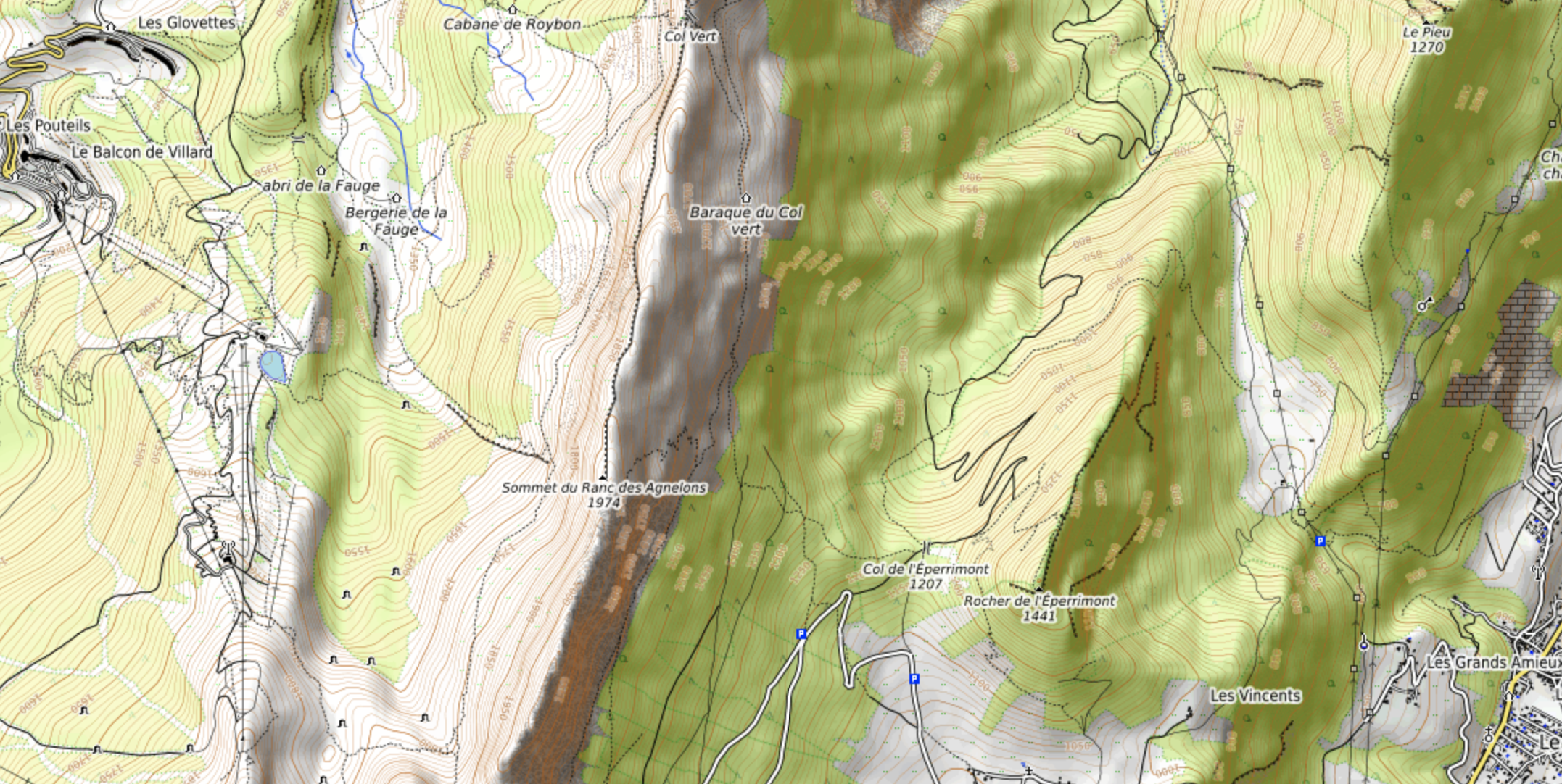
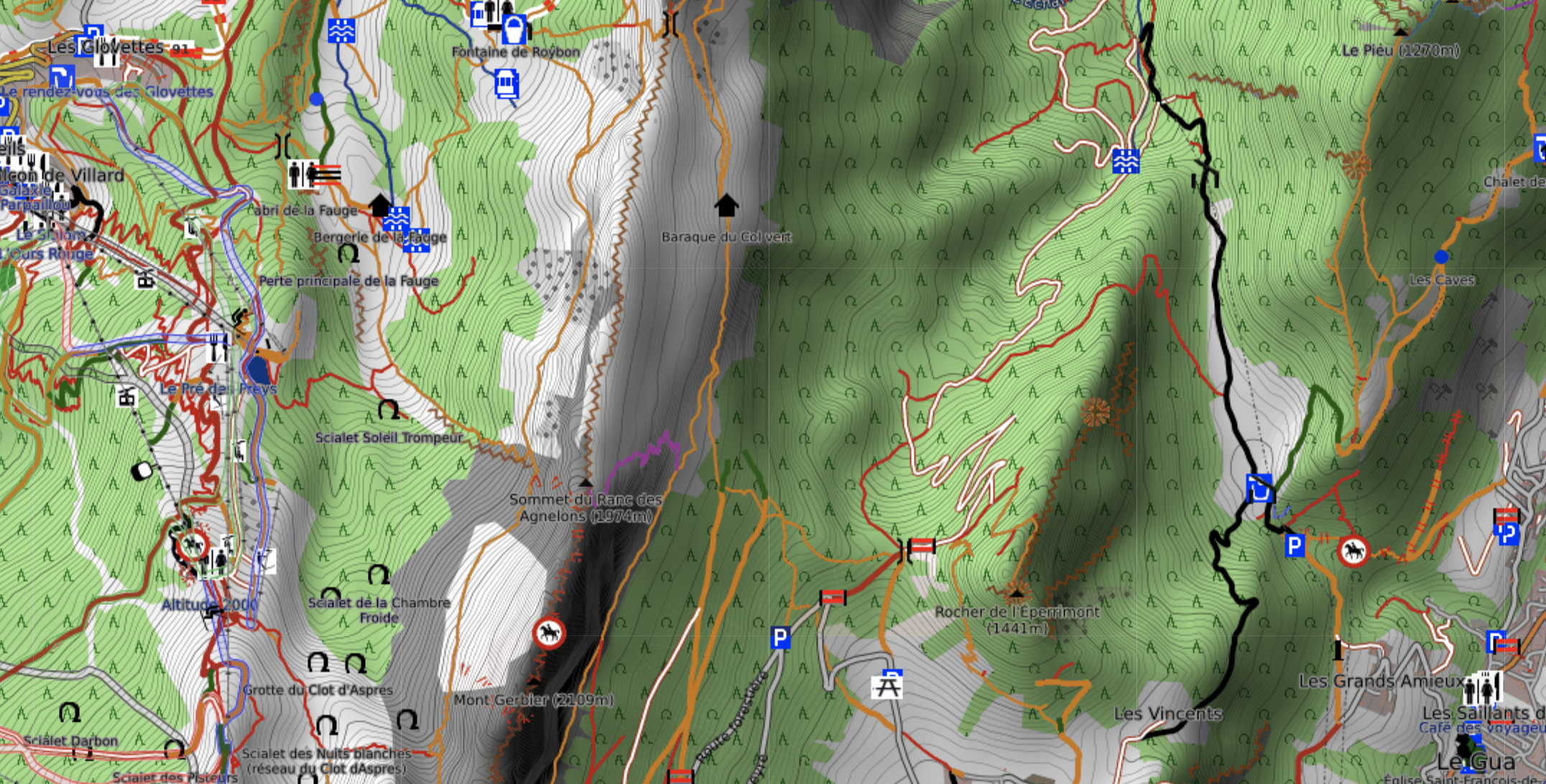
| 18:20, 28 May 2024 | Outdoor sample - Maps.Refuges.Info.png (file) |  |
4.64 MB | {{Information | description=A snapshot of the Maps.Refuges.Info map in Vercors | source=https://maps.refuges.info/ | date=May 2024 }} | 1 |
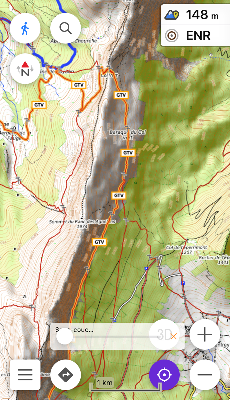
| 17:16, 28 May 2024 | Outdoor sample - Locus Map with OpenTopoMap.jpg (file) |  |
1.89 MB | {{Information | description=A screenshot of Locus Map displaying OpenTopoMap in Vercors | date=May 2024 }} | 1 |
| 16:05, 28 May 2024 | Outdoor sample - OsmAnd with OpenTopoMap and Waymarkedtrails.jpg (file) |  |
1.46 MB | {{Information | description=Example of use of the OsmAnd application with online OSM sources || date=May 2024 }} | 1 |
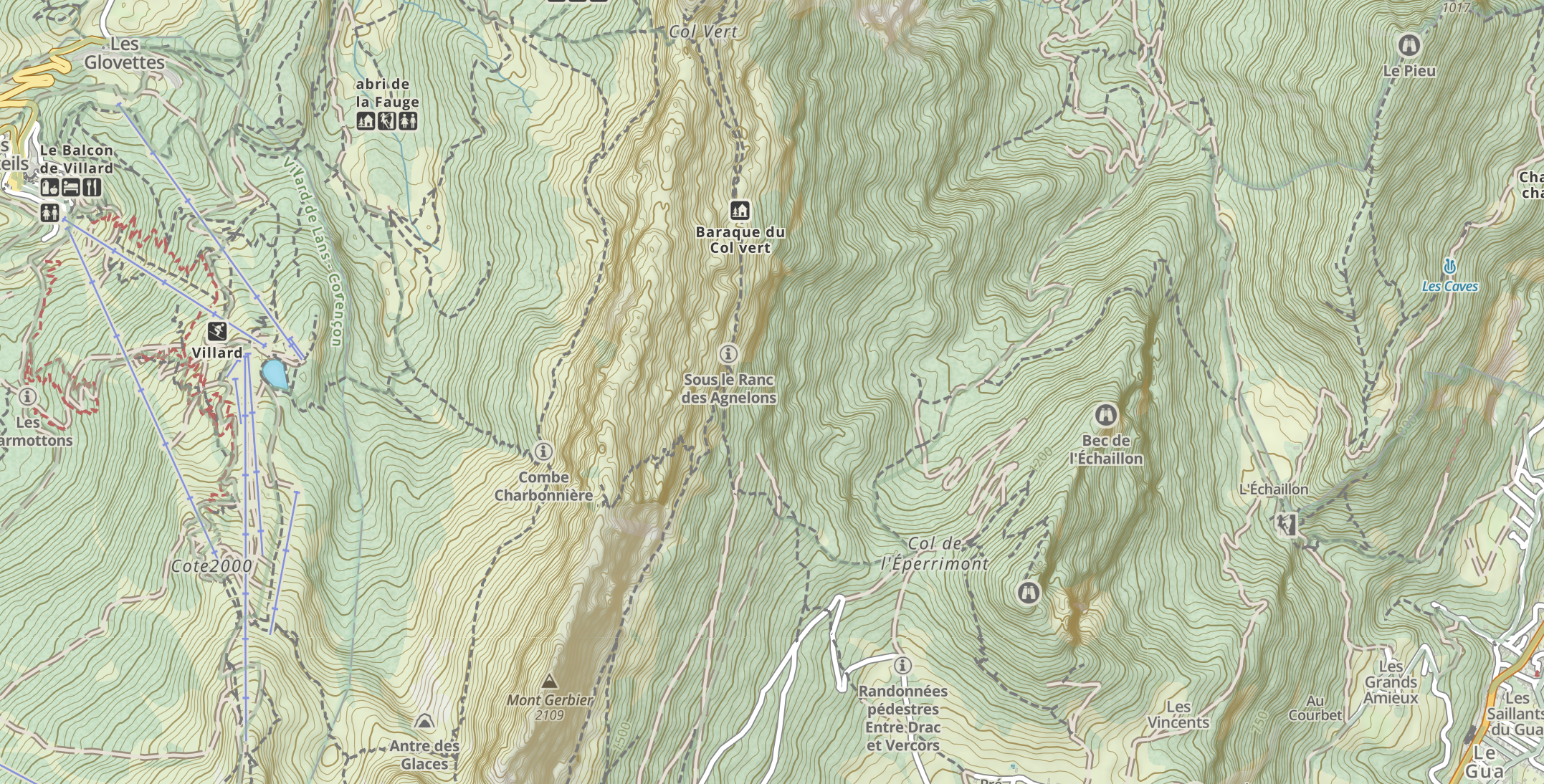
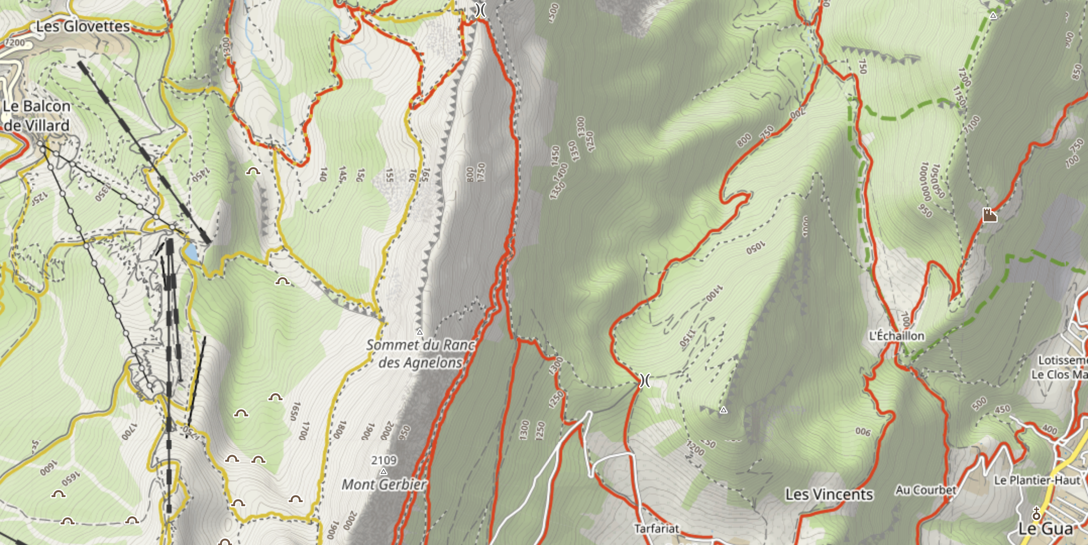
| 15:03, 25 May 2024 | Outdoor sample - Waymarkedtrails Hiking.png (file) |  |
547 KB | 2 | |
| 14:57, 25 May 2024 | Outdoor sample - OpenSnowMap Pistes.png (file) |  |
272 KB | {{Information | description=A snapshot of the Thunderforest Landscape map in Vercors | source=https://www.opensnowmap.org | date=May 2024 }} | 1 |
| 14:52, 24 May 2024 | Outdoor sample - IGN Slopes.png (file) |  |
1.38 MB | {{Information | description=A snapshot of the IGN Slopes overlay in Vercors | source=https://geoservices.ign.fr/services-web-experts-altimetrie | date=May 2024 }} | 1 |
| 14:50, 24 May 2024 | Outdoor sample - IGN Traces.png (file) |  |
94 KB | {{Information | description=A snapshot of the IGN Traces overlay in Vercors | source=https://geoservices.ign.fr/services-web-experts-cartovecto | date=May 2024 }} | 1 |
| 15:48, 21 May 2024 | Outdoor sample - Thunderforest Landscape.png (file) |  |
3.74 MB | {{Information | description=A snapshot of the Thunderforest Landscape map in Vercors | source=https://www.thunderforest.com/maps/landscape/ | date=May 2024 }} | 1 |
| 15:21, 17 May 2024 | Outdoor sample - IGN Plan.png (file) |  |
3.45 MB | {{Information | description=A snapshot of the IGN Plan map in Vercors | source=https://geoservices.ign.fr/planign | date=May 2024 }} | 1 |
| 15:19, 17 May 2024 | Outdoor sample - TOPen25.png (file) |  |
5.03 MB | {{Information | description=A snapshot of the TracesTrack Topo map in Vercors | source=https://osm.cquest.org/topen25 | date=May 2024 }} | 1 |
| 12:22, 17 May 2024 | Outdoor sample - TracesTrack Topo.png (file) |  |
3.18 MB | {{Information | description=A snapshot of the TracesTrack Topo map in Vercors | source=https://www.openstreetmap.org/#layers=P | date=May 2024 }} | 1 |
| 12:19, 17 May 2024 | Outdoor sample - Mapy Outdoor tmp.png (file) |  |
3.26 MB | {{Information | description=A snapshot of the Freemap Outdoor map in Vercors | source=https://www.freemap.sk/#layers=X | date=May 2024 }} | 1 |
| 12:15, 17 May 2024 | Outdoor sample - Freemap Outdoor.png (file) |  |
4.73 MB | {{Information | description=A snapshot of the Mapy Outdoor map in Vercors | source=https://en.mapy.cz/turisticka | date=May 2024 }} | 1 |
| 12:13, 17 May 2024 | Outdoor sample - OpenTopoMap.png (file) |  |
4.56 MB | {{Information | description=A snapshot of the OpenTopoMap map in Vercors | source=https://www.opentopomap.org/ | date=May 2024 }} | 1 |
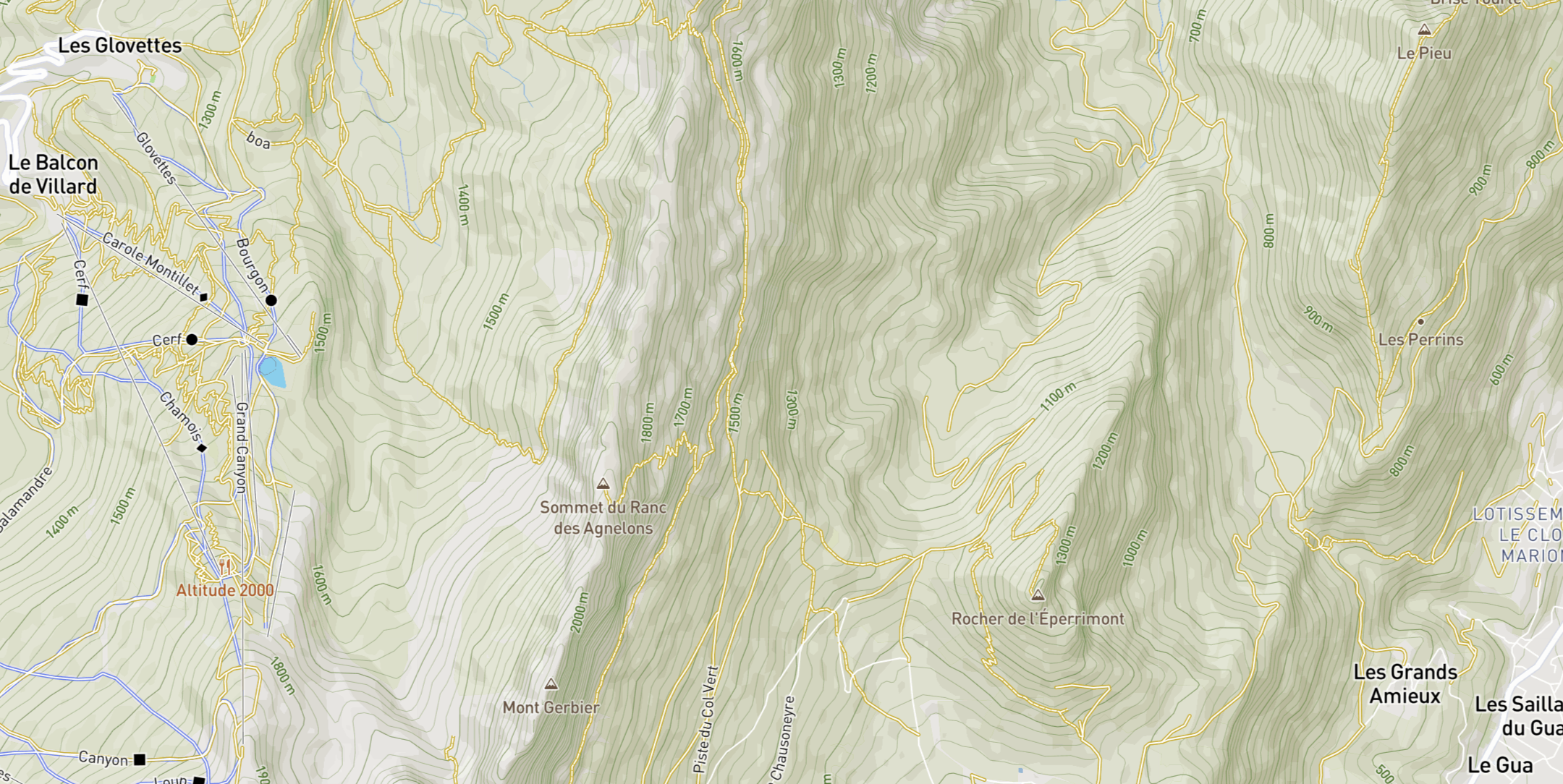
| 12:12, 17 May 2024 | Outdoor sample - Gaia Topo.png (file) |  |
5.02 MB | {{Information | description=A snapshot of the Gaia Topo map in Vercors | source=https://www.gaiagps.com/map/ | date=May 2024 }} | 1 |
| 11:57, 17 May 2024 | Outdoor sample - Thunderforest Outdoors.png (file) |  |
3.99 MB | {{Information | description=A snapshot of the Thunderforest Outdoors map in Vercors | source=https://www.thunderforest.com/maps/outdoors/preview/ | date=May 2024 }} | 1 |
| 11:56, 17 May 2024 | Outdoor sample - LoMaps HikeBike.png (file) |  |
3.86 MB | {{Information | description=A snapshot of the LoMaps HikeBike map in Vercors | source=https://web.locusmap.app/en/?map=hikeBike | date=May 2024 }} | 1 |
| 11:53, 17 May 2024 | Outdoor sample - Wanderreitkarte.png.png (file) |  |
4.39 MB | {{Information | description=A snapshot of the Wanderreitkarte map in Vercors | source=https://www.wanderreitkarte.de/ | date=May 2024 }} | 1 |
| 11:48, 17 May 2024 | Outdoor sample - Mapbox Outdoors.png (file) |  |
3.11 MB | {{Information | description=A snapshot of the Mapbox Outddors map in Vercors | source=https://www.mapbox.com/maps/outdoors | date=May 2024 }} | 1 |
| 11:29, 17 May 2024 | Outdoor sample - OpenSnowMap.png (file) |  |
4.14 MB | {{Information | description=A snapshot of the OpenSnowMap map in Vercors | source=https://www.opensnowmap.org | date=May 2024 }} | 1 |
| 13:30, 6 April 2023 | Amadour.svg (file) |  |
15 KB | {{Information | description=Symbol used on the Chemin d'Amadour hiking route in France | date=2023-04-06 | author=StC }} | 1 |