Uploads by Supaplex
Jump to navigation
Jump to search
This special page shows all uploaded files.
| Date | Name | Thumbnail | Size | Description | Versions |
|---|---|---|---|---|---|
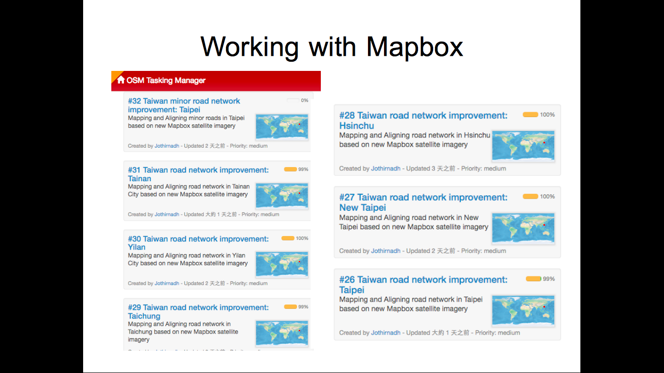
| 08:22, 26 November 2016 | State of the Map Asia Taiwan Working with Mapbox.png (file) |  |
365 KB | My slide for State of the Map Asia, I talk about collaboration with Mapbox. | 1 |
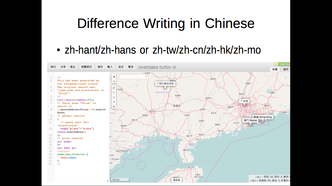
| 08:20, 26 November 2016 | State of the Map Asia Taiwan Different Writing in Chinese.png (file) |  |
362 KB | My slide for State of the Map Asia, I talk about the different Chinese use Taiwan, China, Hong Kong, and Macau. | 1 |
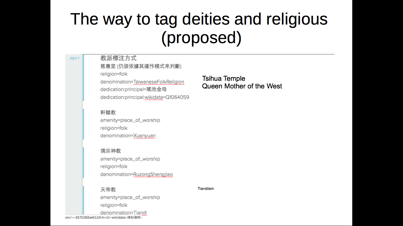
| 06:31, 26 November 2016 | State of the Map Asia Taiwan Deities.png (file) |  |
151 KB | My slide for the State of the Map Asia, I talk about traditional religion and the corresponded deities in Taiwan. | 1 |
| 05:44, 26 November 2016 | State of the Map Asia Taiwan Formosa Language.png (file) |  |
169 KB | My slide for State of the Map Asia, I talk about the language for Taiwan Formosan Language. | 1 |
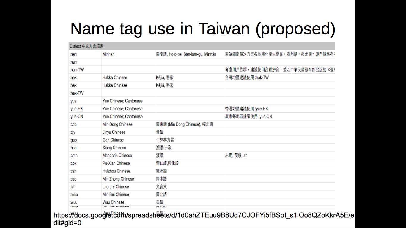
| 05:35, 26 November 2016 | State of the Map Asia Taiwan3 Name Tag in Chinese.png (file) |  |
220 KB | My slide for State of the Map Asia, I talk about the name tag of Chinese related language. | 1 |
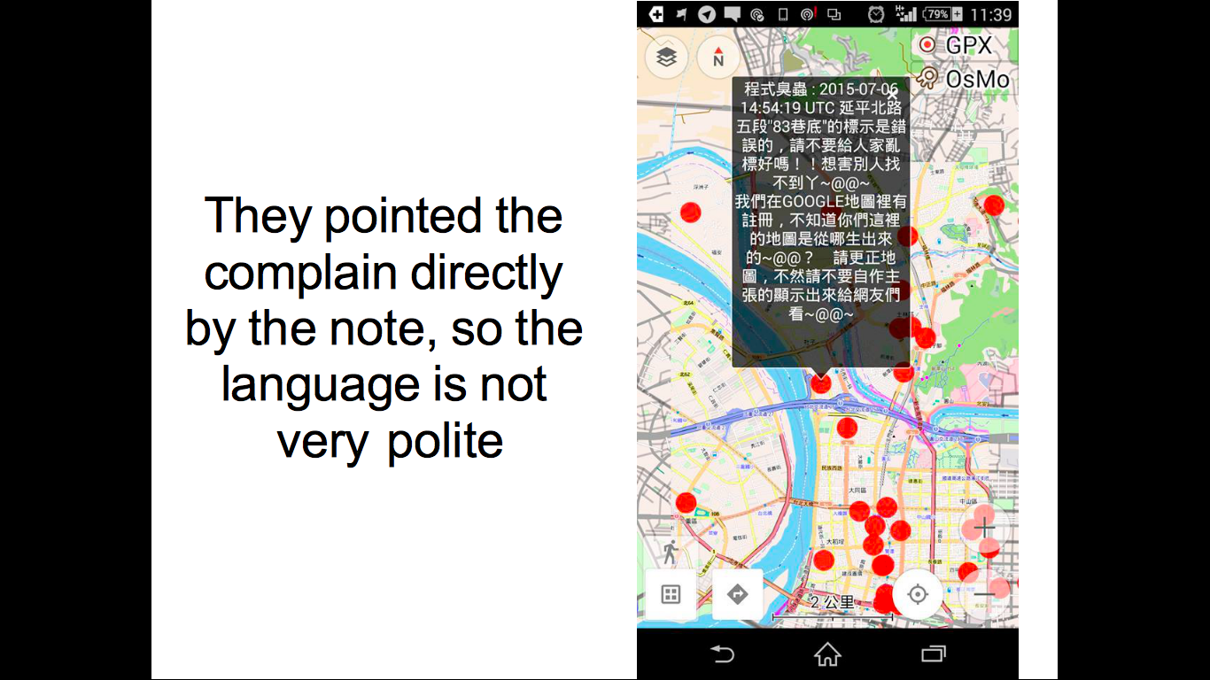
| 05:31, 26 November 2016 | State of the Map Asia Taiwan2 Complain.png (file) |  |
694 KB | My slide for State of the Map Asia, I talk about the complain from Facebook. | 1 |
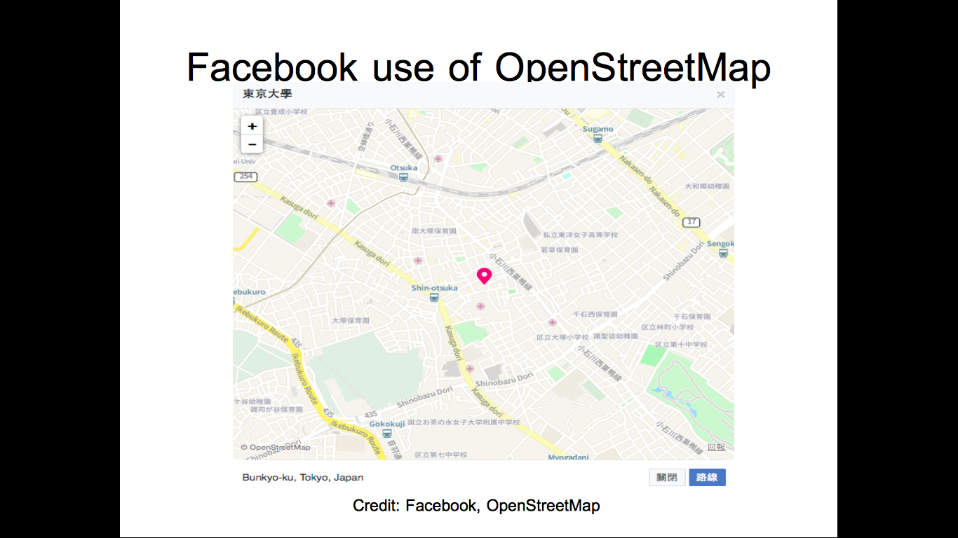
| 05:21, 26 November 2016 | State of the Map Asia Taiwan1 Facebook Landmark page.png (file) |  |
540 KB | My slide for State of the Map Asia, I talk about the Facebook using of OpenStreetMap as basemap. | 1 |
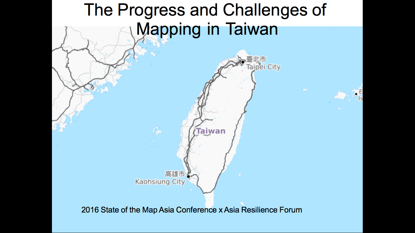
| 05:10, 26 November 2016 | The progress and challenges of mapping in taiwan.odp (file) | 17.19 MB | My slide for the State of the Map Asia, I talk about the mapping situation in Taiwan. | 1 | |
| 05:02, 26 November 2016 | State of the Map Asia Taiwan front.png (file) |  |
223 KB | The front page of my slide for State of the Map Asia, I talk about the mapping situation in Taiwan. | 1 |
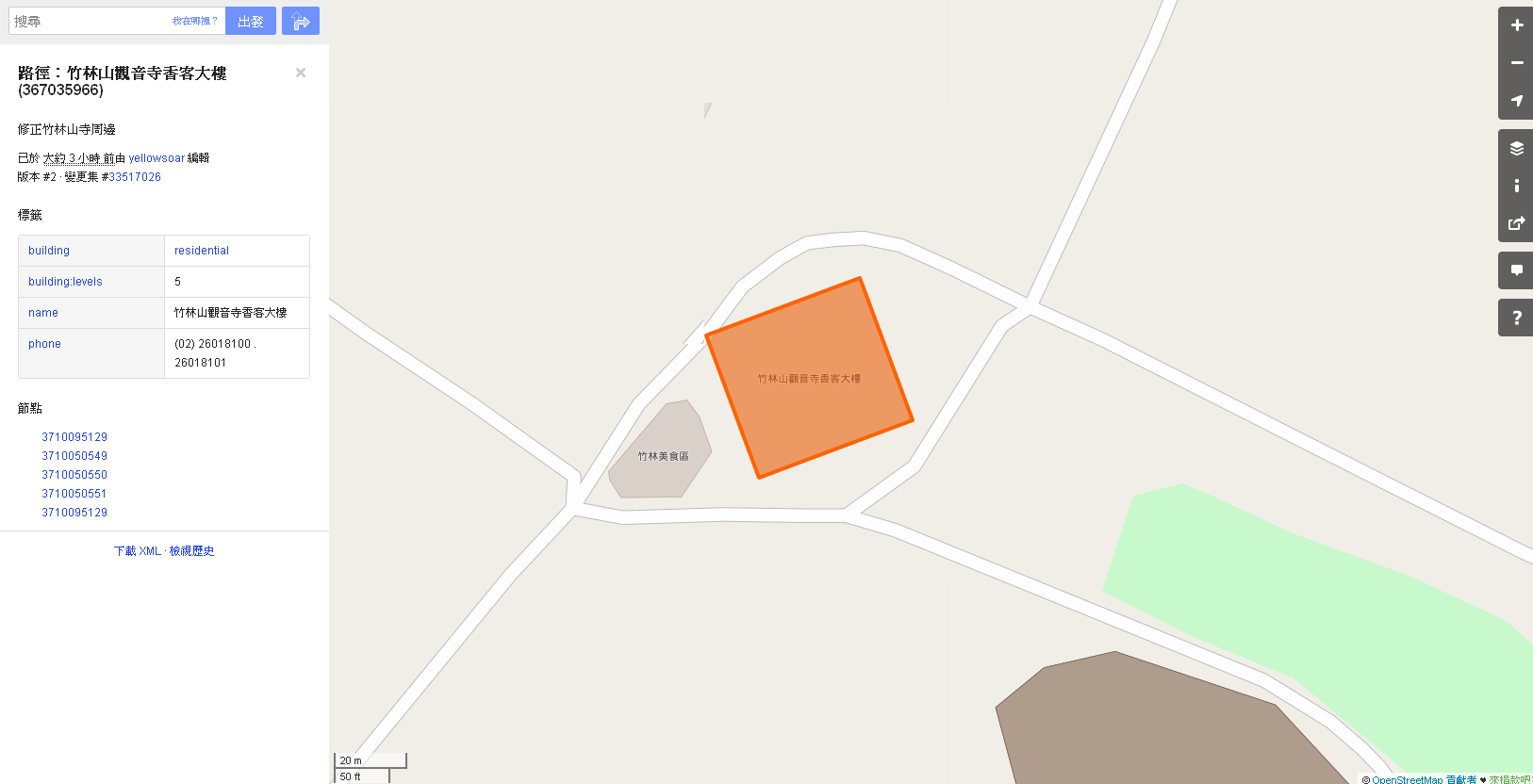
| 09:47, 23 August 2015 | 20150823 000-林口竹林山觀音寺香客大樓.png (file) |  |
89 KB | 林口竹林山觀音寺香客大樓 | 1 |
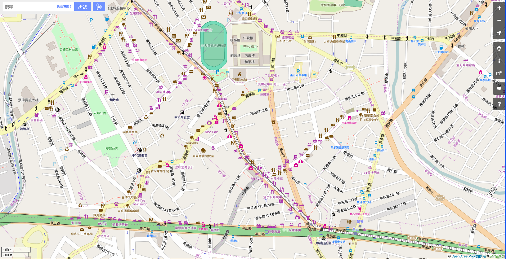
| 09:22, 23 August 2015 | 20150823 000-Zhongho-POI.png (file) |  |
789 KB | 新北市中和一帶POI POI around Zhongho, New Taipei City | 1 |
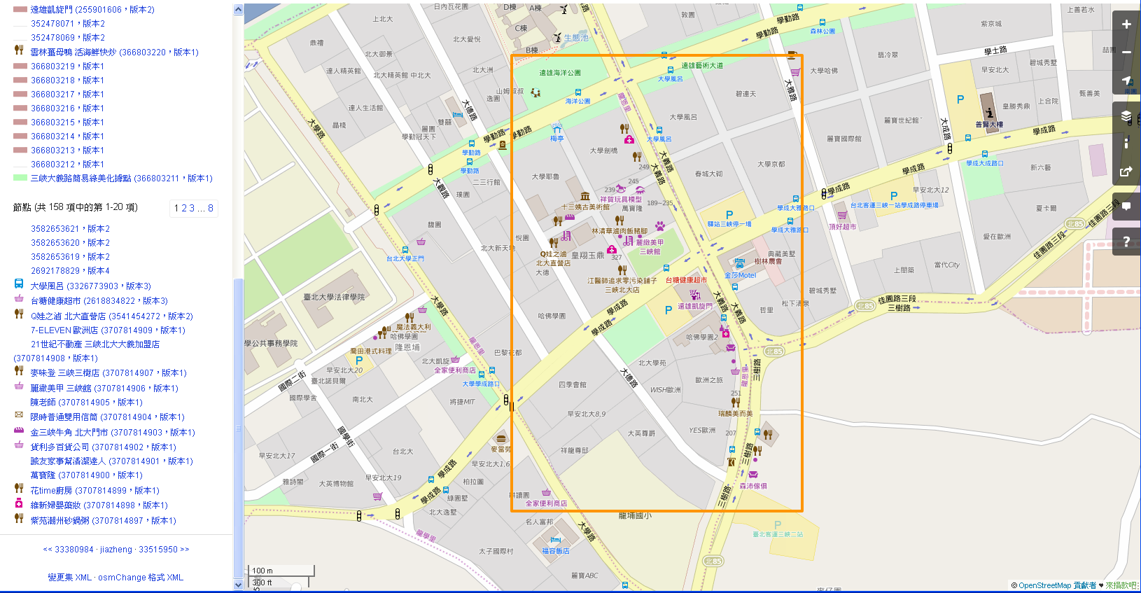
| 04:55, 23 August 2015 | 20150823 000-jazheng.png (file) |  |
495 KB | 北大特區一帶圖客的努力 The map adding POI in Special Area Around National Taipei University. | 1 |
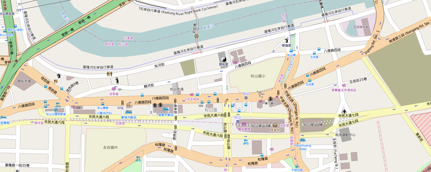
| 06:31, 29 November 2014 | Songshan-Taipei 20141129.png (file) |  |
342 KB | The mapping after the Songshan Metro Line Mapping Party | 1 |
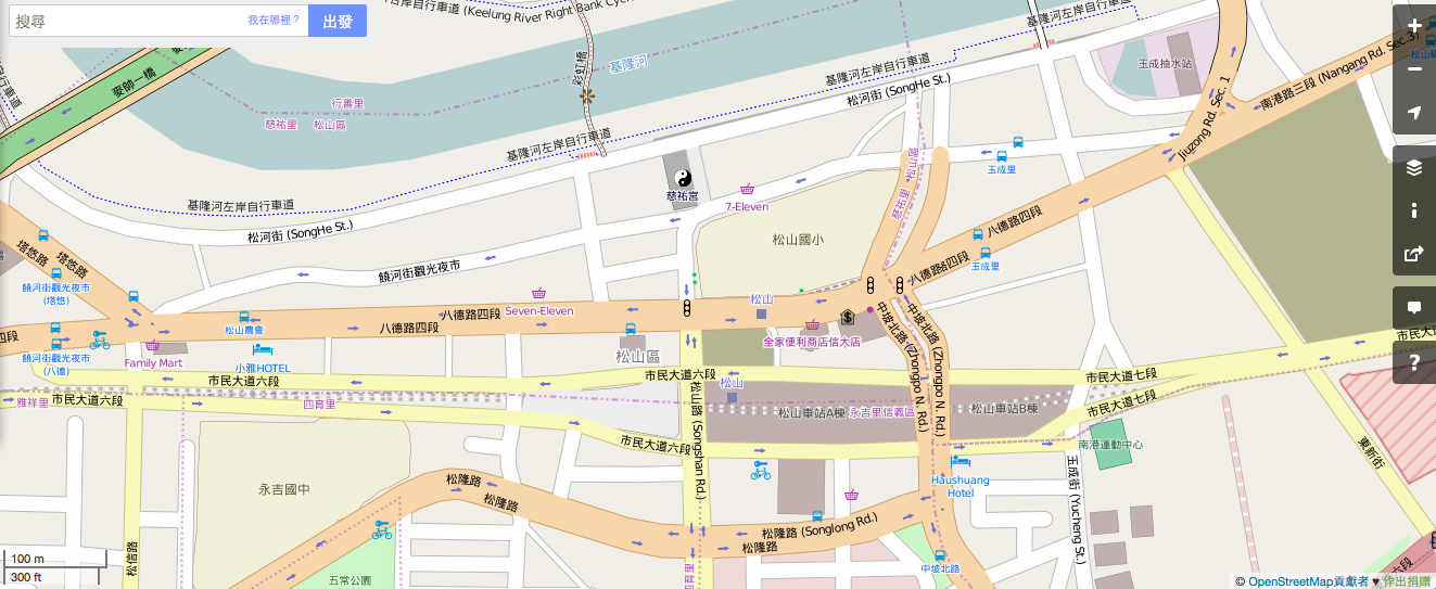
| 14:20, 16 November 2014 | Songshan-Taipei 20141116.png (file) |  |
318 KB | For Songshan, Taipei Mapping Party | 1 |
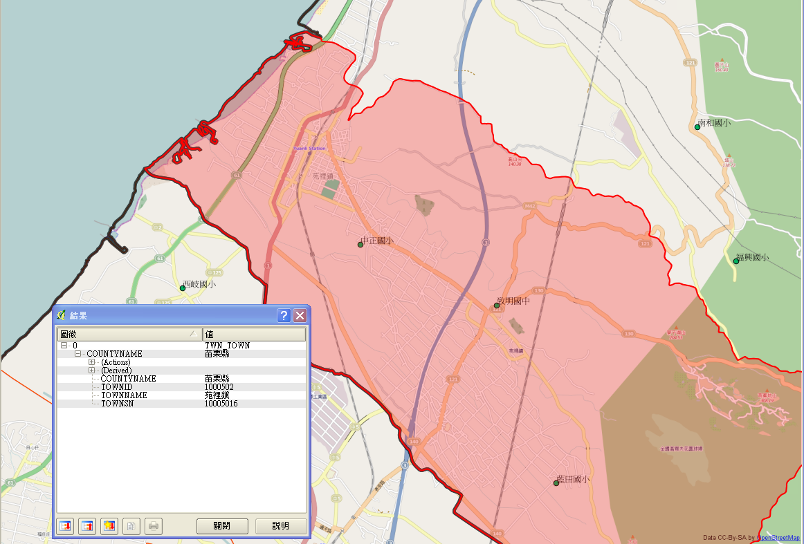
| 03:38, 1 February 2014 | 20140201 000 苑裡鎮.png (file) |  |
481 KB | combine GEOnet_Names_Server POI of school with OpenStreetMap overlay by QGIS Check for school in Yuanli, Maoli with the help of Bing satelite image | 1 |
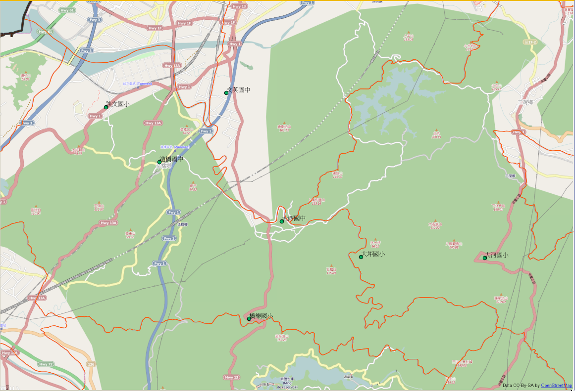
| 03:37, 1 February 2014 | 20140201 000 造橋鄉-三灣鄉.png (file) |  |
491 KB | combine GEOnet_Names_Server POI of school with OpenStreetMap overlay by QGIS Check for school in Sanwang, Saocao, Maoli with the help of Bing satelite image | 1 |
| 03:34, 1 February 2014 | 20140201 000-西湖鄉.png (file) |  |
446 KB | combine GEOnet_Names_Server POI of school with OpenStreetMap overlay by QGIS Check for school in Shihu, Maoli with the help of Bing satelite image | 1 |
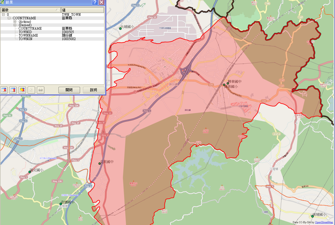
| 03:32, 1 February 2014 | 20140201 000 頭份鎮.png (file) |  |
564 KB | combine GEOnet_Names_Server POI of school with OpenStreetMap overlay by QGIS Check for school in Toufeng, Maoli with the help of Bing satelite image | 1 |
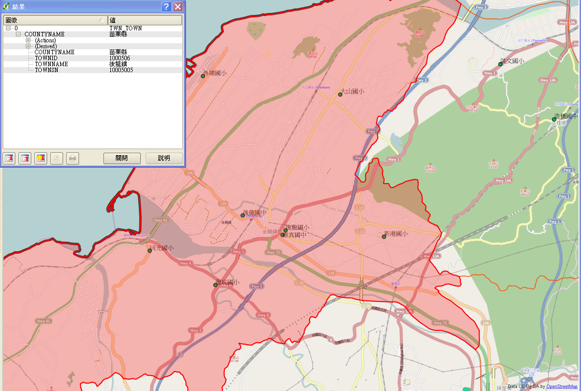
| 03:30, 1 February 2014 | 20140201 000 後龍鎮.png (file) |  |
539 KB | combine GEOnet_Names_Server POI of school with OpenStreetMap overlay by QGIS Check for school in Houlong, Maoli with the help of Bing satelite image | 1 |
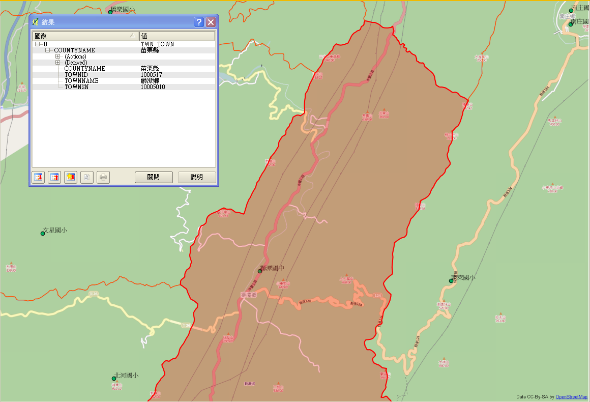
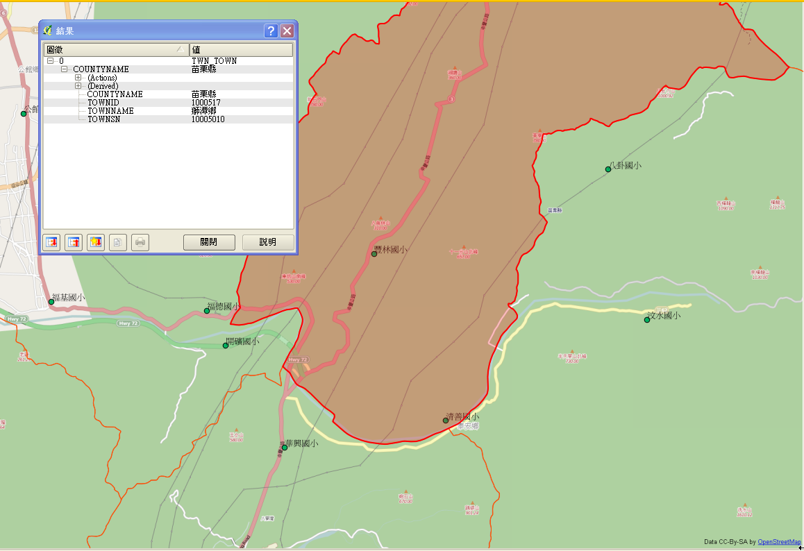
| 03:28, 1 February 2014 | 20140201 000 獅潭鄉2.png (file) |  |
239 KB | combine GEOnet_Names_Server POI of school with OpenStreetMap overlay by QGIS Check for school in Shitan, Maoli with the help of Bing satelite image | 1 |
| 03:27, 1 February 2014 | 20140201 000 獅潭鄉1.png (file) |  |
231 KB | combine GEOnet_Names_Server POI of school with OpenStreetMap overlay by QGIS Check for school in Shitan, Maoli with the help of Bing satelite image | 1 |
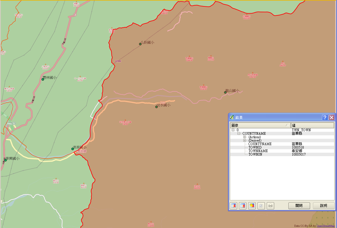
| 03:26, 1 February 2014 | 20140201 000 泰安鄉2.png (file) |  |
198 KB | combine GEOnet_Names_Server POI of school with OpenStreetMap overlay by QGIS Check for school in Taian, Maoli with the help of Bing satelite image | 1 |
| 03:25, 1 February 2014 | 20140201 000 泰安鄉1.png (file) |  |
162 KB | combine GEOnet_Names_Server POI of school with OpenStreetMap overlay by QGIS Check for school in Taian, Maoli with the help of Bing satelite image | 1 |
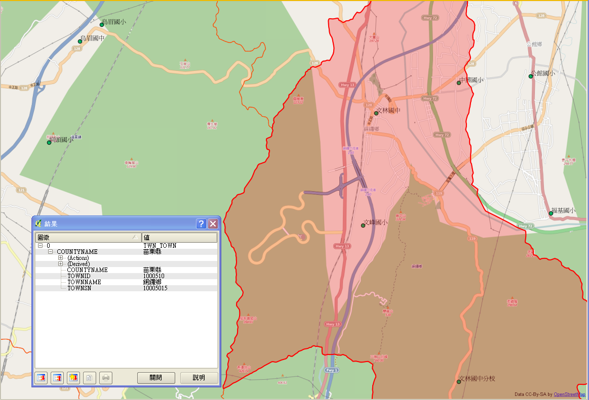
| 03:20, 1 February 2014 | 20140201 000 銅鑼鄉.png (file) |  |
372 KB | combine GEOnet_Names_Server POI of school with OpenStreetMap overlay by QGIS Check for school in Tonglou, Maoli with the help of Bing satelite image | 1 |
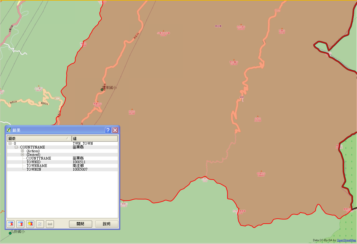
| 03:17, 1 February 2014 | 20140201 000 南庄鄉2.png (file) |  |
140 KB | combine GEOnet_Names_Server POI of school with OpenStreetMap overlay by QGIS Check for school in Nanzhoung, Maoli with the help of Bing satelite image | 1 |
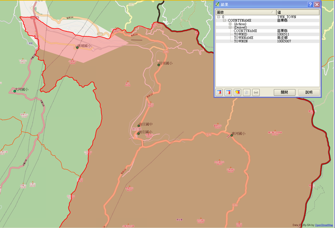
| 03:16, 1 February 2014 | 20140201 000 南庄鄉1.png (file) |  |
255 KB | combine GEOnet_Names_Server POI of school with OpenStreetMap overlay by QGIS Check for school in Nanzhoung, Maoli with the help of Bing satelite image | 1 |
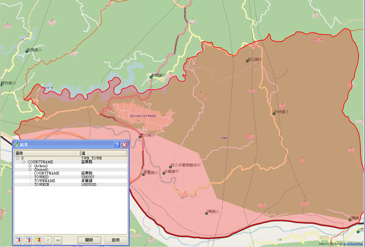
| 03:13, 1 February 2014 | 20140201 000 卓蘭鎮.png (file) |  |
346 KB | combine GEOnet_Names_Server POI of school with OpenStreetMap overlay by QGIS Check for school in Zhouglan, Maoli with the help of Bing satelite image | 1 |
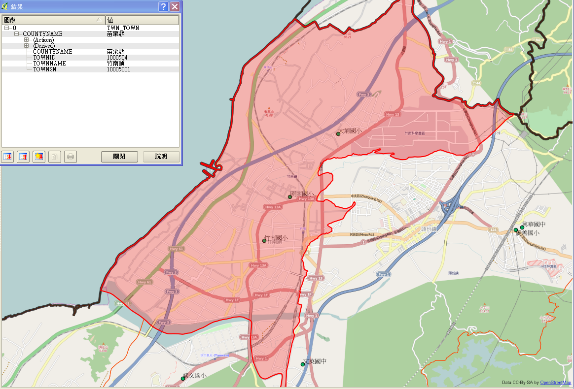
| 03:11, 1 February 2014 | 20140201 000 竹南鎮.png (file) |  |
583 KB | ombine GEOnet_Names_Server POI of school with OpenStreetMap overlay by QGIS Check for school in Zhounan, Maoli with the help of Bing satelite image | 1 |
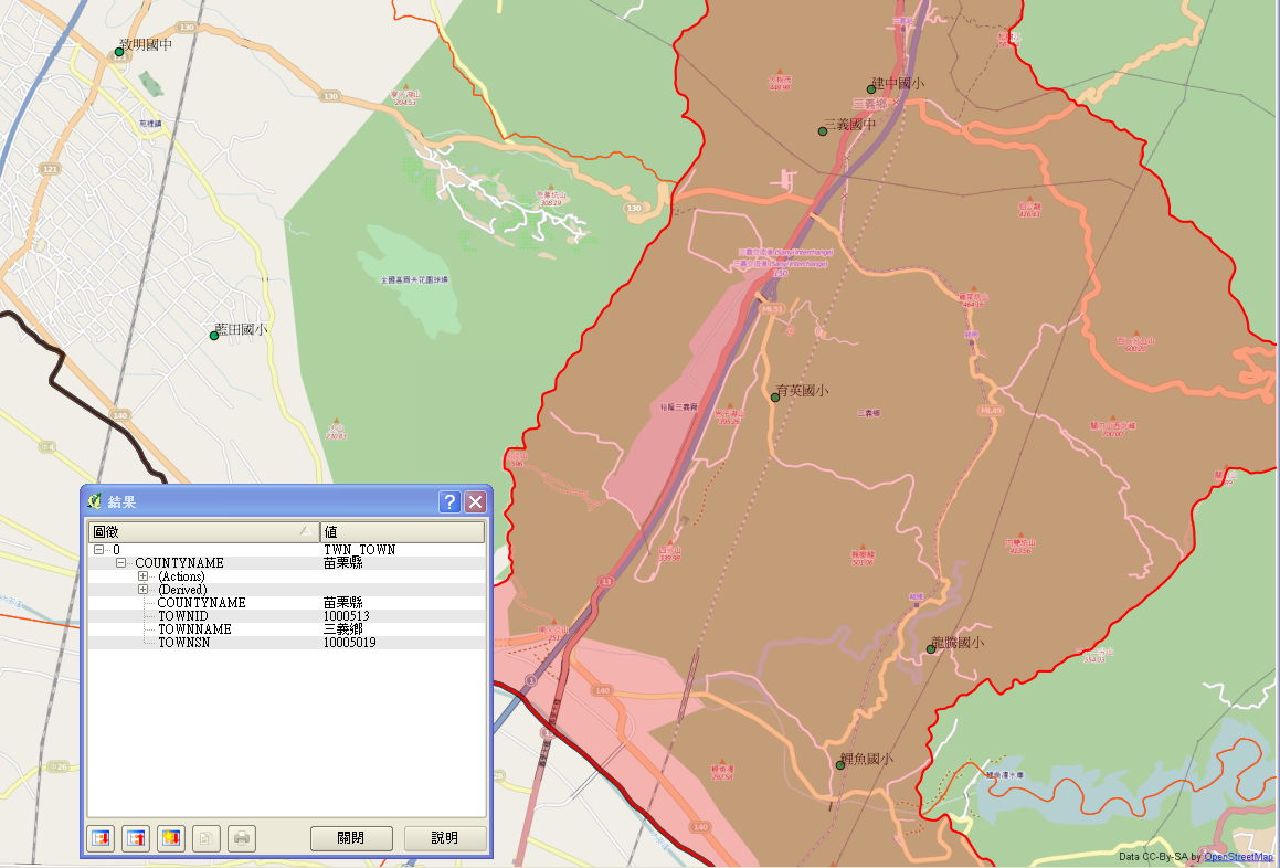
| 03:09, 1 February 2014 | 20140201 000 三義鄉.png (file) |  |
430 KB | combine GEOnet_Names_Server POI of school with OpenStreetMap overlay by QGIS Check for school in Sanyi, Maoli with the help of Bing satelite image | 1 |
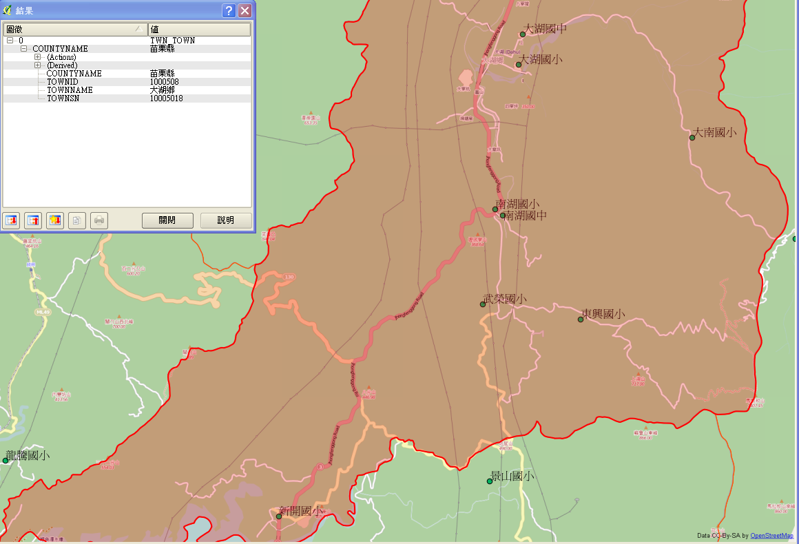
| 03:05, 1 February 2014 | 20140131 000 苗栗大湖.png (file) |  |
284 KB | more school is covered | 2 |
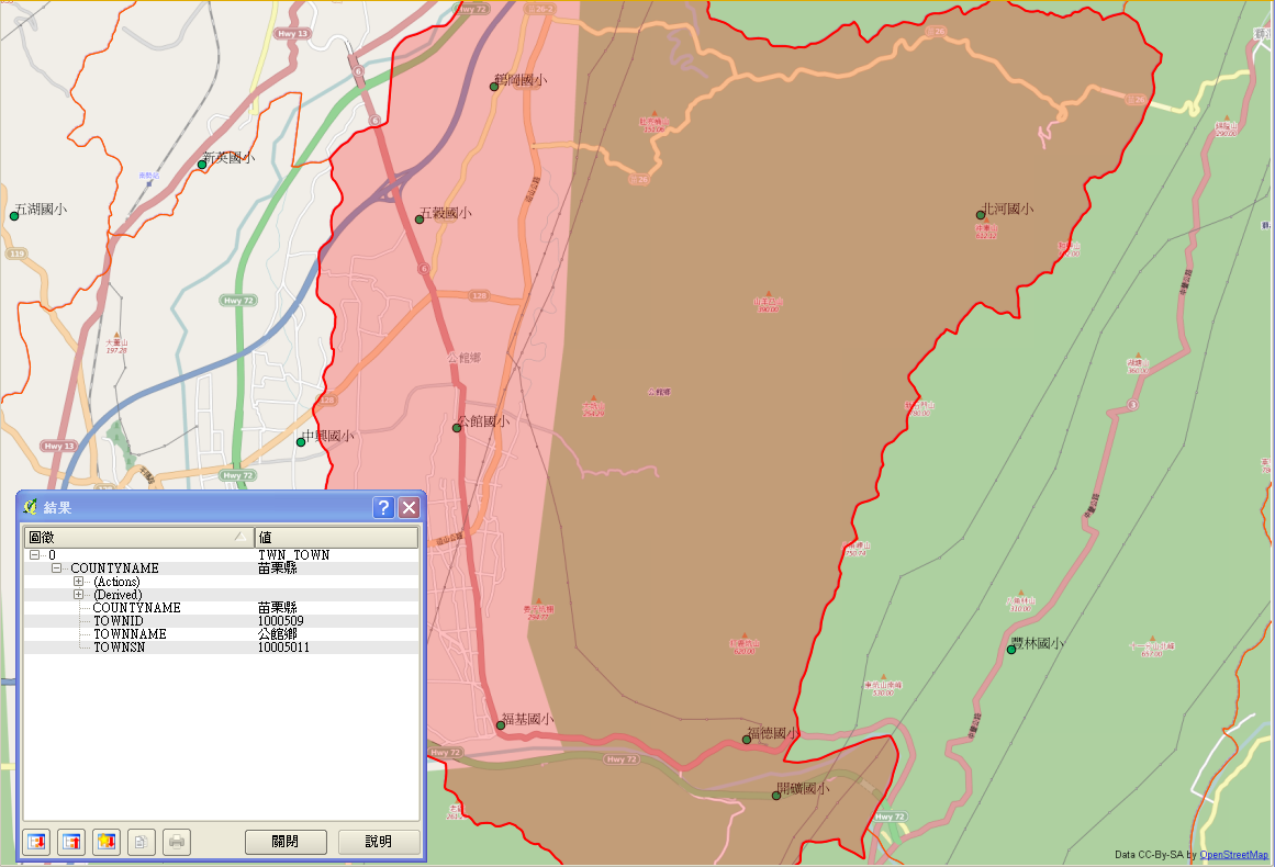
| 02:57, 1 February 2014 | 20140201 000 公館鄉.png (file) |  |
357 KB | combine GEOnet_Names_Server POI of school with OpenStreetMap overlay by QGIS Check for school in Gongguan, Maoli with the help of Bing satelite image | 1 |
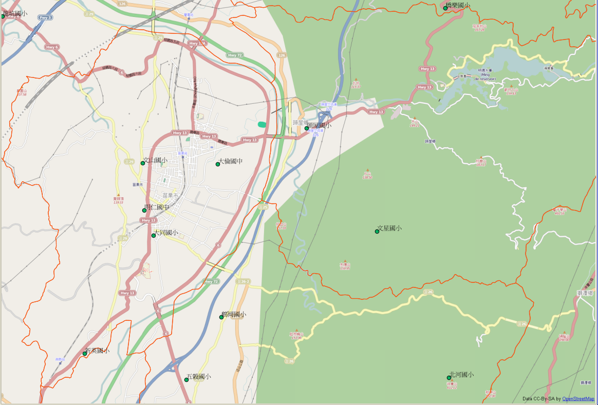
| 02:51, 1 February 2014 | 20140201 000 頭屋鄉-苗栗市.png (file) |  |
475 KB | combine GEOnet_Names_Server POI of school with OpenStreetMap overlay by QGIS Check for school in these area with the help of Bing satelite image | 1 |
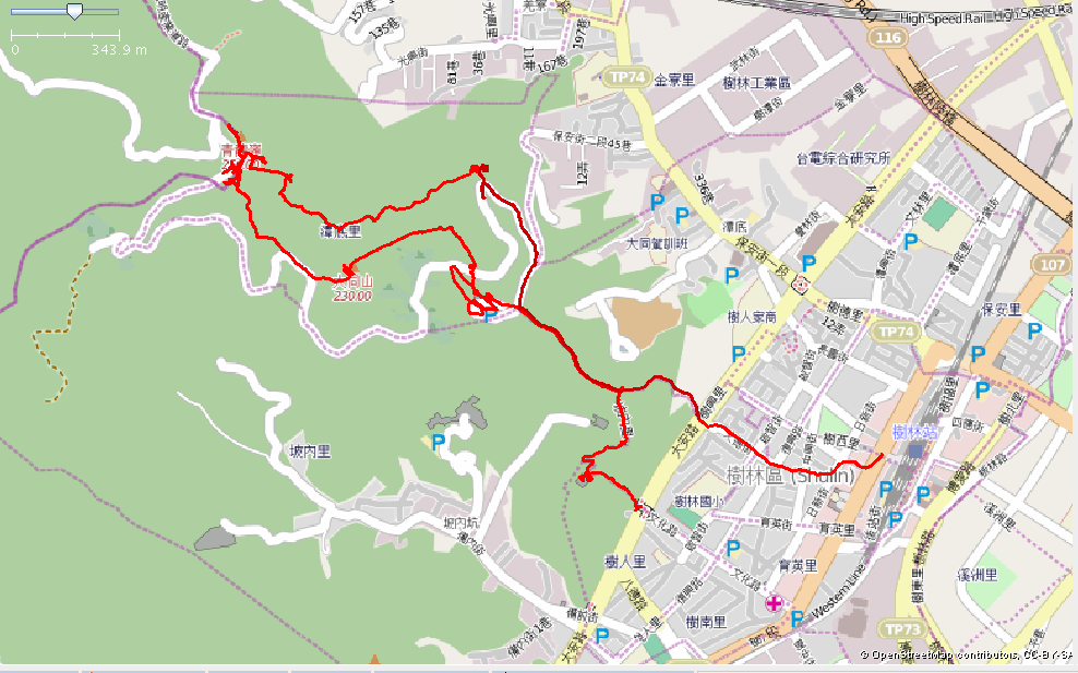
| 07:41, 18 January 2014 | 樹林登山步道成果2014-01-18 15.40.04.png (file) |  |
292 KB | 樹林大同山、青龍嶺登山路徑,GPS套疊 | 1 |
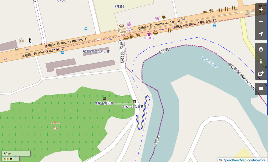
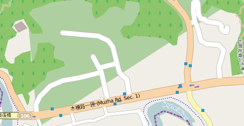
| 13:42, 11 November 2013 | Examination-yuan-and-temple-20131111.png (file) |  |
151 KB | 2013/11/10 考試院Mapping Party後,將考試院第二試務大樓,木柵路一段商店,以及土地公廟加上去 | 1 |
| 13:40, 11 November 2013 | Lane-of-Shiyuan-road.png (file) |  |
125 KB | 2013/11/11 考試院Mapping Party,新增試院路雙號上巷子 | 1 |
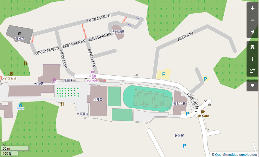
| 13:38, 11 November 2013 | Shu-campus-20131110.png (file) |  |
106 KB | 2013/11/10 考試院 Mapping Party後,世新大學的校園就畫完了 | 1 |
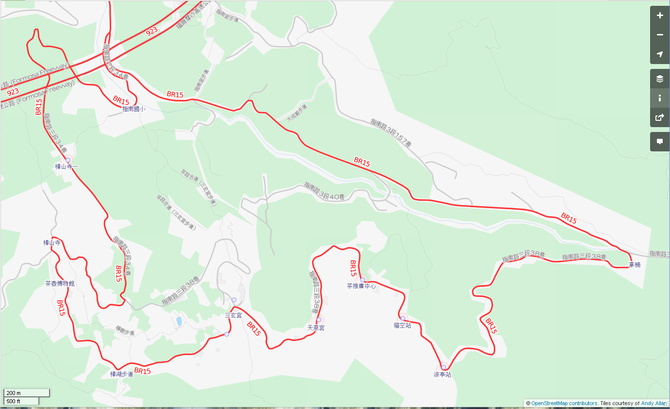
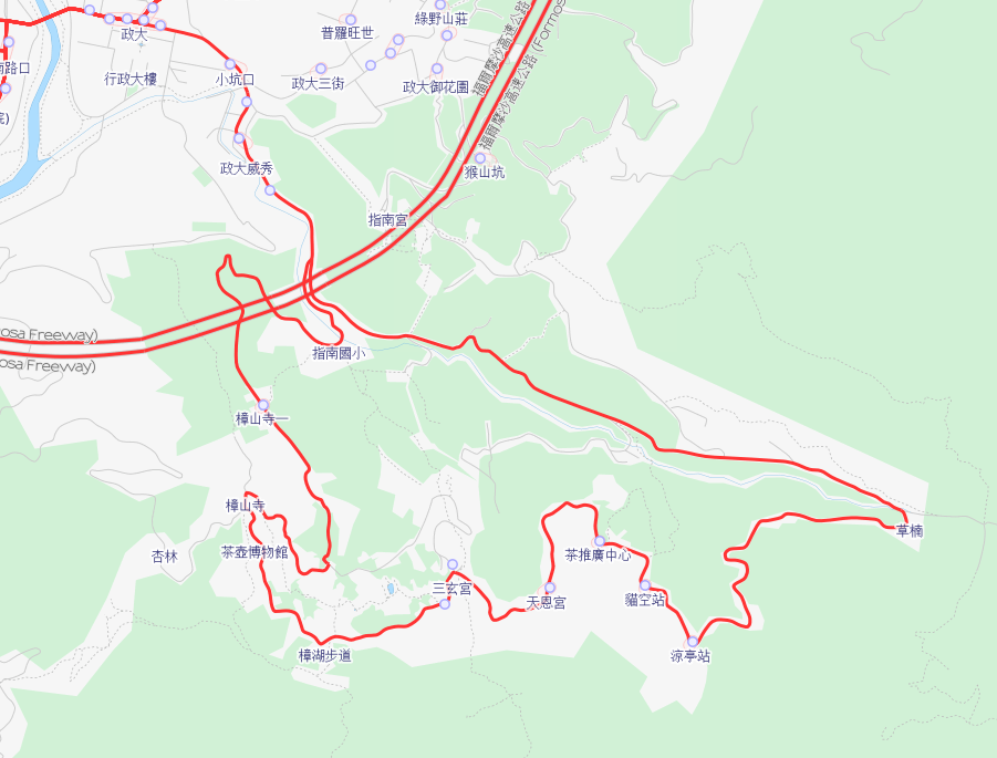
| 16:48, 22 October 2013 | 貓空地區棕15 20131022-2.png (file) |  |
269 KB | 1 | |
| 16:31, 22 October 2013 | 貓空地區棕15 20131022.png (file) |  |
168 KB | 1 | |
| 10:43, 15 October 2013 | Examination-Yuan-20131015 .png (file) |  |
30 KB | 1 | |
| 03:27, 8 September 2013 | Chongqing South Road 20130908.png (file) |  |
92 KB | 重慶南路書店街Mapping Party成果 | 1 |
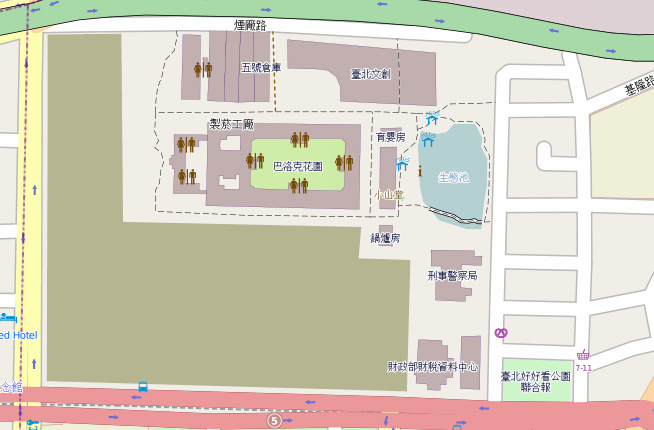
| 15:43, 8 July 2013 | Songshan Cultural Park 20130708.png (file) |  |
53 KB | 2013/7/8 Songshan Cultural and Creative Park 松山文創園區 | 1 |
| 05:08, 6 July 2013 | Songshan cultural park20130706.png (file) |  |
116 KB | 1 | |
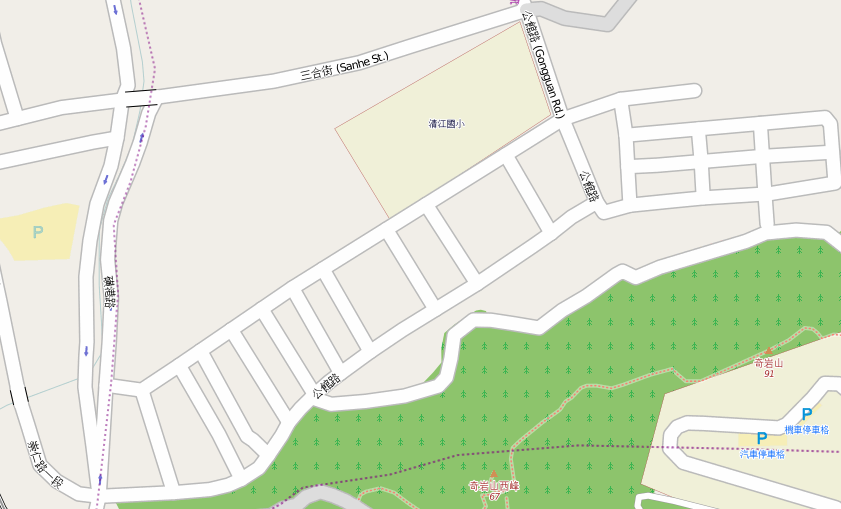
| 14:19, 3 June 2013 | Qiyan 20130603.png (file) |  |
100 KB | 20130603奇岩OpenStreetMap地圖 | 1 |
| 14:23, 19 May 2013 | Tainan-alley.png (file) |  |
120 KB | Snapshot of alley of Tainan Taiwan. | 1 |
| 16:56, 26 April 2013 | 國教院20130426.png (file) |  |
113 KB | 2013年4月26日,國教院Mapping Party後的成果 | 1 |
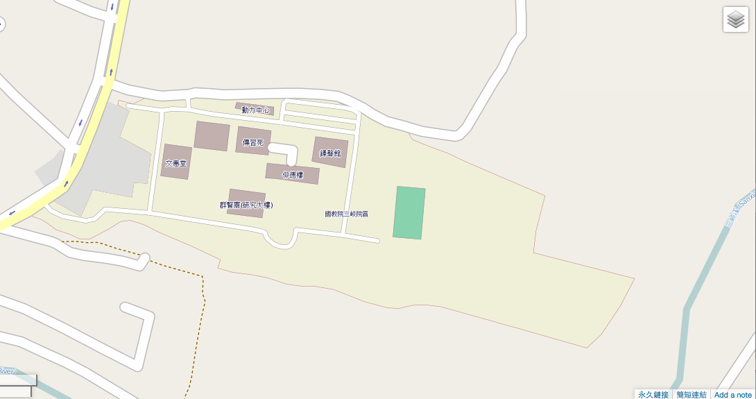
| 16:07, 26 April 2013 | 國教院20130422.png (file) |  |
157 KB | 國教院三峽院區20130422 | 1 |
| 17:37, 29 March 2013 | Lizhangli20130330.png (file) |  |
68 KB | Map of Lizhangli, Taipei in 3/30/2013 | 1 |
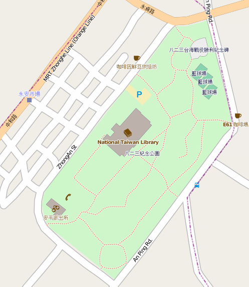
| 17:33, 29 March 2013 | Chungho20130330.png (file) |  |
100 KB | The map after the 823 Memorial Park Mapping Party in 3/23/2013. | 1 |
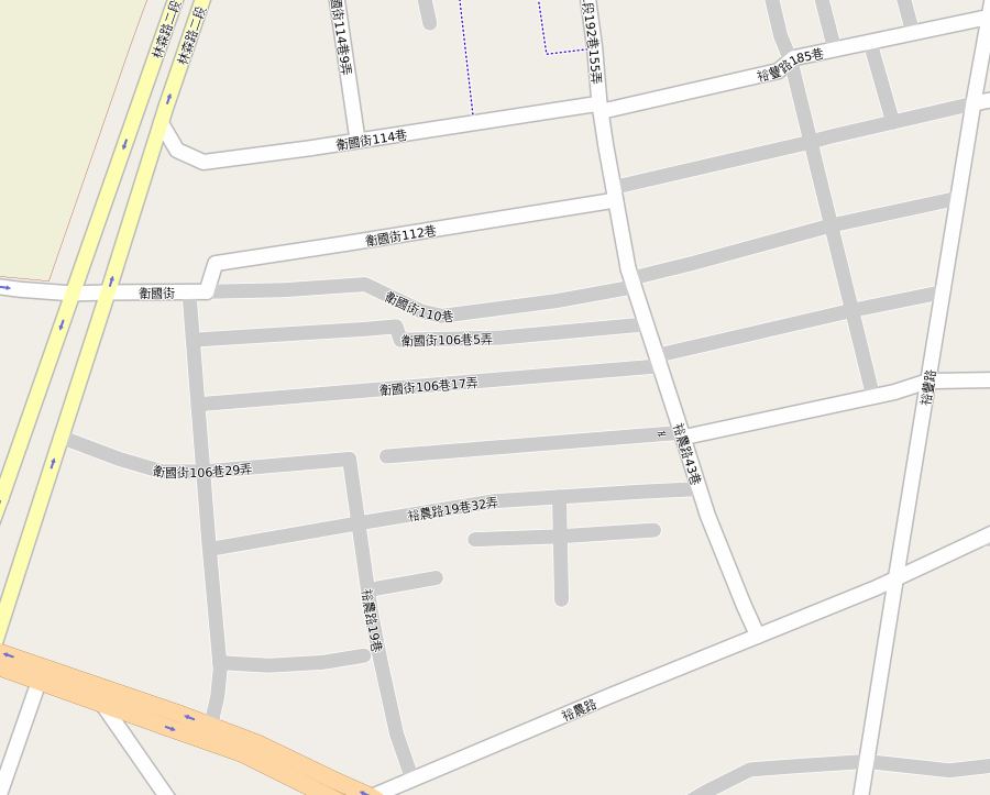
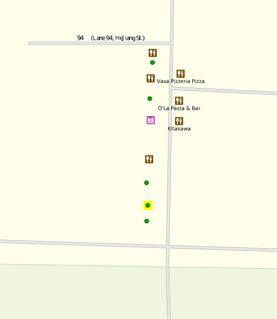
| 18:27, 6 March 2013 | National Taipei University HerJiang Branch.png (file) |  |
15 KB | 台北大學合江街校區北邊的影印店及其他商家 | 1 |
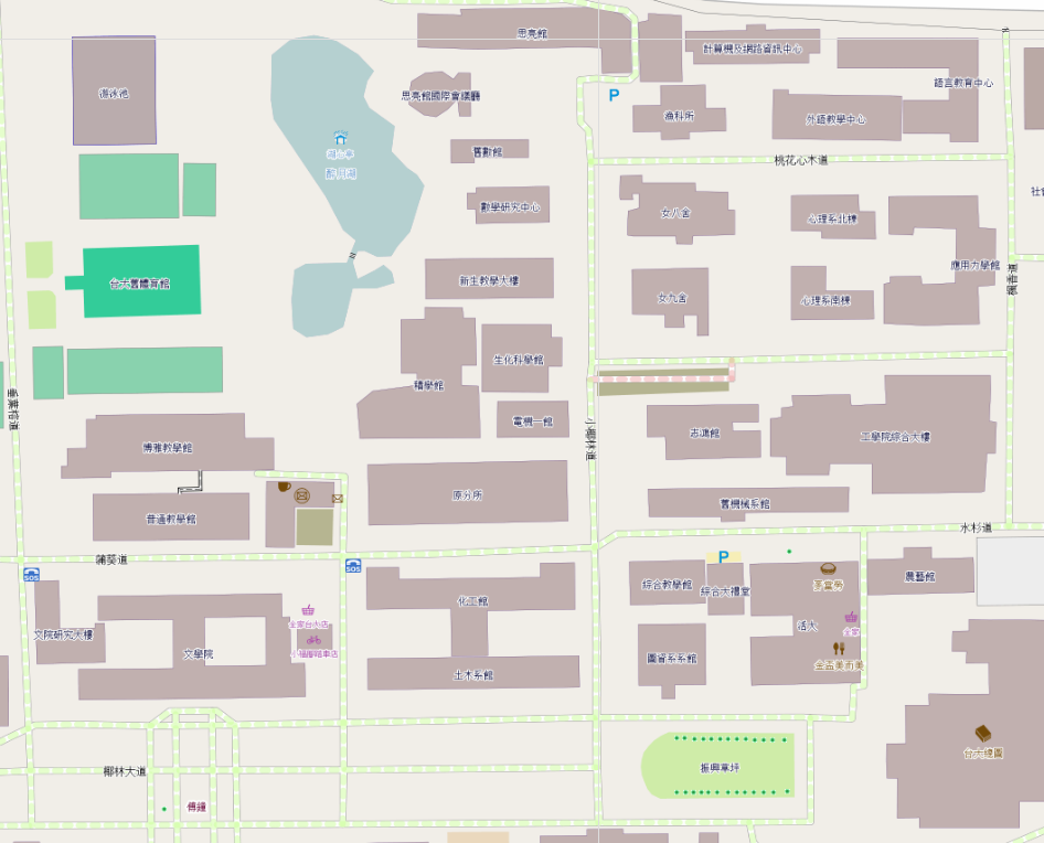
| 15:26, 6 March 2013 | OSM Map of NTU.png (file) |  |
236 KB | More accurate map of NTU | 2 |