Uploads by Yogi ks
Jump to navigation
Jump to search
This special page shows all uploaded files.
| Date | Name | Thumbnail | Size | Description | Versions |
|---|---|---|---|---|---|
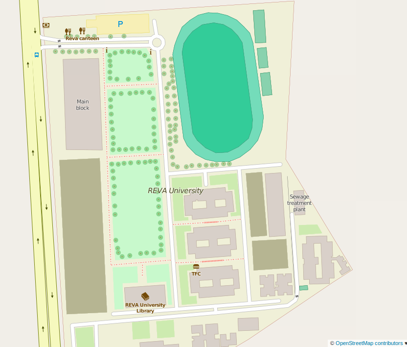
| 05:55, 15 December 2015 | Reva after.png (file) |  |
131 KB | Reva university bengaluru after mapping party | 1 |
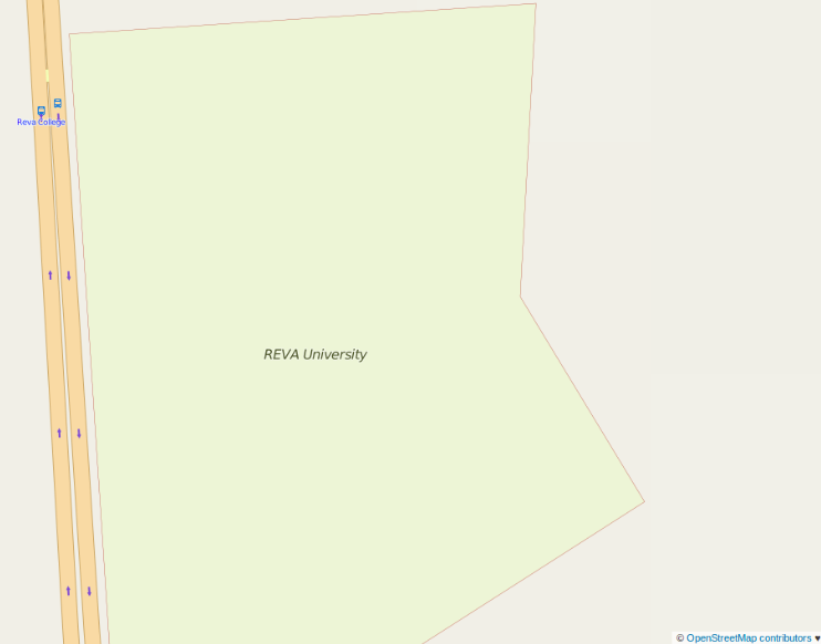
| 05:55, 15 December 2015 | Reva before.png (file) |  |
32 KB | Reva university bengaluru before mapping party | 1 |
| 17:37, 29 May 2015 | Karnataka 2007 to 2014.gif (file) |  |
345 KB | A simple animated GIF created using Mapolution with fully history extract of India showing the evolution of OpenStreetMap(only roads) in Karnataka state of India. | 5 |
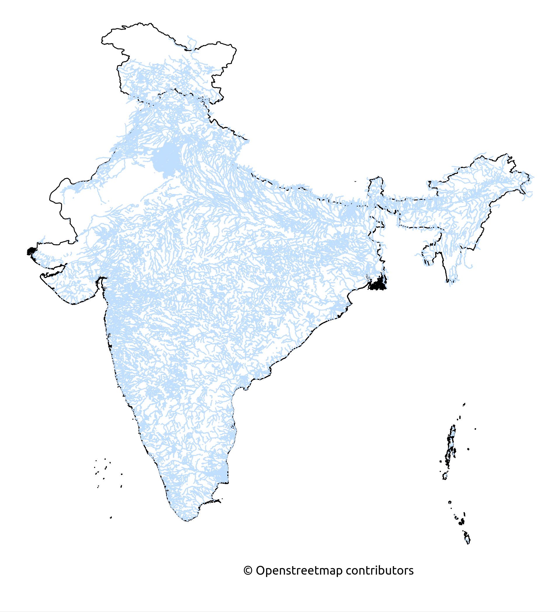
| 11:54, 3 March 2015 | Rivers and its tributaries in India.png (file) |  |
819 KB | Rivers and its tributaries mapped in Openstreetmap until 3rd March 2015. | 1 |
| 11:51, 3 March 2015 | Reserviors and Ponds in India.png (file) |  |
671 KB | Map shows the water bodies mapped as ponds and reserviors. Made from Openstreetmap data as on 3rd March 2015. | 1 |
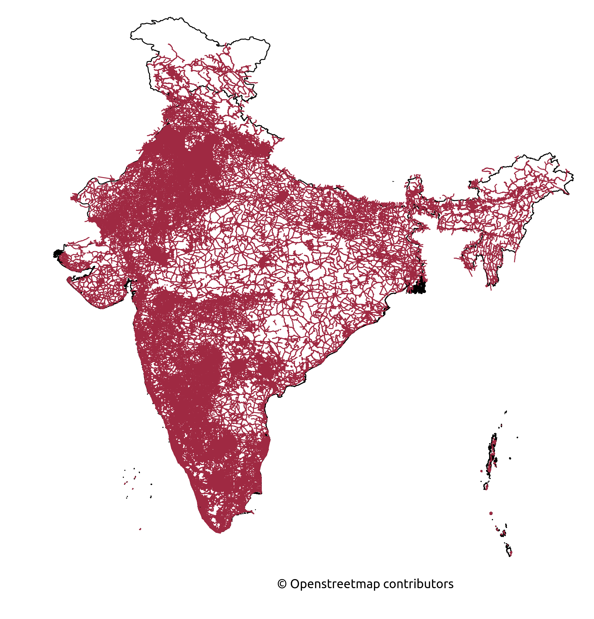
| 11:48, 3 March 2015 | Roads India.png (file) |  |
981 KB | Map shows the Roads mapped until 3rd March 2015. | 1 |
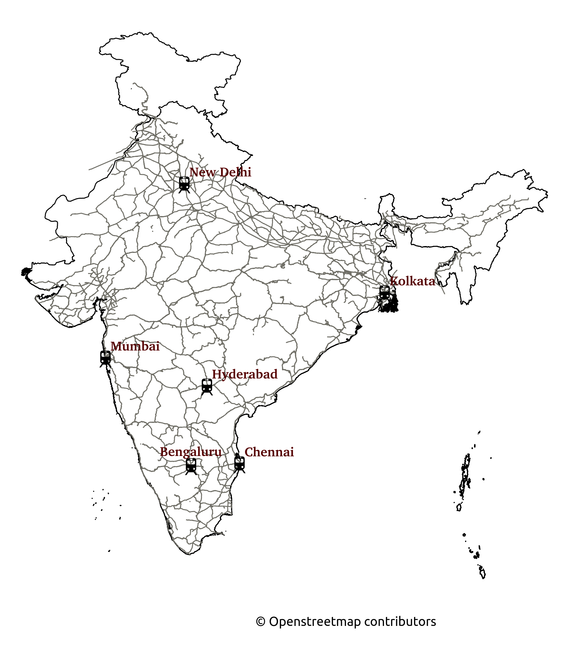
| 11:11, 3 March 2015 | Railways in India.png (file) |  |
602 KB | Map shows the Rail connectivity in India. Made from Openstreetmap data as on 3rd March 2015 | 1 |
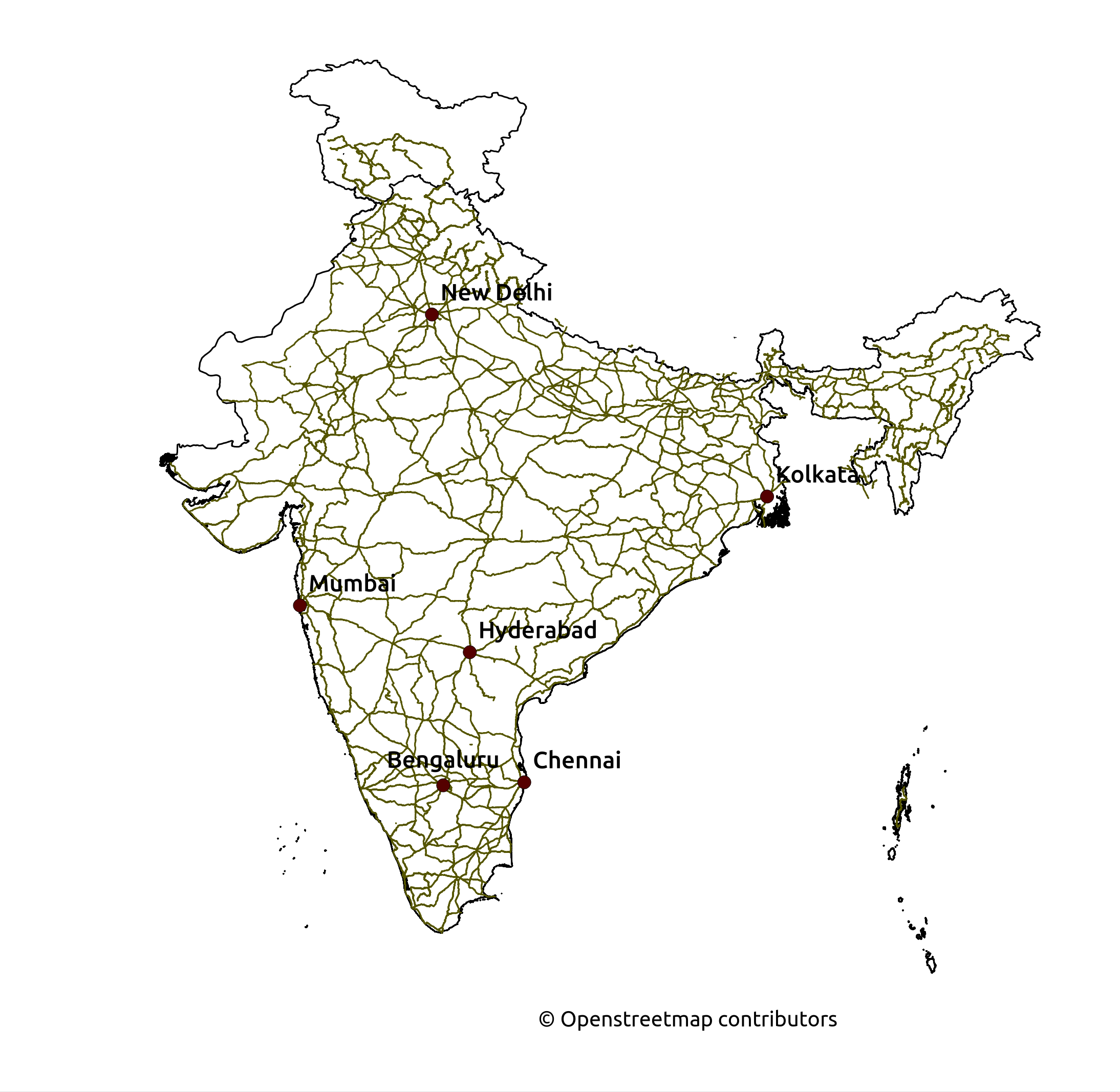
| 11:09, 3 March 2015 | National Highways India.png (file) |  |
584 KB | National Highways mapped in India with tags highway=trunk* and ref=NH as on 3rd March 2015. | 1 |
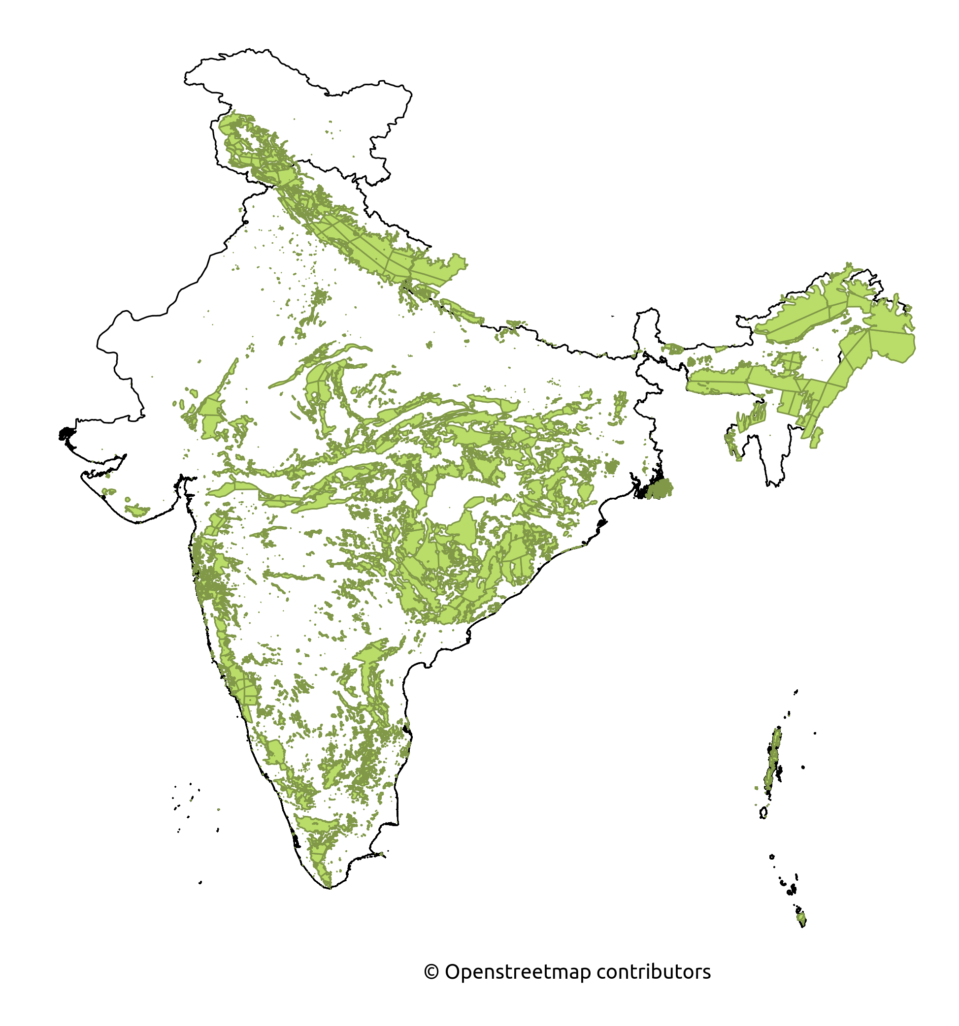
| 11:05, 3 March 2015 | Forest Cover in India.png (file) |  |
728 KB | Forest cover map made from Openstreetmap data as on 3rd March 2015. | 1 |
| 11:04, 3 March 2015 | Waterways India.png (file) |  |
751 KB | Waterways map from Indian Openstreetmap data as on 3rd March 2015. | 1 |
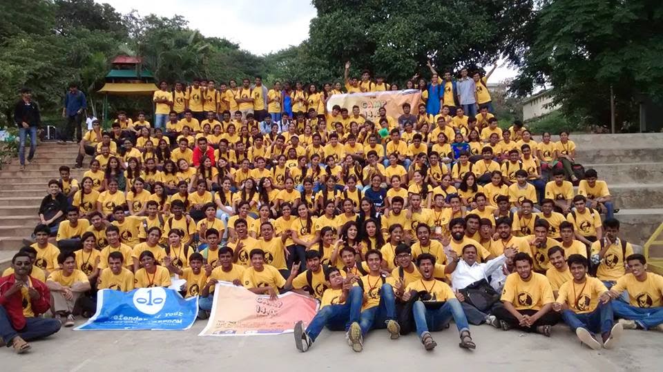
| 04:56, 27 August 2014 | Fsmkgps.jpg (file) |  |
1.22 MB | 1 | |
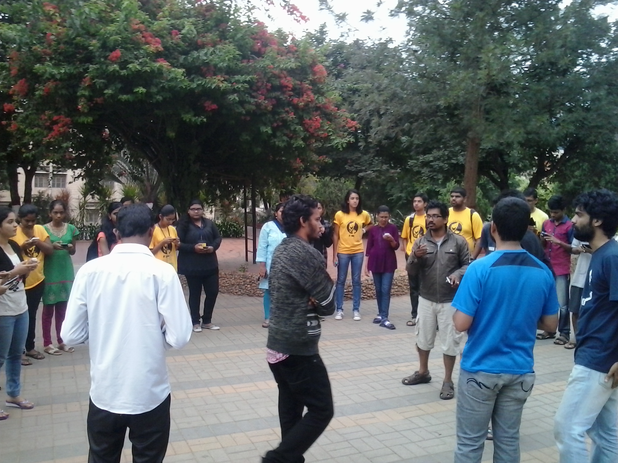
| 08:22, 20 August 2014 | Fsmkcamp2014.jpg (file) |  |
142 KB | 1 | |
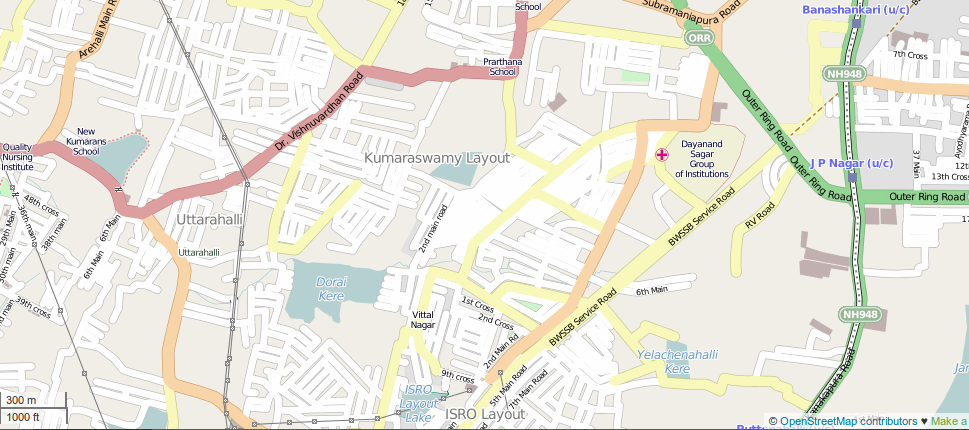
| 20:09, 22 July 2014 | Bangalore.png (file) |  |
283 KB | Kumarswamy Layout, Bangalore | 1 |