Talk:State of the Map 2008
(Redirected from Talk:State Of The Map 2008)
Discuss State Of The Map 2008 page here:
- Note previous content was moved to State Of The Map 2008/organisation
- Older previous content was moved to State Of The Map 2008/Proposed Venues
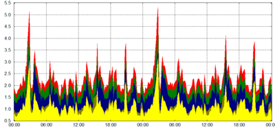
DOP image

Someone uploaded this image, but no links to it. Does it relate to one of the talks?
--Harry Wood 04:12, 14 March 2011 (UTC)