File:Chipnseal.jpg
Jump to navigation
Jump to search

Size of this preview: 800 × 600 pixels. Other resolutions: 320 × 240 pixels | 640 × 480 pixels | 816 × 612 pixels.
Original file (816 × 612 pixels, file size: 265 KB, MIME type: image/jpeg)
This file and its description are from Wikimedia Commons.
Summary
| Description |
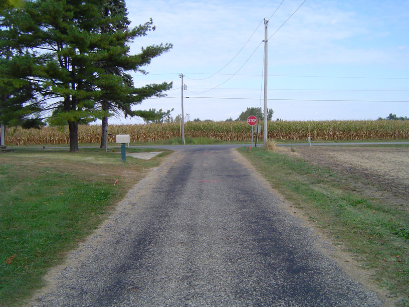
English: Example of a chip 'n' seal paved road |
| Date | |
| Source | Own work |
| Author | Bengrimm99 |
| Camera location | | View this and other nearby images on: OpenStreetMap |
|---|
Licensing
| I, the copyright holder of this work, release this work into the public domain. This applies worldwide. In some countries this may not be legally possible; if so: I grant anyone the right to use this work for any purpose, without any conditions, unless such conditions are required by law. |
File history
Click on a date/time to view the file as it appeared at that time.
| Date/Time | Thumbnail | Dimensions | User | Comment | |
|---|---|---|---|---|---|
| current | 18:18, 9 October 2008 | | 816 × 612 (265 KB) | wikimediacommons>Bengrimm99 | {{Information |Description={{en|1=Example of a chip 'n' seal paved road}} |Source=Own work by uploader |Author=Bengrimm99 |Date=October 9, 2008 |Permission= |other_versions= }} {{Coor dms|40|16|19.2|N|86|12|45.1|W}} {{Location|40|16|19 |
File usage
The following 36 pages use this file:
- Cs:Key:surface
- Da:Key:surface
- El:Key:surface
- Fi:Key:surface
- Hu:Key:surface
- Key:surface
- Pl:Key:surface
- Tag:surface=chipseal
- Uk:Key:surface
- Zh-hans:Key:surface
- User:H4ck3rm1k3/OSMKeys
- User:Haribo/Surfaces
- User:John07/wegbeschaffenheit/en
- Template:Az:Map Features:surface
- Template:Cs:Map Features:surface
- Template:DE:Map Features:surface
- Template:Da:Map Features:surface
- Template:FR:Map Features:surface
- Template:Generic:ES:Map Features:surface
- Template:Hu:Map Features:surface
- Template:IT:Map Features:surface
- Template:JA:Map Features:surface
- Template:Map Features:surface
- Template:Pl:Map Features:surface
- Template:RU:Map Features:surface
- Template:Uk:Map Features:surface
- Template:Zh-hans:Map Features:surface
- DE:Key:surface
- DE:Tag:surface=chipseal
- FR:Key:surface
- ES:Tag:surface=chipseal
- IT:Key:surface
- RU:Key:surface
- RU:Tag:surface=chipseal
- RU:Объекты карты
- JA:Key:surface