File:Flag of Slovenia.svg
Jump to navigation
Jump to search


Size of this PNG preview of this SVG file: 800 × 400 pixels. Other resolutions: 320 × 160 pixels | 640 × 320 pixels | 1,024 × 512 pixels | 1,280 × 640 pixels.
Original file (SVG file, nominally 1,200 × 600 pixels, file size: 2 KB)
This file and its description are from Wikimedia Commons.
Summary
| Description |
Català: Bandera d'Eslovènia.
Čeština: Slovinská vlajka.
Español: Bandera de Eslovenia.
Deutsch: Die Flagge Sloweniens.
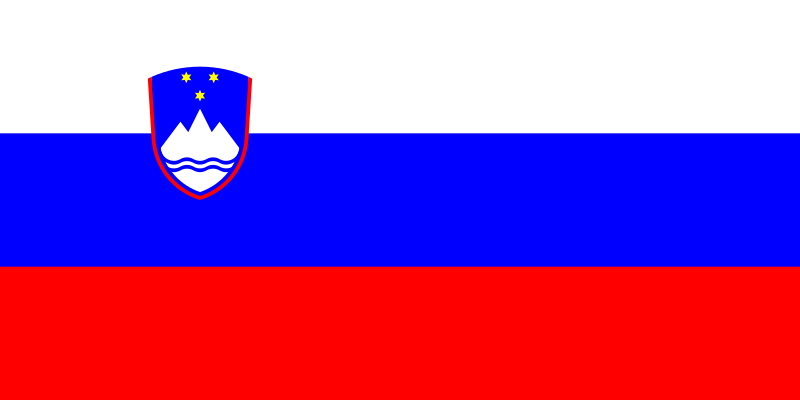
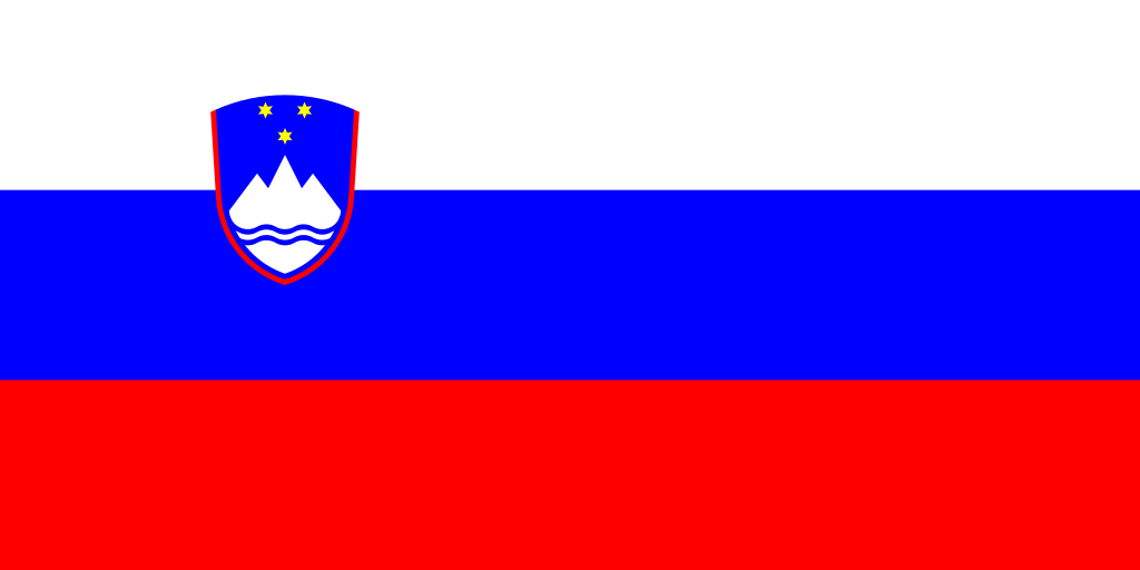
English: The flag of Slovenia.
Français : Drapeau de la Slovénie.
Italiano: Bandiera della Slovenia.
Nederlands: De vlag van Slovenië.
Polski: Flaga Słowenii
Русский: Флаг Словении
Українська: Прапор Словенії
Беларуская: Сцяг Славеніі
Colours: see talk page |
|||||
| Date | ||||||
| Source | Own work construction sheet from http://www.vlada.si/o_sloveniji/politicni_sistem/drzavni_simboli/ | |||||
| Author | User:Achim1999 | |||||
| Permission (Reusing this file) |
|
|||||
| Other versions |
Derivative works of this file: |


This vector image was created with a text editor.
File history
Click on a date/time to view the file as it appeared at that time.
| Date/Time | Thumbnail | Dimensions | User | Comment | |
|---|---|---|---|---|---|
| current | 01:02, 6 August 2022 | | 1,200 × 600 (2 KB) | wikimediacommons>TKsdik8900 | Fulfilling the upload request (File talk:Flag of Slovenia.svg#Upload request) by Mike Rohsopht |
File usage
The following 55 pages use this file:
- Contributors
- Cs:Tag:route=train
- Default speed limits
- Et:Key:highway
- Eurasia
- Europe
- Hu:State of the Map Europe 2011/Getting there
- International highway classification equivalence
- Ko:Tag:highway=motorway
- List of OSM centric Telegram accounts
- List of OSM centric Twitter accounts
- List of territory based projects
- OSM tags for routing/Maxspeed
- Past events 2019
- Pt:Highway:International equivalence
- Pt:Tag:boundary=administrative
- Sl:State of the Map Europe 2011
- Sq:Key:highway
- State Of The Map 2011/Bid/Vienna
- State of the Map Europe 2011/Getting there
- Tag:boundary=administrative
- Tag:highway=motorway
- Tag:route=train
- Tr:Life Long Learning Mapping Project
- Zh-hans:List of territory based projects
- Zh-hans:Tag:highway=motorway
- User:CroKimba
- User:Grin
- User:Hans Wurst
- User:Ivansanchez/sandbox
- User:Mitjajez
- User talk:Fredao
- User talk:Reneman/Archiv
- Template:Admin level
- Template:Countries of Europe
- Template:FR:Admin level
- Template:Highway:International equivalence
- Template:Navbar Comenius
- Template:Navbar Comenius/doc
- Template:User hails from europe
- Template:User hails from europe/doc
- DE:State Of The Map 2011/Bid/Wien
- DE:State of the Map Europe 2011/Getting there
- FR:Highway:International equivalence
- FR:Key:admin level
- ES:Colaboradores
- ES:Lista de cuentas de Twitter centradas en OSM
- ES:State Of The Map 2011/Bid/Vienna
- ES:State of the Map Europe 2011/Getting there
- ES:Tag:route=train
- IT:Contributors
- IT:Key:highway
- IT:State of the Map Europe 2011/Getting there
- RU:Key:highway
- JA:協力者