Tag:amenity=trolley_bay
Jump to navigation
Jump to search
| Description |
|---|
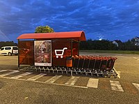
| A trolley bay (aka cart corral) is the place where trolleys are "parked". |
| Group: amenities |
| Used on these elements |
| Status: de facto |
| Tools for this tag |
|
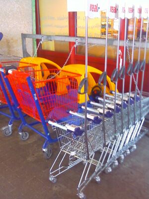
The trolley bay (US: cart corral) is the place where shopping trolleys or luggage trolleys are located.
This tag refers to a shopping cart pushed by hand; for areas where one waits for a public transport vehicle, see highway=bus_stop and trolleybus=*.
Usage
For an outdoor use, draw an area delimiting the structure or place a node in it’s center and add the amenity=trolley_bay tag.
When the bay is located indoor and there is no Indoor Mapping, the tag trolley_bay=yes has also been used on the operator amenity.
Trolley Type
| Type | Proposed tagging | Usage count |
|---|---|---|
| trolley:magnifier=* | ||
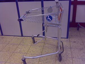
| trolley:wheelchair=* | ||
| trolley:children=* | ||
| trolley:seats=* | ||
| trolley:flatbed=* | ||
| ? | ? |
Useful combinations
- capacity=*
- covered=*
- indoor=*
- opening_hours=*
- operator=*
- trolley:deposit=*


