Windows Phone

- Reason for being historic
- Windows 10 Mobile is discontinued. The store is no longer available.
Windows Phone, currently branded Windows 10 Mobile, is a mobile operating system developed by Microsoft as the successor to Windows Mobile. Windows Phones can be used to view OpenStreetMap-based maps as well as to record GPS tracks that can be uploaded to OSM to aid in editing.
OpenStreetMap.org
The most basic way to use OpenStreetMap on your Windows Phone is to open https://www.openstreetmap.org/ in a Web browser such as Internet Explorer or Edge. The website is optimized for small screens such as those found on Windows Phone; however, the slippy map is limited to basic gestures such as drag-to-pan and pinch-to-zoom. OpenTouchMap has slightly better multitouch support. For a map-viewing experience similar to that of the Bing Maps and Here Maps applications, check out the applications below.
Applications
- Main article: Comparison of Windows Phone applications
The following applications rely on OpenStreetMap for core functionality, so they’re good ways to use OpenStreetMap on your Windows Phone. Each of these applications is actively maintained, with a new release within the last two years, as of 23:21, 26 June 2016 (UTC). For a comprehensive comparison of all available Windows Phone applications, see Comparison of Windows Phone applications.
Viewing
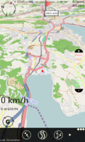
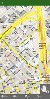
These applications provide viewing of OpenstreetMap:
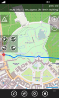
These applications provide turn-by-turn navigation and voice guidance:


Editing the map
Mapillary allows you to contribute imagery for armchair mappers to use.
Track recording
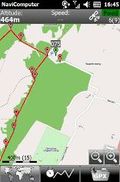
These applications allow you to record your movement as GPS tracks. You can upload your GPS tracks to OpenStreetMap to help you add features to the map. These applications also have orienteering features that are useful for navigation but not as granular as the turn-by-turn navigation applications.


Travel planning
These applications let you search for and learn about places on the map:

Libraries for developers
- Main article: Frameworks
The libraries below make it easy for Windows Phone developers to incorporate OpenStreetMap in their own applications, whether as a static map image, a fully interactive map, or more sophisticated uses like geocoding and routing. Another benefit of using these libraries is that they respect OpenStreetMap’s tile usage policy by fetching tiles and other resources from dedicated servers instead of OpenStreetMap’s donated servers.
Maps
| Library | License | Notes |
|---|---|---|
| Carto Mobile SDK | BSD | Supports 3D city overlays, editable vector overlays and is highly customizable. |
| OsmSharp | GPLv2 or commercial | Offline vector map rendering in C# using Xamarin |
Directions
| Library | License | Notes |
|---|---|---|
| OsmSharp | GPLv2 or commercial | Offline routing in C# using Xamarin |