Key:format
| Description |
|---|
| Describes the physical shape of an object. |
| Group: properties |
| Used on these elements |
| Useful combination |
| Status: in use |
| Tools for this tag |
|
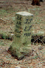
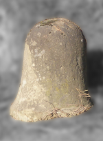
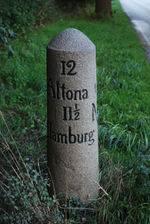
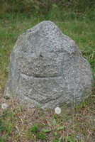
The format key describes the physical shape of an object. format=* describes the basic form, format:top=* the form of the head/the top. Used for historic milestones (historic=milestone) or boundary stones (historic=boundary_stone), but it can also be useful for other objects. For buildings, see 3D building.
Exact dimensions can be added using height=*, width=*, length=*, diameter=*.
Values of format
| Photo | 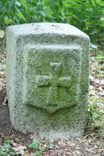
|

|
|
|
|
|
|
|---|---|---|---|---|---|---|---|
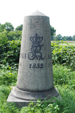
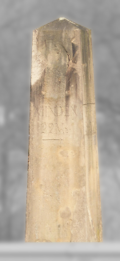
| format = | squared_stone | triangle | conus | obelisk | bell | cylindrical | irregular |
| format = (german) |
viereckig | dreieckig | kegelförmig | Obelisk | glockenförmig | zylindrisch | unregelmäßig |


