Typical output from OJW's image locator script (with minor changes to make it display on wiki)

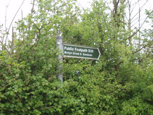
| Filename | P5080126.JPG |
|---|
| Date | 2006-05-08 |
|---|
| Image timestamp | 14:39:54 |
|---|
| Corrected timestamp | 15:37:57 |
|---|
| Quality | GPS was 2 seconds from photo |
|---|
| Latitude | 50.685811043 |
|---|
| Longitude | -1.246798038 |
|---|

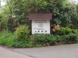
| Filename | P5080127.JPG |
|---|
| Date | 2006-05-08 |
|---|
| Image timestamp | 14:40:47 |
|---|
| Corrected timestamp | 15:38:50 |
|---|
| Quality | GPS was 6 seconds from photo |
|---|
| Latitude | 50.690639019 |
|---|
| Longitude | -1.250917912 |
|---|

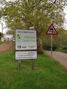
| Filename | P5080128.JPG |
|---|
| Date | 2006-05-08 |
|---|
| Image timestamp | 14:44:18 |
|---|
| Corrected timestamp | 15:42:21 |
|---|
| Quality | GPS was 1 seconds from photo |
|---|
| Latitude | 50.702226162 |
|---|
| Longitude | -1.285679340 |
|---|

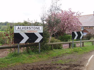
| Filename | P5080129.JPG |
|---|
| Date | 2006-05-08 |
|---|
| Image timestamp | 14:44:55 |
|---|
| Corrected timestamp | 15:42:58 |
|---|
| Quality | GPS was 1 seconds from photo |
|---|
| Latitude | 50.701646805 |
|---|
| Longitude | -1.288683414 |
|---|


