Category:Animated images
Jump to navigation
Jump to search
Subcategories
This category has the following 2 subcategories, out of 2 total.
A
- Animated featured images (6 F)
O
- Animated OSM Carto screenshots (123 F)
Media in category "Animated images"
The following 200 files are in this category, out of 206 total.
(previous page) (next page)-
01.2008-04.2010.gif 640 × 690; 482 KB
-
1579 thailand history.gif 576 × 1,058; 611 KB
-
1805.gif 800 × 523; 367 KB
-
1c1n resum 2018.gif 1,131 × 800; 2.06 MB
-
2008-08 IN Gerolfing anim.gif 924 × 852; 105 KB
-
2008-08 IN Haunwoehr anim.gif 525 × 605; 125 KB
-
20081114 geofabric anim pirna-no-bg 1596.gif 640 × 684; 54 KB
-
2014 a year of edits lesotho.gif 480 × 360; 931 KB
-
2014 a year of edits lesotho2.gif 480 × 360; 1.68 MB
-
2020-12-12 evolución 1rúa1nome.gif 640 × 452; 381 KB
-
220px-Douglas-Peucker animated.gif 220 × 70; 22 KB
-
36 1 37.gif 60 × 60; 17 KB
-
3d mesh animated kolleh town, SL.gif 600 × 290; 3.34 MB
-
5dsvdssdf.gif 1,303 × 714; 2.44 MB
-
6gre.gif 1,303 × 714; 1.98 MB
-
Aachen-z13-animated.gif 640 × 512; 1.75 MB
-
Accra transit gif.gif 500 × 292; 3.82 MB
-
Accra-mapping-16-10-17.gif 1,346 × 775; 23.52 MB
-
Add-area-selector-plugin-josm.gif 800 × 509; 368 KB
-
Add-WMS-Catastro-Edificios.gif 800 × 504; 1.25 MB
-
Address-mode-small.gif 324 × 576; 2.13 MB
-
Align-imagery-JOSM.gif 1,046 × 627; 3.41 MB
-
Animation mapping cinémas.gif 476 × 452; 287 KB
-
AP fuel import before and after.gif 926 × 693; 702 KB
-
Areaselector on cadastre.gif 1,400 × 987; 177 KB
-
B11-full-process-640.gif 640 × 512; 1.08 MB
-
Bati bgplugin.gif 1,146 × 846; 785 KB
-
Bati id.gif 1,583 × 901; 4.6 MB
-
Berliner-HB.gif 253 × 450; 357 KB
-
BG progress.gif 1,080 × 609; 106 KB
-
BHMap QGIS ordenar area fluxo.gif 1,912 × 1,009; 3.58 MB
-
Bim-import.gif 1,786 × 914; 1.89 MB
-
Bing Streetside NYC.gif 971 × 736; 4.48 MB
-
BNA2.gif 873 × 635; 134 KB
-
BNA3.gif 1,080 × 761; 706 KB
-
Bogota1.gif 334 × 535; 114 KB
-
Bogota2.gif 334 × 535; 198 KB
-
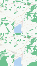
Brighton-animated.gif 640 × 380; 178 KB
-
Bézier 2 big.gif 240 × 100; 73 KB
-
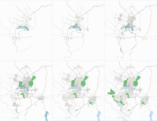
Canberra osm development.gif 350 × 404; 736 KB
-
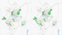
Canberra osm latest diff.gif 350 × 403; 74 KB
-
Ceesis mapping party before after.gif 1,014 × 814; 339 KB
-
Cleanup MX 1.gif 1,579 × 884; 1.03 MB
-
Comp ani.gif 128 × 160; 11 KB
-
Comparison JOSM Coloured Streets Coloured Address Data.gif 914 × 506; 103 KB
-
CphN-2007.gif 800 × 716; 750 KB
-
Create-buildings-with-area-selector-plugin-2.gif 800 × 509; 611 KB
-
Create-buildings-with-area-selector-plugin.gif 800 × 595; 1.36 MB
-
Csmap.gif 1,234 × 924; 2.06 MB
-
Custom preset.gif 1,080 × 1,920; 14.66 MB
-
Data conflation workflow 1.gif 1,595 × 844; 20.98 MB
-
Data conflation workflow2.gif 1,595 × 844; 5.98 MB
-
Data conflation workflow3.gif 1,595 × 844; 31.1 MB
-
Data conflation workflow4.gif 1,595 × 844; 2.35 MB
-
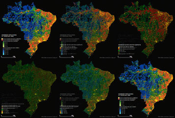
DENSIDADE DE NOS OSM 2017-transition-600px.gif 600 × 604; 3.75 MB
-
Densidade-nos-total-2014-2017.gif 800 × 640; 779 KB
-
Dnipropetrovsk.gif 790 × 540; 9.75 MB
-
Dragmode.gif 640 × 480; 1.35 MB
-
Draw roundabout using iD.gif 798 × 559; 1.12 MB
-
Early UK coverage growth 2005-2007.gif 600 × 576; 181 KB
-
Esso.gif 1,080 × 1,920; 3.8 MB
-
Europe coverage.gif 720 × 504; 195 KB
-
Gcc.gif 150 × 200; 45 KB
-
Giff222.gif 1,172 × 773; 255 KB
-
Gorizia res.gif 762 × 1,024; 1.15 MB
-
Hagupit Animation.gif 720 × 480; 3.29 MB
-
Heritage week clonmel timeline.gif 1,262 × 811; 5.94 MB
-
Historical Coverage Europe.gif 640 × 490; 218 KB
-
History Wue 00 2878.gif 800 × 514; 412 KB
-
How to add WMS Layer in JOSM.gif 1,280 × 723; 1.07 MB
-
Id-add-imagery.gif 1,200 × 600; 3.42 MB
-
Id-adjust-imagery.gif 1,024 × 760; 4.03 MB
-
Id-align-roads2.gif 990 × 642; 2.55 MB
-
Id-change-brightness3.gif 800 × 600; 537 KB
-
ID-editor create relation (enforcement).gif 1,033 × 724; 1.78 MB
-
India OpenStreetMap data loading in QGIS.gif 733 × 683; 11.72 MB
-
Indoorhelper how to.gif 1,417 × 807; 4.21 MB
-
Install.gif 975 × 829; 2.44 MB
-
Irda.gif 29 × 32; 2 KB
-
Jana Seta Kosmos animation.gif 999 × 545; 301 KB
-
JOSM christmassy sparkle.gif 828 × 559; 354 KB
-
JOSM offset correction.gif 640 × 349; 1.3 MB
-
Josm-calques.gif 653 × 370; 403 KB
-
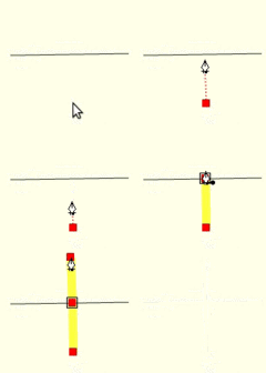
JOSM-drawing-junction-animation.gif 187 × 176; 18 KB
-
Josm-ограничение-поворота.gif 840 × 612; 259 KB
-
Josm-ограничение-право1.gif 275 × 231; 3 KB
-
Josm-ограничение-прямо1.gif 273 × 226; 3 KB
-
Josmgifs a.gif 500 × 500; 2.35 MB
-
Josmgifs alt-x.gif 500 × 500; 6.24 MB
-
Josmgifs b.gif 500 × 500; 1.16 MB
-
Josmgifs ctrl-shift-g.gif 500 × 500; 328 KB
-
Josmgifs ctrl-shift-s.gif 500 × 500; 794 KB
-
Josmgifs ctrl-shift-scrool.gif 500 × 500; 461 KB
-
Josmgifs shift-b.gif 500 × 500; 871 KB
-
Josmgifs shift-c.gif 500 × 500; 442 KB
-
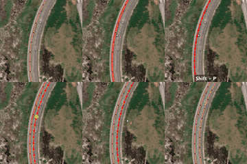
Josmgifs shift-p.gif 500 × 500; 491 KB
-
Josmgifs w.gif 500 × 500; 4.53 MB
-
Jungle bus animation-screens.gif 720 × 1,280; 484 KB
-
Kcca road conflation 2 .gif 1,823 × 1,044; 3.75 MB
-
KnifeToolWork.gif 861 × 704; 28.87 MB
-
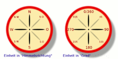
Kompass.gif 500 × 500; 64 KB
-
Landkreis Bad-Doberan history 2008 12.gif 640 × 355; 208 KB
-
Lintel ban sml.gif 120 × 60; 16 KB
-
Ljubljana-history.gif 800 × 650; 461 KB
-
LMP26-27-28.gif 500 × 494; 120 KB
-
LMP26-27-28noon.gif 500 × 494; 214 KB
-
LMP26-27.gif 500 × 494; 144 KB
-
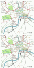
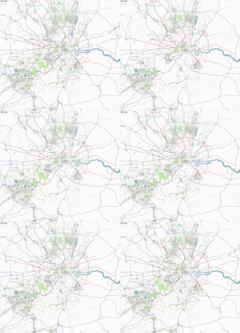
London buildings blobs animation.gif 564 × 465; 279 KB
-
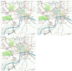
LondonProgress.gif 350 × 324; 479 KB
-
MapaTime! 20190126 062842-ANIMATION.gif 897 × 1,196; 6.92 MB
-
Mapnik opencyclemap animation.gif 782 × 532; 123 KB
-
MapOut 3D Effect.gif 750 × 350; 1.44 MB
-
MapOut 3D.gif 750 × 350; 2.22 MB
-
Maprot.gif 128 × 160; 107 KB
-
MapTilerCustomize.gif 500 × 286; 444 KB
-
Maputnik color adjustment.gif 640 × 360; 2.92 MB
-
Maputo mapathon 2019 anon 2.gif 710 × 1,268; 1.37 MB
-
Maputo mapathon 2019 anon.gif 710 × 1,266; 1.38 MB
-
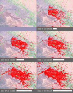
Mashhad History 2008-2011.gif 320 × 271; 122 KB
-
Mashhad history.gif 800 × 649; 482 KB
-
Maxheight map maxheight HH 2010 2014.gif 1,600 × 900; 4.45 MB
-
Merged with existing.gif 1,415 × 923; 772 KB
-
Move-Node-to-Way-Area-Selector.gif 800 × 509; 1.26 MB
-
MP jaen-baeza 2011 p.gif 575 × 325; 45 KB
-
Multilingual-india-map.gif 785 × 492; 614 KB
-
Munich-mapping-weekend2009 1.gif 1,429 × 1,273; 293 KB
-
Munich-mapping-weekend2009 2.gif 1,429 × 1,278; 340 KB
-
My bicycle track.gif 250 × 250; 4 KB
-
Navrot.gif 128 × 160; 15 KB
-
Neverdo-6 routing.gif 486 × 465; 590 KB
-
NHD download process.gif 1,920 × 952; 26.4 MB
-
Nl-20071123.gif 640 × 522; 92 KB
-
Note+add.gif 1,304 × 592; 720 KB
-
NYC buildings animated.gif 1,000 × 707; 308 KB
-
Oldtonew logo.gif 120 × 120; 340 KB
-
OpenMapTiles on-the-fly language change.gif 889 × 678; 1.3 MB
-
OSC nearby image.gif 2,880 × 1,800; 15.57 MB
-
OSC nearby photos.gif 1,210 × 805; 1.82 MB
-
OSC track detections.gif 2,880 × 1,800; 2.19 MB
-
OSC track wiki.gif 1,292 × 866; 1.87 MB
-
OSM Final Forest.gif 1,154 × 776; 708 KB
-
OSM Forest Polygon animation.gif 1,260 × 776; 714 KB
-
OSM History Region Basel.gif 640 × 359; 224 KB
-
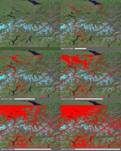
OSM History Switzerland East.gif 640 × 534; 303 KB
-
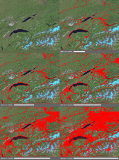
OSM History Switzerland West.gif 640 × 571; 318 KB
-
OSM Logo Animated.gif 512 × 512; 4.8 MB
-
Osm mappingparty 1 amsterdam.gif 450 × 324; 119 KB
-
OSM-History-Kempten.gif 1,024 × 698; 759 KB
-
OSM-vs-Overture-Myanmar 2.gif 780 × 734; 1.75 MB
-
OSM-vs-Overture-Myanmar.gif 1,091 × 734; 7.1 MB
-
Osmbanner1 en.gif 468 × 60; 6 KB
-
OSMNotesGuest.gif 990 × 673; 188 KB
-
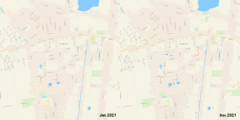
Ostrhauderfehn building mapping before after.gif 1,920 × 1,920; 785 KB
-
Overpass turbo wizard example.gif 800 × 592; 2.39 MB
-
Pampanga animated.gif 1,070 × 756; 3.47 MB
-
PGE Narodowy 3D mapbox-gl-js.gif 895 × 563; 2.08 MB
-
PGS fixup animated.gif 547 × 373; 199 KB
-
Philadelphia.gif 1,329 × 564; 8.74 MB
-
Philippines node density increase animation.gif 524 × 850; 1.65 MB
-
Piclayer auto calibration.gif 1,496 × 797; 2.97 MB
-
Piclayer usage.gif 1,421 × 815; 5.38 MB
-
Piclayer usage2018.gif 624 × 603; 558 KB
-
PlaceParts.gif 710 × 378; 409 KB
-
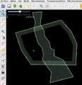
PolygonCutOut example.gif 1,013 × 1,051; 413 KB
-
Pordenone res.gif 757 × 1,024; 1.31 MB
-
Potlatch2-drawing-junction-animation.gif 154 × 144; 19 KB
-
Projektionen mit Garmin eTrex Legend HCx in 13 Schritten.gif 800 × 480; 1.04 MB
-
Pumbur-logo1.gif 480 × 320; 107 KB
-
Query feature.gif 922 × 459; 93 KB
-
Rendering of OSM data and terrain using Mapbox Unity SDK.gif 732 × 367; 1.78 MB
-
Replace.gif 641 × 405; 17 KB
-
Roadcompletion.gif 978 × 739; 4.1 MB
-
Roma OSM History 607.gif 1,600 × 1,208; 1.47 MB
-
Rome history 2011 mercator.gif 1,600 × 1,455; 831 KB
-
Rostock history.gif 320 × 265; 141 KB
-
Rostock-history-020080115.gif 480 × 587; 203 KB
-
Round-blds-id.gif 937 × 468; 273 KB
-
Selsingen building mapping before after.gif 1,920 × 1,920; 606 KB
-
Sf building height import lidar imagery workflow.gif 642 × 348; 677 KB
-
Sign up hotph.gif 1,908 × 564; 554 KB
-
SignCL Ca-sf SF Ccf.gif 83 × 350; 7 KB
-
SignCL Cp-vrab E Cp-re.gif 83 × 350; 11 KB
-
Somalia-iD-align-imagery.gif 1,147 × 569; 2.17 MB
-
Speed ani.gif 128 × 160; 12 KB
-
Sq-bld-id23.gif 775 × 447; 398 KB
-
StreetComplete - splitting way.gif 360 × 512; 7.52 MB
-
Taglist-delay-aerialway-main-page-loading.gif 1,017 × 538; 102 KB
-
Targomo Multigraph.gif 1,024 × 256; 4.22 MB
-
Telephone age.gif 1,080 × 1,920; 26.46 MB
-
Thonk animated.gif 220 × 220; 174 KB
-
TigerHairball b.gif 646 × 701; 65 KB
-
TIGERImportAnimation300.gif 300 × 166; 401 KB
-
Tofix-task.gif 994 × 807; 4.39 MB
-
Tofix.gif 906 × 752; 6.21 MB
-
TrafficSignal BicycleEarlyRelease.gif 320 × 683; 239 KB
-
Trailerbike video exemple.gif 320 × 240; 16.5 MB
-
Trieste res.gif 1,095 × 1,024; 1.38 MB
-
Udine res.gif 856 × 1,024; 1.56 MB
-
Valencia osmarender 14x.gif 610 × 501; 308 KB
-
Vanuatu2.gif 857 × 548; 2.67 MB
