Créteil (Val-de-Marne) : accessibilité handicapés

From OpenStreetMap Wiki
Jump to navigation Jump to search

Cette page permet d'illustrer des informations propres à la commune de Créteil qui ont pu être relevées en vue de qualifier la donnée OpenStreetMap.

La mobilité sur la commune :

La commune de Créteil bénéficie d'un maillage dense de dessertes de type ferroviaire, autoroutier, RER et métro, ainsi que de l'autoroute avec la voirie nationale (RN 406) et départementale (RD86, RD201, RD19A, RD1) .

La RD86 fait l'objet d'un aménagement dédié en voie propre pour des BHNS (bus à haut niveau de service) en particulier sur la route de Choisy.

La mobilité douce structure la commune avec des axes cyclables principalement le long des RD19 et au sud de la RD86. Le cheminement piéton a fait l'objet d'une reprise régulière au sein du territoire.

Les aménagements :

De par la multitude de dessertes mises en œuvre, les aménagements sont multiples : voies cyclables partagées avec piétons, trottoirs piétons, carrefours giratoires en zone urbaine, voies propres pour bus, traversées avec ilots...

Typologie d'aménagements :

Ces aménagements ont des caractéristiques qui ont pu être relevées en vue de trouver les transpositions possibles en clé-valeur dans OpenStreetMap.

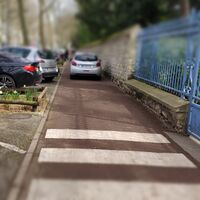
Variétés de cheminements
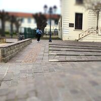
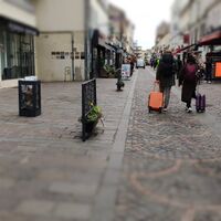
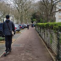
Rue piétonne Voie de service partagée
FR94028 highway-pedestrian&sidewalk 2023-03-21.jpg FR94028 highway-service &foot 2023-03-21.jpg
highway=pedestrian

wheelchair=bad

+

highway=fooway

footway=sidewalk

wheelchair=yes

highway=service

foot=yes

surface=asphalt

colour=red

smoothness=bad

Ilots de traversée
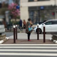
Voirie : avec potelets Voirie : en baïonnette voirie : avec espace vert Voirie : non protégé
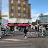
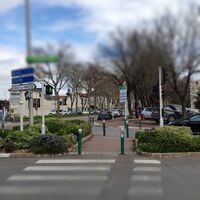
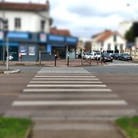
FR94028 footway=traffic island 2023-03-21.jpg FR94028 footway=traffic island 2023-03-21a.jpg FR94028 footway=traffic island&garden 2023-03-21.jpg FR94028 footway=crossing 2023-03-21.jpg
highway=footway

footway=traffic_island

highway=footway

footway=traffic_island

highway=footway

footway=traffic_island

crossing:bollard=contrasted

highway=footway

footway=crossing

crossing:bollard=contrasted tactile_paving=yes
Types d'aménagements à repérer et pouvant faire l'objet d'une qualification fine.
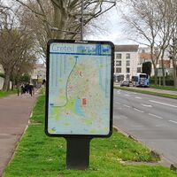
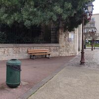
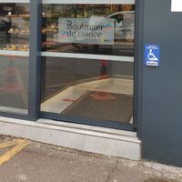
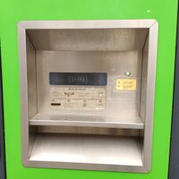
Panneau de localisation Banc près de l'église Commerce et bouton d'appel Retour de livres
FR94028 information=map 2023-03-21.jpg FR94028 amenity=bench 2023-03-21.jpg FR94028 shop=bakery 2023-03-21.jpg FR94028 amenity=library dropoff 2023-03-21.jpg
information=map

operator=JCDecaux

position=green

colour=brown

amenity=bench

material=wood

lit=yes

bin=yes

backrest=yes

shop=bakery

wheelchair:call_button=yes

call_button=wheelchair

amenity=library_dropoff

colour=green

name=boîte de retours

Types d'aménagements liés à la mobilité
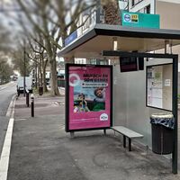
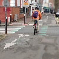
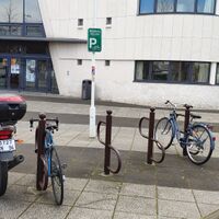
Arrêt de bus Desserte voiture et piétons Traversée piétons et vélos Stationnement 2 roues
FR94028 highway=bus stop 2023-03-21.jpg FR94028 highway=service 2023-03-21.jpg FR94028 highway=crossing&bicycle 2023-03-21.jpg FR94028 amenity=bicycle parking 2023-03-21.jpg
highway=bus-stop

shelter=yes

tactile_paving=no

bin=yes

bench=yes

highway=service

surface=asphalt

foot=yes

highway=crossing

crossing:bollard=contrasted

tactile_paving=yes

amenity=bicyle_parking

capacity=8

La cartopartie du 21-03-2023 :

En amont de la cartopartie des éléments ont pu être collectés permettant d'aider à caractériser des anomalies pouvant être reprises ou corrigées.

Dans le cheminement des éléments peuvent faire l'objet de vigilance particulière : le revêtement au sol, les rétrécissements ponctuels, les dégradations d'équipements qui permettent soit d'informer la collectivité ou d'aider au routage en utilisant le champ description=*.

Anomalies relevées et situations générées (handicaps cognitif & visuel).
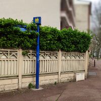
Fléchage dans la végétation
Logo-handicapmental.jpg
(cognitif : non lisible)
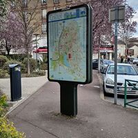
Caisson publicitaire et trottoir
Logo-handicapvisuel.jpg
(visuel : obstacle)
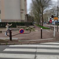
Traversée et barrière pivotante
Logo-handicapvisuel.jpg
(visuel : obstacle)
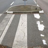
Bande d'éveil & vigilance
Logo-handicapvisuel.jpg
(visuel : BEV non détectée)
FR94028 information=guidepost 2023-03-21.jpg FR94028 advertising=poster box 2023-03-21.jpg FR94028 barrier=swing gate 2023-03-21.jpg FR94028 tactile paving=bad 2023-03-21.jpg
information=guidepost

colour=blue

advertising=poster_box

position=sidewalk

hazard=yes

kerb=lowered

barrier=swing_gate

access=yes

hazard=blind;bicycle

kerb=flush

tactile_paving=damaged

tactile_paving:material=rubber

Anomalies relevées et situations générées (handicap moteur).
Trottoir avec rétrécissement
Logo-handicapmoteur.jpg
(moteur : inconfort)
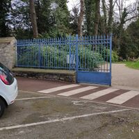
Place PMR non conforme
Logo-handicapmoteur.jpg
(moteur : place étroite)
Traversée sécurisée
Logo-handicapmoteur.jpg
(moteur : dangereux)
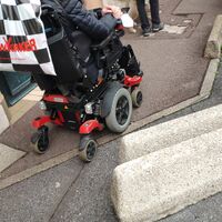
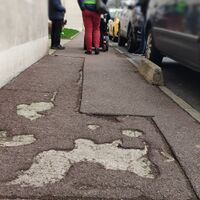
Trottoir inconfortable
Logo-handicapmoteur.jpg
(moteur : revêtement dégradé)
FR94028 highway=sidewalk 2023-03-21.jpg FR94028 parking space=disabled 2023-03-21.jpg FR94028 crossing-island=bad 2023-03-21.jpg FR94028 sidewalk-smoothness-bad 2023-03-21.jpg
highway=footway

footway=sidewalk

width=0.90

surface=asphalt

amenity=parking_space

parking_space=disabled

width=2,5

wheelchair=no

crossing:island=bad

footway=crossing

wheelchair=bad

highway=footway

smoothness=bad

wheelchair=bad


Escalier sans main courante
Logo1-personnesagees-400x380.jpg
(sénior : dangereux)
FR94028 highway=steps 2023-03-21.jpg
highway=steps

step:contrast=no

handrail=no

Des cartoparties