File:2007 08 21 China Pakistan Karakoram Highway Khunjerab Pass IMG 7354.jpg
Jump to navigation
Jump to search


Size of this preview: 800 × 502 pixels. Other resolutions: 320 × 201 pixels | 640 × 402 pixels | 1,024 × 643 pixels.
Original file (1,024 × 643 pixels, file size: 391 KB, MIME type: image/jpeg)
This file and its description are from Wikimedia Commons.
Summary
| Description |
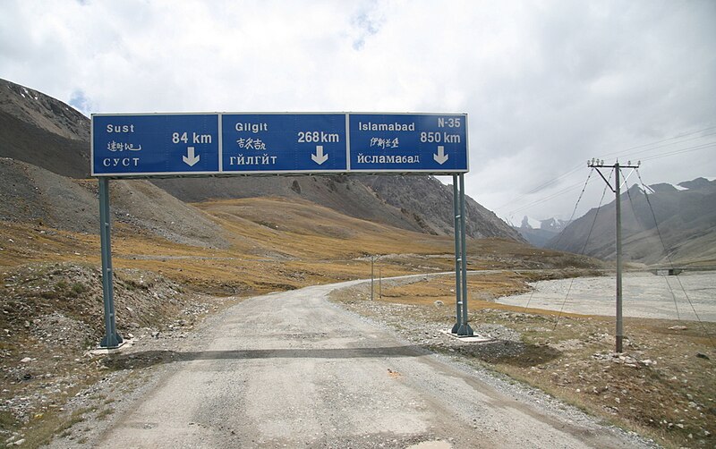
English: Karakoram Highway over Khunjerab Pass between China and Pakistan is the highest elevation International Border Crossing in the World. |
| Date | |
| Source | Own work |
| Author | Anthonymaw |
Licensing
I, the copyright holder of this work, hereby publish it under the following license:
This file is licensed under the Creative Commons Attribution-Share Alike 3.0 Unported license.
- You are free:
- to share – to copy, distribute and transmit the work
- to remix – to adapt the work
- Under the following conditions:
- attribution – You must give appropriate credit, provide a link to the license, and indicate if changes were made. You may do so in any reasonable manner, but not in any way that suggests the licensor endorses you or your use.
- share alike – If you remix, transform, or build upon the material, you must distribute your contributions under the same or compatible license as the original.
File history
Click on a date/time to view the file as it appeared at that time.
| Date/Time | Thumbnail | Dimensions | User | Comment | |
|---|---|---|---|---|---|
| current | 20:21, 19 September 2023 | | 1,024 × 643 (391 KB) | wikimediacommons>Beao | Cropped 6 % vertically using CropTool with lossless mode. Removed watermark. |
File usage
The following 4 pages use this file: