File:Arreton.png
Jump to navigation
Jump to search
Size of this preview: 800 × 542 pixels. Other resolutions: 320 × 217 pixels | 640 × 434 pixels | 1,031 × 699 pixels.
Original file (1,031 × 699 pixels, file size: 22 KB, MIME type: image/png)
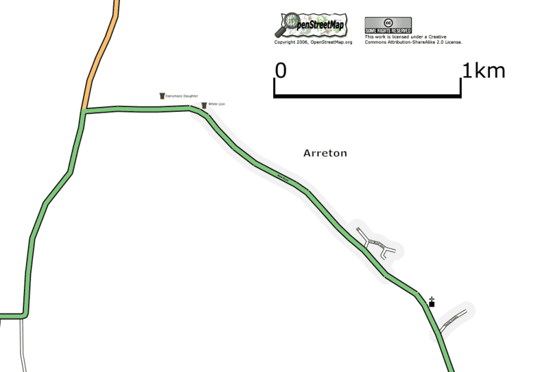
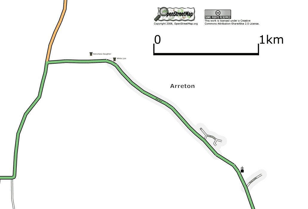
Arreton, Isle of Wight, UK. As at 29 July 2006.
Map of Arreton
This map and others like it, were created by OpenStreetmap contributors, and are licensed as Creative Commons CC-BY-SA 2.0 (https://creativecommons.org/licenses/by-sa/2.0/) (see OpenStreetMap licence).
Use {{mapof|PlaceName}} to add this template to your images.
This map and others like it, were created by OpenStreetmap contributors, and are licensed as Creative Commons CC-BY-SA 2.0 (https://creativecommons.org/licenses/by-sa/2.0/) (see OpenStreetMap licence).
Use {{mapof|PlaceName}} to add this template to your images.
File history
Click on a date/time to view the file as it appeared at that time.
| Date/Time | Thumbnail | Dimensions | User | Comment | |
|---|---|---|---|---|---|
| current | 00:22, 30 July 2006 | | 1,031 × 699 (22 KB) | Dmgroom (talk | contribs) | Arreton, Isle of Wight, UK. As at 29 July 2006. |
You cannot overwrite this file.
File usage
The following page uses this file: