File:Ashford Kent UK Map.png
Jump to navigation
Jump to search

No higher resolution available.
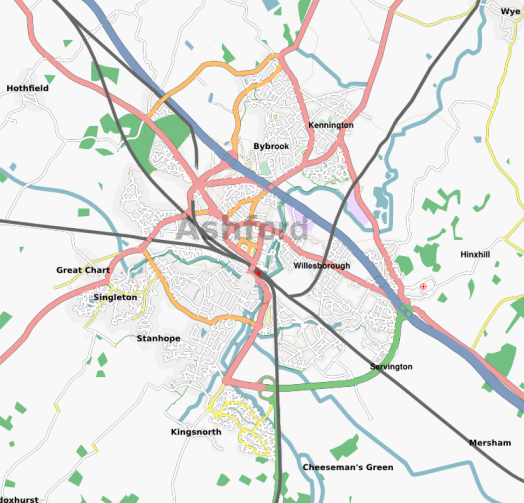
Ashford_Kent_UK_Map.png (524 × 503 pixels, file size: 267 KB, MIME type: image/png)
I adapted this from an OSM screenshot. I guess it's on the CC BY-SA license. TimSC (talk) 23:34, 4 July 2022 (UTC)
Licensing
![]()
Contains map data © OpenStreetMap contributors, made available under the terms of the Creative Commons Attribution-ShareAlike 2.0 (CC-BY-SA-2.0).
File history
Click on a date/time to view the file as it appeared at that time.
| Date/Time | Thumbnail | Dimensions | User | Comment | |
|---|---|---|---|---|---|
| current | 19:13, 7 June 2007 | | 524 × 503 (267 KB) | TimSC (talk | contribs) | |
| 11:28, 7 May 2007 | 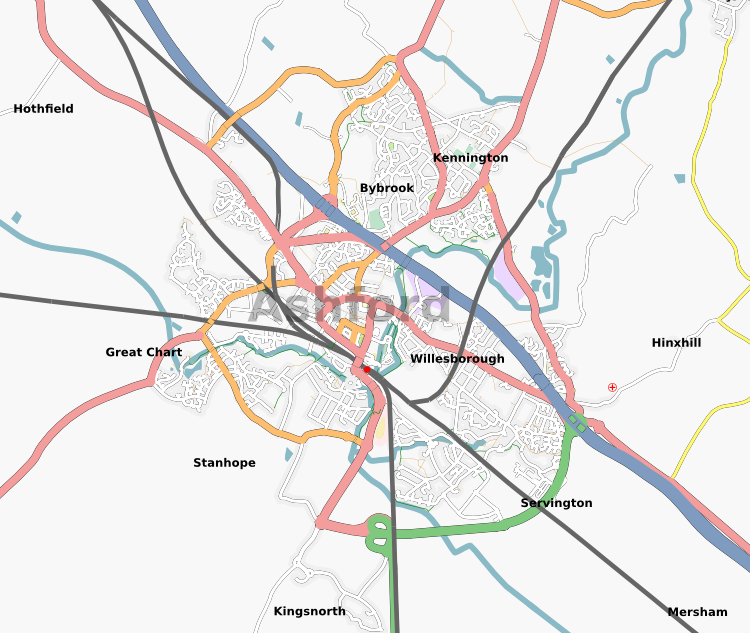 | 750 × 633 (285 KB) | TimSC (talk | contribs) | ||
| 18:10, 29 March 2007 | 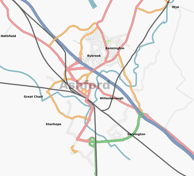 | 778 × 707 (214 KB) | TimSC (talk | contribs) |
You cannot overwrite this file.
File usage
The following page uses this file: