File:Askimsbadet marholmen.png
Jump to navigation
Jump to search
Size of this preview: 754 × 600 pixels. Other resolutions: 302 × 240 pixels | 604 × 480 pixels | 966 × 768 pixels | 1,090 × 867 pixels.
Original file (1,090 × 867 pixels, file size: 356 KB, MIME type: image/png)
Summary
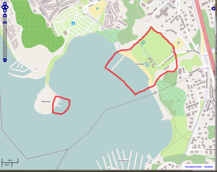
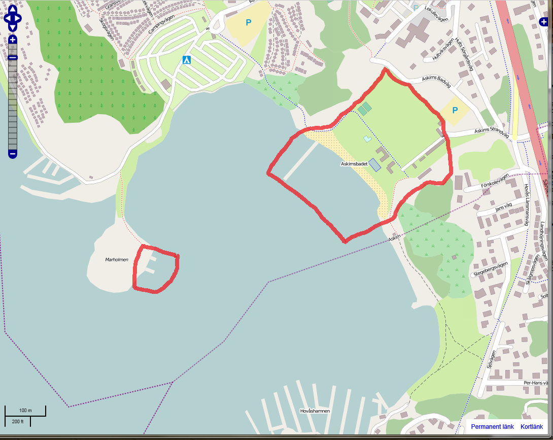
A screenshot from mapnik-view showing the larger bathing spot called Askimsbadet to the right and the much smaller MArholmen to the left, encircled in red. This is Askim south of Göteborg, Sweden.
![]()
Contains map data © OpenStreetMap contributors, made available under the terms of the Creative Commons Attribution-ShareAlike 2.0 (CC-BY-SA-2.0).
File history
Click on a date/time to view the file as it appeared at that time.
| Date/Time | Thumbnail | Dimensions | User | Comment | |
|---|---|---|---|---|---|
| current | 17:31, 19 March 2012 | | 1,090 × 867 (356 KB) | Johan Jönsson (talk | contribs) | A screenshot from mapnik-view showing the larger bathing spot called Askimsbadet to the right and the much smaller MArholmen to the left, encircled in red. This is Askim south of Göteborg, Sweden. |
You cannot overwrite this file.
File usage
The following page uses this file: