File:Boho mapping event.jpg
Jump to navigation
Jump to search

Size of this preview: 800 × 600 pixels. Other resolutions: 320 × 240 pixels | 640 × 480 pixels | 1,024 × 768 pixels | 1,280 × 960 pixels | 2,048 × 1,536 pixels.
Original file (2,048 × 1,536 pixels, file size: 377 KB, MIME type: image/jpeg)
Summary
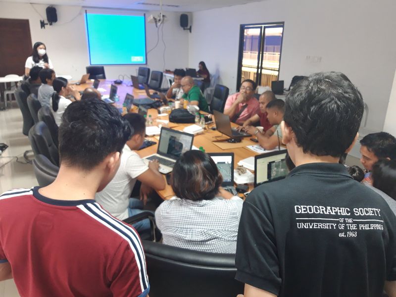
Building resilient communities in Bohol (Philippines) through OpenStreetMap.
Photo tweeted (and presumably taken?) by Carlo Felipe: https://twitter.com/carlofelipe/status/1154299488451751936
Licensing
Releasing CC BY-SA 4.0 by permission
![]()
![]()
![]()
This work is licensed under the Creative Commons Attribution-ShareAlike 4.0 License.
Attribution not specified as a parameter! THIS LICENSE ALWAYS REQUIRES ATTRIBUTION! Use {{CC-BY-SA-4.0|Attribution, typically name of author}} See Template:CC-BY-SA-4.0 for full description this template should be used.
Attribution not specified as a parameter! THIS LICENSE ALWAYS REQUIRES ATTRIBUTION! Use {{CC-BY-SA-4.0|Attribution, typically name of author}} See Template:CC-BY-SA-4.0 for full description this template should be used.
File history
Click on a date/time to view the file as it appeared at that time.
| Date/Time | Thumbnail | Dimensions | User | Comment | |
|---|---|---|---|---|---|
| current | 08:09, 29 July 2019 | | 2,048 × 1,536 (377 KB) | Harry Wood (talk | contribs) | Building resilient communities in Bohol through OpenStreetMap. Carlo Felipe https://twitter.com/carlofelipe/status/1154299488451751936 |
You cannot overwrite this file.
File usage
The following 5 pages use this file: