File:Br-ruas-municipios.png
Jump to navigation
Jump to search

Size of this preview: 800 × 439 pixels. Other resolutions: 320 × 176 pixels | 640 × 351 pixels | 1,038 × 570 pixels.
Original file (1,038 × 570 pixels, file size: 299 KB, MIME type: image/png)
Summary
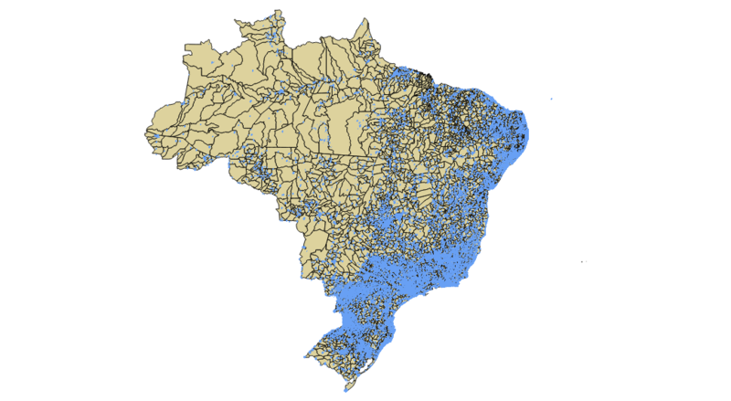
Sobreposição das ruas residenciais sobre o território dos municípios brasileiros.
Licensing
| Contains map data © OpenStreetMap contributors, made available under the terms of the Open Database License (ODbL).
The ODbL does not require any particular license for maps produced from ODbL data, produced maps may be subject also to other licences. |
File history
Click on a date/time to view the file as it appeared at that time.
| Date/Time | Thumbnail | Dimensions | User | Comment | |
|---|---|---|---|---|---|
| current | 15:52, 28 April 2016 | | 1,038 × 570 (299 KB) | LucFreitas (talk | contribs) | |
| 15:50, 28 April 2016 | 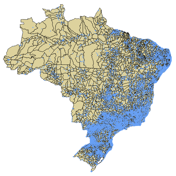 | 570 × 570 (281 KB) | LucFreitas (talk | contribs) | Sobreposição das ruas residenciais sobre o território dos municípios brasileiros. |
You cannot overwrite this file.
File usage
There are no pages that use this file.