File:Canterbury.png
Jump to navigation
Jump to search

Size of this preview: 636 × 600 pixels. Other resolutions: 255 × 240 pixels | 509 × 480 pixels | 874 × 824 pixels.
Original file (874 × 824 pixels, file size: 304 KB, MIME type: image/png)
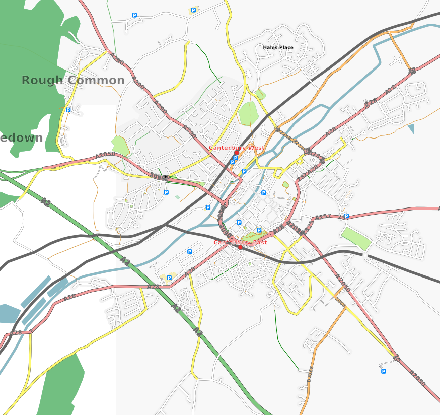
Image of Canterbury, UK generated late Feb 2007
![]()
Contains map data © OpenStreetMap contributors, made available under the terms of the Creative Commons Attribution-ShareAlike 2.0 (CC-BY-SA-2.0).
File history
Click on a date/time to view the file as it appeared at that time.
| Date/Time | Thumbnail | Dimensions | User | Comment | |
|---|---|---|---|---|---|
| current | 21:28, 25 May 2007 | | 874 × 824 (304 KB) | Gregoryw (talk | contribs) | |
| 09:57, 18 April 2007 |  | 754 × 717 (189 KB) | Gregoryw (talk | contribs) | Updated Canterbury map. 2007-Apr-18. | |
| 20:04, 26 February 2007 |  | 640 × 644 (46 KB) | Jammeh (talk | contribs) | Image of Canterbury, UK generated late Feb 2007 |
You cannot overwrite this file.
File usage
The following page uses this file: